Overview
Aglishdrinagh (also recorded as Aglishdrideen) lies in the baronies of Orrery and Kilmore, about 3½ miles southwest of Charleville on the road to Buttevant. The parish covers roughly 4,770 statute acres of tillage fields and hilly pasture. In 1837 the population was 973, indicating a close‑knit rural community that has retained much of its historic character.
History
The name derives from the Irish Eaglais (church) and Druim (ridge), meaning “church on the ridge”. Samuel Lewis’s Topographical Dictionary of Ireland (1837) records the parish within the Diocese of Cloyne and notes that the living was a rectory under the Bishop’s patronage. At that time no standing church existed, but the foundations of an ancient parish church were still visible on the ridge – the ruins that can be seen today.
The 19th‑century landscape was shaped by the Tithe Applotment Books and Griffith’s Valuation, both now digitised on the National Archives website, providing a valuable resource for genealogists. The parish formed part of the Catholic union of Ballyhea (or Newtown), linking it to St Mary’s church in Ballyhea.
Getting There & Access
- By car: From Charleville, follow the R‑road south‑west towards Buttevant; the graveyard is sign‑posted after about 5 km. A small free lay‑by at the edge of the graveyard provides parking for cars and bicycles.
- Public transport: Charleville railway station (on the Dublin‑Cork line) is 3.5 mi away. Regular Bus Éireann services (routes 220/221) stop in Charleville; from there a local taxi or a short walk along the R‑road reaches the site.
- Accessibility: The graveyard path is grass‑covered and uneven; it is suitable for sturdy walking shoes but not wheelchair‑friendly.
- Dog‑friendly: Dogs are permitted on a lead, as the area is open countryside.
What to See & Do
Church Ruins
The stone foundations of the medieval parish church are still discernible on the ridge. The site is marked on historic maps and can be located via the Genuki entry for Aglishdrinagh. The ruins give a tangible sense of the ecclesiastical footprint that once served the community.
Historic Graveyard
The Aglishdrinagh graveyard was surveyed in autumn 2020 as part of the Historic Graves pilot coordinated by Ballyhoura Development CLG and volunteers from Charleville Heritage Society. Sixteen memorials were recorded, many bearing the names of long‑standing families such as Barry, Harrison and De Courcy.
A detailed sketch‑map (PDF) is available from the Historic Graves site and is geotagged, allowing visitors to locate individual headstones with a smartphone. Oral histories recorded during the project add personal anecdotes to the stones you encounter.
Scenic Countryside
Beyond the built heritage, the surrounding fields and hedgerows provide a quintessentially Irish rural backdrop. The parish’s proximity to the River Blackwater makes it easy to combine a graveyard visit with a leisurely walk along the riverbank or a stop in Charleville’s market and cafés.
Community & Research
The survey forms part of the national Historic Graves project, a grassroots initiative that trains local volunteers to carry out low‑cost, high‑tech field surveys of historic burial sites. Funded through LEADER grants and supported by local heritage officers, the project creates a geotagged, multimedia database that links Aglishdrinagh’s records with those of neighbouring graveyards such as Charleville Church of Ireland and Ballyhea Old. The pilot was presented at the European Association of Archaeologists conference in 2021 and continues to serve genealogists worldwide.
Nearby Attractions & Day‑Trip Ideas
- Ballyhea – historic village with St Mary’s church; a short drive north (link: Ballyhea).
- Charleville – market town with a weekly market, cafés and the River Blackwater walking trail.
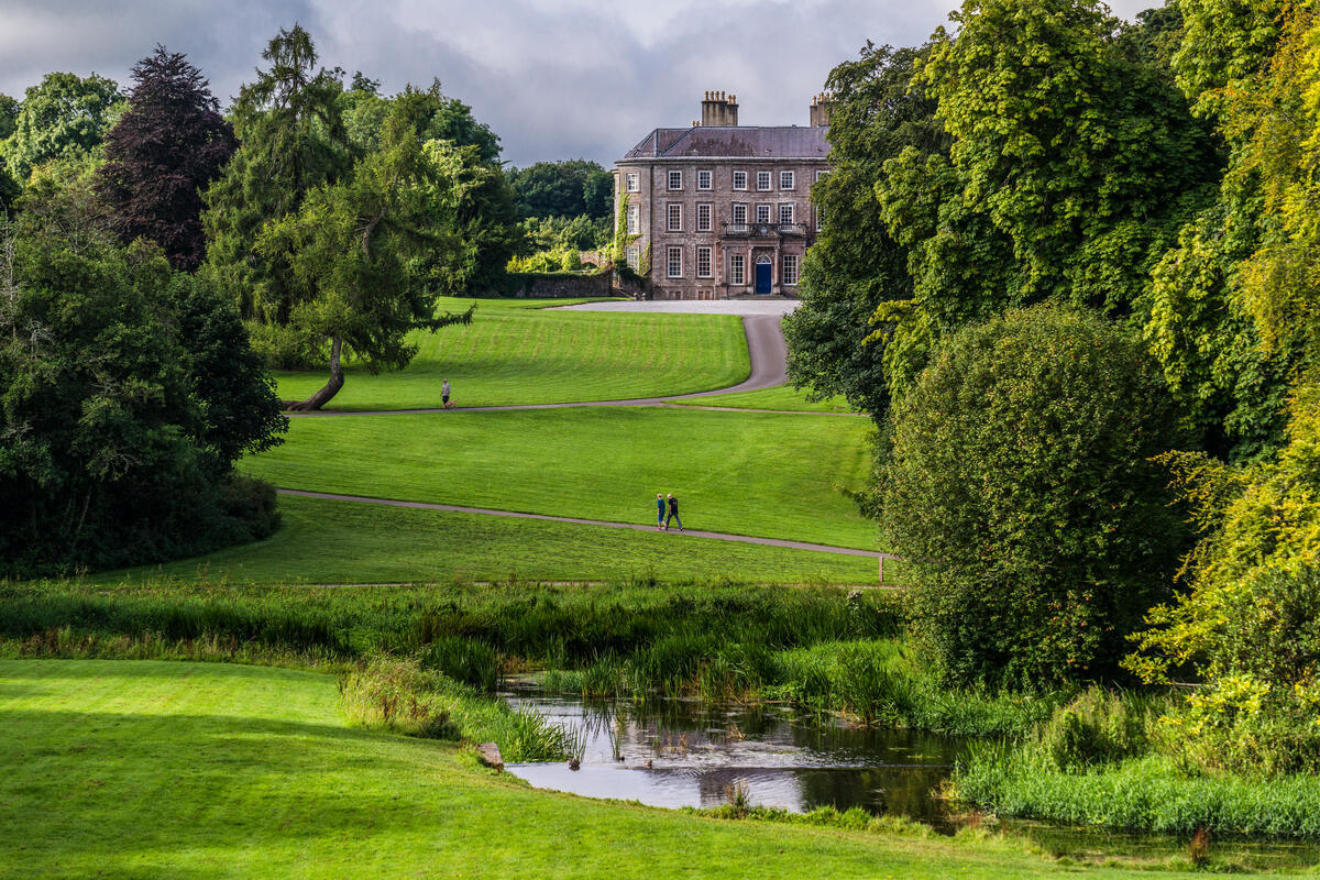
- Doneraile Estate – 18th‑century house and gardens set in rolling parkland, about 12 km east.
- Buttevant – medieval town with a heritage centre and castle ruins, 8 km south‑west.
Practical Information
| Item | Details |
|---|---|
| Coordinates | 52.307475 N, 8.688631 W |
| Nearest Town | Charleville (3.5 mi / 5.6 km) |
| Access | Public road (R‑road from Charleville to Buttevant). Free lay‑by parking at the graveyard edge. |
| Opening Hours | Open year‑round; no formal opening times as it is free public land. |
| Admission | Free |
| Website | Genuki – Aglishdrinagh |
| Further Reading | Genealogical details on Genuki and historic maps via the Vision of Ireland portal. |
The graveyard survey was a community‑driven effort, supported by LEADER funding and local heritage officers. While there is no visitor centre, the PDF map and the online Historic Graves database provide all the interpretive material you need.
Overall, Aglishdrinagh offers a modest but richly layered experience: historic ruins, a meticulously documented graveyard and tranquil countryside, making it a rewarding stop for genealogy enthusiasts, walkers and anyone interested in Cork’s lesser‑known heritage corridors.