Overview
The Arigna Mountains rise to 413 m on the western edge of the Lough Allen basin, forming a dramatic ridge that frames the Arigna Valley. The landscape is a blend of rugged upland terrain, sweeping five‑county vistas and a dense cluster of prehistoric passage tombs, most famously the Carrowkeel complex. At the heart of the valley sits the Arigna Mining Experience – a fully accessible visitor hub that offers underground tours of Ireland’s last working coal mine, interactive exhibitions and a showcase of modern renewable‑energy projects. The Miners Way & Historical Trail, a 118 km network of marked paths, threads through the mountains, linking the villages of Dowra, Boyle and Arigna and providing hikers with spectacular viewpoints, glacial erratics such as Labby Rock, and striking wind‑farm panoramas.
History & Background
Coal extraction began in the early 1700s, supplying fuel for domestic heating, shipbuilding and the Irish iron industry. For four centuries the mines sustained the isolated community of Arigna, even during the Great Famine when the industry offered rare employment in Connacht. The final commercial pit closed in 1990, ending a 400‑year legacy. In 2003 the community transformed the disused shafts into the Arigna Mining Experience, preserving tools, photographs and documents that chart the evolution of mining techniques. The exhibition also highlights the valley’s contemporary shift to sustainable power, linking its industrial heritage with wind‑energy developments that now dot the ridge.
What to See & Do
- Miners Way & Historical Trail – 118 km of marked routes with elevation gain of 2 150 m. Highlights include the Carrowkeel megalithic tombs, Labby Rock, a stand of Sequoia trees, and panoramic wind‑farm views. Walkers can tackle the whole trail or enjoy shorter sections, such as the loop that starts in Arigna village and passes the visitor centre.
- Underground Guided Tour – A 45‑minute descent into authentic coal seams, led by former miners who share first‑hand stories and demonstrate historic extraction methods. The tunnel temperature stays a constant 10 °C and the walkways are wheelchair‑accessible.
- Exhibition Space – Displays of mining tools, geological models, a photographic archive spanning four centuries and a short DVD of footage filmed weeks before the mines closed in 1990.
- Renewable Energy Centre – Interactive exhibits explain how wind and other green technologies now power the valley, illustrating the transition from coal to clean energy.
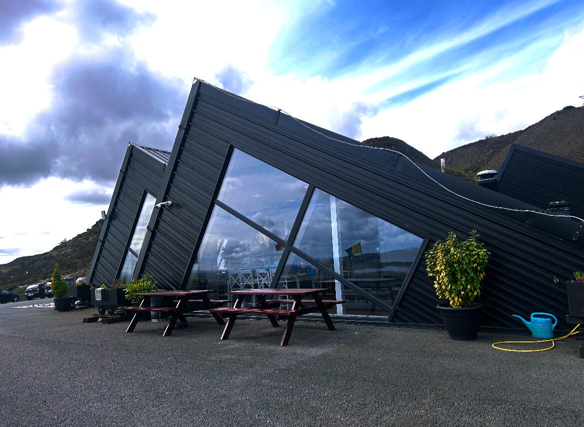
- Café & Gift Shop – The on‑site café offers lunches and snacks with panoramic views over Lough Allen; the shop stocks mining‑themed souvenirs, local crafts and hoodies.
- Special Events – Seasonal attractions such as a festive “Santa’s Grotto” in December, plus facilities for corporate groups, school trips and private celebrations.
- Scenic Viewpoints – The visitor centre’s terrace and several ridge points provide ideal photography spots of the lake, mountains and surrounding countryside.
Geology & Landscape
The Arigna ridge sits on a foundation of shale, sandstone and thin coal seams that were formed during the Carboniferous period. These rocks give the area its distinctive, craggy profile and support the historic mining activity. A small, non‑native grove of Sequoia trees, planted in the early 20th century as a windbreak for the mines, now offers a surprising splash of evergreen colour against the grey stone. The ridge’s open moorland is interspersed with glacial erratics, peat bogs and the occasional wind‑farm turbine, creating a varied landscape that changes dramatically with the weather.
Seasonal Highlights
- December – Santa’s Grotto – The visitor centre hosts a family‑friendly Christmas grotto, complete with a festive market and seasonal treats.
- Winter Winds – The surrounding wind‑farms are most visible when the sky is clear, offering striking silhouettes against the low winter sun.
- Summer Wildflowers – Late spring and early summer bring a carpet of heather and wildflowers across the upland plateaux, perfect for photography.
Nearby Attractions
- Boyle Abbey – A well‑preserved Cistercian ruin just a short drive north, set beside the River Boyle.
- Curlew Mountains – A scenic ridge between Boyle and Castlebaldwin offering additional walking routes and panoramic views of the Shannon basin.
- Lough Key Forest Park – A short 30‑minute drive east, ideal for families seeking woodland walks, zip‑lining and a lake cruise.
Getting There
Arigna Mining Experience is located on the slopes of Kilronan Mountain, just off the N4 between Boyle and Roscommon. From Roscommon town, follow the N4 west for 22 km, then take the R285 south into Arigna village; the centre is sign‑posted from the main road. Parking is free on‑site with space for about 30 cars plus dedicated disabled bays. The site is fully wheelchair‑accessible, with ramps leading to the exhibition and underground tour. Public transport to Arigna is limited – the nearest bus stop is in Boyle, so a car or organised tour is the most reliable way to visit.
Practical Information
Opening Times
| Day | Opening | Last Tour |
|---|---|---|
| Monday – Sunday | 10:00 am | 4:30 pm |
| Closed | 24‑26 December | – |
Admission (as listed)
| Category | Price |
|---|---|
| Adult | €15 |
| Child | – |
Access – The centre is reachable by road from the villages of Arigna, Boyle and Roscommon. Public transport options are limited; a car or organised tour is recommended.
Facilities – Free parking (approx. 30 spaces), wheelchair‑accessible paths, restrooms, café and gift shop are available on site.
Tip for visitors – Dress in layers for the underground tour (constant 10 °C) and bring sturdy walking shoes for the ridge walks. Early morning visits often provide the clearest views over Lough Allen.