Overview
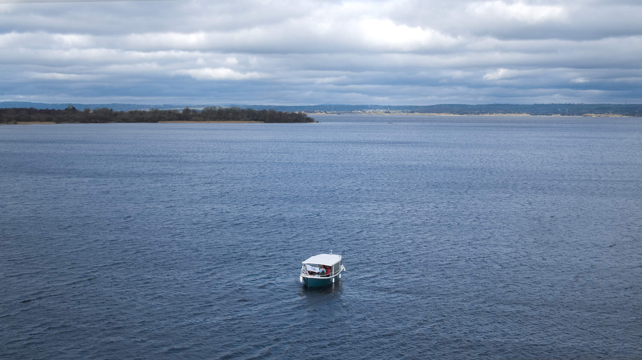
Armstrongs Hill rises from the rolling uplands of County Antrim, just three kilometres from the small village of Clady. The hill’s summit sits on a dry, blanket‑bog surface that feels almost otherworldly underfoot, while the surrounding landscape is a patchwork of wetland, low‑lying lakes and open heath. From the top, the western horizon is dominated by the vast expanse of Lough Neagh, Ireland’s largest lake, stretching out in a shimmering sheet that seems to meet the sky. The site is catalogued under grid reference J2675 and is part of the broader “Uplands” and “Lakes, Wetland, Bog” geographical tags used by the Geograph community.
The hill is not a towering mountain – its modest height makes it accessible to a wide range of walkers – but its isolation and the surrounding blanket bog give it a sense of quiet grandeur. Photographs taken by Eric Jones in May 2012 capture the stark beauty of the summit, showing the flat, dry plateau framed by the endless blue of Lough Neagh to the west.
History & Background
While Armstrongs Hill does not boast a recorded historic event or ancient monument, its very existence tells a story of Ireland’s post‑glacial landscape evolution. The blanket bog that cloaks the hill is a product of thousands of years of peat accumulation, a natural archive of climate and vegetation change. Such bogs are characteristic of the north‑west Antrim uplands and have long supported low‑intensity grazing and wild‑flower habitats.
The hill’s name appears in modern hill‑walking literature, featuring in several of Ireland’s summit lists that catalogue notable high points for enthusiasts. Its inclusion in the Geograph database and the Ireland Walking Guide’s extensive hill‑list coverage suggests that Armstrongs Hill is recognised by the walking community as a worthwhile summit.
Cairn and Heritage
About 1 km west of the summit lies Carn Sheaain Bhuidhe (Yellow John’s Cairn), marked on the 1:25 000 OS map of Belfast City. The cairn’s name is thought to refer to a local legend involving a member of the O’Neill dynasty, although the exact story is unclear. The stone pile provides a modest landmark for walkers and adds a touch of historic intrigue to the otherwise natural landscape.
National Trust and Access
Armstrongs Hill forms part of a larger National Trust property that also includes Divis Mountain, Black Mountain and Mount Gilbert. The land was formerly owned by the Ministry of Defence and remained closed to the public for over fifty years before being transferred to the Trust. Today the area is open year‑round and features a network of walking trails that cross heath, stone tracks, board‑walks and quiet road sections. The habitat supports a variety of wildlife, including wading birds, waterfowl and grazing cattle; visitors are asked to keep dogs on a lead.
What to See & Do
Walking the Summit
The most popular route to the top begins at the minor road that runs just south of Clady. From the village, a well‑marked footpath snakes through low‑lying fields before reaching the edge of the blanket bog. The terrain is relatively gentle, with a few short ascents that reward you with ever‑widening views. The walk is typically completed in 1½–2 hours round‑trip, making it ideal for a half‑day outing.
Photography & Birdwatching
The summit’s unobstructed western aspect makes it a prime spot for sunrise and sunset photography. The reflective surface of Lough Neagh often mirrors the sky’s colours, creating dramatic compositions. Birdwatchers may also spot waterfowl and wading birds that use the surrounding wetlands as feeding grounds, especially during migration periods.
Exploring the Bog Flora
Blanket bogs support a distinctive suite of plant life, including Sphagnum moss, heather and cotton‑grass. A close‑up look at the lower slopes reveals the delicate, spongy texture of Sphagnum, a key component of peat formation. Nature lovers can take a moment to appreciate these subtle ecosystems, which are often overlooked on more dramatic mountain climbs.
Events & Festivals
Each June the North West Mountain Rescue Team organises a walking festival on the National Trust lands that include Armstrongs Hill. The event offers 10 km and 20 km routes that traverse the hill and surrounding peaks, providing a chance to experience the landscape in a guided setting. A vintage tractor and vehicle exhibition has also been part of the programme, running from early afternoon to mid‑afternoon on the festival day.
Getting There
Access – The hill is reached via a minor road just south of Clady. A short, well‑marked footpath leads from the roadside lay‑by to the summit. Parking is free at the lay‑by; space is limited but sufficient for a few cars. No public transport serves the exact trailhead, so a private vehicle is the most convenient option.
What to bring – As there are no facilities on the hill, carry water, snacks and a map or GPS device. Walking boots with good ankle support are advisable, especially after rain when the boggy sections can become soft. Keep dogs on a lead to avoid disturbing grazing cattle.
Seasonal tip – The view across Lough Neagh is clearest on dry, sunny days. Early morning or late‑afternoon light enhances photographic opportunities, while misty conditions can produce striking low‑cloud scenes.
Practical Information
| Detail | Information |
|---|---|
| Grid Reference | J2675 |
| Latitude | 54.6132049 |
| Longitude | -6.0367013 |
| Nearest Village | Clady (≈ 3 km) |
| Access | Public footpaths from the Clady road; free parking at the roadside lay‑by |
| Facilities | None – bring water and snacks |
| Cairn | Carn Sheaain Bhuidhe located ~1 km west of summit |
| Entry | Free |
The hill is on open land with no formal visitor centre, so plan to bring your own provisions. Parking is typically available at the small lay‑by just off the local road; there is no charge and the space is sufficient for a few cars. The path to the summit is not paved, but the ground is firm enough for standard walking boots. No special permits are required, but as with all upland areas in Northern Ireland, respect any private‑property signs that may appear along the route.
For navigation, the OpenStreetMap contributors provide a detailed map that can be accessed via the link on the Geograph page. The summit’s exact coordinates (54.6132049 N, 6.0367013 W) can be entered into any GPS device or smartphone mapping app to pinpoint the location.
Because the hill sits on a blanket bog, the ground can stay damp after heavy rain, even though the summit itself is described as a “dry site”. Walkers should be aware of the subtle change in footing when traversing the boggy sections. The view westward across Lough Neagh is best enjoyed on clear days; cloud cover can obscure the lake but may also create dramatic low‑cloud photography opportunities.
Nearby Attractions
After a walk on Armstrongs Hill, consider exploring the Antrim Coast and Glens – a designated Area of Outstanding Natural Beauty with dramatic cliffs, sandy beaches and charming villages. The coastal route offers additional walking options and the chance to experience the rugged Atlantic shoreline that frames the northern part of County Antrim.
Overall, Armstrongs Hill offers a quiet, rewarding escape from the busier tourist routes of Antrim. Its combination of gentle walking, expansive lake views, unique bog ecology and occasional community events makes it a valuable stop for anyone seeking a slice of Ireland’s natural heritage.