
Overview
Ballygroll Prehistoric Landscape sits on a gentle ridge overlooking the Sperrin foothills, just a short walk from the village of Claudy in County Londonderry. Spread over 11 acres, the site packs more than a dozen distinct monuments into a compact, peat‑rich environment. Visitors are greeted by a patchwork of stone circles, a V‑shaped court tomb, several wedge‑shaped cairns, standing stones and a barrow that dates to around 730 BC. The landscape feels both wild and intimate – the stones rise from heather‑covered ground, and the occasional view of the distant mountains adds a cinematic backdrop to the ancient stones.
History
The monuments at Ballygroll were first recorded in an 1835 Ordnance Survey memoir, which noted the concentration of prehistoric features on the south and west flanks of Loughermore Mountain. Over the centuries many of the stones suffered at the hands of treasure‑hunters and agricultural development; a notorious 1815 incident saw a landowner dig into a so‑called “Giant’s Grave” and remove two flagstones. By the late 19th century, peat extraction and the conversion of bogland to arable fields had further damaged the site.
In the 1970s the Irish State intervened. The Department of the Environment took ownership in 1973, safeguarding an 11‑acre core that remains under state care today. The first systematic description of the monuments appeared in 1940, but the only full excavations took place in 1978 and 1979. The 1978 dig uncovered a 6 m square segment of ancient field walls, while the 1979 excavation revealed a barrow 4 m in diameter, underlain by a pit dated to roughly 1920 BC. Radiocarbon dating of the barrow itself placed its construction around 730 BC, firmly in the Late Bronze Age. Despite these investigations, much of Ballygroll remains unexcavated, leaving a tantalising archaeological puzzle for future researchers.
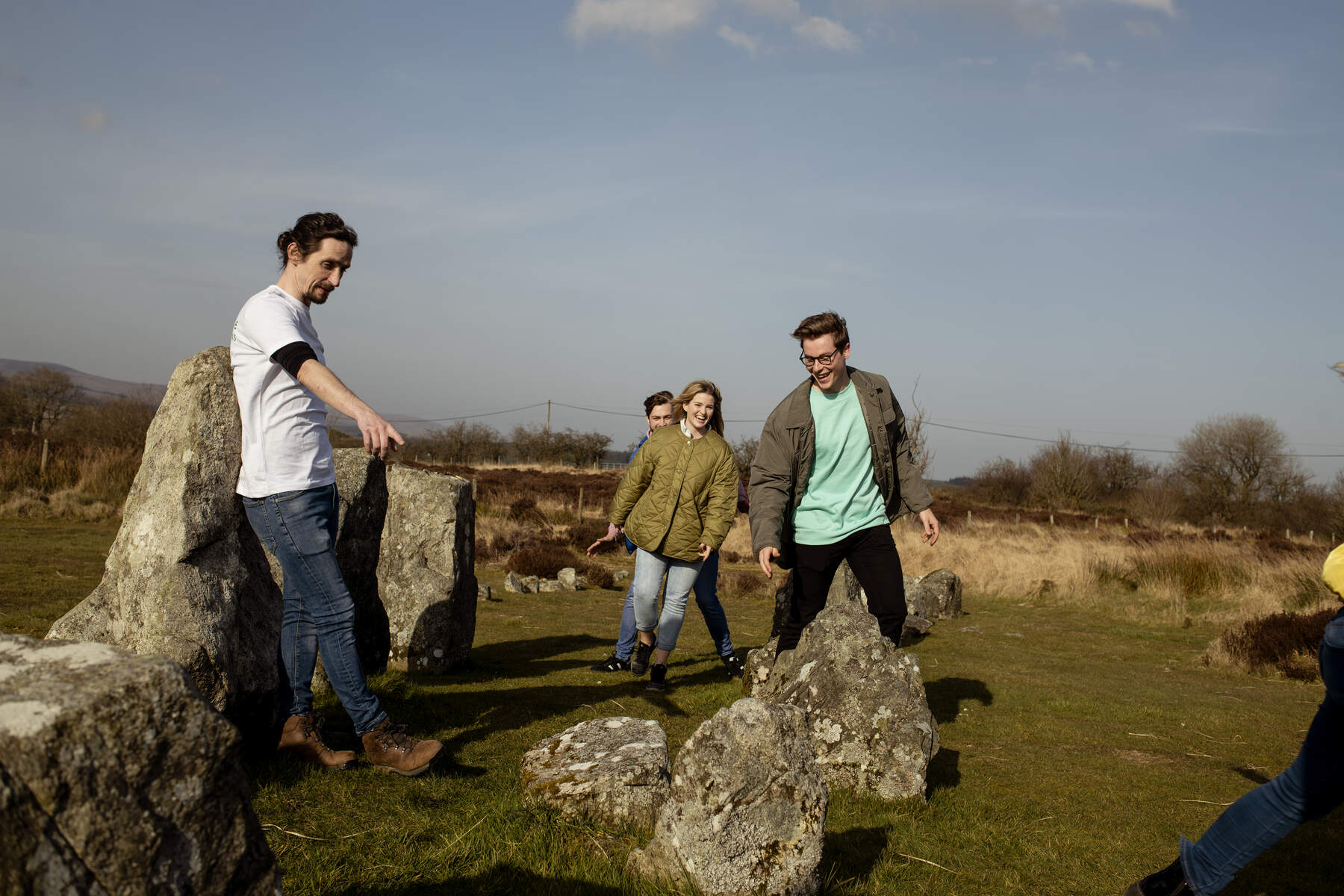
What to See & Do
Court Tomb
The most northerly monument on the site, the court tomb boasts a V‑shaped forecourt that once led to a roofless gallery. Only one orthostat of the façade survives, but the two‑chamber layout is still discernible. The court’s stone slab still bears faint cup marks, inviting speculation about ritual use.
Stone Circles
Two stone circles sit a few metres apart. The western circle consists of two concentric rings – an outer ring of 18 stones and an inner ring of 17 – creating a striking bullseye effect when viewed from the centre. The eastern circle is a partial arrangement of 21 stones, with five outlying stones that may have formed an alignment. Both circles are partially overgrown, rewarding careful walkers with glimpses of the ancient layout.
Wedge Graves and Cairns
Scattered across the ridge are at least six wedge‑shaped cairns, each with a heel‑shaped stone pile that typifies later Neolithic burial practice. One wedge grave retains three orthostats and a capstone, and pottery fragments were recovered beneath the capstone during the 1970s digs. Smaller cist graves, marked by solitary capstones, dot the landscape as well.
Barrow and Pit
The Late Bronze Age barrow, a low earthen mound about 4 m across, sits beside a deeper pit dated to the early Bronze Age (c. 1920 BC). No human remains were found, suggesting the barrow may have served a ceremonial rather than funerary purpose.
Standing Stones and Alignments
Two quartz stones and two schist stones, identified only in 2008 after a heather burn cleared the surrounding vegetation, hint at a larger, now‑lost stone arrangement. Alignments of six and three stones stretch over 8.5 m and a shorter distance respectively, adding a subtle astronomical dimension to the site.
Exploring Ballygroll is essentially a self‑guided walk. A short, unpaved farm track leads from the parking area to a circular path that loops around the main monuments. While the terrain is uneven and often covered in heather, the sense of discovery – spotting a stone circle through a veil of moss or tracing the outline of a court tomb – is rewarding for anyone with an interest in prehistoric Ireland.
Practical Information
Getting there – The site is most easily reached by car via the A6. From Belfast, follow the A6 south‑west past Limavady, then turn toward Claudy. The final 0.5 km farm lane is sign‑posted off Ervey Road. Public transport options include the Translink Route 261 bus from Limavady to Claudy; the bus timetable is available on the Translink Journey Planner. From the Claudy stop, a narrow farm lane leads to the trailhead – a short walk of about 0.3 miles.
Parking – A small free car park sits at the trailhead. The lot accommodates a few vehicles, but the unpaved surface and proximity to a working farm mean larger vehicles may find access challenging. Visitors are asked to leave space for agricultural traffic and to respect any temporary signage.
Access & Accessibility – The path from the car park to the monuments is short but uneven, with sections of heather, peat and low stone walls. While the site is open year‑round, the terrain may be difficult for visitors requiring wheelchair access or those with limited mobility. No formal facilities (toilets, visitor centre) are provided on‑site, so plan accordingly.
Nearby attractions – After exploring Ballygroll, consider a short drive to the Beaghmore Stone Circles in County Tyrone (≈ 9 km) for a larger complex of Bronze Age circles.
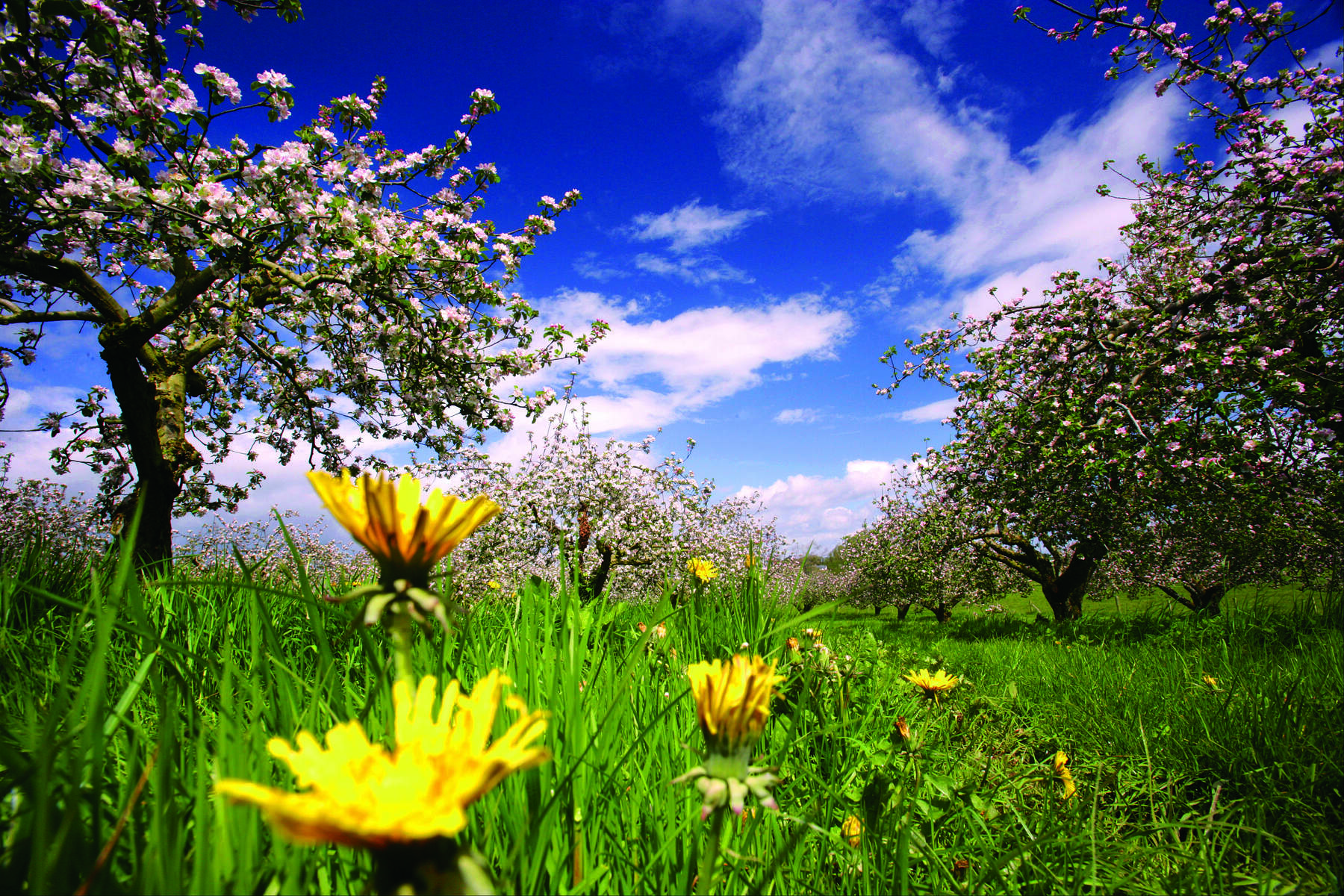
Seasonal notes – Spring and autumn bring clearer skies and vibrant heather, while summer offers extended daylight for longer walks. Winter can be especially quiet, with the stone silhouettes standing stark against a muted landscape.
Visitor etiquette – As a State Care Monument, Ballygroll relies on respectful, low‑impact visitation. Stay on the established paths, avoid moving stones, and take any litter with you. The site’s remote character is part of its charm; preserving it ensures future generations can experience the same sense of ancient mystery.
Further information – For the most up‑to‑date details, the dedicated page on Trips.ie provides coordinates (54.66667 N, ‑7.08333 W) and links to public transport resources.
Enjoy the quiet power of Ballygroll, where each stone whispers a story that spans millennia.