Overview
Bartragh Island (Irish: An Bheartrach) sits about a mile offshore in Killala Bay on the north‑west coast of County Mayo. Covering roughly 0.75 sq mi (1.9 km²) and extending about 4.5 km in length, the island is a classic sand‑barrier landscape of shifting dunes, salt‑marshes and tidal mudflats. Designated a European Union Special Protection Area (SPA) and Special Area of Conservation (SAC), it is managed primarily as a nature reserve for breeding seabirds and wading birds. There are no paved paths, visitor centres or other built facilities – the experience is deliberately wild and self‑guided.
History / Background
- Early 19th century – the Kirkwood era: Captain Charles Kirkwood (1788‑1859), a veteran of the Battle of Trafalgar, secured a lease on the island in 1831. He commissioned a detached, double‑pile Georgian‑Gothic house (1831‑1838) on an L‑shaped plan centred on a full‑height gabled break‑front. The house featured seventeen reception and bedroom spaces, a central courtyard, service wings and a walled garden set on a limestone plinth. Architectural details recorded by the National Inventory of Architectural Heritage include Tudor‑headed central openings, miniature gablets, carved timber window surrounds and a half‑dormer attic.
- 1837 vandalism: Three men, angry over Kirkwood’s low‑priced mutton, smashed 156 panes of glass in a dramatic episode.
- Mid‑century decline: Kirkwood’s mental health deteriorated; he was declared of unsound mind in 1849 and died in 1859. The estate passed through successive owners, including Captain Verner after World II and later Charles Wynne‑Roberts (husband of actress Joyce Redman), who added a private generator and running water while maintaining a modest livestock operation.
- Late 20th century attempts: Psychologist Mary Molloy bought the island in 1989 and began a renovation programme in the early 1990s, hoping to create a natural‑health and education centre. Financial and legal pressures halted the project and the house fell back into ruin.
- 21st‑century ambitions: Golf legend Nick Faldo acquired Bartragh in 2003 with plans for a Ryder‑Cup‑class links course, but environmental objections and ownership disputes stalled the scheme. In 2021 the island sold for €1.1 million to a European investor who announced intentions for a sustainable farm and a luxury holiday home, leaving the house as a poignant reminder of the island’s layered past.
Geology & Landscape
Bartragh Island is a Holocene formation, created after the last glaciation (<12 000 years ago) by wind‑driven erosion and deposition of sand. The island consists mainly of unconsolidated sand dunes dominated by Marram grass, with dune heights reaching up to 20 m on the northern side. Between the high dunes lie dune slacks – low‑lying, damp hollows that support a distinct plant community. The southern part of the island is grazed pastureland surrounding the historic house.
The surrounding waters form part of the Killala Bay/Moy River estuary, a complex of winding channels, sandbanks and strong currents. At low tide extensive intertidal sand and mud‑flats are exposed, providing vital feeding grounds for waders.
Conservation & Management
Bartragh Island lies within the Killala Bay/Moy River SPA (004036) and the Killala Bay/Moy River Estuary SAC (00458), both European designations aimed at protecting the sand‑flats, mud‑flats and dune habitats. The dune complex is regarded as one of the most natural and intact in Ireland.
The island is privately owned (most recently by a European investor) but traditionally open to day‑visitors who respect the SPA restrictions. A gorse fire in March 2010 damaged sand‑binding vegetation, highlighting the fragility of the dune system. Management bodies have suggested installing an information board at the nearby Ross Strand car‑park to explain the island’s ecological and geological significance.
What to See & Do
Birdwatching
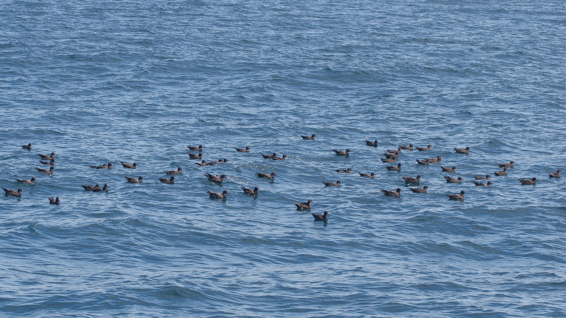
The sand‑dune system and salt‑marshes host breeding colonies of Arctic tern, Sandwich tern, great skua and various gulls. During migration the mudflats attract brent geese, bar‑tailed godwit, curlew and redshank. Winter brings flocks of curlew and redshank again, making the island a premier site for ornithologists and casual birdwatchers alike.
Architectural Remains
Even in dereliction, Bartragh House offers striking features:
- Georgian‑Gothic break‑front – a central gabled projection that once housed a colonnaded portico.
- Miniature gablets and battlemented capping – decorative roof‑line elements still visible beneath lichen‑spotted tiles.
- Carved timber window surrounds – fragments of original timberwork on the north façade, with remnants of panelled shutters.
- Half‑dormer attic and original U‑shaped plan visible in the remaining walls.
- Collapsed helical staircase and overgrown courtyard, providing atmospheric backdrops for photography.
Walking & Photography
Time a walk with the low tide to cross the sand‑spit safely. The island’s isolation offers dramatic Atlantic horizons, shifting light on the dunes, and the occasional glimpse of a great skua soaring overhead. There are no marked trails, so navigation is by eye and tide tables.
Practical Information
- Access: The island can be reached on foot at low tide via the sand‑spit from the Ross Strand car‑park, or by private boat. Check local tide tables (e.g., the Irish Marine Forecast) and allow ample time to return before the water rises.
- Parking: Free parking is available at Ross Strand (near the beach and the Ross Strand Caravan Park). No on‑site facilities exist on the island.
- Facilities: No toilets, cafés or marked trails. Bring water, sturdy footwear, a packed lunch and a wind‑proof jacket.
- Permissions: The island is privately owned but traditionally open to day‑visitors who respect the SPA/SAC designations. Camping, fires and disturbance of nesting birds (April‑July) are prohibited.
- Safety: The terrain is uneven; be cautious of hidden mudflats and shifting dunes. Mobile reception can be patchy, so inform someone of your plans.
- Conservation: Stay on firm ground, avoid litter, and keep a safe distance from bird colonies during the breeding season.
Nearby Attractions
- Ross Strand Beach – a Blue Flag beach with a car‑park and information board; ideal for a post‑island walk.
- Killala – a historic fishing village with a harbour, pubs and the Killala Bay Maritime Museum (link to its page if available).
- Ballycroy National Park – a short drive north offers extensive bogland walks and wildlife spotting; see Ballycroy National Park.
Bartragh Island offers a rare blend of wild coastal ecology, geological interest and evocative history. Whether you are a birdwatcher, a lover of ruinous architecture, or simply seeking solitude on a windswept Atlantic outpost, the island rewards patience, respect for nature and a sense of adventure.