Overview
The Burren Way is a 118.8 km (approximately 74 mi) linear, waymarked long‑distance trail that traverses the heart of County Clare’s UNESCO‑recognised Burren Geopark. Starting at the seaside resort of Lahinch and finishing in Corofin, the route can be broken into five full‑day sections, each beginning at a designated trailhead – Lahinch, Doolin, Lisdoonvarna, Ballyvaughan, Carran and Corofin. The way is marked by a yellow arrow on a black background and follows a mix of quiet tarmac roads, green lanes, ancient cattle‑droving tracks and rugged limestone paths. The total ascent is modest – about 540 m – but the terrain includes steep climbs out of the Caher Valley and dramatic descents into the Feenagh Valley.
History & Landscape
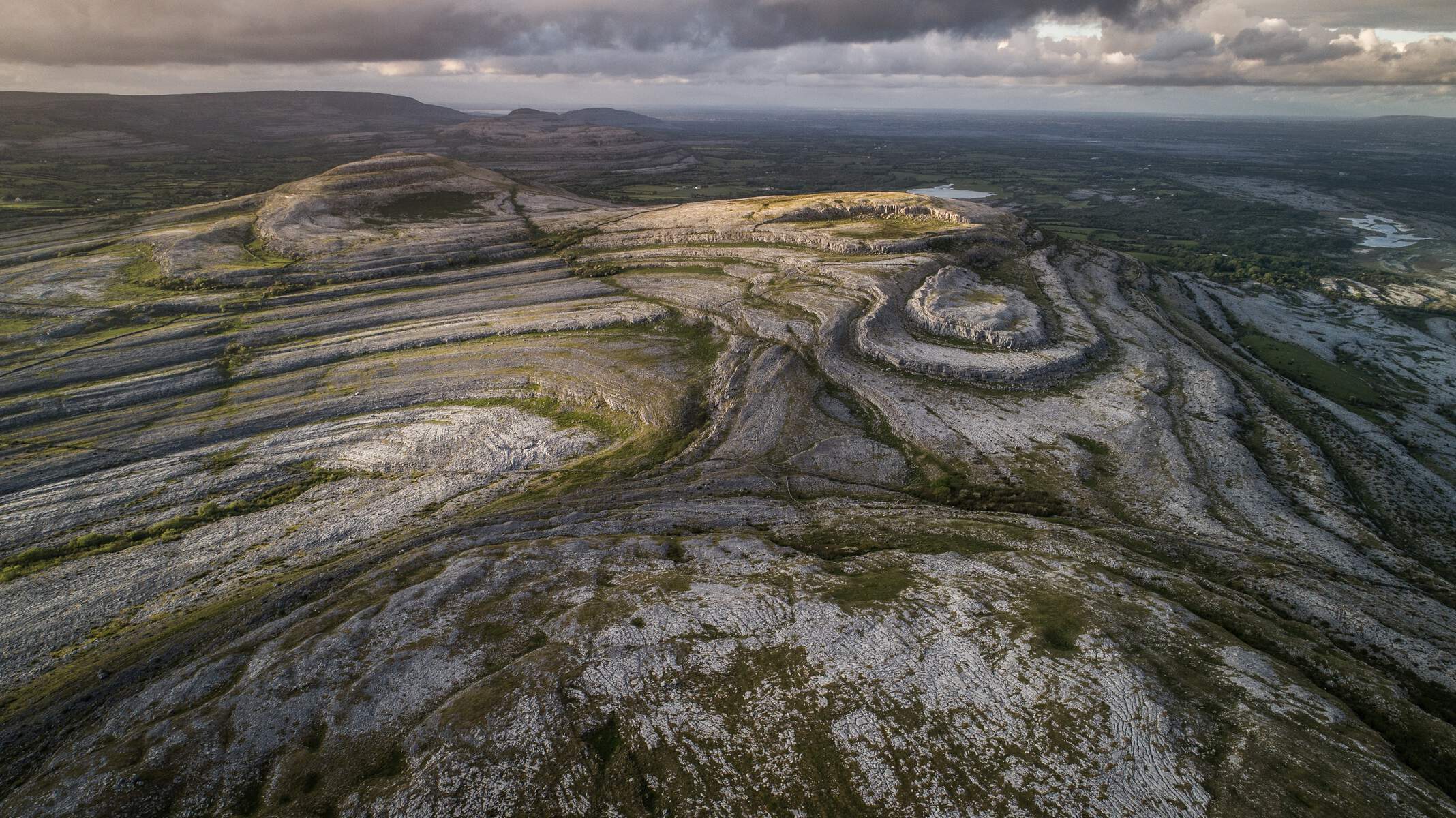
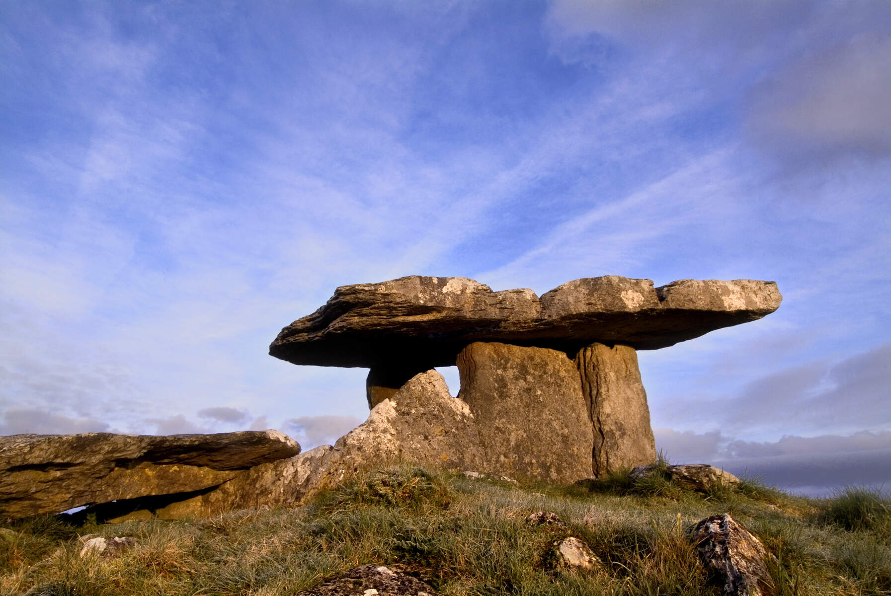
The Burren’s limestone pavement dates back over 330 million years, creating a stark, rocky landscape that supports an extraordinary convergence of Arctic, Mediterranean and alpine flora – more than 70 % of Ireland’s plant species are found here. Human occupation is equally ancient. Neolithic monuments such as the 4,200‑year‑old Poulnabrone portal tomb and the cliff‑edge Cahercommaun ring fort dot the route, while early‑Christian ruins and medieval castles, including Newtown Castle at Ballyvaughan, testify to continuous settlement. The trail therefore offers a living archive of natural and cultural history, allowing walkers to move from prehistoric stone circles to the lively traditional‑music scene of Doolin.
What to See & Do
| Section | Highlights | Approx. Distance |
|---|---|---|
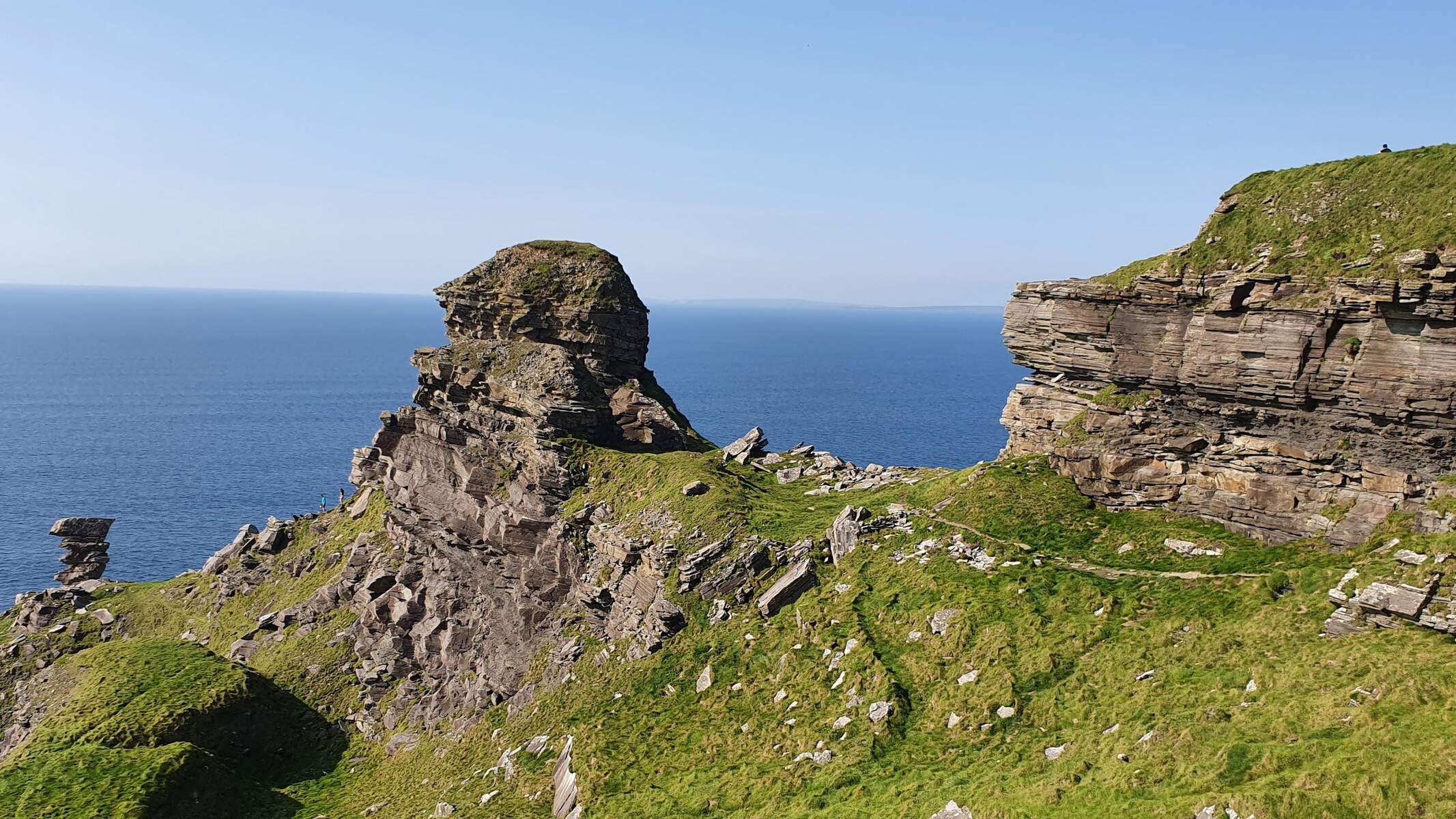
| Lahinch → Doolin | Coastal cliffs, Cliffs of Moher viewpoint, Aran Islands seascape | 20 km |
| Doolin → Lisdoonvarna | Black Head Loop, limestone pavements, Aillwee Burren Experience (0.8 km from trail) | 25 km |
| Lisdoonvarna → Ballyvaughan | Slieve Elva summit (344 m), historic stone walls, Newtown Castle | 23 km |
| Ballyvaughan → Carran | Carran Turlough, early‑Christian church ruins, Corcomroe Abbey (8 km from trail) | 14 km |
| Carran → Corofin | Burren National Park terraces, wildflower‑rich valleys, final descent to the River Fergus | 16 km |
Key points of interest along the way include:
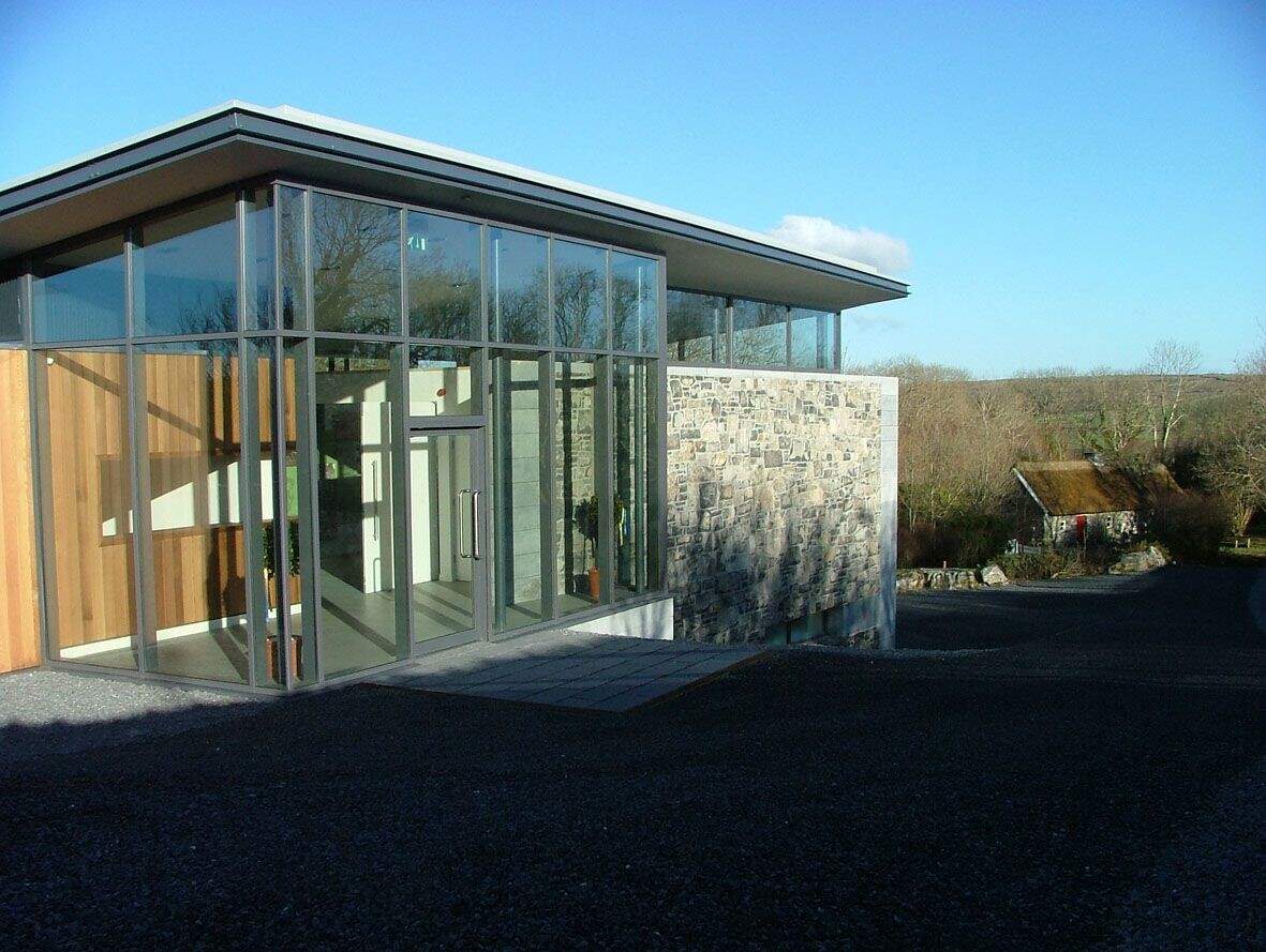
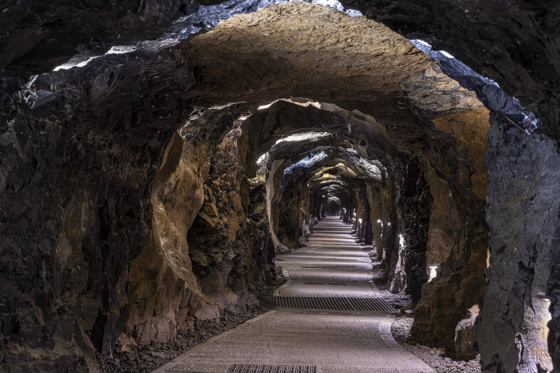
- Aillwee Burren Experience – a short detour from the Black Head Loop where visitors can explore ancient caves, see birds of prey and learn about local traditions (0.8 km from the trail).
- Corcomroe Abbey – atmospheric medieval ruins set in a surprisingly green valley, reachable from the Carran section (8 km away).
- Poulnabrone Tomb – one of Ireland’s most photographed portal tombs, perched on the road between Doolin and Lisdoonvarna.
- Cliffs of Moher – an 8‑km coastal stretch of the Way offers unrivalled views of the Atlantic, the Aran Islands and the towering sea cliffs.
- Burren National Park – the trail skirts the park’s limestone terraces, providing opportunities to join short nature loops such as the Green Arrow Route (2 km, moderate).
The route is popular with walkers of moderate fitness; the overall grade is described as “moderate to difficult”. Dogs are not permitted on the trail, a rule enforced to protect the fragile flora and archaeological sites.
Practical Information
Access & Parking
Parking is free at a series of designated lay‑bys and village car parks. The most frequently used sites are:
| Location | Type | Notes |
|---|---|---|
| Gortlecka Crossroads Lay‑by (L1112/R1112) | Small lay‑by | Limited spaces, close to Mullaghmore Loop trailhead |
| Corofin Village | Village car park | Free shuttle (May‑August) to Gortlecka trailhead during peak season |
| Fanore Beach Car Park | Beach‑side car park | Direct access to Black Head Loop and Caher Valley Loop |
| Ballyvaughan & Carron Village | Village car parks | Near Cassidy’s Pub, basic accessibility features |
| Lahinch, Doolin, Lisdoonvarna, Tubber | Town car parks | Signage indicates specific trailhead access |
Parking is unrestricted in time, but spaces can fill quickly in summer. The seasonal shuttle from Corofin runs every 15‑20 minutes and reduces traffic near the Gortlecka lay‑by. Parking along Crag Road is discouraged to protect the ecosystem.
Maps & Guides
- Official Burren Way PDF – https://www.burrengeopark.ie/wp-content/uploads/2013/09/Burren-Way.pdf
- Geopark Trail Map – https://www.galwaytourism.ie/wp-content/uploads/2021/07/the-burren-way-geopark-map.pdf
- Ordnance Survey Discovery Series – Sheets 51, 52 and 57 (1:50 000 scale).
- Guidebooks – The Burren Way Map Guide (Shannon Development) and The Waymarked Trails of Ireland by Michael Fewer.
Public Transport
Limited Bus Éireann services connect Lahinch and Doolin to nearby towns; a winter schedule applies. At the end of the walk, buses run from Corofin to Galway and back to Lahinch (subject to seasonal timetables). Check the Bus Éireann website for current times.
Trail Management & Safety
The trail is overseen by Clare Local Development Company (Rural Recreation Officer Eoin Hogan, Tel: 065‑6866800, email: ehogan@cldc.ie). Sections of the Cliffs of Moher segment were temporarily closed from 22 August 2024 for safety works; the closure covered a 5 km stretch from Hags Head to just south of the Visitor Centre and a 500 m section north of the centre. Walkers should follow posted signage and avoid the closed sections.
Seasonal Considerations
Spring offers the most spectacular wildflower displays, with gentians and “bloody cranes” blooming across the limestone fields. Mid‑summer (May‑August) sees the highest visitor numbers, especially at the Cliffs of Moher and Doolin. The trail is open year‑round, but some sections may be wetter in winter, affecting footing on the green roads.
Accommodation & Services
Each of the six trailheads is located near villages that provide a range of lodging options – from B&Bs and guesthouses to the luxury Gregans Castle Hotel. Meals, pubs with traditional music (notably in Doolin), and basic supplies are readily available. The trail’s design allows walkers to break the journey at any of the villages, making it flexible for both five‑day completions and shorter day‑hikes.
Summary
The Burren Way delivers a compact yet diverse Irish walking experience: dramatic coastal cliffs, ancient stone monuments, and a botanical showcase unrivalled elsewhere in the British Isles. With free, well‑signposted parking, a wealth of maps and guidebooks, and a network of welcoming villages, it remains one of Ireland’s most rewarding long‑distance routes.
Official website: https://www.sportireland.ie/outdoors/walking/trails/burren-way Contact: 065‑6866800 (Eoin Hogan, Rural Recreation Officer)