Overview
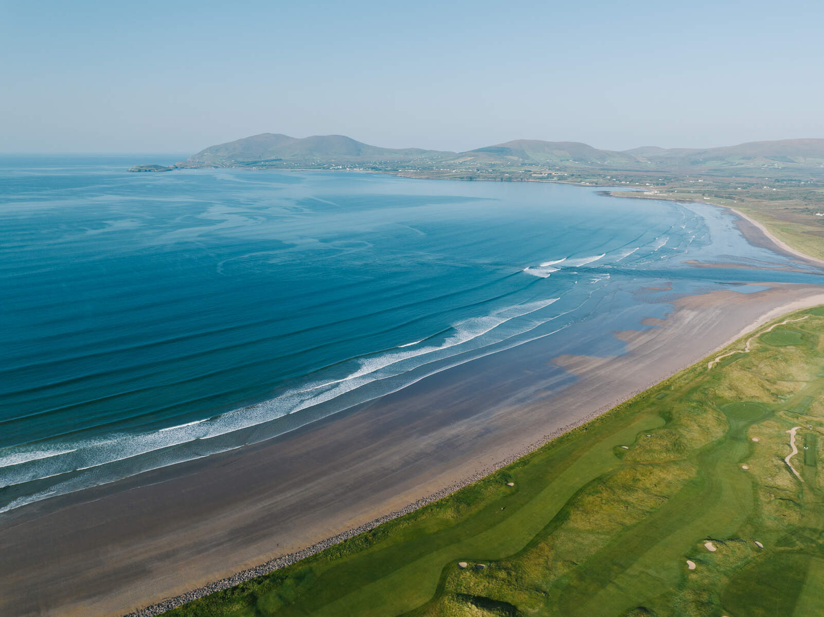
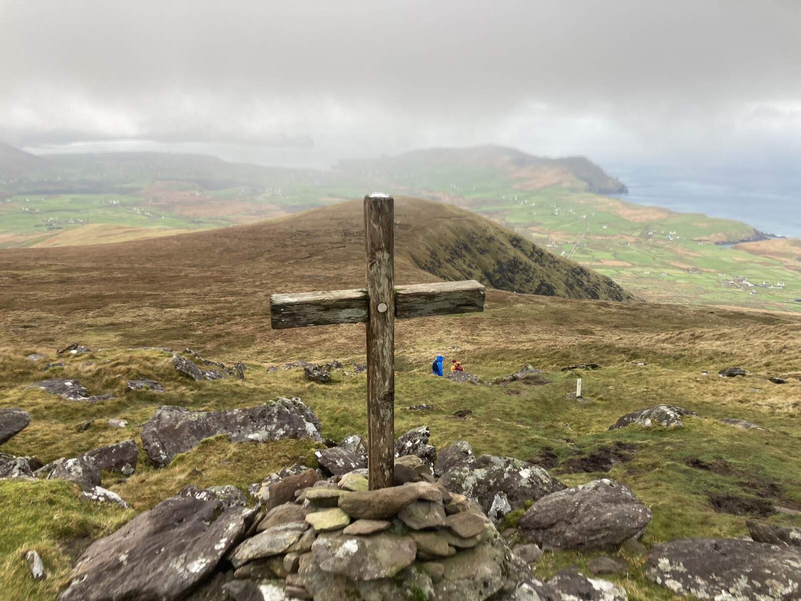
Carraig na Circe sits on the rugged northern flank of Geokaun Mountain, the highest point on Valentia Island in County Kerry. The Irish name Carraig na Circe translates loosely to “rock of the birds”, a fitting description for a spot where seabirds wheel above the Atlantic cliffs. From this modest parking lot you are greeted by a wide‑angle viewing platform that frames the Skellig Islands, the Blasket archipelago, the Dingle Peninsula and the sweeping expanse of the Wild Atlantic Way. The site is the natural gateway to the popular Loop Walk, a 1.5 km circuit that loops around the mountain’s summit and returns to the same viewpoint.
Background
While Carraig na Circe itself does not have a recorded historic event, it forms part of the broader Geokaun Mountain and Fogher Cliffs complex, a landscape steeped in local legend and industrial heritage. The mountain’s summit hosts two historic lookouts – Shepherd’s View and Miner’s View – that once guided shepherds and slate‑miners alike. The area’s slate quarry, opened in 1816, supplied stone for the British House of Commons and the Paris Opera House before closing in the 1880s. Along the pathways that link Carraig na Circe to the summit, more than fifty information plaques narrate the island’s mythology, geology, and the lives of the people who once toiled here.
What to See & Do
- Panoramic Viewpoint – From the Carraig na Circe platform you can spot the Skellig Islands, Bray Head, the Blasket Islands and, on a clear day, even the distant Dingle Peninsula. The vista is especially dramatic when the Atlantic wind lifts the sea‑spray into a fine mist.
- Loop Walk – The 1.5 km loop is well‑signposted and suitable for all ages and abilities. The trail follows a gently graded, paved pathway that is wheelchair‑ and pushchair‑friendly, leading past four distinct viewing spots: Miner’s View, Shepherd’s View, the summit itself, and finally back to Carraig na Circe. The walk takes roughly 45 minutes at a leisurely pace, allowing ample time for photo stops.
- Interpretive Panels – Along the route, fifty large plaques provide insight into Valentia’s social history, local wildlife, and Irish folklore. Highlights include a story about Oscar’s Cast at Fogher Cliffs and a description of the historic slate‑quarry operations.
- Wildlife Spotting – The cliffs are a haven for seabirds; keen observers may glimpse gannets, puffins (in summer) and occasional wild goats that roam the higher slopes.
- Picnic Areas – Sheltered benches are scattered near the parking area, offering a pleasant spot for a packed lunch while you soak in the sea‑breeze.
Seasonal Highlights
- Summer (June‑August) – Puffins and other seabirds are most visible; the higher grasslands are alive with wild goats.
- Autumn – The surrounding heather turns gold, creating striking colour contrasts against the blue Atlantic.
- Winter – While the wind can be brisk, the clear air often yields the most distant views of the Skelligs and Dingle Peninsula.
- All year – Bring a waterproof jacket and warm layers – the summit can be blustery even on mild days.
Nearby Attractions
- Tetrapod Trackway – A short drive north‑east brings you to the world‑renowned 385‑million‑year‑old fossil trackway, the oldest evidence of four‑legged amphibians on land.
- Valentia Transatlantic Cable Station – Located in Knightstown, this museum tells the story of the 1866 telegraph link between Ireland and Newfoundland.
- Valentia Heritage Centre – Housed in a former schoolhouse, it offers exhibitions on island life, marine ecology and the cable history.
- Valentia Slate Quarry – The historic quarry that supplied slate for the British Parliament and the Paris Opera House; guided tours are available.
- Bray Head Walk – A 4 km moderate trail to the historic signal tower with superb Skellig views; suitable for families.
- Glanleam Beach – A secluded sandy beach near the lighthouse, ideal for a quick dip or a quiet stroll.
Practical Information
Carraig na Circe is located on private land, but public access is permitted free of charge. The only cost incurred by visitors is a €6 parking fee that covers all three designated car parks on the mountain road. Parking is available at three levels; the uppermost lot places you within ten feet of the viewpoint, eliminating the need for a long walk back to your vehicle.
| Service | Details |
|---|---|
| Admission | Free (parking €6) |
| Opening hours | Open year‑round; exact daily hours to be confirmed |
| Accessibility | Paved pathway suitable for wheelchairs and pushchairs; viewpoint platform has level access |
| Facilities | Picnic benches, information panels, restroom facilities at lower car park, small café |
| Parking | Three levels; €6 fee payable at ticket booth (displayed on dashboard) |
| Best time to visit | Clear, calm days provide the most expansive views; each season offers a different colour palette |
| Dog policy | Dogs are welcome on the walk but must be kept on a leash |
Getting There
The easiest way to reach Carraig na Circe is by car. Valentia Island is linked to the Irish mainland via a bridge from Portmagee and a short seasonal ferry crossing from Reenard Point near Cahersiveen. From Dublin the drive takes about five hours (≈ 170 km); from Cork and Limerick roughly four hours. Once on the island, follow the signs for Geokaun Mountain; the road climbs past two lower car parks before reaching the upper lot at Carraig na Circe.
Public transport – Bus Éireann route 275 runs from Killarney to Portmagee (seasonal). From Portmagee you can walk or take a local taxi to the mountain road. The ferry from Reenard Point runs several times daily in summer and is a scenic alternative.
Parking & Fees
A simple ticket booth at the first main parking area collects the €6 fee. Display the ticket on your dashboard as you drive up to the higher lots. The fee covers all three parking zones, so you can choose the level that best suits your itinerary – the upper lot is ideal for those who wish to start the Loop Walk immediately.
Accessibility
The 2 km roadway/pathway that leads to the summit is fully paved and graded, making it suitable for pushchairs, wheelchairs and visitors with limited mobility. The viewpoint platform at Carraig na Circe is level and equipped with handrails. While the higher lookouts involve short, gentle inclines, the overall route remains manageable for most visitors.
Nearby Amenities
Restrooms and a small café are available at the lower car park near the entrance to the mountain road. For accommodation, consider staying in nearby Knightstown, Portmagee or Cahersiveen, where a range of B&Bs and hotels are listed on sites such as Booking.com.
Further Exploration
If you have extra time, the surrounding area offers additional attractions: the Fogher Cliffs (a 300‑metre trail ending at a viewing platform), the historic Valentia Slate Quarry, and the Tetrapod Footprints trackway. All are reachable via short drives or additional walking sections from Carraig na Circe.