Overview
Carrauntoohil (also spelled Carrauntoohill or Carrantuohill) is the highest mountain in the Republic of Ireland, reaching 1,039 m (3,409 ft). It sits on the Iveragh Peninsula in County Kerry, forming the central peak of the rugged MacGillycuddy’s Reeks range. The mountain is composed of Old Red Sandstone, a purple‑reddish Devonian rock that was heavily glaciated during the last ice age, creating classic U‑shaped valleys, sharp arêtes and deep corries such as the famed Eagle’s Nest.
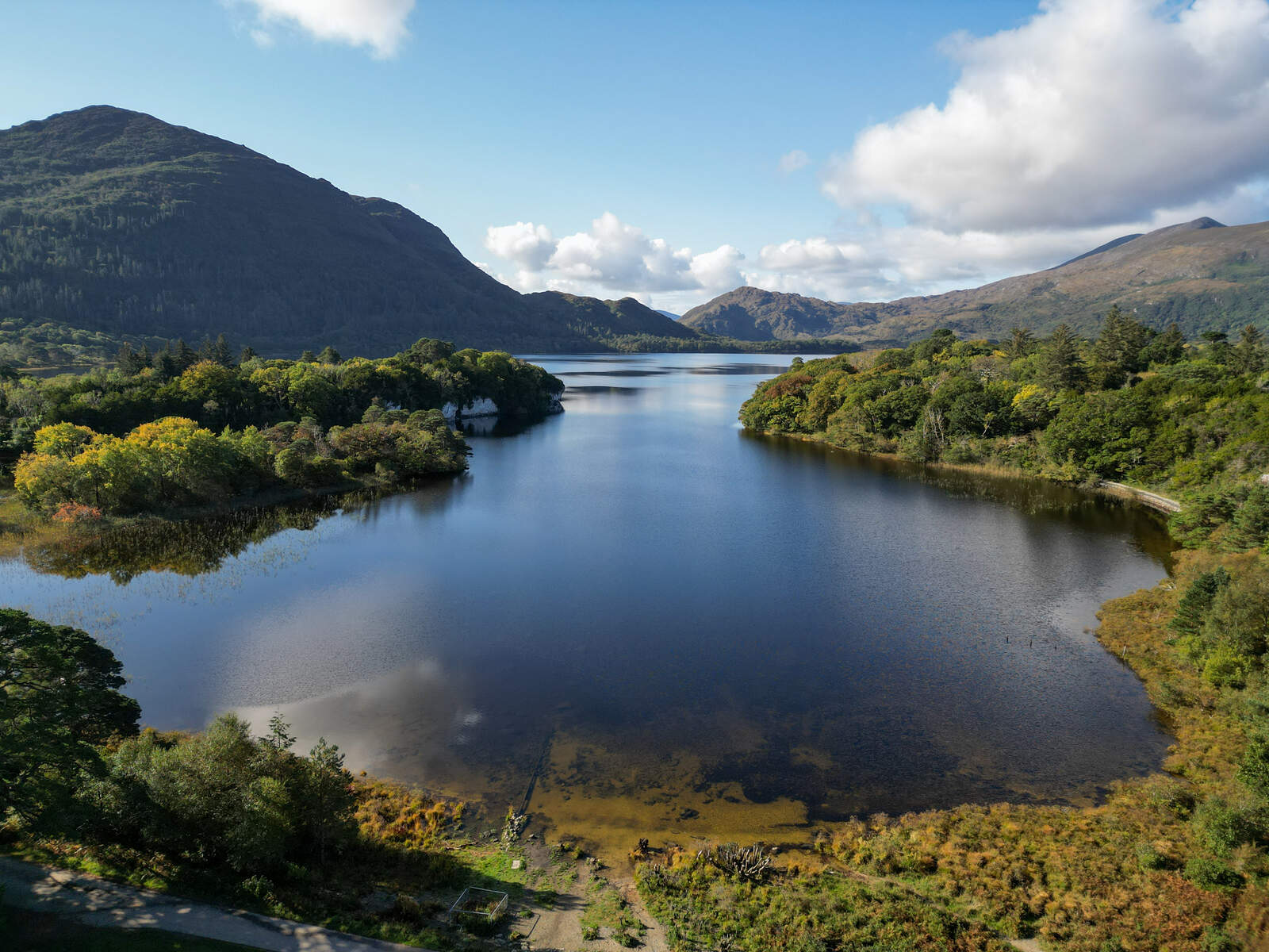
The summit offers a 360° panorama of the surrounding peaks – Beenkeragh, Caher, the Black Valley and the distant Atlantic coastline – making it a bucket‑list objective for hill‑walkers, climbers and anyone seeking a dramatic Irish landscape.
History & Background
The Irish name Carrantuohill is interpreted as “Tuathal’s sickle”, a reference lost in early texts but preserved in modern placename databases. The mountain’s spelling was standardised by Ordnance Survey Ireland and the Placenames Database of Ireland as Carrauntoohil.
Unlike many mountain ranges, the Reeks are privately owned. Four families – the Doonas, the O’Sheas and James Sullivan – hold the freehold, having purchased the land from the Irish Land Commission in the early 20th century. Their owners have traditionally allowed public access, though the increasing visitor numbers (over 125,000 in 2017 and 140,000 in 2018) have raised concerns about erosion and the lack of a national‑park framework.
A wooden cross was erected on the summit in the 1950s, replaced by a steel cross in 1976. The cross was briefly felled in 2014 in a protest but was promptly re‑erected. Because of the steep north‑eastern and eastern faces, the Kerry Mountain Rescue Team (KMRT) has installed danger signs on the summit, especially above the Howling Ridge sector, to warn walkers of exposed terrain.
What to See & Do
Classic ascent – the Devil’s Ladder
The most travelled route starts at Cronin’s Yard (also known as Lisleibane) in the Hag’s Glen. A well‑marked path leads past stepping stones over the Gaddagh River, then climbs the steep, loose Devil’s Ladder to the col at Cnoc na Toinne before the final scramble to the summit. The round‑trip is about 12 km and typically takes 4–6 hours. The route is straightforward but the ladder has become eroded, so walkers should keep a safe distance from other parties and watch for loose stones.
Alternative corridors
- O’Shea’s Gully – branches off the main path before the ladder and follows a gentler gully up to the “first level” of the Eagle’s Nest corrie. It involves a few short scrambles and offers excellent views of the north‑east face.
- Zig Zags (Bóthair na Gige) & The Bone – a well‑marked alternative to the Devil’s Ladder that skirts the eroded section. The Zig Zags lead to The Bone ridge, a narrow arête that connects Carrauntoohil to Beenkeragh. This loop is popular for its clearer footing and dramatic ridge walking.
- Coomloughra Horseshoe – a classic 12‑km ridge walk that circles the Coomloughra valley, taking in Skregmore, Beenkeragh, The Bones, and finally Carrauntoohil before descending via Caher. It is described as one of Ireland’s best ridge walks and typically requires 6–8 hours.
- Stumpa an tSaimh – Beenkeragh ridge – a more demanding 15‑km route that starts at Cronin’s Yard, climbs the Stumpa an tSaimh ridge, traverses the exposed Beenkeragh ridge and reaches the summit via The Bones. This line is suited to experienced scramblers.
Unique features
- Eagle’s Nest corrie – a three‑level bowl on the north‑east face that houses Lough Cummeenoughter, Ireland’s highest lake (707 m). The corrie is accessed via the Heavenly Gates gap and offers striking views of Curved, Central and Brother O’Shea’s gullies.
- The Bones (Na Cnámha) – a sharp arête linking Carrauntoohil to Beenkeragh, famed for its exposure and the dramatic photographs it yields.
- Rock and winter climbing – the east and north‑east faces host a handful of multi‑pitch routes, the most notable being Howling Ridge (V‑Diff). In winter, about seven routes of grade V are marked among the roughly eighty climbing lines on the Reeks.
Practical Information
| Route | Distance (km) | Approx. Time | Difficulty |
|---|---|---|---|
| Devil’s Ladder (Cronin’s Yard) | 12 | 4–6 hrs | Strenuous |
| O’Shea’s Gully (Cronin’s Yard) | 13 | 5–6 hrs | Strenuous |
| Zig Zags & The Bone | 19 | 5 hrs | Strenuous |
| Coomloughra Horseshoe | 12 | 6–8 hrs | Strenuous |
| Stumpa an tSaimh – Beenkeragh | 15 | 5 hrs | Difficult |
Getting there
The most convenient starting point is Cronin’s Yard, a small car‑park with basic facilities (toilets, a tea‑room and a shower) located about 15 km north‑east of Killarney. The park is reachable via the N72 from Killarney; a short turn‑off leads to a gravel road and the parking area. An alternative approach for those wishing to combine Carrauntoohil with Caher is the Lack Road route, which begins near Lough Acoose and follows the Caher Ridge.
Navigation & safety
- The Reeks are not part of a national park; access is granted by the landowners but walkers should stay on marked paths and respect private property.
- The area is prone to rapid weather changes; the KMRT records dozens of rescues each year, many linked to late departures, darkness on the descent, or falling rock on eroded sections.
- Danger signs are posted on the summit and on the Howling Ridge sector. The Heavenly Gates route is unmarked and can be hazardous in poor visibility – it is best attempted only by experienced climbers.
- A map and compass (or a reliable GPS app) are essential; the routes are not sign‑posted beyond the main trailheads.
- No entry fee is charged and the mountain is open year‑round. Parking at Cronin’s Yard is free, though the space can fill quickly in summer.
Guided options
For those unfamiliar with mountain navigation, several local providers offer guided day trips, including Kerry Climbing and The Lodge and Reeks Guiding Company. Guided walks typically include transport from Killarney, a briefing on route choice, and a knowledgeable leader who can point out the geological and mythological highlights.
Summary
Carrauntoohil is more than a high point on a map; it is a living laboratory of geology, a showcase of dramatic glacial landforms, and a hub for some of Ireland’s most rewarding mountain experiences. Whether you choose the well‑trodden Devil’s Ladder, the quieter O’Shea’s Gully, or the ambitious Coomloughra Horseshoe, the summit rewards you with unrivalled views of the Reeks and the surrounding Kerry countryside. Plan carefully, respect the private landowners, and enjoy one of Ireland’s most iconic outdoor adventures.