Overview
An Chonair, better known as Conor Pass, sits at 1,496 ft (410 m) above sea level on the R560 road that cuts across the Dingle Peninsula in County Kerry. It is the highest asphalted mountain pass in the Republic of Ireland and forms a spectacular segment of the Wild Atlantic Way. The road winds for about 12 km between the town of Dingle in the south and Kilmore Cross in the north, climbing steeply through a glaciated landscape of sharp cliff faces, corrie lakes and sweeping valleys.
The pass is famed for its dramatic vistas – on a clear day you can see as far north as the Aran Islands off County Galway, the Skellig Rocks to the south, and the Iveragh Peninsula across Dingle Bay. It is a favourite for drivers, cyclists and walkers alike, offering a blend of natural beauty and a touch of adrenaline on the narrow, one‑lane sections.
History & Background
The name An Chonair translates from Irish as “the way or path”. Historically the route linked the fishing community of Dingle with the settlements along the north‑east coast, providing a vital crossing of the Brandon Mountains. Today the pass is part of the Dingle Peninsula Drive, a popular scenic loop that showcases the rugged Atlantic coastline and the interior mountain scenery.
What to See & Do
Driving the Pass
The road is a single‑lane asphalted stretch with several lay‑bys for on‑coming traffic. Vehicles over 2 tonnes are prohibited – this includes coaches, caravans, camper‑vans and trucks – to prevent difficulties in passing. The most dramatic 1.5 km of the route takes roughly 40 seconds to negotiate, but drivers should be prepared for tight bends, steep gradients and occasional mist.
Two main car parks serve visitors:
- Summit car park – at the highest point, offering panoramic views north to Kerry Head and Loop Head, and south across Dingle Bay to the Iveragh Peninsula and Skellig Rocks.
- Pedlar’s Lake (Lough Doon) car park – on the north side, beside a small waterfall. A short, rocky path leads up to the corrie lake, where you can study glacially striated rock lips and moraines.
Walking & Hiking
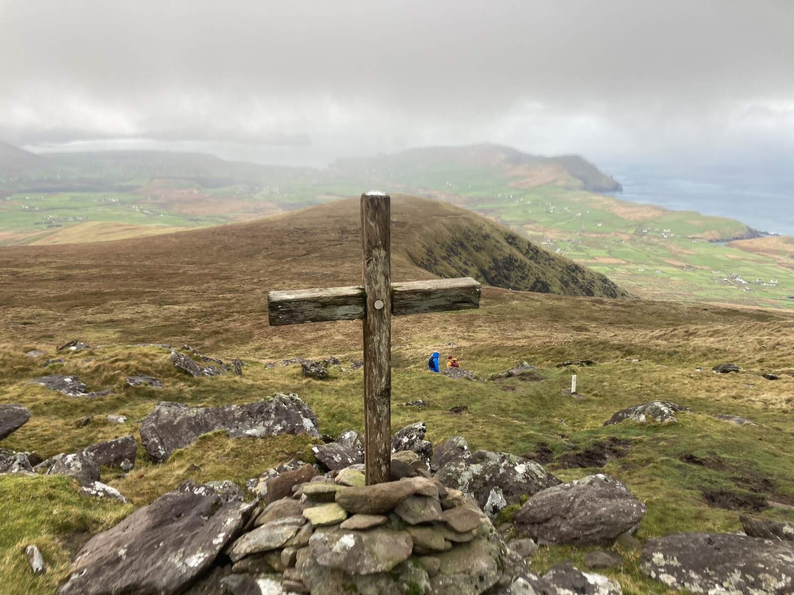
The area around Conor Pass is a hub for moderate to challenging hikes. Popular routes include:
| Route | Distance | Approx. Time | Main Highlights |
|---|---|---|---|
| Houlihans Bean & Croaghskearda Loop | 10 km | 4 h | Summits of Houlihans Bean (670 m) and Croaghskearda (608 m), expansive views of Dingle Bay and the Aran Islands |
| Croaghskearda Loop | 7 km | 3.5 h | Single summit of Croaghskearda, less than 200 m ascent, spectacular glaciated scenery |
| Old Green Road to Dingle | 15 km | 4 h | Rural trail that joins the Dingle Way near town, passes the pass’s dramatic cliffs |
| Cloghane to Conor Pass | 16 km | 5 h | Long ridge walk from the coastal village of Cloghane, culminating at the summit car park |
All walks start from the Conor Pass car park (410 m) and are well‑marked on the ActiveME app and printed maps. The terrain is generally moderate, with the steepest sections occurring near the summit. On a good day the vistas extend to the Aran Islands and the mountains of Connemara.
Other Attractions
- Conor Pass Waterfall – a modest cascade that becomes a torrent after heavy rain, visible from the north‑side car park.
- Lough Doon (Pedlar’s Lake) – a glacial corrie lake offering a classic alpine setting.
- Views of Brandon Bay, Tralee Bay and Dingle Bay – each direction presents a different seascape, from the rugged cliffs of Brandon to the gentle curve of Dingle Bay.
Practical Information
Getting There
Conor Pass is a 10‑minute drive from Dingle town and a similar distance from the Kilmore Cross junction. The R560 is well sign‑posted; the official Dingle Peninsula guide provides a downloadable PDF driving guide (Driving Guide to Dingle Peninsula PDF).
Parking
- Summit car park – free, with a small viewing platform.
- Pedlar’s Lake car park – free, includes a short path to the lake and waterfall.
Vehicle Restrictions
| Restriction | Details |
|---|---|
| Weight limit | Max 2 tonnes – coaches, caravans, camper‑vans and trucks are not permitted. |
| Length | Very narrow sections; two cars cannot pass simultaneously. |
| Seasonal advice | The road can be wet and misty; use fog lights in poor visibility. |
Cycling & Motorcycling
The pass is a celebrated climb for cyclists, ranking among Ireland’s toughest ascents. Motorcyclists should respect the same weight and width limits and ride cautiously on the tight bends.
Walking Essentials
All walking routes begin at the summit car park (410 m). The ActiveME app supplies GPS‑tracked routes, downloadable maps and safety checklists. While the walks are moderate, the terrain can be rocky near the lake and waterfall, so sturdy footwear is advisable.
Nearby Amenities
- Duinin House B&B – a family‑run accommodation just 1.2 km from the summit, offering free parking and a conservatory breakfast with views of Dingle town. Phone: +353 669 151 335. Website: duininhouse.com.
- Dingle town – a short drive away for restaurants, pubs and additional attractions such as the Gallarus Oratory and the Blasket Islands ferry.
Weather & Visibility
The summit is a few degrees cooler than sea level. In fog or heavy rain the road can disappear into clouds, creating a dramatic but safe experience for confident drivers. Clear days reward visitors with long‑range views to the Aran Islands and Connemara.
Further Reading & Resources
- Wikipedia entry – Conor Pass
- The Irish Road Trip guide – Conor Pass Dingle
- Official Dingle Peninsula page – Conor Pass
- Discover Ireland – Visit An Chonair
Whether you choose to drive the winding road, cycle the ascent, or set out on one of the surrounding hikes, Conor Pass delivers a quintessential Irish mountain experience – dramatic scenery, a touch of adventure, and unforgettable panoramas of the Wild Atlantic Way.