Overview
Corranabinnia (Irish: Coire na Binne, “hollow of the peak”) rises to 716 m (2,349 ft) in the Nephin Beg Range of County Mayo. It is the second‑highest summit in the range and the 102nd‑highest in Ireland. The peak sits at grid reference F90307 03167 (53.966218 N, ‑9.6722128 W) and lies within Ireland’s first designated wilderness area – the Nephin Beg Wilderness – largely covered by the 4,843‑hectare Nephin Forest managed by Coillte.
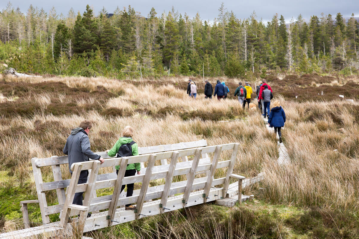
The landscape is stark and wild: steep spurs, deep corries and a series of glens cascade down its flanks. To the east the Bengorm spur juts out, while the western side drops toward Corranabinnia Lough. Northward the terrain opens into Corryloughaphuill, eastward into Glennamong, southeast toward Glendahurk, and southwest into Glenthomas.
History & Background
The mountain is recorded under several names. The Irish name Coire na Binne describes the bowl‑shaped corrie on its northern side. An English variant, Cushcamcarragh, derives from the Irish Coiscéim Charrach meaning “rocky step”. This name appears on Bald’s 1830 map of Mayo and on later atlases. Modern hill‑walking guides, however, usually use Corranabinnia, a name that first surfaced on walking maps rather than on the OSI Discovery series, where the summit is left unnamed.
Geologically the summit is composed of psammitic schists and quartzites belonging to the Anaffrin Formation, giving the ridge its rugged character. The peak is listed as a Hewitt, Marilyn, Arderin and Vandeleur‑Lynam and features in the Irish Arderins, Irish Highest Hundred and Irish Best Hundred challenges.
Activities
The Glendahurk Horseshoe
The classic Glendahurk Horseshoe (often called the Glendahurk Horseshoe Loop) is a 15‑km circuit that takes in the Bengorm spur, the south‑west summit (≈ 681 m) and the main summit. The ridge is narrow with steep drop‑offs, demanding sure‑footedness and a head for exposure. In dry conditions the arête is manageable, but frost or rain can make the rock dangerously slick.
Alternative Circuits
- Corranabinnia – Ben Gorm Horseshoe – a 20‑km loop that adds Ben Gorm (582 m) and the Glennamong ridge, often completed in 8 hours. This route is popular among members of the MountainViews community. (Ben Gorm)
- Glendahurk Bridge Loop – 19 km, about 9–10 hours, starting from the modest car park at Glendahurk Bridge (grid L91061 97962). The loop follows the broad ridge to the south‑west top, tackles the arête, reaches the main summit and descends via the Glennamong ridge.
- Boggy Southern Approach – beginning at the SraDug grid reference (F86600 07169) near old farmsteads, this longer route crosses extensive bog before climbing the south‑west summit and joining the ridge.
- Traenlur YH Variant – accessed via the ford at Gl’ Mong Bridge (F947 024), this version avoids the main car park and offers a quieter start.
Summits on the Air (SOTA)
Corranabinnia is a recognised SOTA summit (EI/IW‑008) with a rating of 10 points. Amateur radio operators frequently activate the peak, as documented on 20 July 2024 when EI3KA/P made 23 contacts from the summit. The trig pillar at grid F90331 provides an ideal antenna site. Details are available on the SOTA database.
Guides & Resources
- MountainViews – a comprehensive database of Irish summits, including user reports, GPS logs and route suggestions for Corranabinnia: https://mountainviews.ie/summit/98/
- Ordnance Survey Discovery Maps – sheets 30 and 31 cover the area; the larger‑scale Wild Nephin map from East West Mapping is also recommended.
- Local walking guides – see Whilde & Simms, New Irish Walk Guide – West and North (pages 72‑73) for detailed route descriptions.
Practical Information
- Access & Parking – The most common start is the small car park beside Glendahurk Bridge (sometimes labelled “Carheenbrack”). It accommodates roughly two vehicles and can fill quickly in summer, so early arrival is advisable. No seasonal parking restrictions are currently published.
- Public Transport – The nearest bus stop is in Newport, served by Bus Éireann routes 440 and 450. From Newport a local taxi can reach the bridge (≈ 5 km). Check current timetables before travelling.
- Navigation – Use the Irish OS Discovery Map 30 (or the larger‑scale Wild Nephin map from East West Mapping). Grid references for key points: Glendahurk Bridge L91061 97962, south‑west summit F90307 03167, main summit trig pillar F90331.
- Weather – The area is exposed to Atlantic weather; conditions can change rapidly. Check the Met Éireann forecast for Corranabinnia before setting out and be prepared for rain, wind and low temperatures, even in summer.
- Safety – Carry a fully charged phone, map, compass and waterproof clothing. The ridge sections are rocky and can be loose; many walkers stay on the eastern side of the arête to avoid the most exposed bits. In an emergency call 999/112.
- Dog Friendly – Dogs are allowed on the routes but must be kept on a leash in the wilderness area to protect wildlife and avoid disturbing other walkers.
- Facilities – No toilets or water sources on the mountain. Bring sufficient water and a packed lunch. The nearest amenities are in Newport and Westport.
Route Summary
| Route | Distance | Elevation Gain | Approx. Time | Highlights |
|---|---|---|---|---|
| Glendahurk Horseshoe | 15 km | ~2,800 m | 6–7 hr | Bengorm spur, arête, 360° summit views |
| Corranabinnia – Ben Gorm Loop | 20 km | ~3,000 m | 8 hr | Ben Gorm, Glennamong ridge |
| Glendahurk Bridge Loop | 19 km | ~3,300 m | 9–10 hr | South‑west top, arête, Glennamong descent |
| Boggy Southern Approach | 17 km | ~3,200 m | 7 hr | Remote bogland, quiet start |
Nearby Attractions
After descending, the drive back along the N50 offers easy detours to Furnace Lough and the Nephin Forest for a gentle woodland walk. The coastal town of Newport provides accommodation, cafés and a harbour. For a broader wilderness experience, consider a visit to Ballycroy National Park and the nearby Ballycroy Village, both within the same Nephin Beg landscape.
Corranabinnia delivers a blend of rugged mountain adventure and sweeping coastal scenery, making it a rewarding day‑trip for experienced hikers, amateur radio enthusiasts and anyone seeking the wild heart of Mayo.