Overview
The Dingle Way is one of Ireland’s most popular long‑distance walking routes. It forms a 179 km (112 mi) circular trail that begins and ends in the bustling town of Tralee and circles the entire Dingle Peninsula in County Kerry. The trail is way‑marked with the distinctive yellow arrow on a black background, making navigation straightforward for most walkers.
Typical hikers complete the circuit in 8‑9 days, covering an average of 20‑22 km per day. The route is graded strenuous overall, but the majority of the trail is easy to moderate, with the only significant climb being the saddle between Mount Brandon and Masatiompan (≈ 660 m). The aggregate ascent is about 2 590 m (≈ 9 500 ft) – a respectable challenge but far less demanding than the Kerry Way.
The trail is open year‑round, but the March‑to‑October window offers the longest daylight hours and the most favourable weather for walking. The Dingle Way is free to walk; there is no entrance fee, and the waymarks are maintained by the Dingle Way Committee in partnership with Kerry County Council.
History
The Dingle Way was officially designated a National Waymarked Trail by the National Trails Office of the Irish Sports Council. Management responsibilities rest with the Dingle Way Committee and Kerry County Council. A section linking St John’s Roman Catholic Church in Tralee to St James Church of Ireland in Dingle is known locally as the Kerry Camino.
Archaeologically, the peninsula is a treasure trove: walkers encounter standing stones, Ogham stones (Ireland’s highest concentration, about 60 on the peninsula), and beehive huts (clocháns) dating back to the 6th century. These relics testify to a continuous human presence from early Christian times through the medieval period.
What to See & Do
The Dingle Way passes a wealth of natural and cultural highlights. Below are the most‑visited points of interest, grouped by theme.
| Category | Highlights | Details |
|---|---|---|
| Coastal scenery | Inch Beach, Ventry Beach, Slea Head, Dunquin Pier | Inch Beach (3 mi of golden sand) featured in Ryan’s Daughter; Slea Head marks Ireland’s westernmost point with sweeping Atlantic views; Dunquin Pier offers dramatic cliffside photos and ferry access to the Blasket Islands. |
| Historic sites | Blennerville Windmill, South Pole Inn, Great Blasket Visitor Centre, Gallarus Oratory, Minard Castle | Blennerville Windmill is Ireland’s largest working windmill; South Pole Inn celebrates Antarctic explorer Tom Crean; Gallarus Oratory (7‑12th century dry‑stone church) is a must‑see architectural gem. |
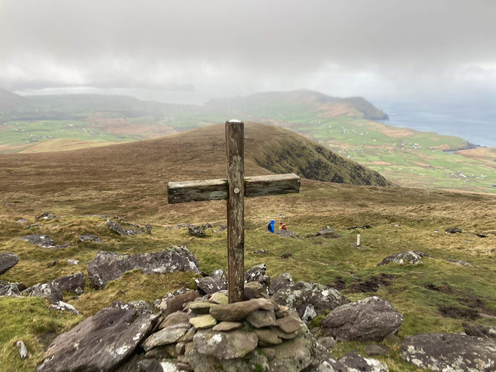
| Mountain vistas | Mount Brandon, Masatiompan saddle, Slieve Mish foothills | The highest point on any Irish National Waymarked Trail (≈ 660 m) offers panoramic views of the Atlantic, the Blasket Islands and the surrounding mountains. |
| Wildlife | Red deer, mountain goats, dolphins, seals, puffins, Natterjack toad | Marine life is abundant along the coast; the Maharees and Blasket Islands are prime bird‑watching spots. |
| Cultural hubs | Dingle Town, Annascaul, Castlegregory | Dingle is famed for its lively traditional music sessions, colourful harbour and fresh seafood; Annascaul hosts the historic South Pole Inn; Castlegregory provides access to Fermoyle Strand, Ireland’s longest beach. |

Sample Daily Distances (Hillwalk Tours grading)
- Gentle: 16‑18 km per day, 4‑6 hrs walking
- Moderate: 20‑23 km per day, 5‑7 hrs walking
These figures help you plan a pace that matches your fitness level.
Practical Information
| Item | Details |
|---|---|
| Length | 179 km (112 mi) – some sources list 162 km; the official Dingle Way website uses 179 km. |
| Typical duration | 8‑9 days (full circuit) |
| Highest point | Masatiompan saddle, ~660 m (Mount Brandon shoulder) |
| Total ascent | ~2 590 m |
| Waymark | Yellow arrow on black background, visible at road‑trail junctions |
| Dogs | Not allowed on the trail (per Discover Ireland) |
| Season | Best March‑Oct; winter can bring ice, snow and very short daylight |
| Accommodation | B&Bs, guesthouses, hotels, hostels, campsites (e.g., Camp, Inch Beach, Castlegregory) and glamping pods. Booking ahead is advised, especially July‑August. |
| Transport | Airports – Dublin, Shannon, Kerry (near Tralee), Cork. Trains – Dublin Heuston → Tralee, Cork → Mallow → Tralee. Buses – regular services to Tralee; local bus routes connect many villages. Car hire is common for flexible access to trailheads. |
| Start/Finish point | Town Park Gate, west side of Ashe Hall, Tralee (see Dingle Way map) |
| Website | https://www.dingleway.com/ |
| Admission | Free |
| Accessibility | Trail includes rugged mountain tracks, cliff paths and beach walks; not suitable for wheelchairs or those requiring fully paved routes. |
Getting to the Trailhead
Tralee is the main gateway. From Dublin you can fly into Kerry Airport (20 km from Tralee) or take the train to Tralee. Once in Tralee, the trailhead is located in Tralee Town Park, opposite the Ashe Hall entrance. Signage for the Dingle Way is clearly posted at the gate.
Stages at a Glance (based on the official route)
- Tralee → Camp – 18 km, gentle coastal tow‑path and low hills.
- Camp → Annascaul – 17 km, includes Inch Beach and the historic South Pole Inn.
- Annascaul → Dingle – 22 km, passes Minard Castle and climbs gently towards Dingle town.
- Dingle → Dunquin – 20 km, coastal walk via Ventry, Slea Head and dramatic cliffs.
- Dunquin → Feothanach – 20 km, includes Louis Mulcahy Pottery and views of Mount Brandon.
- Feothanach → Cloghane – 15‑22 km (choice of northern or southern route), crosses the Masatiompan saddle – the highest point.
- Cloghane → Castlegregory – 26 km, features Fermoyle Strand, Ireland’s longest beach.
- Castlegregory → Tralee – 28 km, returns via Tralee Bay and the Tralee Ship Canal tow‑path.
Accommodation & Services
Along the route you will find a range of lodging options:
- Hotels & Guesthouses in Tralee, Dingle, Dunquin and Annascaul.
- Bed & Breakfasts offering hearty Irish breakfasts and local advice.
- Hostels for budget travellers, with communal kitchens.
- Camping at designated sites such as Camp, Inch Beach and Castlegregory (wild camping is discouraged and illegal on some beaches).
- Glamping pods and yurts for a comfortable outdoor experience.
All villages provide shops, grocery stores, ATMs and a lively pub scene where you can enjoy traditional music sessions.
Safety & Etiquette
The Dingle Way is well‑signposted, but sections that follow quiet roads require vigilance for traffic. The trail is maintained under the Leave No Trace principles; carry out all litter and respect wildlife – especially the protected Natterjack toad and nesting seabirds.
Useful Links
- Official trail map & waymark info: Dingle Way
- Detailed stage guides (Hillwalk Tours): Gentle 8‑Day Itinerary
- Ordnance Survey maps (Discovery Series 70 & 71): OS Maps
- Blasket Islands Visitor Centre: Blasket Centre
Whether you choose a self‑guided walk, a guided tour, or a leisurely segment‑by‑segment adventure, the Dingle Way delivers a compelling mix of spectacular scenery, rich heritage, and warm Irish hospitality that makes it a must‑walk for anyone exploring the southwest of Ireland.