Overview
Dirtane is a modest yet captivating townland situated in the Electoral Division of Ballyheige, within the historic Barony of Clanmaurice in County Kerry, Ireland. At coordinates 52° 24′ 2″ N, 9° 49′ 48″ W (approximately 52.401 N, ‑9.830 W), the area sits amid rolling green fields and patchwork farms that epitomise the Irish countryside. Though small – ranking as the 26,488th largest townland nationwide and the 1,531st in Kerry – Dirtane’s charm lies in its unspoiled landscape and the sense of timelessness that pervades the region.
The townland is listed on the official Irish placename database, Logainm.ie, confirming its cultural significance. It was added to OpenStreetMap on 4 June 2016 by contributor Teester, ensuring that modern map‑readers can locate its boundaries with ease.
History & Background
While detailed historical records specific to Dirtane are scarce, its placement within the ancient barony of Clanmaurice ties it to a broader narrative of Gaelic settlement and Norman influence that shaped Kerry’s hinterland. The civil parish of Ballyheige, to which Dirtane belongs, has long been a hub for agricultural activity, and the townland’s name – derived from the Irish Dirtín – hints at a landscape once dominated by oak groves or perhaps a small fortified settlement (“dirt” meaning oak).
Genealogical enthusiasts can explore census returns and land records through the townland’s entry on the Townlands.ie portal, which often links to the National Archives for deeper family‑history research.
What to See & Do
Walking Trails
Dirtane may not boast grand monuments, but its surrounding countryside offers several pleasant walking routes that showcase the region’s natural beauty. The most popular trail, Ballyheigue East, starts near Dirtane and stretches 1.91 mi (≈3.07 km) with an elevation gain of 115 ft. Described by local walkers as a “nice nature walk for the kids,” the trail winds through open fields, hedgerows, and occasional woodland patches, providing ample opportunities for spotting native birds and wildflowers.
| Trail | Distance | Elevation Gain | Rating | Highlights |
|---|---|---|---|---|
| Ballyheigue East | 1.91 mi (3.07 km) | 115 ft (35 m) | 3.67 / 5 | Gentle hills, family‑friendly terrain, panoramic views of the surrounding townlands |
The trail is maintained by local volunteers and is freely accessible year‑round. Its modest length makes it suitable for families with children, casual walkers, and anyone looking to stretch their legs after a drive through Kerry’s scenic routes.
Landscape & Photo Opportunities
Because Dirtane sits amid a patchwork of fields bordered by neighboring townlands, it offers photographers a classic Irish tableau: low stone walls, grazing livestock, and the occasional thatched cottage peeking through the greenery. Early morning light casts a golden hue over the fields, while the soft mist that rolls in from the Atlantic can create a dramatic backdrop for landscape shots.
Photography tip: head to the western edge of the townland at sunrise for the best light on the stone walls; a low tripod helps capture the mist‑filled valleys.
Cultural Exploration
Visitors interested in Irish place‑names can delve into the meaning of Dirtane on Logainm.ie, which provides linguistic context and historical references. While there are no recorded subtownlands within Dirtane, the surrounding area is dotted with ancient ring forts and stone circles that can be explored on foot, adding a layer of archaeological intrigue to a simple countryside stroll.
Cycling & Greenways
Kerry’s expanding network of greenways and quiet rural roads makes the area around Dirtane attractive to cyclists. The Kingdom of Kerry Greenways project repurposes former railway lines into traffic‑free routes; the nearest segment runs south of Ballyheigue, offering a flat, scenic ride along the coast and through farmland. Cyclists can also join the South Kerry Trail that links Tralee to the Dingle Peninsula, passing close to Dirtane’s western boundary. Bike hire is available in Ballyheigue and Ballybunion, and many local B&Bs provide e‑bike rentals for day trips.
Nearby Attractions & Day Trips
- Ballyheigue – a coastal village just a few minutes’ drive away, offering a sandy beach, a harbour, and a selection of pubs and cafés.
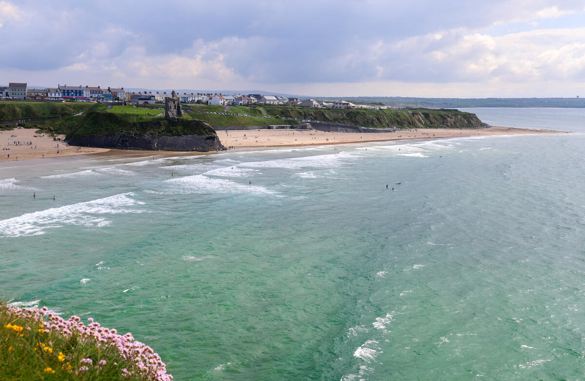
- Ballybunnion Beach – a short walk north of Ballyheigue, ideal for a quick dip or a seaside picnic (see image above).
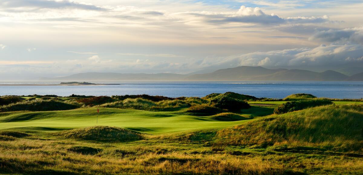
- Ballybunion – a historic seaside town with a medieval castle and a renowned golf course, reachable within a 30‑minute drive.
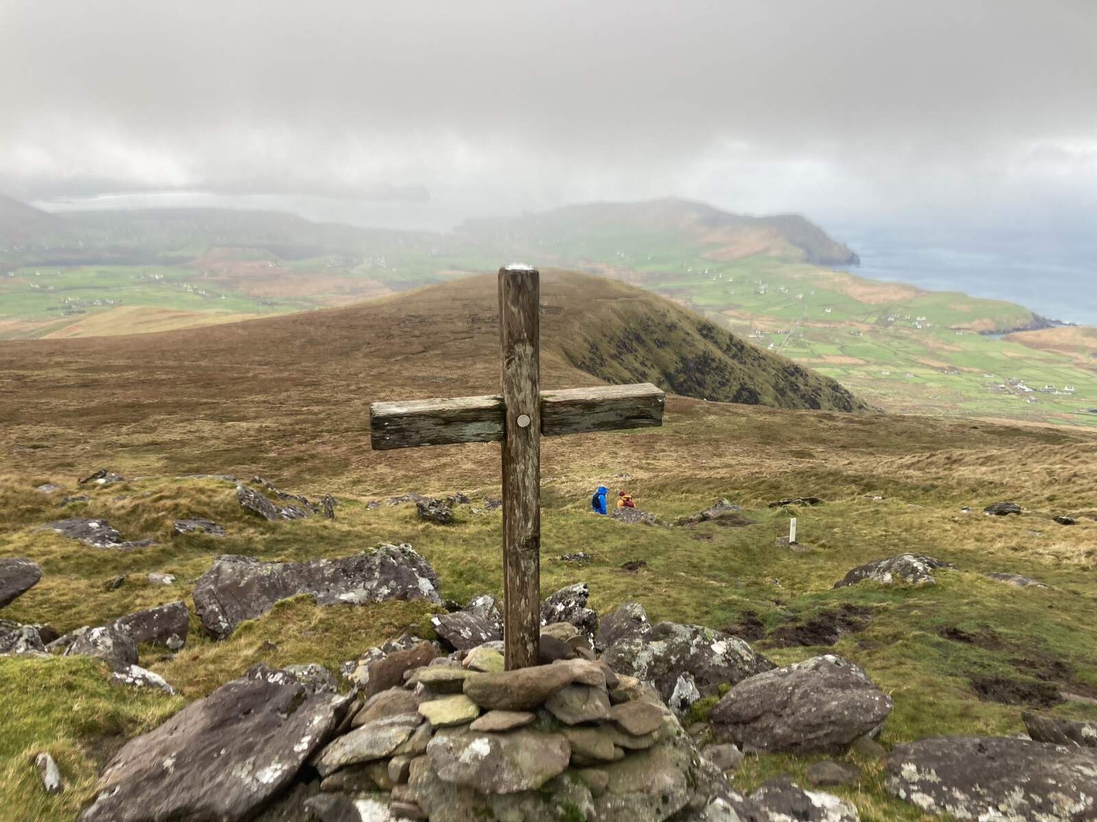
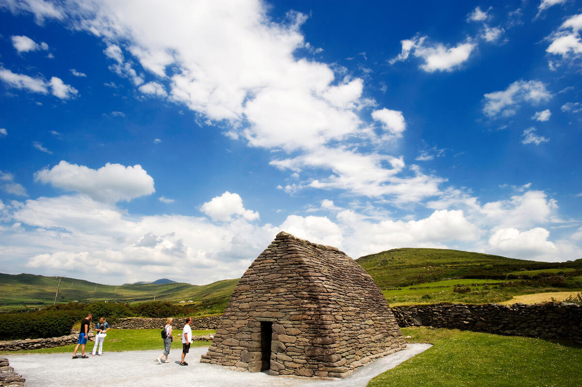
- Dingle Peninsula – for those with extra time, the iconic peninsula lies about an hour’s drive west and provides dramatic cliffs, traditional music venues, and the famous Gallarus Oratory.
- Derrynane House and National Park – a short 20‑minute drive south, this National Monument offers gardens, coastal walks and the former home of Daniel O’Connell.
- Gap of Dunloe – a spectacular mountain pass on the Ring of Kerry, perfect for a scenic drive or guided pony trek.
These spots make Dirtane a convenient base for a relaxed day exploring Kerry’s coastal and inland highlights.
Practical Information
Dirtane is an open, public townland with free entry; there are no ticket fees or formal opening hours.
Parking: lay‑bys are available along the minor roads that bisect the area. Visitors should respect private property signs and use designated pull‑outs where present.
Getting there: the townland is reachable via the R558 regional road, which connects the coastal town of Ballyheigue to inland villages. From Tralee, the county capital, the drive takes roughly 45 minutes. GPS devices and mapping apps will locate Dirtane using its latitude 52.401 N and longitude ‑9.830 W.
Public transport: regular Rural Local Link bus services run through nearby Ballyheigue, the closest stop being about 5 km from Dirtane. Timetables can change seasonally, so visitors should check the Local Link Kerry website or use the Transport for Ireland Journey Planner for up‑to‑date departure information.
Facilities: as a rural area, there are no on‑site visitor centres, cafés, or restrooms. The nearest amenities can be found in Ballyheigue, a short 5‑minute drive away, where you’ll find pubs, a post office, and a small shop.
Seasonal notes: the walking trail remains usable throughout the year. The terrain can become soggy after heavy rain, so sturdy waterproof boots are advisable for spring or autumn hikes.
Dog‑friendly: the open fields and unpaved trails are generally dog‑friendly, provided owners keep pets on a lead near livestock.
Accessibility: the trail’s gentle gradients make it relatively easy for walkers of varying abilities, though the path is unpaved and may present challenges for wheelchair users.
Further reading & maps:
- Detailed geographic data and boundary maps are available on Townlands.ie.
- For a visual overview, consult the OpenStreetMap layer linked through the townland’s page.
Whether you’re tracing family roots, snapping photos of quintessential Irish scenery, or simply enjoying a leisurely walk with the kids, Dirtane offers a peaceful slice of Kerry that feels untouched by the tourist crowds. Its modest size belies a richness of experience that embodies the quiet allure of Ireland’s lesser‑known countryside.
Plan your visit, pack a picnic, and let the gentle rhythm of Dirtane’s fields guide you into the heart of County Kerry.