Overview
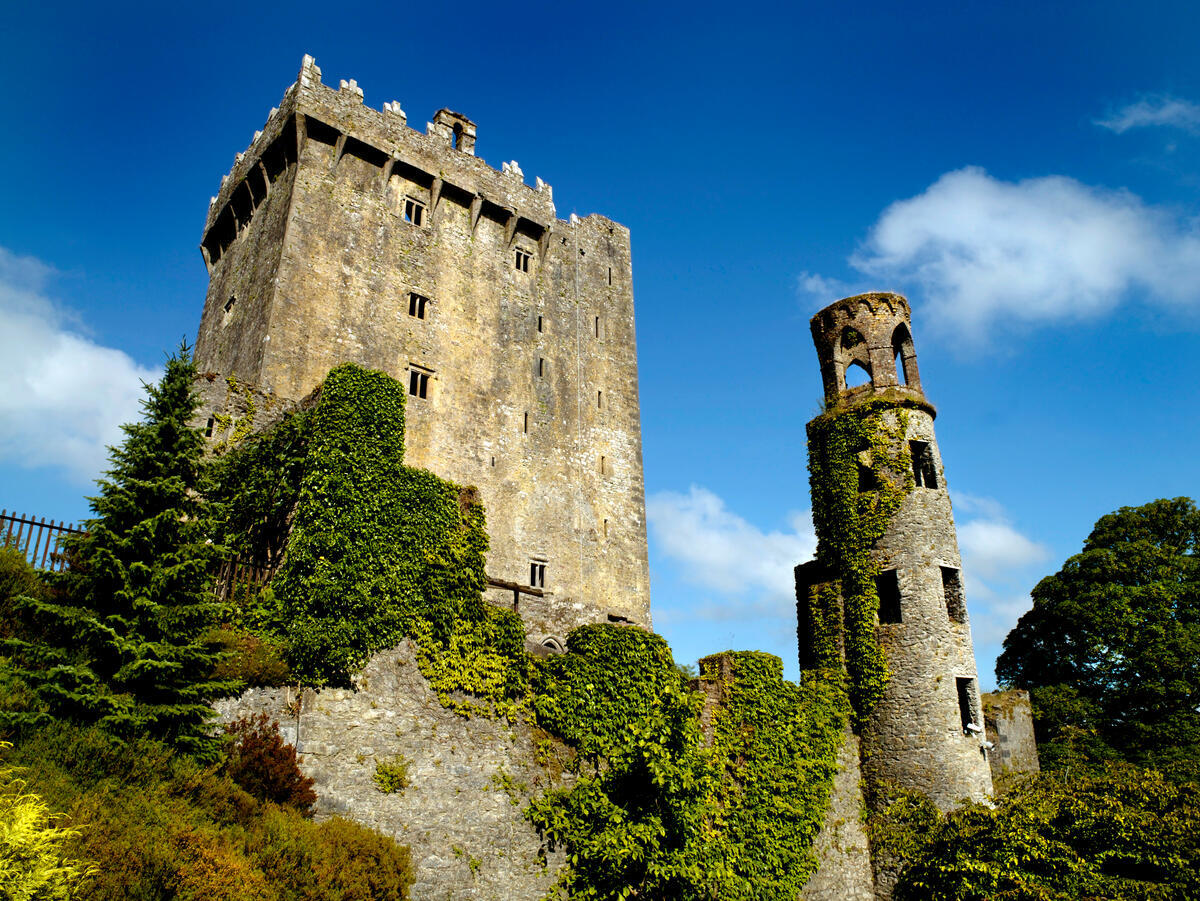
Perched on a sheer rock outcrop six kilometres north of the village of Drimoleague, Castle Donovan (also known as Castledonovan or O’Donovan’s Castle) dominates the valley of the River Ilen. The tower house rises roughly 60 ft (about 18 m) and was originally the principal seat of the O’Donovan clan in the mid‑16th century. Today the ruin is a protected National Monument in the care of the Office of Public Works (OPW) and can be visited free of charge.
Location & Access
The site is sign‑posted from the Dunmanway‑Bantry road just outside Drimoleague. A short, unpaved path leads from a modest roadside parking area up to the castle’s entrance – the path is uneven and includes some rocky steps, so sturdy walking shoes are advisable. There is no formal car‑park; visitors park at the marked lay‑by on the minor road. The nearest towns with public transport links are Dunmanway (about 8 km north) and Bantry (about 12 km south). If you are travelling by bus, the 274 service stops in Drimoleague; from there it is a 10‑minute walk to the castle.
Historical Significance
The O’Donovan (or O’Donnabháin) clan originally settled in Limerick before being displaced in the early 17th century and establishing a seat at Castle Donovan, then known as Sowagh. The tower house was built around 1560 by Domhnall na g‑Croiceann (Donal of the Hides), Lord of Clancahill, to guard the northern border of the clan’s lands. Contemporary accounts describe a typical Irish túrtheach: four storeys high, walls up to six feet thick made from a mixture of lime, sand, gravel, horsehair and animal blood, and a 91‑step spiral staircase in the north‑west corner.
Key features recorded in the 19th‑century surveys include:
- A surrounding bawn and ancillary outbuildings (now vanished).
- Mural chambers cut into the west wall.
- Large mullioned windows on the second and third floors.
- Bartizans at the north‑east and south‑east corners and a machicolation above the main doorway.
- A heavy oak door set within a Gothic limestone arch on the western face.
- The flat‑topped rock Carraig na Mart, traditionally used for slaughtering livestock.
During the Cromwellian campaign of the 1640s, soldiers blew up the tower in retaliation for the O’Donovan involvement in the 1641 rebellion. The explosion created the distinctive gouge still visible in the southwest corner and led to the eventual collapse of the southern wall. The castle changed hands several times, was confiscated in 1654 and granted to Lieutenant Nathaniel Evanson. It remained a ruin until the OPW began a major stabilisation programme in 2001.
Conservation & Recent Work
From 2001 to 2014 the OPW carried out extensive conservation work, stabilising the remaining walls, securing the spiral staircase and installing information panels. The project, costing roughly €1.6 million, was supported by local community groups and the national heritage budget. The work has made the site safe for self‑guided visits while preserving its historic fabric.
What to See & Do
- Spiral Staircase – The 91‑step stone staircase winds through all four floors and is still safe to climb, offering a tactile sense of medieval vertical movement.
- Bartizans & Machicolation – Over‑hanging turrets and the defensive opening above the doorway illustrate the tower’s fortified character.
- Windows & Fireplaces – Square‑headed windows and fireplaces on multiple levels hint at the domestic life of the O’Donovan garrison.
- Panoramic Views – From the parapet you can gaze down the River Ilen and across the surrounding valley.
- Archaeological Insights – Excavations (2002‑2008) uncovered evidence of the 1640s explosion and earlier occupation layers; information boards summarise these findings.
- Photographic Opportunities – The dramatic rock outcrop and the remaining stonework make for striking photos, especially in the soft light of early morning or late afternoon.
Visiting Tips
- Opening hours – Open year‑round; no fixed opening times, but the site is best visited in daylight.
- Admission – Free.
- Facilities – None on site; bring water, snacks and a wind‑proof jacket.
- Accessibility – The uneven path and steep steps make the site unsuitable for wheelchair users.
- Safety – Stay on the marked trail and avoid the collapsed southwest wall.
- Dog‑friendly – Dogs are allowed on a leash, but they must be kept away from the fragile masonry.
- Photography – No restrictions, but be respectful of other visitors.
Nearby Attractions
If you have time for a wider West Cork day‑trip, consider visiting:
- Ballincollig Castle – A Norman ruin overlooking the Maglin Valley, about 70 km east of Castle Donovan.
- The coastal villages of Dunmanway and Bantry, both offering cafés, craft shops and scenic harbour walks.
- The Sheep’s Head Peninsula for dramatic cliffs and sea‑stack views.
Practical Information
Castle Donovan is an unguided site; visitors explore at their own pace. The OPW stresses a “level of care and caution” throughout the visit, as the ruin’s masonry can be uneven and some sections are fragile. The monument is open year‑round and there is no admission fee. Parking is available on the minor road that leads to the castle’s footpath, though no formal car‑park facilities are provided.
Visiting Details
| Item | Information |
|---|---|
| Access | Unguided, self‑guided walk from the roadside parking area |
| Opening | Open all year; no specific hours listed |
| Admission | Free |
| Facilities | None on site – bring water and be prepared for a rugged walk |
| Safety | Stay on marked paths; avoid the collapsed southwest wall |
| Website | Heritage Ireland – Castledonovan Castle |
Because the castle sits on a rocky outcrop, the approach involves a short, uneven path. The site is suitable for visitors comfortable with basic outdoor footing, and it offers a rewarding glimpse into the turbulent history of Gaelic Ireland and the tower‑house tradition.
Coordinates: 51.692145, -9.2827815