Overview
Gort River is the lifeblood of the town of Gort in south‑west County Galway. The river is famous for its karst behaviour – it vanishes underground several times before resurfacing near Galway Bay. In October 2022 the community opened the Gort River Walk, a 3 km (1.9 mi) loop that follows the river’s east bank, links historic sites and provides a gentle riverside experience for walkers, cyclists and families.
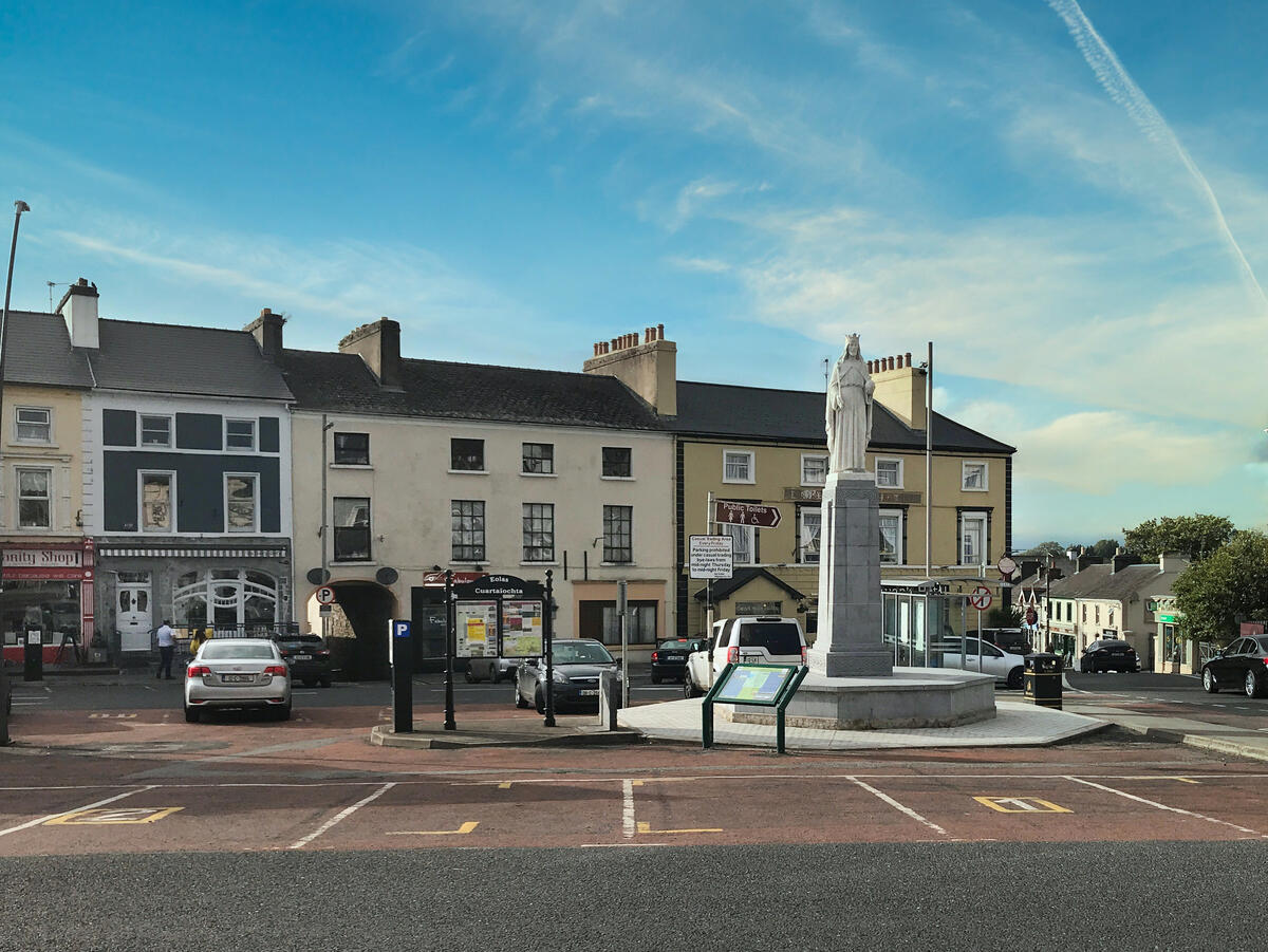
The walk starts at the rear car‑park of the Aldi supermarket on Bridge Street, follows a newly‑installed footbridge, skirts the old mill site, passes a rediscovered holy well and finishes back where it began. The route is graded Easy and takes roughly 45 minutes at a relaxed pace.
History & Background
The name Gort derives from the Irish Gort Inse Guaire – “field of Guaire’s island”. King Guaire Aidne mac Colmáin (7th century) is said to have kept a royal residence on a small island in the river and to have built the nearby Dunguaire Castle. The river’s name therefore carries a royal legacy that is still visible in local landmarks such as Bridge House (c. 1770), the former residence of Lord Gort, and the 1806 four‑storey flour mill whose wooden wheel powered the town until 1966.
Geologically, the Gort River runs through a low‑land karst system built on Carboniferous limestone. Water drains both on the surface and through a network of swallow holes and resurgences – the most dramatic being the Punchbowl (a circular collapse doline) and the Cannahowna Spring where the river re‑emerges after a kilometre‑long underground journey. Scientific studies (e.g., Naughton et al., 2018) describe the river’s slow subterranean flow, the formation of turloughs, and the series of sink‑points known locally as Swallow Hole 1‑4.
What to See & Do
| Feature | Why it matters | Access point |
|---|---|---|
| Original 1771 bridge | Historic stone bridge that gave the town its name | Along the main loop, near the Aldi car‑park |
| Bridge House | Former Lord Gort residence, later a convent, now a refuge for Ukrainian families | Adjacent to the bridge |
| Holy Well of St Manchan | Recently rediscovered, adds a spiritual layer to the walk | Just after the mill site |
| Punchbowl doline | Spectacular karst collapse, water flows at the bottom of a 100 m circular basin | 0.8 km north of the start |
| Cannahowna Spring (Resurgence 1) | The river’s first major re‑emergence after an underground stretch | 1.2 km from the start |
| Pollonora Cave (near the river) | Site of historic well‑water and the 2011 tragedy of diver Artur Kozłowski | Accessible via a short detour on the farm road |
| Flour‑mill ruins | Remains of the 1806 mill that powered Gort’s economy for 160 years | Directly on the trail, marked with interpretive signage |
| Ukrainian refugee housing | Modern social history – the building now shelters families fleeing conflict | Bridge House grounds |
Beyond the loop, avid cyclists can extend the adventure to Thoor Ballylee (Yeats’s tower house) via a 4 km branch road, or follow the Finding Yeats cycle trail mapped by the Burren Lowlands. The route offers occasional wildlife sightings – swans with cygnets, kingfishers, and a variety of river insects – and a series of benches and tables for a riverside picnic.
Wildlife & Landscape
The river corridor supports a mix of wet‑grassland and riparian woodland. Common birds include mute swans, whooper swans in winter, kingfishers, grey herons and occasional barn owls. In spring the banks are dotted with wildflowers such as marsh marigold and yellow iris, while dragonflies and damselflies are a frequent summer sight.
Practical Information
- Trail length: 3 km (1.9 mi) loop, grade Easy.
- Estimated time: 45 minutes (average walking speed). The Sport Ireland page lists 45 minutes; Hiiker records ~36 minutes.
- Opening hours: Open year‑round, no specific opening times.
- Start/finish point: Aldi rear car‑park, Bridge Street, Gort (grid reference M 45319 02105).
- Parking: Free parking available in the Aldi car‑park; additional roadside parking on Georges Street for limited‑mobility users.
- Accessibility: Limited‑mobility users can join the loop via the Pound Road from Georges Street; the main trail surface is compacted earth and boardwalk, but some sections cross private fields and may have uneven ground.
- Public transport: Reachable via Bus Éireann route 51 (Galway ↔ Shannon/Limerick) and the local Link 934 to Loughrea. Gort railway station (Western Railway Corridor) lies a short walk from the trailhead.
- Dog policy: Dogs are allowed on a lead throughout the loop.
- Facilities: Seating, picnic tables and an information board are positioned 200 m downstream of the bridge. Restrooms are available at the Gort Tourist Office (The Weigh House, The Square, An Gort, H91).
- Online resources: Trail map and GPX file can be downloaded from the Sport Ireland page and the GPS‑Routes site. For up‑to‑date news, follow the official Facebook page https://www.facebook.com/gortriverwalk.
Getting There
By car, take the M18 motorway (Junction 16) and follow the R458 into Gort. The Aldi car‑park is sign‑posted from the town centre. If you prefer public transport, alight at Gort railway station and walk north along Georges Street to the Pound Road entrance.
Nearby Attractions
While you’re in the area, consider a short detour to Coole Park Visitor Centre & Gardens, the Kiltartan Gregory Museum, the Kilmacduagh monastic site (7th‑century round tower), or the Abbert River – a scenic trout fishery with historic abbey ruins. All are within a 10‑minute drive and complement the river’s blend of natural and cultural heritage.
The Gort River Walk is more than a pleasant stroll – it is a living classroom of Irish geology, a window onto medieval legends, and a community‑driven amenity that showcases the resilience and hospitality of Gort’s residents. Whether you are a geology student, a literary pilgrim tracing Yeats’s footsteps, or a family looking for a safe, free outdoor space, the river’s winding path invites you to discover the hidden currents that have shaped this corner of Galway for millennia.