Overview
Hangman’s Hill is a modest yet striking summit perched at 400 m (1,312 ft) in the heart of the Dartry Mountains. With a prominence of 66 m (217 ft) it qualifies as a Tump – a hill between 400 m and 500 m with sufficient relative height. The hill is listed as #18 in Sligo, #792 in Ireland, and appears among the 8685 highest peaks in the British Isles. Its grid reference is G781398, and it lies on OS map sheet OSi50 016. The location is marked by coordinates 54.3065059, -8.335665.
History & Background
While Hangman’s Hill does not boast a dramatic historic narrative, its name hints at the rugged folklore of the border counties. The hill sits within the traditional Leitrim landscape, a region where ancient pathways and pastoral farms have long intertwined. The summit is part of the Dartry range, a chain that stretches across the border of Leitrim, Sligo and Donegal, offering a natural corridor for walkers and wildlife alike.
Legend & Name
Local tradition links the hill’s grim name to a 17th‑century episode. According to the story, after the sacking of Sligo Town, a party of Scottish planter Frederick Hamilton’s men became lost in heavy fog on the Dartry ridge. A mysterious guide on a white horse offered to lead them safely, but deliberately steered the group over the cliffs on the north side, resulting in their deaths. The tragedy gave rise to the name Hangman’s Hill, a reminder of the perilous passes that once haunted travelers. This version of the legend is confirmed by multiple hill‑walking community sources.
What to See & Do
Summit Views
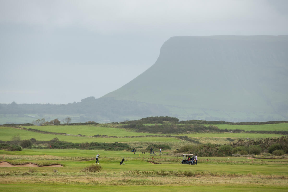
From the cairn‑topped summit you can enjoy sweeping panoramas across the Dartry Mountains, the Lake Dromore basin to the north, and the rolling lowlands of County Sligo. On clear days the distant Benbulben plateau is visible, framing the horizon with its iconic flat top. The view also stretches to Sligo Bay, Glencar Lake, Leean Mountain, Kings Mountain and the high peak of Truskmore.
Popular Loop – Keelogyboys, Hangman’s Hill & Crockauns
A well‑trodden 10.9 km loop links Hangman’s Hill with the neighbouring Keelogyboys ridge and the higher Crockauns summit. The route gains 630 m of elevation and typically takes ~3 hrs 14 min to complete. It is rated 4.26/5 by hikers on the Hiiker platform, with many noting the varied terrain – from gentle grass‑covered slopes to exposed outcrops near the hill’s crest.
Walking Terrain
The ascent is primarily on open moorland and low scrub, with sections of stone‑step paths near the summit. The terrain is suitable for walkers of moderate fitness; there are no technical climbing sections recorded on the major hill‑walking databases.
Flora & Fauna
The Dartry Mountains support a mix of heather, gorse, and native grasses. In spring, the hill’s slopes are dotted with purple heather and occasional wildflowers such as mountain avens. Birdwatchers may spot red‑kites and buzzards soaring overhead. The area is also home to the Irish lizard (Zootoca vivipara), which can be seen basking on sunny rocks.
Geology & Classification
Hangman’s Hill sits on the Dartry Limestone Formation, a dark fine‑grained cherty limestone that underlies much of the Dartry range. The summit’s isolation is about 0.7 km, and its prominence of 65 m places it as the 955th highest summit in Ireland according to MountainViews. It is part of the Castlegal Hills sub‑area of the Dartry Mountains, which includes nearby tops such as Crockauns (463 m) and Keelogyboy Mountain (438 m).
Practical Information
Access & Parking
Hangman’s Hill is open year‑round and free to access – there is no admission fee or formal opening hours. The most common starting point for the loop is the Keelogyboys car‑park on the Sligo side of the border, reachable via the R284 road. An alternative lay‑by at Edenbaun (grid reference G7668 4012) accommodates a single car without blocking the farmer’s track that leads into the valley. A northern approach from the local road opposite the graveyard (grid reference G7567 4001) also provides a small parking spot and a farm track that shortens the walk to the eastern flank.
Navigation & Maps
- Grid Reference: G781398
- OS Map Sheet: OSi50 016 (covers Donegal, Fermanagh, Leitrim, Sligo)
- Recommended Map: Discovery Map 16
- Online Maps: The summit is plotted on OpenStreetMap and can be viewed via the Leaflet interface on Mud & Routes.
Walking Routes
- Standard 10.9 km Loop (Keelogyboys → Hangman’s Hill → Crockauns → back): ~3 h 14 min, 630 m gain.
- Shorter 12.1 km Variant listed on Outdooractive (Keelogyboys, Hangman’s Hill & Crockauns): 540 m gain, ~3 h 30 min.
- Northern Approach from Edenbaun or the local road opposite the graveyard allows a 1.5‑hour round‑trip to the summit and the NE Top, ideal for a quick walk.
Facilities
There are no built‑in facilities (toilets, cafés) on the hill itself. The nearest village with amenities is Keelogyboy, a small settlement a few kilometres south, offering a local shop and a pub.
Safety & Seasonal Tips
The hill is classified as a moderate walk; exposed sections near the summit can be windy, especially in winter. The boggy sections of the loop may become water‑logged after heavy rain, so waterproof boots are advisable. Respect private farmland boundaries that fringe the lower slopes, and keep an eye on the stone wall marking the Leitrim‑Sligo county border on the NE Top.
Nearby Attractions
While exploring Hangman’s Hill, consider adding these nearby points of interest to your itinerary:
- Creevelea Abbey – a 16th‑century Franciscan ruin set beside the River Drowes, a short drive from the trailhead.
- Glencar Waterfall – a spectacular 15‑metre cascade within the Glencar Valley, reachable via a short side road.
- Glencar Lough – the lake that feeds the waterfall, ideal for a picnic or a quiet lakeside walk.
- Battlebridge – a riverside village with camping, a pub and easy access to the Shannon Blueway.
Useful Links
- Detailed summit data: Peakery – Hangman’s Hill
- Community walk reports: Mud & Routes – Hangman’s Hill
- Official hill‑walking database: MountainViews – Hangman’s Hill
- Trail description and GPX: Hiiker – Keelogyboys, Hangman’s Hill & Crockauns
Summary Table
| Feature | Detail |
|---|---|
| Elevation | 400 m (1,312 ft) |
| Prominence | 66 m (217 ft) |
| Classification | Tump (400‑499 m) |
| Range | Dartry Mountains |
| Grid Ref | G781398 |
| OS Map | OSi50 016 |
| Nearest Town | Keelogyboy (County Sligo) |
| Typical Loop | 10.9 km, ~3 h 14 min, 630 m gain |
| Access | Free, all year |
| Bedrock | Dartry Limestone Formation |
| Irish Ranking | 955th highest summit |
Hangman’s Hill may not be the tallest peak in Ireland, but its gentle ascent, rewarding views and position within a classic Dartry loop make it a worthwhile stop for anyone exploring the wild heart of County Leitrim.