Overview
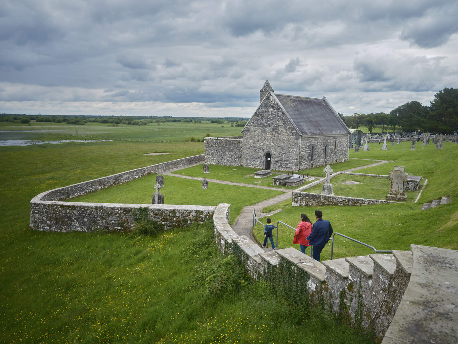
Killeroran lies in the centre of the civil parish of the same name, within the Barony of Killian, County Galway. Bordered by the townlands of Muckanagh North, Muckanagh South, Drinaun, Cartron, Ballygar, Tullyroe and Tully, the area is a patchwork of arable fields, pasture and a few acres of bog. The landscape is punctuated by the ruins of Cill ar Ghualainn (Ronan’s Church) and a small graveyard that houses a number of distinctive monuments, most notably a limestone mausoleum built for the Kelly family in the early 1800s and a locally‑crafted replica of a round tower.
History
The name Killeroran is a later, post‑Reformation anglicisation of the original Irish Cluain Acha Liag – a site recorded in the Registry of Clonmacnoise. Archaeological evidence points to a battle in 770 AD and the townland later served as an inauguration site for the Uí Maine dynasty. In 1595, locals secretly moved a wooden church – known as Cill Rua ar Rinn (the wooden church on the promontory) – to the hill‑top of Killeroran for the dual inauguration of Feardorcha O’Kelly by Hugh O’Donnell, giving the area a brief moment of political prominence.
Land ownership in the 17th century shifted dramatically. The Down Survey maps record the Earl of Clanrickard as the pre‑Cromwellian proprietor, while later deeds list Denis Kelly Esq. as the long‑term holder of the townland. By the mid‑19th century the Kelly family had become the dominant landlord, commissioning a freestanding limestone mausoleum (dated 1813) that still stands near the church ruins. The mausoleum’s pointed‑arch doorway is noted for its fine limestone workmanship and is one of only a handful of such structures in North Galway.
Census returns from 1841 to 1911 chart the demographic ebb and flow of Killeroran. The population peaked at 632 in 1841, fell to 438 by 1851, and further declined to 208 by 1911, reflecting the broader impact of the Great Famine and emigration. The records also reveal a tightly knit agrarian community, with most households listed as farmers, farm labourers or craftsmen, and a remarkable proportion of bilingual Irish‑English speakers.
What to See & Do
| Feature | Date / Period | Highlights |
|---|---|---|
| Cill ar Ghualainn (Ronan’s Church) ruins | Medieval – 16th c. | Stone walls, gravestones, and the surrounding graveyard. |
| Kelly Mausoleum | 1813 (early 19th c.) | Freestanding limestone structure with a pointed‑arch entrance and inscribed date‑stone. |
| Round‑tower replica | 19th c. (commissioned by Denis Henry Kelly) | An elaborate wooden‑stone hybrid tower that echoes the classic Irish round‑tower silhouette. |
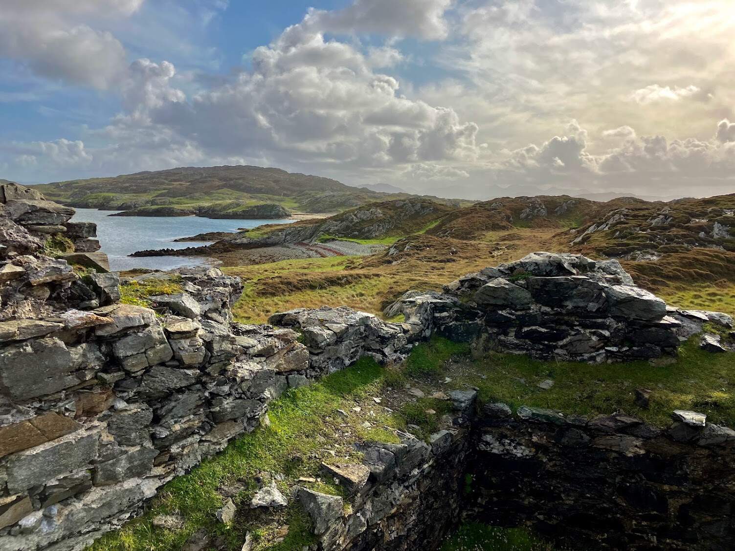
| Historic landscape | Pre‑historic to present | Views across the surrounding townlands, remnants of 19th‑century farmstead buildings, and the old Suck‑side road network. |
Visitors can wander among the gravestones, many of which bear the names of families documented in the 1901 and 1911 censuses – the Fallons, the Mannions, the O’Neills and the Kellys, to name a few. The site is also a focal point for local heritage walks organised by Galway County Council, which often include interpretive panels explaining the 770 AD battle, the 1595 inauguration, and the 19th‑century landlord legacy.
Practical Information
Killeroran is publicly owned by Galway County Council and is open year‑round. There is no formal admission fee, and the site is freely accessible via a minor road off the R357 near Ballygar. Parking is available in a small lay‑by adjacent to the graveyard; the area is unstaffed, so visitors should plan accordingly.
Getting there – From Galway city, take the N63 west to the R357 and follow signs for Ballygar. The turnoff to Killeroran is marked by a modest signpost indicating the church ruins. Public transport options are limited; the most reliable approach is by car or by arranging a local taxi from Ballygar.
Facilities – No visitor centre or restroom facilities exist on‑site. The nearest amenities are in Ballygar (café, shop, public toilets). The terrain around the ruins is uneven, with some stone steps leading to the graveyard; visitors with limited mobility should be aware of the uneven ground.
Accessibility – While the site is free to enter, the uneven ground and stone steps make it challenging for wheelchair users or those with severe mobility issues. A sturdy pair of walking shoes is recommended for all visitors.
Conservation – The site is covered by a Conservation Management Plan prepared by 7L Architects and Dominic Delaney & Associates under the Community Monuments Fund. The plan outlines ongoing maintenance of the stonework, drainage improvements, and the installation of interpretive signage to enhance visitor experience while protecting the fragile archaeological fabric.
Further reading – For a deeper dive into the townland’s genealogy, the National Archives of Ireland host digitised census records for Killeroran (1901, 1911). The Buildings of Ireland database provides detailed architectural descriptions of the Kelly mausoleum and the church ruins.
Visiting Tips
- Timing: Early morning or late afternoon provides the softest light for photography and fewer visitors.
- What to bring: Comfortable walking shoes, a water bottle, and, if you plan to explore the surrounding fields, a map or GPS device as signage is limited.
- Dog policy: Dogs are permitted on the site but should be kept on a leash to protect the historic fabric and wildlife.
- Respect the site: Stay on established paths, avoid touching fragile stonework, and take any litter with you.