Overview
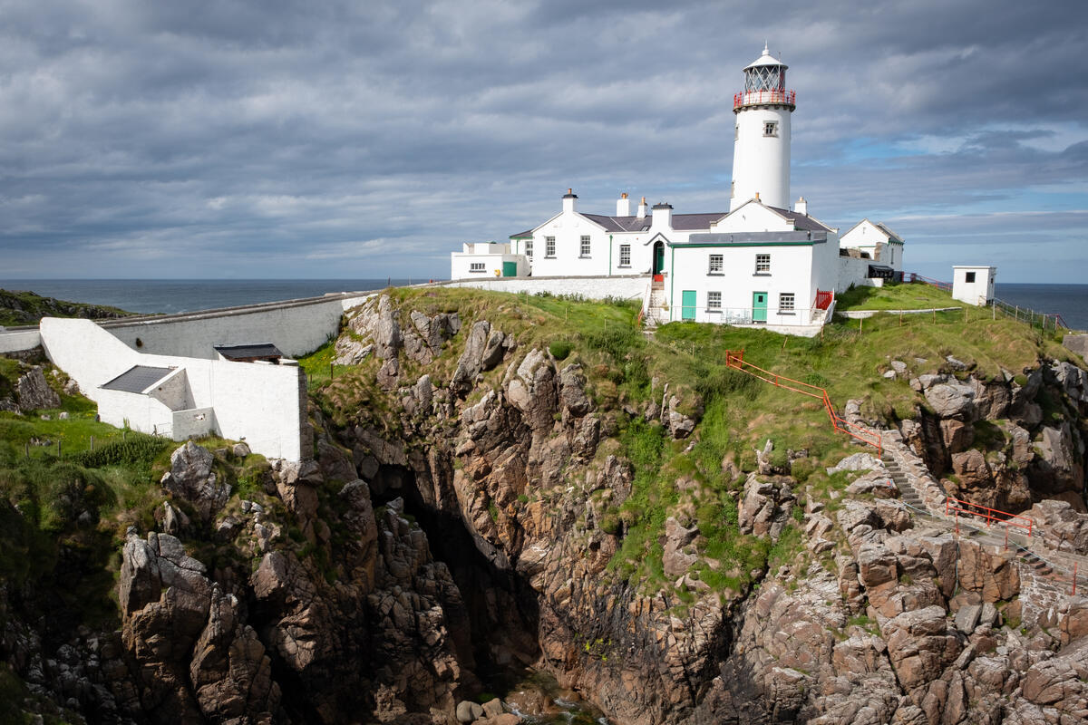
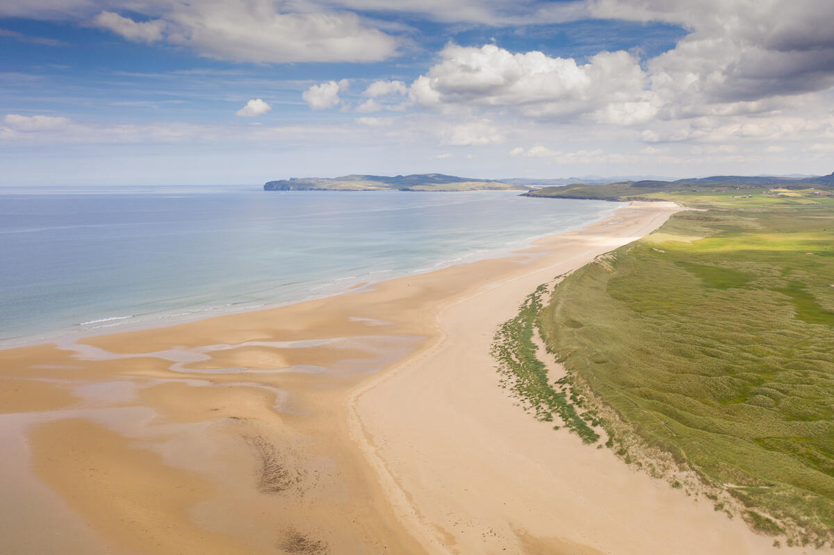
Rising to 363 m (1,191 ft), Knockalla Mountain (Irish: Cnoc Colbha) forms the dramatic backbone of the Fanad Peninsula in north‑west Donegal. Its jagged silhouette has earned the affectionate nickname The Devil’s Backbone. From the summit one can spot Lough Swilly, Fort Dunree, the Urris Hills, Ballymastocker Bay, Horn Head, Fanad Head and, on a clear day, the distant outlines of Malin Head and the Atlantic horizon. Two small alpine‑style lakes sit on the plateau, framed by heather‑strewn slopes and hardy ferns that blaze purple in late summer.
History & Background
The ridge has long served the local community. Historically it linked the inland villages of Kerrykeel and the coastal hamlet of Shanky, providing a route for livestock and goods. A centuries‑old pilgrimage path – the Way of the Cross – climbs the southern slopes, ending at a modest outdoor chapel that offers a quiet place for reflection. Near the main car park stand the Knockalla Crosses, ancient stone way‑markers that still draw walkers today. The landscape is a classic example of Donegal’s glaciated terrain: smooth, rounded summits capped by cairns, interspersed with boggy hollows and patches of heather.
Geology & Classification
Knockalla is a classic Marilyn (prominence 325 m / 1,066 ft) and ranks among Ireland’s 100‑prominence peaks. Its isolation of 9.99 km highlights its dominance on the Fanad Peninsula. The mountain’s shape is the result of the last glacial period, which carved the rounded summit and left the twin lakes in a shallow corrie.
What to See & Do
| Trail | Distance | Estimated Time | Difficulty | Ascent |
|---|---|---|---|---|
| Knockalla Mountain Trail (car‑park start) | 2 km | 1–1.5 h | Moderate | ~150 m |
| Knockalla Ridge – The Devil’s Backbone (Shanky → Ballymastocker Bay) | ~6 km | 3.5–4 h | Medium (Grade 3) | 363 m |
| Full Ridge Loop (incl. summit lakes) | 8.37 km | 4.5 h | Moderate‑to‑Difficult | 338 m |
Knockalla Mountain Trail – Short Ascent
Starting at the car park by the Knockalla Crosses (grid ref C258 375), the route follows a short 250 m road section before turning onto a historic grass track. The path climbs steadily through heather, leading to a cairn‑topped summit that rewards hikers with a 360° panorama of Lough Swilly, the Urris Hills and the sparkling waters of Ballymastocker Bay.
Knockalla Ridge – The Devil’s Backbone
For a more immersive experience, begin at the lay‑by in Shanky (grid ref C235 329). The walk follows a minor road past Glenvar Church, then ascends a stony track that traverses two main summits and skirts the twin summit lakes. Highlights include:
- Sweeping sea views of Ballymastocker Bay, Horn Head, Fanad Head and the Atlantic.
- Two small mountain lakes framed by heather and ferns.
- Cairns that aid navigation across the ridge.
- Occasional rabbit holes and bog‑filled sections that benefit from trekking poles.
The route finishes at the Ballymastocker Beach Viewpoint (marked on Google Maps and signposted with a Wild Atlantic Way brown sign). Walking west‑to‑east (Shanky to the viewpoint) helps avoid prevailing westerly winds on the ascent.
Full Ridge Loop – Lakes and Peaks
The longest option combines the Shanky start with the western viewpoint and then returns via the Knockalla Mountain Trail, creating an 8.37 km loop that includes the summit lakes, both cairned peaks and a final descent past the caravan park. It offers a varied mix of moderate and challenging sections, ideal for walkers seeking a full‑day adventure.
Pilgrimage Trail & Outdoor Chapel
A short detour from the main ridge leads to the Way of the Cross, a series of stations culminating in a modest chapel perched on the slope. It provides a peaceful spot to pause, reflect and enjoy the surrounding landscape.
Access & Parking Details
- Shanky lay‑by (A‑end): Limited parking on the R247; grid reference C235 329. Ideal for starting the Devil’s Backbone.
- Ballymastocker Bay viewpoint (B‑end): Small lay‑by with a Wild Atlantic Way sign; grid reference C250 378. This is the usual finish point.
- Knockalla Crosses car park: Serves the 2 km trail; grid reference C258 375.
- The ridge walk is unmarked; cairns and occasional way‑markers guide the route. A 1:25,000 OS map (OSI map 2) or a reliable walking app is essential.
- Because the route is effectively A‑to‑B, many walkers use two cars – one dropped at the start, the other collected at the finish.
- Parking is limited at both ends, especially in summer, so arrive early.
Seasonal Tips
- Late summer brings a carpet of purple heather and ferns, making the ridge especially photogenic.
- Winter walks are possible but the ground can be very boggy and daylight is short; bring extra layers, a head‑lamp and sturdy boots.
- Strong westerly winds are common; the recommended east‑bound direction reduces exposure.
Nearby Amenities
- Knockalla Caravan & Camping Park: Offers Wi‑Fi, a shop, café, laundry, hot showers, chemical toilets, a camper’s kitchen and sports courts. It sits between the mountain and the Blue Flag beach at Ballymastocker Bay, making it a convenient base.
- Cafés: Small cafés in Kerrykeel and Portsalon provide refreshments and rest stops for walkers.
- Beach: Ballymastocker Bay is a Blue Flag beach, ideal for a post‑walk dip or a picnic.
Practical Information
- Gear: Sturdy hill‑walking boots and trekking poles are recommended, especially for the ridge and boggy sections. Weather can change rapidly; bring waterproof layers and a map or GPS.
- Navigation: Cairns mark the main route, but some sections are unmarked; a detailed OS map or a reliable walking app is advisable.
- Best Direction: For the Devil’s Backbone ridge, start at Shanky and walk eastward to the Ballymastocker Bay viewpoint to minimise exposure to prevailing westerly winds.
- Season: The heather blooms in late summer, providing vivid colour. Winter walks are possible but require extra caution due to boggy ground and reduced daylight.
Knockalla Mountain offers a compact yet spectacular slice of Donegal’s wild Atlantic character – perfect for families, casual walkers and seasoned hill‑walkers alike.