Overview
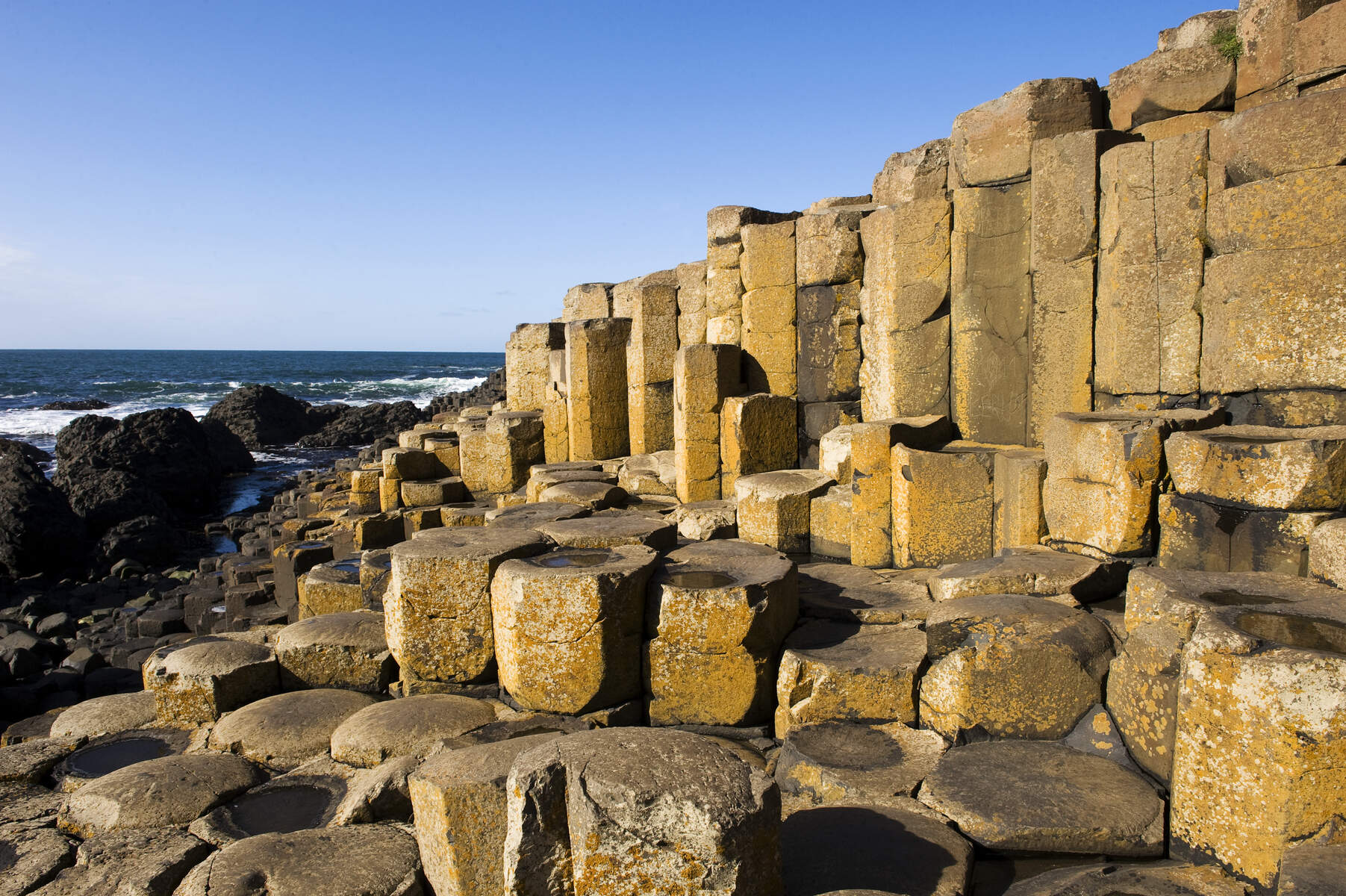
Lissanduff Earthworks lie just outside the seaside village of Portballintrae on Northern Ireland’s famed Causeway Coast. The twin concentric earthen rings, nicknamed the “Cups and Saucers”, consist of a high, dry banked enclosure and a larger, marsh‑filled wet ring centred on a natural spring. From the outer rim the site offers dramatic panoramas of Bushfoot Strand, the rugged headland of Runkerry Point and, on clear days, the iconic basalt columns of the Giant’s Causeway.
The earthworks are a State Care Monument managed by the Northern Ireland Environment Agency and are freely accessible to the public.
History / Background
Both rings date to the Iron Age, a period when the north‑west of Ireland was dotted with ceremonial enclosures. The smaller dry ring rises about three metres on its outer bank and two metres on the inner side; in the 19th century a house was built over part of it and the interior was lined with stone and brick, leaving a visible stone‑lined wall today. The larger wet ring encloses a spring that keeps its centre marshy year‑round. Scholars debate the purpose – possibilities include public assemblies, ritual gatherings or a symbolic representation of the cycle of birth and death, the dry and wet embodying contrasting states of existence. Local folklore reinforces the “Cups and Saucers” nickname, likening the concentric depressions to kitchenware.
What to See & Do
- Walk the rings – Follow the metal‑staired path around each bank. The dry ring’s steep banks create a sense of enclosure, while the wet ring’s lower, overgrown banks hide a spring that can surprise the unwary.
- Interpretation panel – An on‑site information board explains the layout, history and the theories behind the twin circles, making the site accessible to all visitors.
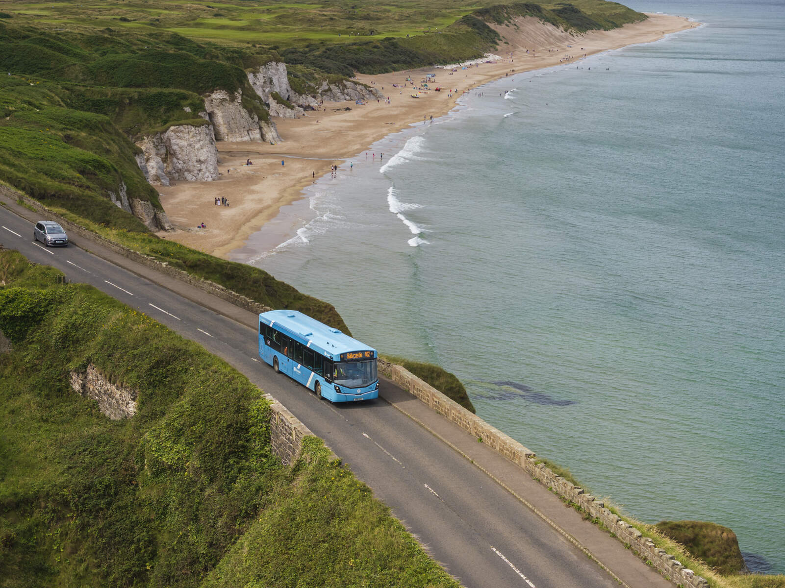
- Panoramic coastal views – From the outer edge you can photograph Bushfoot Strand, Runkerry Point and, in the distance, the Giant’s Causeway. Sunrise and sunset bring especially striking light.
- Wildlife spotting – The marshy wet ring attracts wading birds such as oystercatcher and curlew, small mammals and occasional otters.
- Family‑friendly walk – The loop is only about 0.3 mi (≈0.5 km) and classified as easy, making it suitable for children and strollers (though the steps may require assistance).
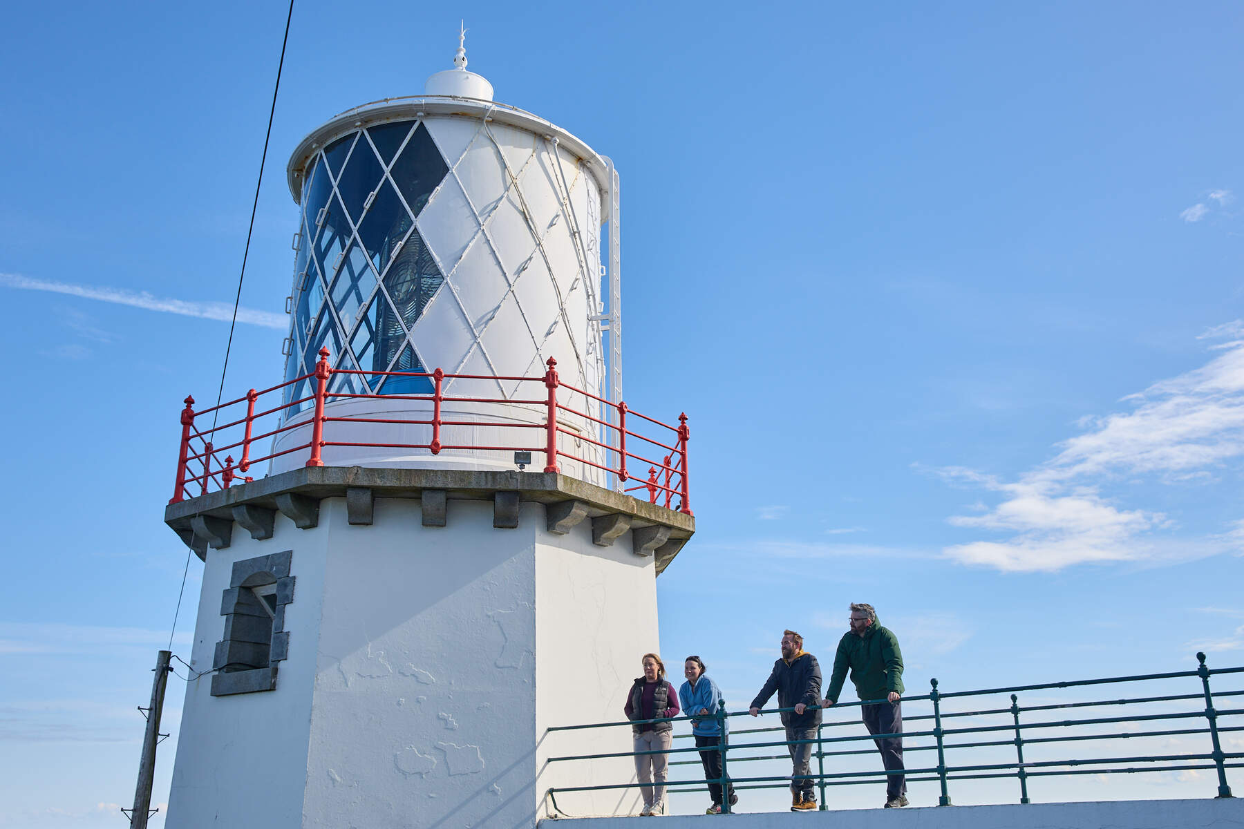
- Combine with nearby attractions – After exploring, a short drive leads to the Old Bushmills Distillery for a tasting, the Blackhead Lighthouse for another viewpoint, or the Bayview Hotel for a bowl of seafood chowder overlooking the bay.
Practical Information
- Location: 55° 13′ 7.79″ N, 6° 32′ 21.55″ W (OS grid reference C 929 424), County Antrim.
- Access & Parking: Free car park at the north end of Portballintrae (Beach Road, BT57 8RT). Parking is free, though occasional local charges may apply.
- Public transport: The nearest Translink bus stop is in Portballintrae; check the journey planner for services along the Causeway Coastal Route.
- Trail: A well‑marked, circular loop of roughly 0.3 mi (≈0.5 km). The surface is a mix of metal stairs, grass, and hardcore; sturdy footwear is recommended. The route is easy but not fully wheelchair‑accessible because of steps.
- Facilities: Car park, interpretation panel, metal stairs, and accessible toilets at the Portballintrae Community Centre (limited opening hours) or in Bushmills.
- Dog policy: Dogs are allowed but must be kept under close control at all times.
- Opening hours: Open year‑round with no formal opening times; visitors may access the site at any time.
- Best time to visit: Early morning or late afternoon for optimal light and fewer crowds; the spring in the wet ring remains water‑logged even in dry weather.
- Visitor tips: Bring a waterproof jacket in case of mist from the spring, keep an eye on children near the wet ring, and carry a binocular for birdwatching.