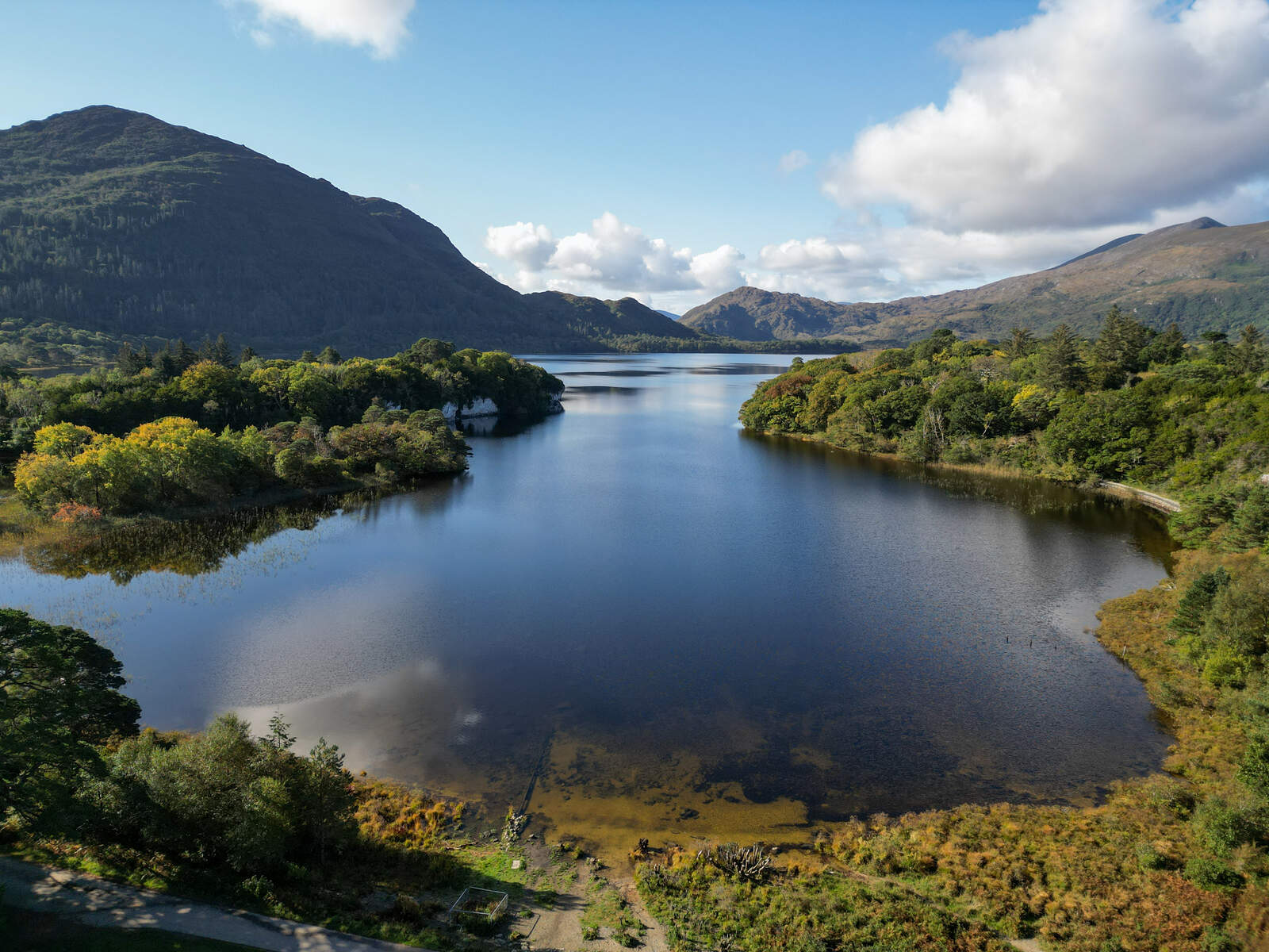
Overview
The MacGillycuddy’s Reeks form a dramatic 20‑kilometre spine across the Iveragh Peninsula in County Kerry. The range boasts Ireland’s three highest summits – Carrauntoohil (1,038 m), Beenkeragh (1,010 m) and Caher (1,001 m) – and a series of jagged ridges, deep glens and crystal‑clear lakes. Because the mountains are privately owned and actively farmed, visitors are asked to respect the land, stick to established paths and keep dogs leashed (in fact, dogs are not permitted on the Reeks). The area is a cornerstone of the Ring of Kerry, offering both a wild back‑country experience and spectacular viewpoints over Killarney National Park, the Lakes of Killarney and the Gap of Dunloe.
History
The name MacGillycuddy dates back to the 18th‑century Irish clan that once held the territory. In 2014 a dedicated Mountain Access Forum was established to protect, manage and sustainably develop the range. While the peaks have long attracted shepherds and hunters, modern interest surged after the first recorded ascents of Carrauntoohil in the 19th century. Today the Reeks are a magnet for mountaineers, guided‑walk companies and adventure‑seeking tourists, all drawn by the blend of myth, geology and unrivalled scenery.
What to See & Do
Classic summit routes
- Devil’s Ladder (Carrauntoohil) – The most popular direct line from Cronin’s Yard (or the alternative Lislebane) to the summit. The ascent covers roughly 7 km (12 km round‑trip) with a total climb of 859 m and typically takes 4–6 hours. The path is well‑marked but the stone‑filled “ladder” shows signs of erosion, so walkers should watch for loose stones.
- Stumpa an tSaimh Ridge (Carrauntoohil via Beenkeragh) – A more demanding 11 km, 5‑hour scramble that traverses the narrow Stumpa an tSaimh ridge, the Bones and then the summit of Carrauntoohil. This route offers unique, close‑up views of Beenkeragh and requires careful footing.
- Reeks Ridge Walk (MacGillycuddy’s Reeks Traverse) – A strenuous 26 km ridge trek that hits eight of Ireland’s ten highest peaks, including Carrauntoohil, Beenkeragh, Caher, Cnoc na Toinne and others. It is best attempted by experienced hikers with strong navigation skills.
Other highlights
- Hags Glen – A lush valley accessed early in the Devil’s Ladder approach, crossed via new steel bridges and stepping stones over the Gaddagh River.
- Heavenly Gates – A descent route from Carrauntoohil that provides a quieter alternative to the Ladder.
- Coomloughra Horseshoe – A loop that incorporates Carrauntoohil, Beenkeragh and Caher in a single day, celebrated as “Ireland’s ultimate trek”.
- Scenic passes – The narrow roads through the passes of the Reeks (e.g., the Gap of Dunloe) are drivable and give spectacular panoramas of peat bogs, lakes and forested valleys.
Guided experiences
Local outfitters such as Kerry Climbing offer guided walks on the Devil’s Ladder and other routes. Guides add historical context, ensure safety on exposed sections and can help navigate the sometimes‑confusing terrain, especially in poor visibility.
Practical Information
| Item | Details |
|---|---|
| Access points | Breanlee, Lislebane, Cronin’s Yard (closest to Killarney) |
| Parking | Small car parks at each trailhead; Cronin’s Yard is a short drive from Killarney town |
| Opening hours | Every day (weather permitting) |
| Admission fee | Free of charge |
| GPS coordinates | 52.010550, -9.701890 |
| Website | https://www.go-to-ireland.com/what-to-see/macgillycuddys-reeks/ |
| Guidelines | https://macgillycuddyreeks.ie/guidelines |
| Dog policy | Dogs are not permitted on the Reeks |
| Private land | The mountains are privately owned and actively farmed; stay on marked paths |
Getting there
The trailheads are reachable via the N71 from Killarney. Cronin’s Yard sits on the western side of the Reeks, just a few kilometres from the town centre. Public transport to Killarney is frequent, and from there a short taxi ride or a 20‑minute walk brings you to the start of the Devil’s Ladder.
Navigation & safety
All routes should be followed with a current OS map and compass; the published route maps are illustrative only. The area is known for rapid weather changes, and visibility can drop to near‑zero on the summit ridge. The MacGillycuddy’s Reeks Access Forum recommends checking the latest forecasts and carrying a fully charged mobile phone or radio. For the most exposed sections (e.g., Stumpa an tSaimh ridge) a guide is strongly advised.
Suggested resources
- Panoramic summit view – Carrauntoohil summit panorama
- Detailed route guides – ActiveME’s in‑depth pages on the Devil’s Ladder, Stumpa an tSaimh ridge and the Reeks Traverse.
- Local accommodation – Options range from B&Bs in Killarney to farm stays near the trailheads; see the Go‑to‑Ireland page for a shortlist.
The MacGillycuddy’s Reeks deliver a raw, unforgettable mountain experience. Whether you aim for the summit of Carrauntoohil via the iconic Devil’s Ladder, tackle the full ridge traverse, or simply enjoy a day‑long hike through Hags Glen, the range rewards every step with sweeping vistas and a palpable sense of Irish wilderness.