Overview
Mount Errigal dominates the Donegal skyline at 2,464 ft (751 m), the highest point of the Derryveagh Mountains and the most striking of the Seven Sisters range. The popular Mount Errigal hike is a 4.5 km (2.8 mi) round‑trip that climbs the mountain’s steep quartzite slopes, rewarding walkers with sweeping vistas of the Atlantic coast, the surrounding peaks, and on clear days, even the Aran Islands.
The trail starts from a small car park on the R251 road just outside the village of Dunlewey. From there the route follows a newly‑installed 1.4 km gravel path that bypasses the formerly boggy lower section, then ascends a series of stone steps to the summit. The hike is classified as moderate to strenuous, with an elevation gain of roughly 525 m.
History & Legend
According to local folklore, the mountain was named by the ancient Fir Bolg, the fourth wave of settlers on the island. The Irish word eireagal translates to “oratory”, suggesting the peak itself was once a place of worship. Unlike the pilgrimage site of Croagh Patrick, no church stands on Errigal, reinforcing the idea that the mountain’s very presence was the sacred space.
The summit features two distinct peaks. The higher point is reached first; a narrow ridge called One Man’s Pass links it to the secondary summit, a crossing of only 30‑40 m that can feel exposed when the wind picks up.
What to See & Do
- Summit Views – From the top you can spot Slieve Snaght to the north, Ben Bulben in Sligo to the south, and on exceptionally clear days the Aran Islands across the sea. The quartzite composition gives the mountain a pink glow at sunset, a favourite photo‑op for landscape lovers.
- One Man’s Pass – The narrow ridge between the two peaks offers a dramatic perspective of the surrounding valleys. Caution is advised when it’s windy, as the path can become slippery.
- Post‑Hike Exploration – After descending (approximately 40‑60 minutes), the area offers several attractions within a short drive:
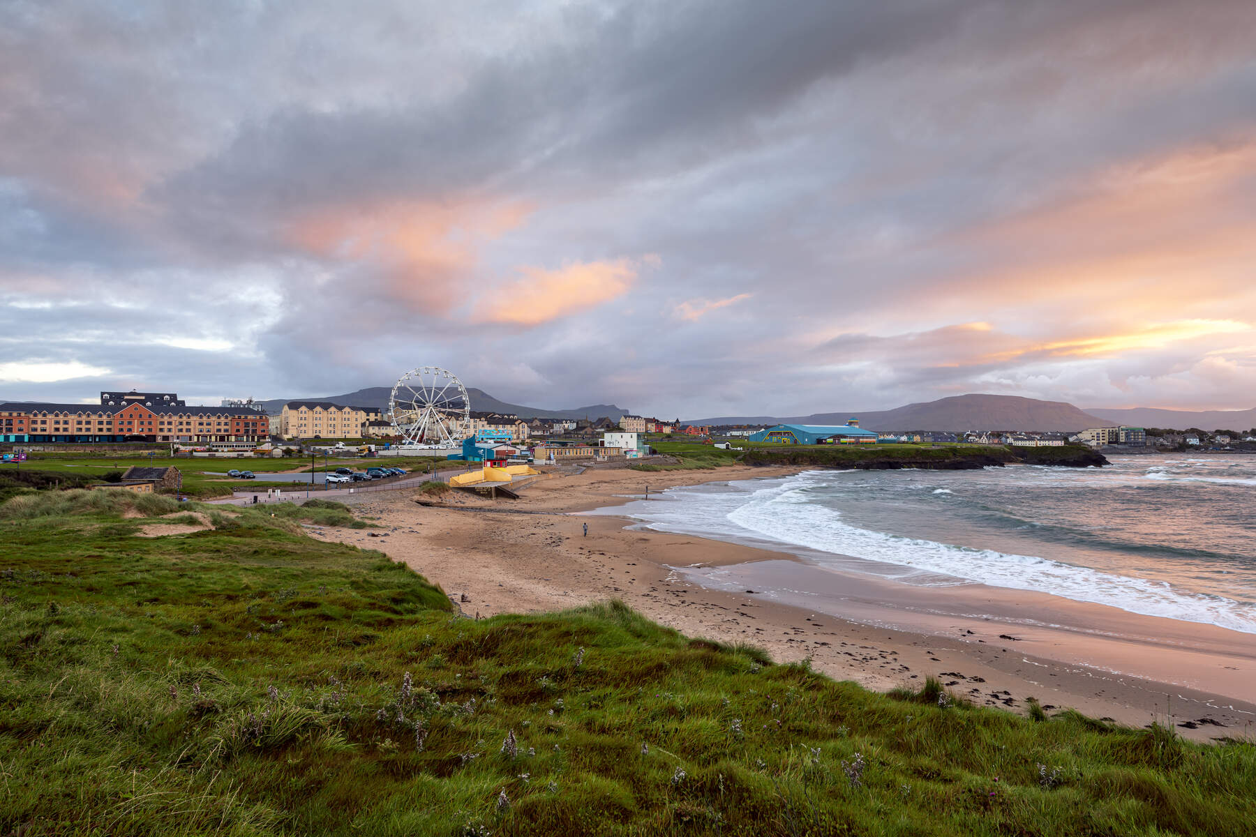
- Dunfanaghy – a coastal village with a selection of restaurants and easy access to Killahoey Beach.
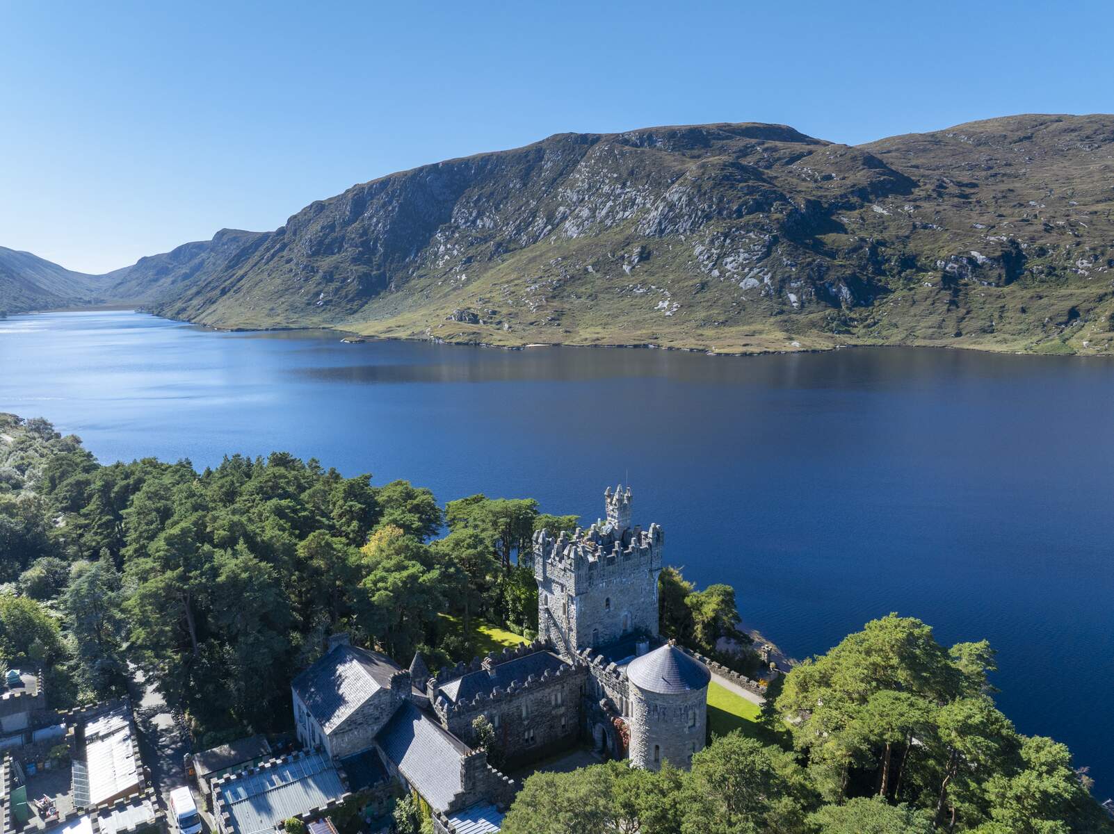
- Glenveagh National Park – just 10 minutes away, featuring Glenveagh Castle, woodland walks, and Lough Beagh.
- Carrickfinn Beach and Ards Forest Park – both about a 25‑minute drive, perfect for a seaside stroll or a picnic.
Practical Information
- Parking – The Mount Errigal car park sits on the R251. The space accommodates roughly 10‑12 cars and can fill quickly on fine summer days.
- Trail Length & Duration – 4.5 km total; typical ascent time 1.5‑2 hours, descent 40‑60 minutes.
- Difficulty – Moderate to strenuous; the new path and steps reduce the boggy challenge but the final ascent remains steep and can be slippery when wet.
- Access – The trailhead is a 20‑minute drive from Falcarragh, 25 minutes from Dungloe or Dunfanaghy, and 35 minutes from Letterkenny. The route is sign‑posted from the car park.
- Fees – There is no admission charge; the hike is free entry.
- Website – Detailed route information, maps and recent updates are available at the Irish Road Trip guide.
- Seasonal Note – The parking area becomes very busy on sunny summer days; early arrival improves the chance of finding a space.
Nearby Attractions & Services
| Attraction | Distance from Trailhead | Notes |
|---|---|---|
| Dunfanaghy restaurants | 25 min drive | Variety of eateries serving local seafood |
| Killahoey Beach | 25 min drive | Sandy beach ideal for a post‑hike walk |
| Glenveagh National Park & Castle | 10 min drive | Trails, historic castle, tea rooms |
| Carrickfinn Beach | 25 min drive | Popular coastal spot |
| Ards Forest Park | 25 min drive | Forest walks and beach access |
Mount Errigal remains one of Ireland’s most photographed mountains, not only for its dramatic silhouette but also for the pinkish hue it takes on at sunset. Whether you are a seasoned hillwalker or a visitor seeking a memorable summit experience, the upgraded trail and iconic views make this hike a must‑do on any Donegal itinerary.