Overview
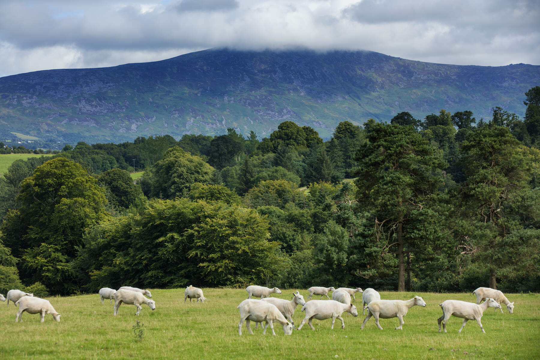
Mount Leinster (Irish: Stua Laighean) rises to 795 m (2,605 ft) and claims the title of the highest point in the Blackstairs range. It sits on the Carlow‑Wexford border, a stone’s throw from the villages of Bunclody, Borris and the historic Nine Stones Viewing Point. The mountain is a favourite among hikers, cyclists, hang‑gliders and anyone chasing a dramatic outlook over the south‑east of Ireland.
History & Background
The summit is dominated by a 2RN transmission mast, the highest broadcast site in the country. The original low‑power TV transmitter began service in December 1962, with full operation from June 1963. Over the decades the site has carried RTÉ radio, Saorview television and a suite of FM stations, its mast being replaced in 2010 to accommodate digital broadcasting.
Scattered at the foot of the mountain are the enigmatic Nine Stones – a line of ten upright stones, the largest about 1 m high. Their origin is uncertain; folklore links them to nine shepherds killed in a storm, while archaeological records simply note them as a long‑standing landmark.
Mount Leinster also bears a darker slice of Irish history. In 1786 the last recorded wolf in Ireland was shot on its slopes, an event that marked the end of a species that had roamed the island for millennia. A more recent tragedy occurred on 7 September 1983 when a Cessna 182Q crashed 100 ft below the summit, killing all four occupants. A memorial now stands at the peak, reminding visitors of the mountain’s sometimes‑hazardous reputation.
What to See & Do
The Summit Walk
The most popular ascent starts at the Nine Stones car‑park (GPS: 52.6369, ‑6.7937). From there a tarmacked access road climbs roughly 350 m over 3 km, with gradients that briefly touch 20 %. The climb takes about 90 minutes at a steady pace. Along the way, thick woodland gives way to open heather, and a cattle grid marks the transition to the summit approach.
At the top, the transmitter mast is unmistakable. A small cairn and a memorial plaque honour the 1983 air crash victims. On clear days the panorama stretches from the rolling Blackstairs ridges to the distant Wexford coastline, and on exceptionally fine days the Wicklow Mountains are visible across the Irish Sea.
Cycling Challenge
Mount Leinster is a celebrated climb in Irish road‑cycling. Two classic routes are used in the Tour of Ireland and the Rás Tailteann:
| Start point | Length (km) | Avg. gradient | Final 2 km gradient |
|---|---|---|---|
| Borris (Carlow) | 13.2 | 6.9 % | up to 16 % |
| Bunclody (Wexford) | 14.0 | 5.9 % | up to 16.3 % |
The climb is also a favourite training ground for the local ML Syndicate mountain‑bike club, which organises trail rides and MTB events on the surrounding slopes.
Hang‑Gliding & Radio‑Controlled Flight
The open expanse around the transmitter makes Mount Leinster a popular launch site for hang‑gliders and RC gliders. The site’s elevation provides reliable thermals, though a fatal accident in 2003 serves as a sobering reminder of the sport’s risks.
Heritage Drive
For those who prefer wheels to feet, the 75 km Mount Leinster Heritage Drive threads through the villages of Borris, Bunclody, Clonegal, Kildavin, Myshall, Fennagh and Bagenalstown. Sign‑posted routes and village map boards guide motorists past historic sites, heather‑clad hills and the occasional glimpse of the summit from the road.
Nearby Attractions
After the summit, a short drive brings you to several cultural highlights:
- Huntington Castle & Gardens (≈25 min) – a 17th‑century garrison turned garden oasis.
- Graiguenamanagh (≈25 min) – a picturesque Barrow‑river village perfect for a post‑hike pint.
- Brandon Hill (≈40 min) – Kilkenny’s highest peak for those craving another summit.
Practical Information
Getting there – From the M9, take the N80 south of Carlow towards Bunclody, then the R746 to the Nine Stones car‑park. The drive from Carlow town is about 30 minutes; from Wexford Town, roughly 50 minutes.
Parking – The Nine Stones Viewing Point offers ample free parking. A metal gate blocks vehicular access to the summit road; walkers must continue on foot.
Route options – The direct 3 km ascent is the quickest way to the top. For a longer experience, the Blackstairs Challenge loop (≈30 km) traverses the entire range, while the South Leinster Way (56 km) offers a low‑level, multi‑day trek through the region.
Navigation – The area is well‑marked with way‑points such as Black Rock Mountain (604 m), Stooylen (594 m) and Knockroe (542 m). The 1:25 000 EastWest map is highly recommended for detailed track work.
Safety – The summit road is fenced off to protect the mast; stray dogs are discouraged despite occasional “No Dogs” signs being ignored. In poor visibility, the terrain can become boggy and navigation challenging, so a compass or GPS device is advisable.
Facilities – No permanent visitor centre exists on the mountain. The car‑park provides basic seating and a viewpoint; water and toilet facilities are available in nearby villages.
Seasonality – The walk is open year‑round. The transmitter mast remains operational, and the memorial is accessible at all times.
Mount Leinster delivers a compact yet rewarding mountain experience: a blend of natural beauty, technical history and adrenaline‑fuelled sport. Whether you’re chasing a summit selfie, testing your climbing legs on a steep road, or simply soaking in the sweeping south‑east Irish landscape, the peak stands ready to welcome you.