Overview
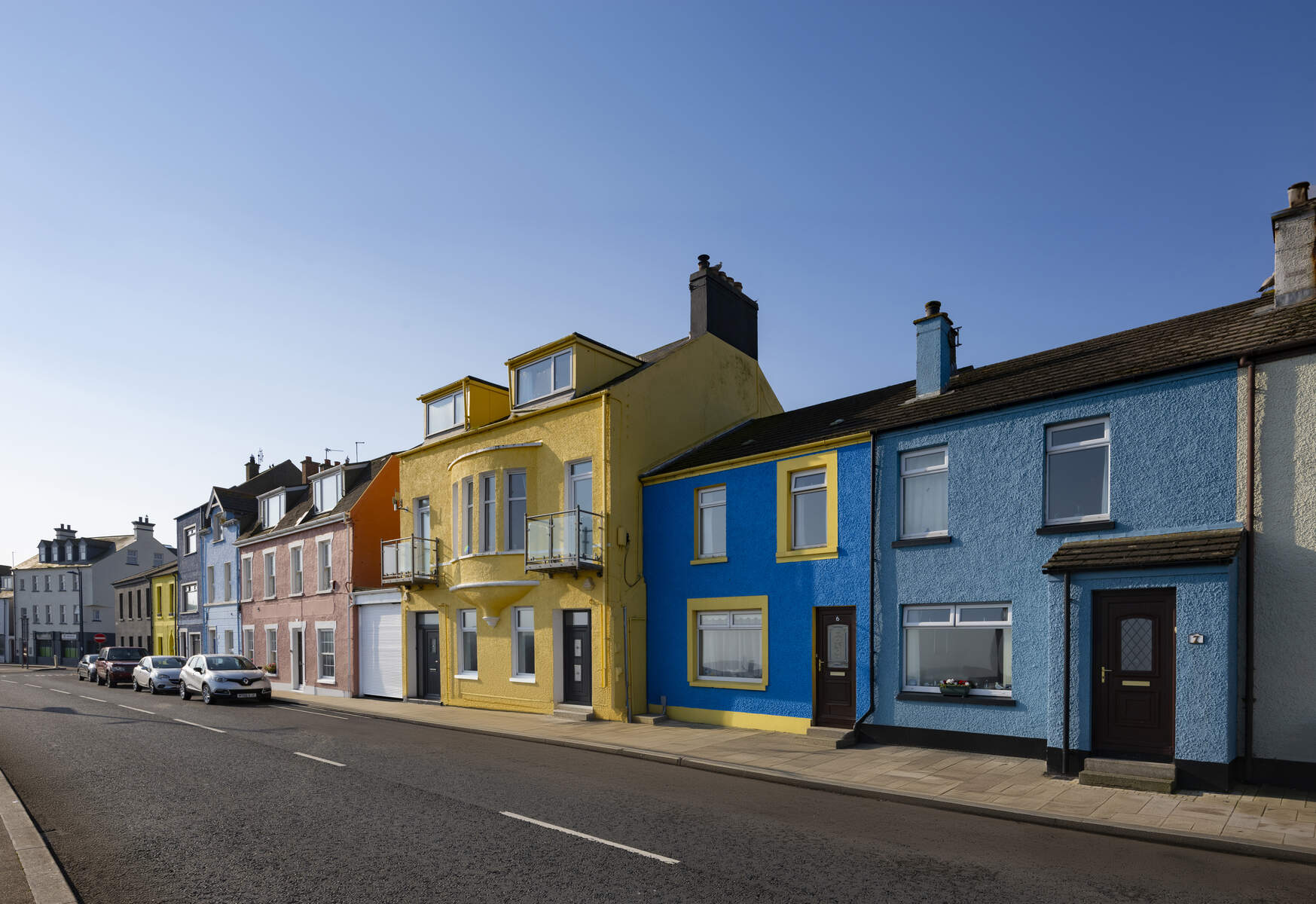
The North Down Coastal Path is a 16‑mile (about 25 km) coastal walk that begins at the Esplanade in Holywood and finishes at Orlock Point near Donaghadee. Winding along the southern shore of Belfast Lough, the trail threads through seaside towns, sandy beaches, wooded glens and historic sites. Grey seals are a regular sight offshore, and the path offers uninterrupted views of the lough, the Belfast skyline and the rolling hills of County Down. The walk lies within the Ards and North Down district, a coastal gem of Northern Ireland.
Background
Originally charted as part of the Ulster Way, the North Down Coastal Path has long served locals and visitors as a low‑impact way to experience the natural and cultural heritage of the area. The route follows a mixture of public footpaths, private roads (where the Highway Code must be observed) and purpose‑built coastal walkways. Historic relics such as Grey Fort Point – a former gun battery completed in 1907 – punctuate the journey, reminding walkers of the strategic importance of Belfast Lough during the early 20th century.
What to See & Do
- Seapark Recreation Ground (Holywood) – The official start‑point of the path, this seaside park offers panoramic lough views and a children’s play area.
- Royal North Yacht Club – A striking waterfront venue that marks the early coastal stretch.
- Ulster Folk and Transport Museum – A short detour to the right brings you to this award‑winning museum, where you can explore historic buildings and vintage transport before re‑joining the path.
- Craigavad & Royal Belfast Golf Club – The path skirts the golf club, providing a pleasant green backdrop.
- Crawfordsburn Country Park – One of Ulster’s most popular parks, its 3.5 km of beaches, woodland glens and a waterfall form a natural highlight. The park’s visitor centre is fully accessible, and the coastal segment here passes Grey Point Fort, where the massive 1907 gun emplacements dominate the horizon.
- Helen’s Bay – A sandy beach framed by cliffs; excellent for a brief rest or a picnic.
- Bangor Marina & Wilson’s Point – The route swings inland to offer views of the bustling marina before returning to the shoreline. (See more at Bangor Marina.)
- Ballyholme Beach & Ballymacormick Point (National Trust) – A stretch of golden sand backed by dunes, ideal for bird‑watching.
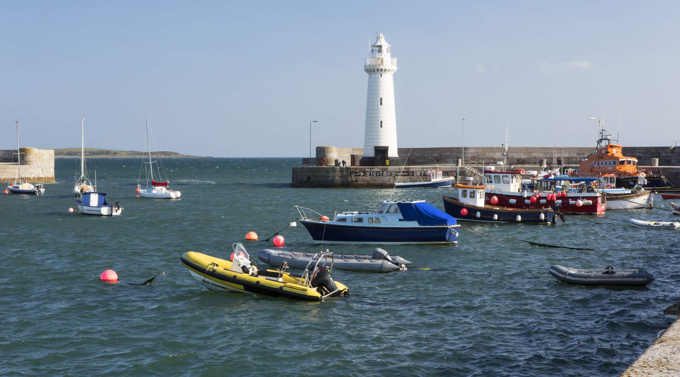
- Groomsport Harbour – The final coastal village before the path becomes more rural, leading to the quiet Orlock Point.
Wildlife enthusiasts will appreciate the variety of birds (herons, shags, guillemots, Brent geese in winter) and the occasional seal haul‑out. The path’s mixed terrain – bitumen, stone and grass – keeps the walk interesting, while accessible sections ensure that families with prams or wheelchair users can enjoy much of the route.
Practical Information
The North Down Coastal Path is free to use, though some car parks along the way may charge for parking. Toilets, cafés and accommodation are available in the villages of Holywood, Newtownards, Helen’s Bay, Groomsport and Bangor. The nearest major town is Holywood, where visitor information can be obtained from the Ards and North Down Borough Council.
| Item | Details |
|---|---|
| Start point | Esplanade, Holywood (grid reference J397793) |
| End point | Orlock Point, Portavoe (grid reference J565828) |
| Distance | 16 miles (≈ 25 km) |
| Typical walking time | 4‑5 hours, depending on pace and stops |
| Terrain | Bitumen, stone, grass, beach; some steep steps near Seahill Sewage Treatment |
| Accessible toilets | Yes – located in Holywood, Crawfordsburn Country Park and other villages |
| Contact | 028 9127 0069 (Bangor Visitor Information Centre) – 0300 013 3333 (Council Switchboard) |
| Map & guide | Downloadable leaflet available from the Discover Northern Ireland page; OS map Sheet 15 recommended |
Safety notes – Sections of the path run along private roads; walkers, cyclists and runners must give way to residential traffic and obey the Highway Code. The route is well‑marked, but a reliable map or GPS device is advisable, especially where the path briefly leaves the coastline (e.g., crossing Swineley Bay).
Getting there – Holywood is easily reached by train from Belfast (Northern Ireland Railways) and by car via the A2. Public transport links serve Bangor, Groomsport and Newtownards, allowing you to start or finish the walk at a convenient point.
Seasonal considerations – The path is open year‑round. While the coastal sections are exposed, the majority of the walk remains usable in all weather. Winter brings the chance to see Brent geese and larger seal colonies.
Nearby attractions – If you wish to extend your day, consider visiting the Ulster Folk and Transport Museum, the historic Holywood Maypole, or the scenic Ballymenoch and Redburn Country Parks, all within a short drive of the trail.
Enjoy the blend of natural beauty, historic intrigue and friendly coastal villages that make the North Down Coastal Path one of County Down’s most rewarding long‑distance walks.