Overview
Rathgall Hillfort (Irish: An Ráth Gheal), also called the Ring of the Rath, crowns a ridge on the edge of the townland of Rath East, about 5 km east of Tullow in County Wicklow. The multivallate earthwork dominates the surrounding countryside, offering sweeping panoramas of the Wicklow hills and the lowlands beyond. Managed by the Office of Public Works, the site is open year‑round and admission is free, making it an easy stop for history lovers, families and anyone who enjoys a walk in the Irish countryside.
Location & Access
Rathgall lies just off the R275 (Shillelagh‑Tullow road) near the hamlet of Coolkenno. A small, free car park sits beside the road; visitors are advised to pull as far off the road as possible and watch for on‑coming traffic before exiting the vehicle. The final approach is a short farm track that crosses a couple of wooden stiles.
By car – From Dublin take the M9 to the R726 and follow signs for Shillelagh, then the R275 eastwards. The journey takes about 1 hour 15 minutes.
Public transport – The nearest bus stop is in Tullow. From there a local bus or a taxi can bring you to the hillfort (approximately a 30‑minute walk from the stop). Services are infrequent, so check the latest timetables before you travel.
Archaeology & Structure
Rathgall is one of Ireland’s largest hillforts, covering roughly 7.5 ha (18 acres). The monument consists of four concentric rings:
- Three outer banks – earth‑filled ditches faced with stone, each rising up to 3.5 m high and together forming a formidable defensive perimeter.
- An inner dry‑stone wall – a later medieval stone circle about 15 m across, built without mortar and forming the core of the site.
The overall diameter of the outermost enclosure is about 310 m, giving the fort a roughly circular footprint. This layout reflects a long sequence of occupation, from the Late Bronze Age (c. 1200–800 BC) through the Iron Age, early medieval period and even later medieval reuse.
History
The fort dates principally to the middle‑late Bronze Age (c. 1200–800 BC). Its three (some sources record four) roughly concentric stone ramparts were built to protect a settlement that appears to have been a prosperous community, as evidenced by the thousands of artefacts uncovered during excavations led by Professor Barry Raftery between 1969 and 1975.
During the first season more than 10 000 objects were recovered from the inner circle, including:
- Glass beads – a cache of 88 blue‑green beads with perforated centres.
- Gold ornaments – a gold‑plated copper ring and a mercury‑gilded metal disc, the earliest example of such technique in western Europe.
- Bronze moulds – over 400 clay moulds for casting swords, spear‑heads and tools, indicating a substantial on‑site metal‑working industry.
- Domestic remains – a large roundhouse (≈15 m diameter) with hearths, post‑holes and a D‑shaped hut on the southern slope.
- Burial pits – cremated adult and child remains, a gold‑plated ring and a pit surrounded by wooden stakes, suggesting ritual activity.
Later phases added an Iron‑age smelting furnace and, in the early medieval period, a stone circle and house, together with 12th–13th century coins and green‑glazed pottery. The inner dry‑stone circle, now 15 m across, is medieval, while the outer three banks (the outermost reaching 3.5 m in height) are Bronze Age.
Local tradition links Rathgall with the 7th‑century king Crundmáel Bolg Luatha of the Uí Ceinnselaig and with a wealth of fairy folklore. For generations childless couples have made pilgrimages to the “bright fort” hoping for a blessing. Tales also speak of fairy music, fox‑and‑hound races, and a story in which a fairy swapped a young girl for a disguised counterpart.
What to See & Do
Walking the ramparts is a tactile lesson in prehistoric engineering. The outer banks rise several metres above the surrounding ground, while low causeways link the concentric walls, allowing a full circuit of about 45 minutes at a leisurely pace.
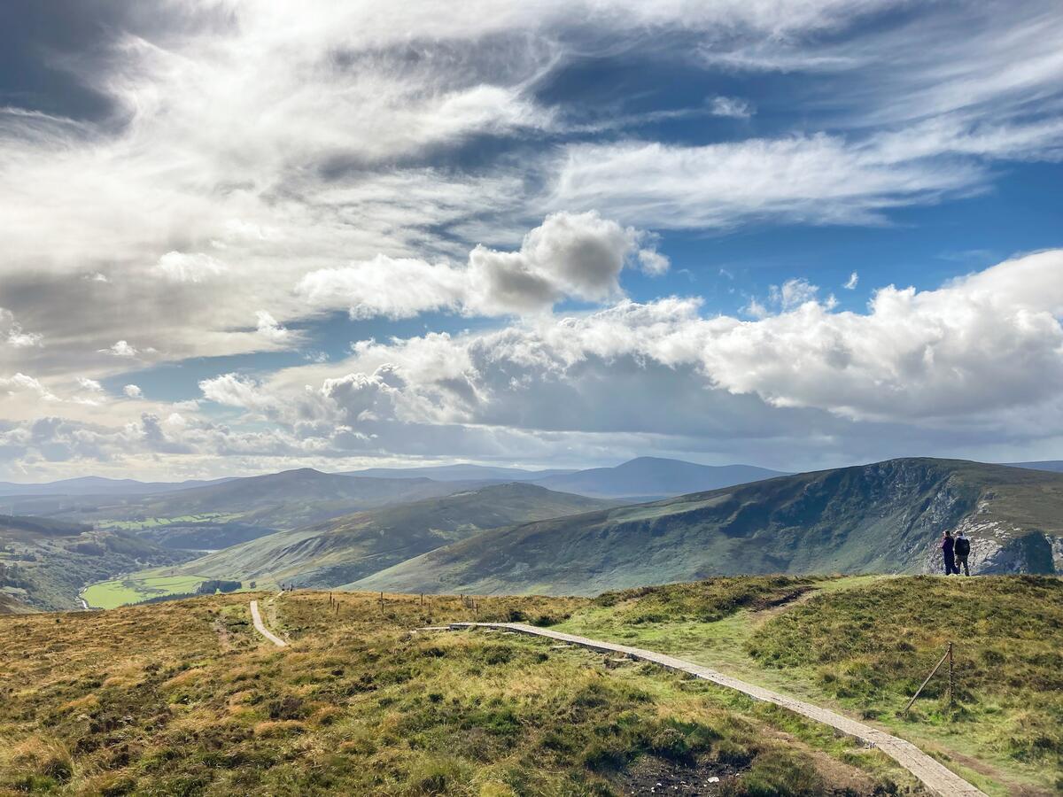
- Panoramic views – On a clear day you can see the rolling hills of south‑west Wicklow, the River Barrow valley, the silhouette of the Wicklow Mountains and, in the distance, the Blacktrench Bog.
- Wildlife – The site is a quiet spot for bird‑watching; visitors often hear and see a variety of songbirds.
- Photography – The dry‑stone inner circle and the surrounding countryside provide excellent photo opportunities, especially at sunrise or sunset.
- Interpretation – A solitary information board gives a brief overview; for deeper research the Heritage Environment Viewer offers an interactive map of the monument’s layout and recorded finds.
Nearby Attractions
Rathgall sits within easy reach of several other Wicklow highlights:
- Baltinglass Abbey – The impressive ruins of a 12th‑century Cistercian abbey, just 12 km north‑west (see Baltinglass).
- Black Castle – A dramatic rocky headland ruin on the coast, about 25 km south‑west (see Black Castle).
- Avoca Valley – Scenic walks along the River Avoca and the historic hand‑weaving mill (see Avoca Valley).
- Avoca Handweaving Mill – A working mill where you can see traditional weaving in action (see Avoca Handweaving Mill).
- Chocolate Garden of Ireland – A family‑friendly attraction a short drive away, offering a chance to sample locally made chocolate.
Practical Information
Rathgall Hillfort is an unguided, open‑air site.
| Item | Details |
|---|---|
| Admission | Free |
| Opening | Open daily, all daylight hours (unstaffed) |
| Parking | Small on‑site car park (free) – limited spaces, arrive early in peak season |
| Facilities | No café or toilet on site; use facilities in Tullow or nearby villages |
| Accessibility | Uneven ground, wooden stiles and moderate walking; best suited to able‑bodied visitors |
| GPS | 52.803644, -6.66338 |
| Contact | Office of Public Works – https://www.opw.ie |
Because the site is not staffed, visitors should take care when navigating the stiles and keep a safe distance from the ancient walls. Pack water, a snack and a picnic if you wish to linger, and remember there are no toilets on the premises.