Overview
The River Bracken, known in Irish as An Abhainn Dubh, is a modest but picturesque waterway in the heart of County Wexford. Its headwaters emerge from two principal springs in the townlands of Ballymore and Knockrobin Upper, perched on Carrig Rua (Carrigrew) – a hill that rises to roughly 200 m above sea level. From this lofty start the river descends through a gently rolling valley, threading its way past historic townlands and woodlands before turning east at the junction of Tullabeg, Whitewell, and Ballydaniel. Here it bends toward its confluence with the Ounavarra River at Springmount, a meeting point that ultimately leads the waters to the Irish Sea at Kiltennel Beach, Courtown.
History & Landscape
While the Bracken River has never been a major commercial artery, its landscape is steeped in local heritage. The river’s name, Dubh (black), reflects the dark, peaty waters that flow over limestone and sandstone bedrock typical of the region. Over centuries, the river has shaped settlement patterns, providing water for agriculture and acting as a natural boundary between townlands.
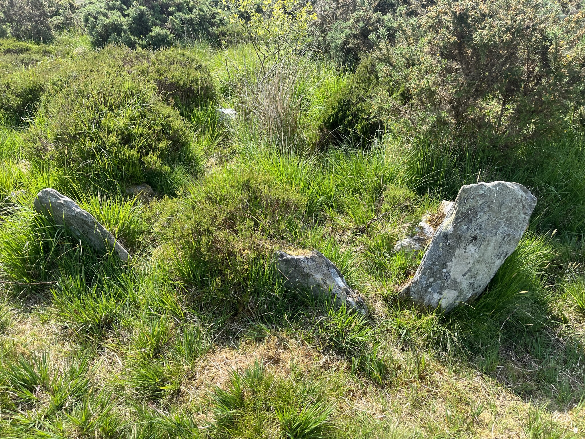
Two notable tributaries join the Bracken near Barnadown Wood. The northern tributary is locally known as the river at Cain Bridge, crossing the Ballyoughter‑to‑Clough road north of Tubberneering. The southern tributary arrives a few hundred metres downstream, crossing Worlough Bridge and Cranacrower Bridge before merging with the main channel. These smaller streams contribute to the river’s modest flow, especially after rain, and support a variety of riparian habitats.
In recent years, the river has featured in urban‑green planning for the nearby town of Balbriggan (County Dublin). A development proposal for De Bruns (6A‑14 Bridge Street) includes a linear green park that runs alongside the River Bracken, linking pedestrian and cycle routes to the Mill Pond Park and the historic harbour area. This illustrates how the river’s corridor is being recognised as a valuable ecological and recreational asset beyond its immediate rural setting.
Flora & Fauna
The river’s banks are lined with native trees such as hazel and ash, while spring brings a carpet of wildflowers in the surrounding woodlands. Birdwatchers often spot kingfishers darting over the water, herons wading in the shallows, and swallows that nest in the eaves of nearby farm buildings. The clear pools support small fish, minnows and amphibians, making the site attractive for quiet wildlife observation.
What to See & Do
| Feature | Details |
|---|---|
| Source | Carrig Rua (200 m ASL) – offers panoramic views of the Ballyoughter valley. |
| Key Bridges | Cain Bridge (north tributary), Worlough Bridge, Cranacrower Bridge – each provides a scenic crossing point and photo opportunity. |
| Woodland Walks | Barnadown Wood and surrounding riparian zones host native flora such as hazel, ash, and occasional wildflowers in spring. |
| Virtual Exploration | A Virtual Tour of the route of the Bracken River lets visitors follow the river from source to sea via Google Earth. |
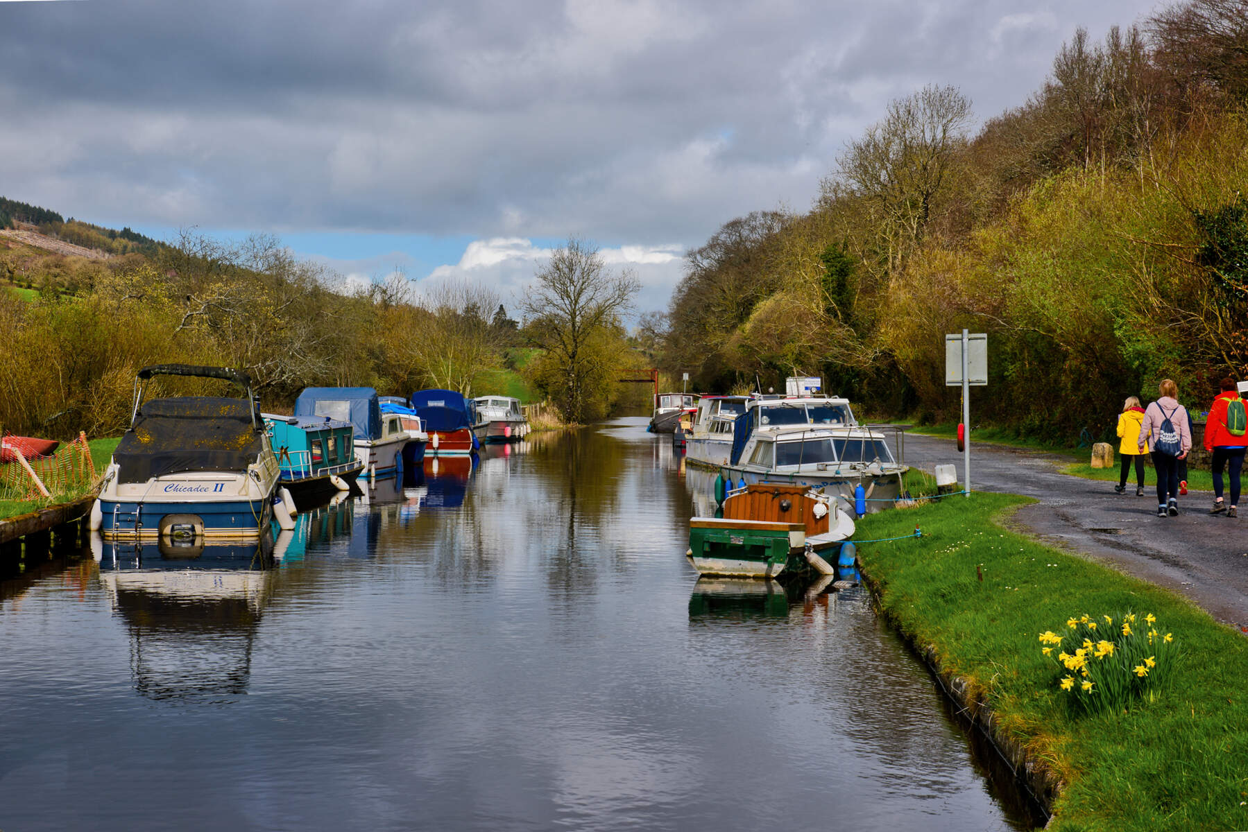
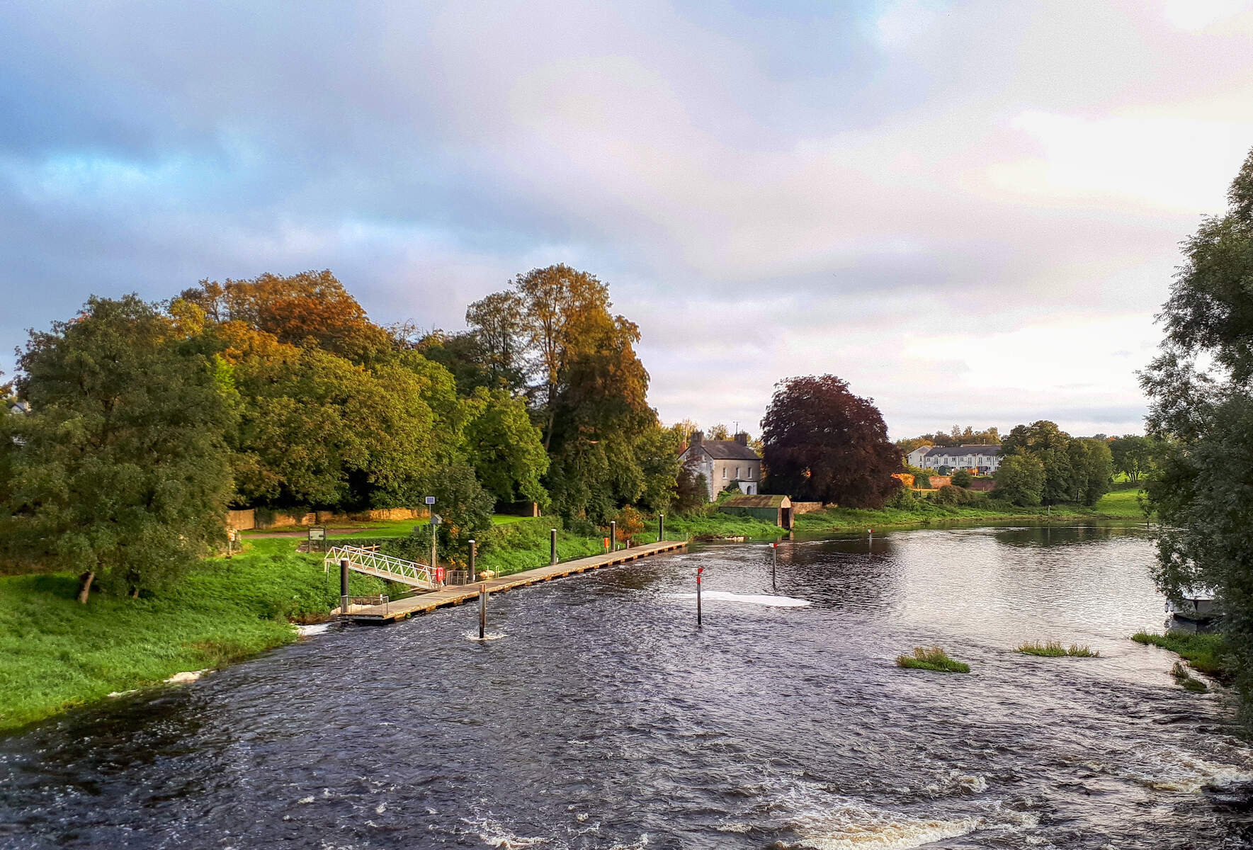
| Confluence | Springmount – where the Bracken meets the Ounavarra, a tranquil spot ideal for a quiet pause. |
Walkers can follow the river’s course on foot, using local footpaths that link the bridges and woodlands. The route is relatively flat, making it suitable for families and casual hikers. Birdwatchers may spot kingfishers, herons, and occasional swallows that hunt along the water’s edge. The river’s clear pools are home to small fish and amphibians, offering opportunities for gentle wildlife observation.
Practical Information
The River Bracken is a natural feature with no formal admission fee and no set opening hours; it is open to the public year‑round. Access points are primarily via the minor roads that cross the bridges mentioned above. Parking is limited to roadside lay‑bys; visitors should respect private property and follow any local signage.
For those interested in a guided experience, the Balbriggan development plans include future signage and interpretive panels along the green corridor, though these are still in the planning stage. Until then, self‑guided walks are the norm. The virtual tour linked above provides a useful orientation tool, especially for visitors unfamiliar with the area.
Because the river flows through agricultural land, water levels can vary seasonally. The tributaries swell after rainfall, creating a more vigorous flow, while summer months may see a gentler current. The surrounding woodlands can become muddy after wet weather, so sturdy footwear is advisable for those planning longer walks.
The River Bracken lies a short drive from the historic riverside town of Bunclody, offering an additional option for a lunch stop or a longer day out in the region.
Overall, the River Bracken offers a peaceful slice of Irish countryside, perfect for a leisurely stroll, a quiet spot for sketching, or a gentle introduction to the natural heritage of County Wexford.