Overview
The River Duag is a modest but charming river that threads its way through the heart of County Tipperary, Ireland. Originating in the low‑lying hills south of Clogheen, it flows eastward until it meets the River Tar between the villages of Clogheen and Ballyporeen. The Tar, in turn, is a tributary of the mighty River Suir, linking the Duag to one of Ireland’s most celebrated salmon rivers. Though the Duag is not a large waterway, its clear, shallow channel provides a peaceful setting for walkers, anglers and anyone seeking a slice of rural Irish tranquillity.
History & Background
Historically the Duag has been part of the agricultural landscape that has sustained the people of South Tipperary for centuries. Its waters have powered small mills and watered pastures, while its confluence with the Tar has long been a natural crossing point for local traffic. In contemporary times the river has gained a reputation among anglers: the broader Suir‑Tar‑Duag system is recognised by the Cahir Angling Centre as a “high‑quality game fishery”, offering opportunities for trout and salmon fishing in a relatively unspoiled environment.
What to See & Do
Walking the Clogheen Loop
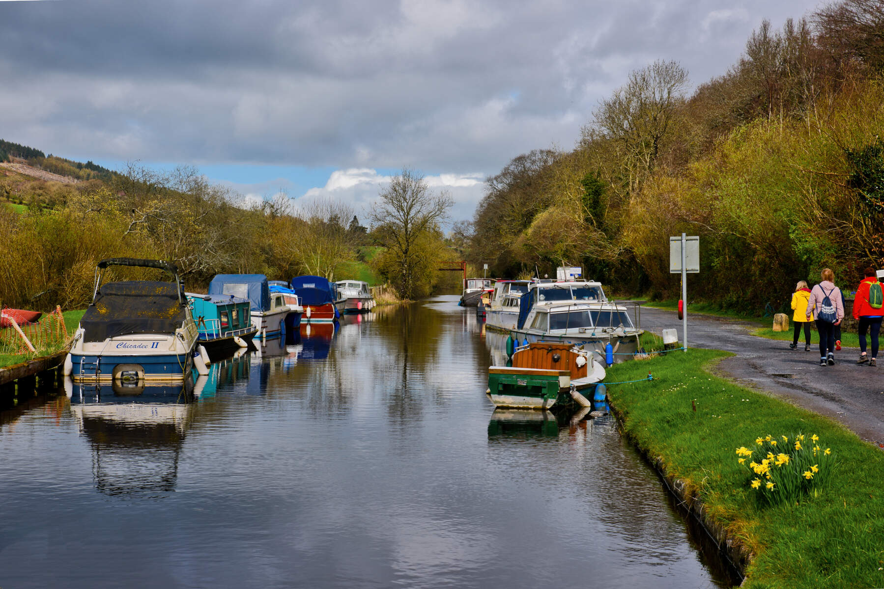
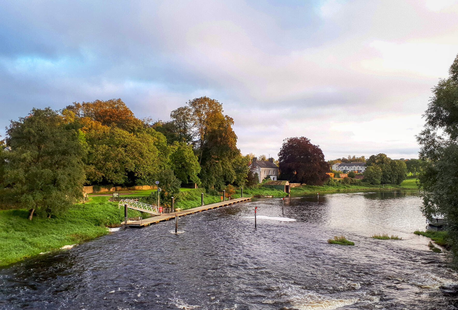
One of the most rewarding ways to experience the River Duag is to tackle the Clogheen Loop, a 7.8 km (2‑hour) moderate‑grade circuit that skirts the lower slopes of the Knockmealdown Mountains. The trail starts and finishes at St. Paul’s Community Centre in Clogheen (coordinates 52.276497, ‑7.994364) and weaves through a mixture of forest tracks, quiet country roads and open pasture. Along the way, walkers cross the River Duag on a low‑tech footbridge, offering a perfect spot for a brief pause to listen to the water’s gentle murmur.
| Feature | Detail |
|---|---|
| Length | 7.8 km |
| Estimated time | 2 hours |
| Ascent | 180 m |
| Start / Finish | St. Paul’s Community Centre, Clogheen |
| Highlights | River Duag crossing, Reigh Cemetery, panoramic views of the Galty Vee Valley |
The loop also passes the historic Shanrahan Cemetery, adding a touch of local heritage to the natural scenery. For those seeking a longer adventure, the 13 km “Clogheen Loop – The Loop” offered by Vee.ie adds extra forest tracks and a higher ascent (300 m), taking walkers over the Duag and through rhododendron‑filled valleys with sweeping vistas of the Galty Vee, Comeragh and Slievenamon ranges.
Angling
Anglers will find the Duag’s clear waters ideal for fly‑fishing and spinning. The river forms part of the Suir‑Tar‑Duag fishery complex, which is promoted by the Cahir Angling Centre as a “centre of excellence” for game fishing. While specific licence fees are set by Inland Fisheries Ireland, the river’s low‑traffic nature means anglers often enjoy a quieter experience compared with the busier Suir stretches.
Wildlife Watching
The riparian zone along the Duag supports a variety of birdlife, including kingfishers, grey herons and occasional sandpipers during migration periods. The surrounding woodlands are home to red squirrels, badgers and a host of butterfly species, making the river corridor a modest but rewarding spot for nature enthusiasts.
Seasonal Highlights
The Clogheen Loop is accessible year‑round, but the most vivid wild‑flower displays – especially rhododendrons – appear in late spring and early summer. Photographers favour the soft light of early mornings in May, when the valley glows with colour and the river surface often mirrors the surrounding hills. Autumn brings a palette of gold and amber, and the quieter post‑harvest period can be ideal for anglers seeking salmon runs.
Practical Information
Getting there – Clogheen is well‑served by the Bus Éireann network, with daily services linking the village to Clonmel, Cork and Kilkenny. From the town centre, the St. Paul’s Community Centre provides a convenient parking area for walkers and anglers alike (limited spaces, arrive early in peak season).
Walking routes – Detailed maps for the Clogheen Loop are available from the Knockmealdown Active website and can be downloaded as a PDF (Clogheen Loop.pdf). The route is way‑marked with standard black plates bearing a green arrow, ensuring easy navigation even for first‑time visitors.
Angling licences – Angling on the Duag falls under the jurisdiction of Inland Fisheries Ireland. Visitors should obtain a National Angling Licence (available online) and, where applicable, a local permit from the Cahir Angling Centre. Seasonal restrictions may apply to protect spawning salmon and trout.
Facilities – After a walk or a day of fishing, the Clogheen Community Hall offers a cosy venue for a hot meal and occasional live music sessions, providing a genuine taste of local hospitality.
Safety – The River Duag’s flow is generally gentle, but water levels can rise after heavy rain. Walkers should stay on marked paths and respect any temporary signage indicating high water or erosion‑prone sections.
Nearby Attractions
The Duag’s proximity to the River Tar and the River Suir opens up further exploration opportunities. A short drive brings you to Cahir Castle, a well‑preserved medieval fortress perched on the Suir, and the historic town of Cahir itself. The Mitchelstown Caves, a spectacular limestone system, are also within easy reach for a day‑trip.
Accessibility & Parking
The footbridge crossing the Duag on the Clogheen Loop is suitable for most walkers, though it is not wheelchair‑accessible due to its low‑tech design. Parking is available at St. Paul’s Community Centre (free, limited spaces) and at the nearby Clogheen Sports Field (pay‑and‑display). Dogs are welcome on the trail but should be kept on a lead near the water’s edge.