Overview
County Armagh is blessed with two modest yet captivating watercourses – River Knappagh and River Tall. The Knappagh threads quiet, green valleys dotted with Atlantic oak woodlands such as Brackloon Wood, whereas the Tall, reshaped by a mid‑19th‑century canal cut, flows past the historic villages of Markethill, Richhill and Ballyhegan before joining the Blackwater. Both rivers offer tranquil scenery, easy‑grade trails and opportunities for fishing, birdwatching and paddling, making them ideal for families and casual outdoor enthusiasts.
History & Background
River Knappagh
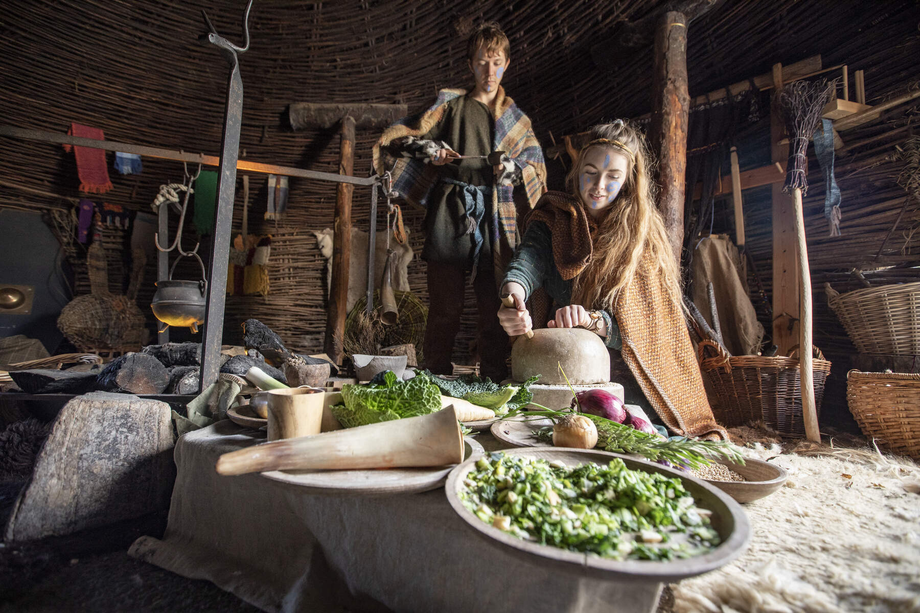
- The Knappagh valley has long been a human corridor. Nearby Navan Fort (Emain Macha) – a pre‑Christian royal site steeped in Irish mythology – testifies to ancient settlement.
- In the 19th century the river powered small mills and supplied water for agriculture; its name appears in local records of that era.
- The Caledon Beam Engine, the last surviving beam engine in Ireland, stands near the river as a reminder of the region’s wool‑mill heritage and the engineering ambition of the period.
River Tall
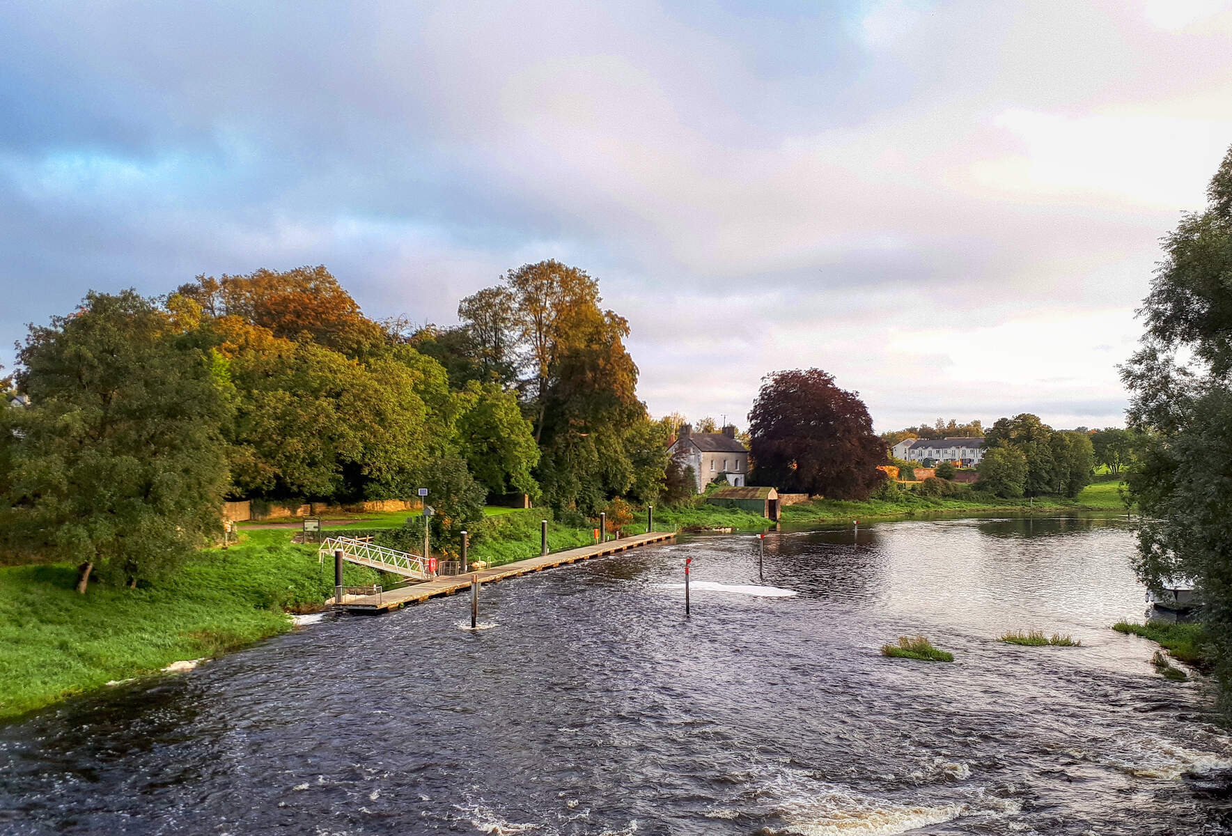
- Originally the Tall emptied into the River Callan at Fairlawn Bridge. Between 1851 and 1854 a man‑made cut – locally called the canal – was excavated to divert the Tall directly into the Blackwater, creating the present lower reach.
- A second cut in 1855 briefly linked the Callan to the Tall via a weir at Clonmain Mill, but the engineered channel quickly became the dominant course.
- Historical OSNI maps label the former natural channel as the “Old Course of the Tall”, remnants of which can still be traced near Fairlawn Bridge.
- The river’s banks are lined with mature alder and willow, supporting kingfishers, otters and fish such as brown trout and pike.
Activities
Riverside Walks (River Knappagh)
| Route | Distance | Approx. Time | Elevation Gain | Difficulty |
|---|---|---|---|---|
| Brantry Lough and Wood | 3.10 mi | 1 h 18 min | 125 ft | Easy |
| Benburb Valley Park (along the Blackwater) | 2.85 mi | 1 h 14 min | 200 ft | Easy |
| Brantry Lough loop from Lough Macronan | 1.52 mi | 38 min | 25 ft | Easy |
| Carroll’s Wood loop from Armagh | 3.26 mi | 1 h 24 min | 175 ft | Easy |
| Carroll’s Wood loop from Armagh Observatory | 3.36 mi | 1 h 26 min | 175 ft | Easy |
All routes are marked on Komoot and can be downloaded for offline navigation. Signposts along the paths explain the river’s ecology and local history.
Fishing & Wildlife (River Knappagh)
- Brantry Lough, just north of Creevelough, is stocked with brown trout year‑round; anglers may launch a small boat or wade in shallow sections.
- The lough and riverbanks attract waterfowl, kingfishers and, in early mornings, otters.
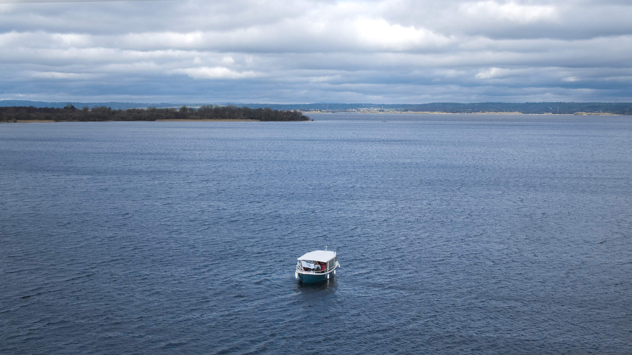
Canoeing & Dinghy‑ing (River Tall)
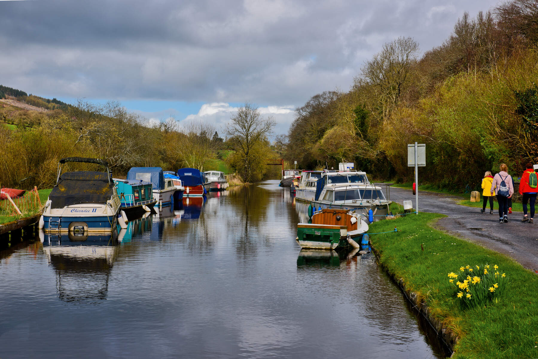
- A calm, four‑kilometre stretch between the canal’s interception point and the Blackwater is ideal for gentle paddles.
- Launch from informal banks near Richhill or the slipway close to Verner’s Bridge; water levels remain reliable throughout most of the year.
Fishing (River Tall)
- Deeper pools near the Blackwater confluence hold brown trout and pike. No licence is needed for private angling on the Tall, though a national licence is required for fishing in the Blackwater.
Birdwatching (Both Rivers)
- Alder‑lined banks host kingfishers, grey herons and occasional sandpipers.
- Early‑morning visits increase the chance of spotting otters and other wildlife.
Practical Information
Access & Parking – Small car parks are available at Brantry Lough (Knappagh) and near Richhill for Tall paddlers. Both sites have basic facilities and are sign‑posted from the A28 road.
Public Transport – Regular bus services run from Armagh city to Creevelough and Richhill, making the river access points reachable without a car. The flat terrain also suits hybrid and road bikes.
Maps & Navigation – Download the routes on Komoot or use OSNI Explorer maps (sheet 44). The historic Tall canal cut is marked on OSNI Historical Second Edition (1846‑1862).
Licences – Angling on private stretches of River Knappagh and River Tall requires the Irish Angling Licence only if fishing beyond private land. Blackwater fishing needs a separate licence.
Safety – Water levels can fall after prolonged dry spells on the Tall’s navigable stretch; check local conditions before paddling. Wear sturdy footwear on woodland trails and keep to marked paths near the beam‑engine site.
Seasonality – Both rivers are pleasant year‑round, but spring and early summer offer the best wildlife viewing and fishing conditions.
Nearby Attractions
While exploring the rivers, consider adding these short detours:
- Armagh City – historic cathedral city with the famous Armagh Observatory and Robinson Library.
- Armagh County Museum – showcases local history, including the region’s industrial heritage.
- Ardress House – an 18th‑century National Trust house set in beautiful parkland, a pleasant walk from the river valleys.
- Gosford Forest Park – extensive woodlands and trails ideal for a longer hike after a river walk.
- Ballymoyer Woodland – another nearby forested area with walking routes and historic ruins.
These sites can be combined into a full‑day itinerary, offering a mix of natural scenery, heritage and leisure.
Enjoy the gentle flow, historic ambience and natural beauty of County Armagh’s River Knappagh and River Tall – a perfect blend of Irish heritage and outdoor recreation.