Overview
River Nire is a gin‑clear spate (freestone) river that springs from the slopes of the Comeragh Mountains and slices a 7 km, 30‑40 ft wide corridor through the Nire Valley before joining the River Suir. Mature oak and ash line its banks, forming deep pools that shelter wild brown trout. The valley itself stretches south‑west of Dungarvan, a lush ribbon of woodlands, open fields and sparkling water that attracts anglers, walkers, kayakers, birdwatchers and anyone seeking a quiet slice of Irish countryside.
History & Landscape
The river’s modern fame rests on sport fishing, yet it holds a literary footnote: 17th‑century scientist Robert Boyle is said to have once cast a line in its waters. The Nire Valley has been a natural conduit for travellers between the Comeragh peaks and the coastal towns of Dungarvan and Ardmore. A historic stone bridge near Hanora’s Cottage still carries traffic as it did centuries ago. The landscape has been shaped by generations of farming, peat cutting and modest settlement, with the villages of Ballymacarbry and surrounding farms preserving a traditional way of life while welcoming visitors.
What to See & Do
Angling
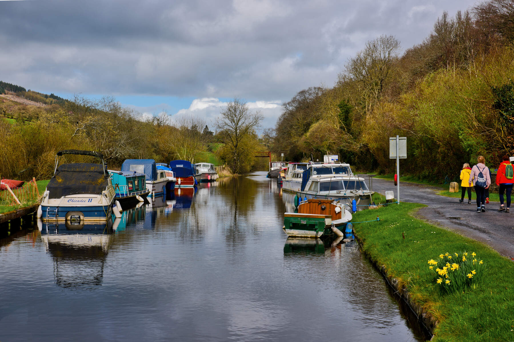
River Nire supports a healthy stock of native brown trout ranging from 20 cm to 40 cm, with occasional larger specimens on summer evenings. It is fished mainly on dry flies and nymphs; key hatches include BWO, spur‑wings, sedges, stoneflies and a generous array of terrestrials. Popular patterns are Comparaduns, Klinkhammers, Elk‑hair caddis, Black gnat and small bead heads (size 12‑22).
Guided fishing is provided by Clonanav Fly Fishing, offering beat‑by‑beat instruction, equipment hire (rods, waders, lines) and a stocked store of local patterns. Recommended rod set‑ups are 8.5‑9 ft 3‑wt for dry fly, 9 ft 4‑wt for dry & dropper, and 10 ft 2/3‑wt for Euro nymphing; tippet sizes move from 5X early season to 7X as the water clears.
Walking & Hiking
The Nire Valley is a hub for way‑marked loops that start from the Nire Valley Car Park near Ballymacarbry. All routes are signposted with coloured arrows and dogs are prohibited to protect the delicate river ecology and nesting birds.
| Trail | Length | Ascent | Estimated Time | Grade |
|---|---|---|---|---|
| Coumlara Looped Walk | 6.6 km | 350 m | 3 h 30 min | Strenuous |
| Coumduala Loop | 8.0 km | 540 m | 4 h | Strenuous |
| Nire Valley Loop (Comeragh) | 18 km | 906 m | 6.5 h | Moderate‑to‑strenuous |
- Coumlara Looped Walk – sand roads, woodland tracks and a footbridge over the River Nire, climbing to the Sgilloges Lakes with a short side‑trip adding a 30‑minute ascent.
- Coumduala Loop – tackles the lower Comeragh slopes, passes The Gap and climbs part of Knockanaffrin Ridge, offering views of Slievenamon on clear days.
- Nire Valley Loop – an 18 km traverse of varied terrain, delivering panoramic vistas of corrie lakes, high ridges and the sweeping Munster plains.
Kayaking & White‑water
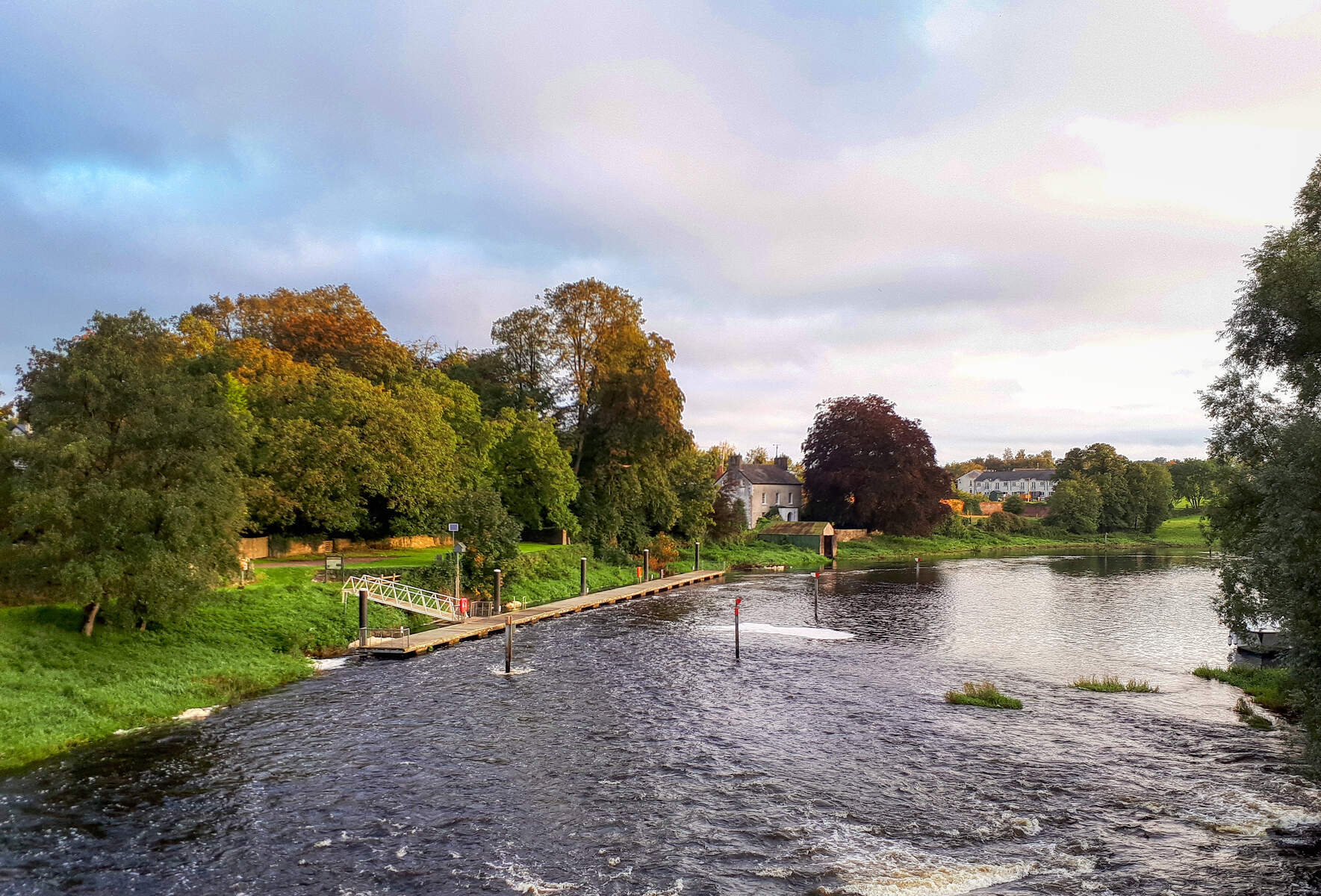
River Nire is graded Grade 3, best after recent rain. The stretch from Birtchels Bridge downstream provides short rapids, shallow boney pools and a few sticky sections. Paddlers can launch at Birtchels Bridge and collect at the boarded‑up old town hall in Ballymacarbry. A creek boat works at low levels, but a playboat or small kayak is recommended when the water is high.
Birdwatching
The mosaic of woodlands, wetlands and open fields supports meadow pipits, skylarks and winter visitors such as whooper swans on the nearby lakes. Early mornings from the car park or along the lower tracks give excellent viewing opportunities.
Scenic Drive & Local Culture
The Nire Valley forms a picturesque segment of the Munster Vales Scenic Drive, a 230 km loop linking the Comeragh Mountains with coastal towns. After a day on the water, visitors can unwind with a pint of Guinness at James Lonergan’s in Ballymacarbry, soaking up the warm hospitality of the valley.
Getting There & Parking
The main entry point is the Nire Valley Car Park (off the R672) near Ballymacarbry. Parking is free but limited in summer; arrive early during peak weekends. The car park provides public restrooms and a small café. The valley is about 20 km south‑west of Waterford city; the drive takes roughly 30 minutes via the R672. Public transport options are limited – the nearest bus stop is in Ballymacarbry, with services to Dungarvan and Waterford. A taxi or hire‑car is the most reliable way to reach the launch points.
Nearby Attractions
While exploring the Nire Valley, consider a short detour to the historic village of Ballymacarbry, the coastal charm of Dungarvan, or the cliff‑top walks at Ardmore. Each offers additional dining, cultural sites and scenic viewpoints that complement a day on the river.
Practical Information
- Access: Nire Valley Car Park (R672) – free, limited spaces in summer.
- Guided Services: Clonanav Fly Fishing handles angling trips, equipment hire and fly‑tying advice.
- Kayak Launches: Put‑in at Birtchels Bridge; take‑out near the old town hall in Ballymacarbry.
- Dog Policy: Dogs are not allowed on the marked walking routes to protect wildlife.
- Best Times: Angling peaks from late spring to early autumn; kayaking is most enjoyable after rain when water levels rise; birdwatching is rewarding year‑round, especially in winter.
- Safety: River levels can rise quickly; check local weather and water reports before paddling or walking in high‑flow conditions.
- Facilities: Restrooms at the car park, a small café at James Lonergan’s, and a local shop in Ballymacarbry selling basic supplies.
Enjoy the crystal waters, rugged trails and tranquil countryside that make River Nire and the Nire Valley a hidden gem of Waterford.