
Overview
Scrabo Hill rises above the town of Newtownards in County Down, offering one of Northern Ireland’s most photographed panoramas. At its summit sits Scrabo Tower, a 19th‑century landmark that crowns the hill and frames sweeping views across Strangford Lough, the Mourne Mountains and the surrounding countryside. The hill is set within Scrabo Country Park, a freely accessible green space that combines historic intrigue, geological wonder and gentle woodland walks.
History
The tower was erected between 1857 and 1859 as a memorial to Charles William Stewart, 3rd Marquess of Londonderry. Originally called the Londonderry Monument, it was designed in the Scottish‑Baronial style by the partnership of Charles Lanyon and William Henry Lynn. At 135 ft (41 m) high, the tower was intended to be visible from Mount Stewart and from ships on Strangford Lough. It is listed as a Grade B+ building (1977).
Funding was raised by public subscription – 730 local tenants, gentry and even Napoleon III of France contributed. The original budget of £2 000 was exceeded; the final cost was £3 010, and the contractor went bankrupt, leaving the interior unfinished. The tower’s interior was opened to the public in the 1980s but has been closed since April 2014 because of water‑damage to its electrical system. Today visitors can explore the exterior and enjoy the surrounding park.
The name Scrabo derives from the Irish screabach meaning “thinly covered rock” or “rough stony land”. Earlier spellings such as Scrabock appear in 16th‑century documents. An alternative Irish derivation – scraith bó – translates as “cow pasture”, reflecting the hill’s historic use for summer grazing.
Archaeological surveys have identified a substantial hill‑fort and numerous hut circles on the summit, indicating a thriving community from the late Neolithic through the Iron Age – a settlement that may have lasted over a thousand years. A now‑destroyed cairn, once thought to be a portal dolmen, stood near the summit; during the 19th century its capstone collapsed, revealing a hoard of Viking coins minted around the time of the Battle of Clontarf (c. 1015), one of Ireland’s most important Viking hoards.
In the 18th and early 19th centuries a small clachan (farmstead) existed near the present‑day clubhouse. Local historian E. M. Griffith recorded a photograph of a resident called “Molly” in the late 1800s. Historical accounts also mention a deer‑park on the hill, bounded by a stone bank that may have served as a fence.
Geology
The hill is composed of Triassic sandstone formed when the area lay on the edge of a desert 160‑190 million years ago. Subsequent Tertiary intrusions of dolerite created vertical dykes and horizontal sills that are now exposed in the disused quarries. The hard dolerite cap protected the summit from glacial erosion, giving Scrabo its distinctive shape.
The quarries, active from Anglo‑Norman times, supplied the famous “Scrabo sandstone” used in over 100 historic buildings, including Belfast Castle, the Albert Clock, Belfast Royal Academy and the Dominican Friary in Newtownards. The site is designated an Area of Special Scientific Interest for its clear exposure of these geological features.
Flora & Fauna
Scrabo Country Park supports a varied wildlife community. The open heath and scrub provide nesting sites for ravens, jackdaws, kestrels and peregrine falcons that can often be seen soaring over the quarries. In recent years a volunteer‑led “Dragons in the Hills” project, funded by the Heritage Lottery Fund, has created additional basking stones and a hibernaculum for the common lizard – the only native terrestrial reptile in Ireland. The work has helped increase the lizard population after scrub encroachment reduced suitable habitat.
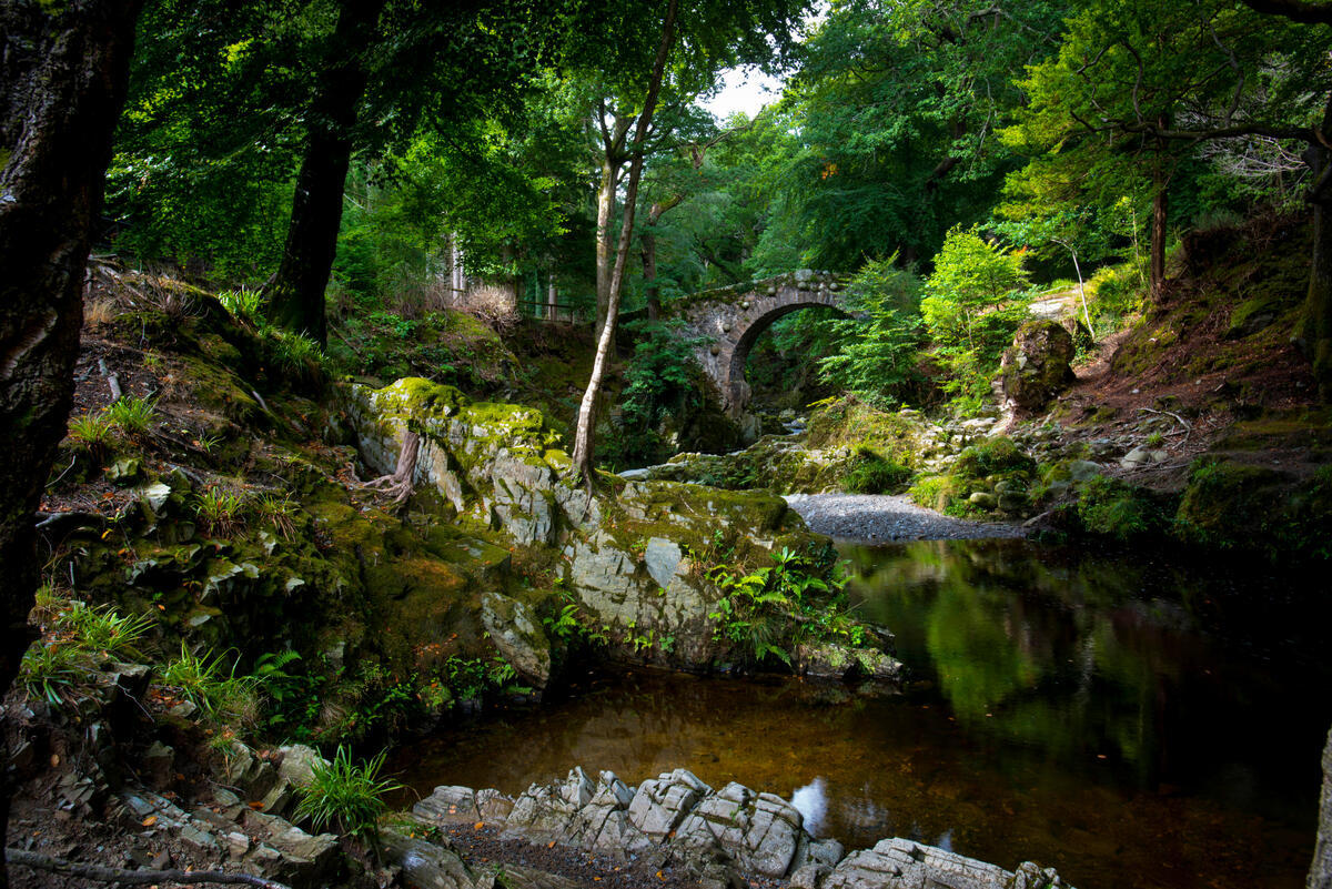
In spring, Killynether Wood bursts into colour with bluebells, wood anemones and a carpet of hazel leaves, making it a favourite spot for nature‑photographers.
What to See & Do
- Scrabo Tower – View the stonework and memorial plaque from the base. The interior is currently closed.
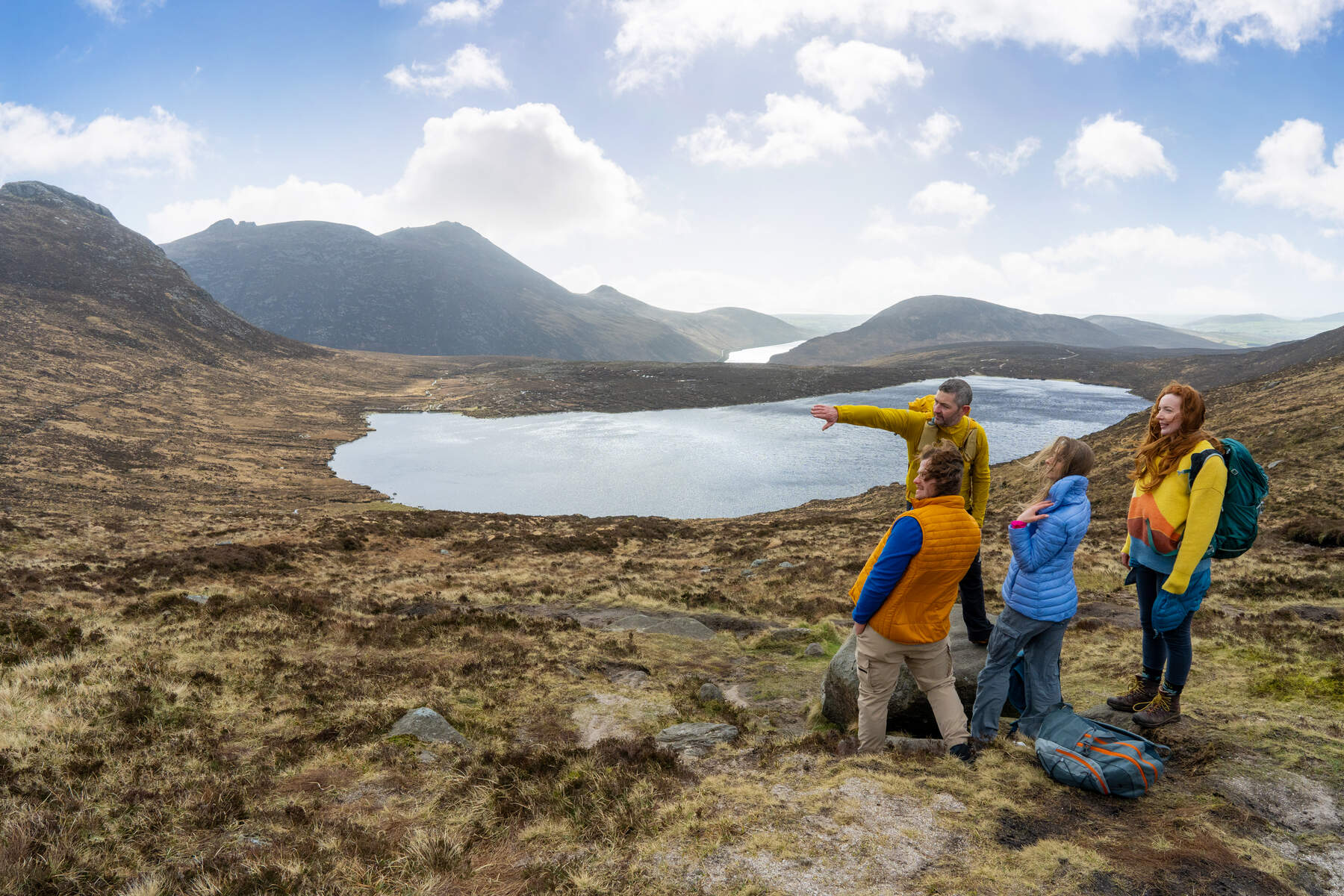
- Panoramic Vistas – The short, steep path to the summit provides 360° outlooks over Strangford Lough, Belfast Lough and the Mournes. Photographers favour the golden hour.
- Quarry Walks – Marked routes lead to the South and North quarries, where nesting birds can be observed. Interpretive signs explain the dykes and sills.
- Killynether Wood – A beech‑ and hazel‑dominated woodland carpeted with bluebells and wood anemones in spring.
- Picnic & Relaxation – Benches and a sheltered table near the car park make a pleasant spot for a packed lunch.
- Archaeology Trail – Follow the signs to the hill‑fort remains and the former cairn site; information boards detail the prehistoric settlement.
- Cycling – The ascent from the Comber bypass is a popular 0.8 km climb with an average gradient of 10.7 % and a maximum of 15.6 % (Climbfinder). It is graded as a 4th‑category climb, suitable for a quick training effort.
Seasonal Highlights
- Spring – Bluebells carpet Killynether Wood; birdwatchers can spot migrating raptors.
- Summer – Long daylight hours make the summit walk ideal for families; the tower’s silhouette is striking at sunset.
- Autumn – The surrounding farmland turns gold, offering dramatic contrast to the stone tower.
- Winter – Clear, crisp days often give the longest views across the Irish Sea to Scotland and the Isle of Man.
Nearby Attractions
- Ardglass – A historic coastal village with a medieval castle and a renowned links golf course, about a 15‑minute drive north.
- Ballyhalbert – The easternmost village in Ireland, offering sandy beaches and coastal walks, roughly 20 minutes away.
- Castle Espie Wetland Centre – A short drive east of the hill, perfect for birdwatching and family outings.
- Crawfordsburn Country Park – Coastal walks and a waterfall, about 20 minutes south‑west.
Practical Information
Opening Hours
| Facility | Hours |
|---|---|
| Pedestrian access | 24 hours, 365 days |
| Car parks | 24 hours, 365 days |
| Toilets (including RADAR disabled) | 10:00 – 16:00 |
Admission
| Visitor type | Fee |
|---|---|
| General public | Free |
| Coach parties (must be booked) | Free (parking charges may apply) |
Facilities
- Picnic area with benches and a sheltered table
- Toilet block with RADAR‑enabled disabled toilet
- Free on‑site car parking (grid reference J 475 722). An additional lower‑level car park at Killynether Wood (grid reference J 473 719) provides access for longer walks.
- Dogs allowed on leash
- Wheelchair access: the first 200 m of the circular route is a tarmac path suitable for wheelchair users; the remainder includes gravel, steps and steep sections.
Access & Transport The main car park is reached by signs from Newtownards town centre or the Comber bypass. From the car park a short tarmac track leads to the summit; the rest of the 3.7 km circular walk follows gravel tracks with a set of steps near the North Quarry (currently closed while replacement steps are installed). Bicycles can be parked at the car park; the climb is popular with local cyclists.
Safety & Updates The North Quarry access is temporarily closed pending step replacement. Check the official Discover Northern Ireland page for the latest information before you go.
Contact For enquiries, especially regarding commercial use of the park, email nieainfo@daera‑ni.gov.uk or call +44 (0) 28 9181 1491.
Enjoy a day of history, geology and unrivalled scenery on Scrabo Hill – a free, open‑air attraction that showcases the natural and cultural richness of County Down.