
Overview
Sli na Sláinte (Irish for path of health) is a public‑health initiative launched by the Irish Heart Foundation in the mid‑1990s. The programme places bright yellow signs on blue poles at one‑kilometre intervals along existing footpaths, cycleways and quiet streets. Walkers simply follow the numbered posts, setting their own pace and distance. By 2024 the network comprised over 230 routes nationwide, each free to use and suitable for all ages.
History
The concept was born from research showing that regular, moderate exercise – especially walking – dramatically reduces the risk of heart disease. The Irish Heart Foundation partnered with local authorities to retrofit popular routes with the distinctive signage. The first routes appeared in Galway and quickly spread to urban, coastal and rural settings. Over the decades the scheme has been exported to Sweden, Germany and other countries, but the Irish network remains the most extensive.
What to See & Do
While the core idea is simple – walk and count kilometres – each Sli na Sláinte route showcases local character:
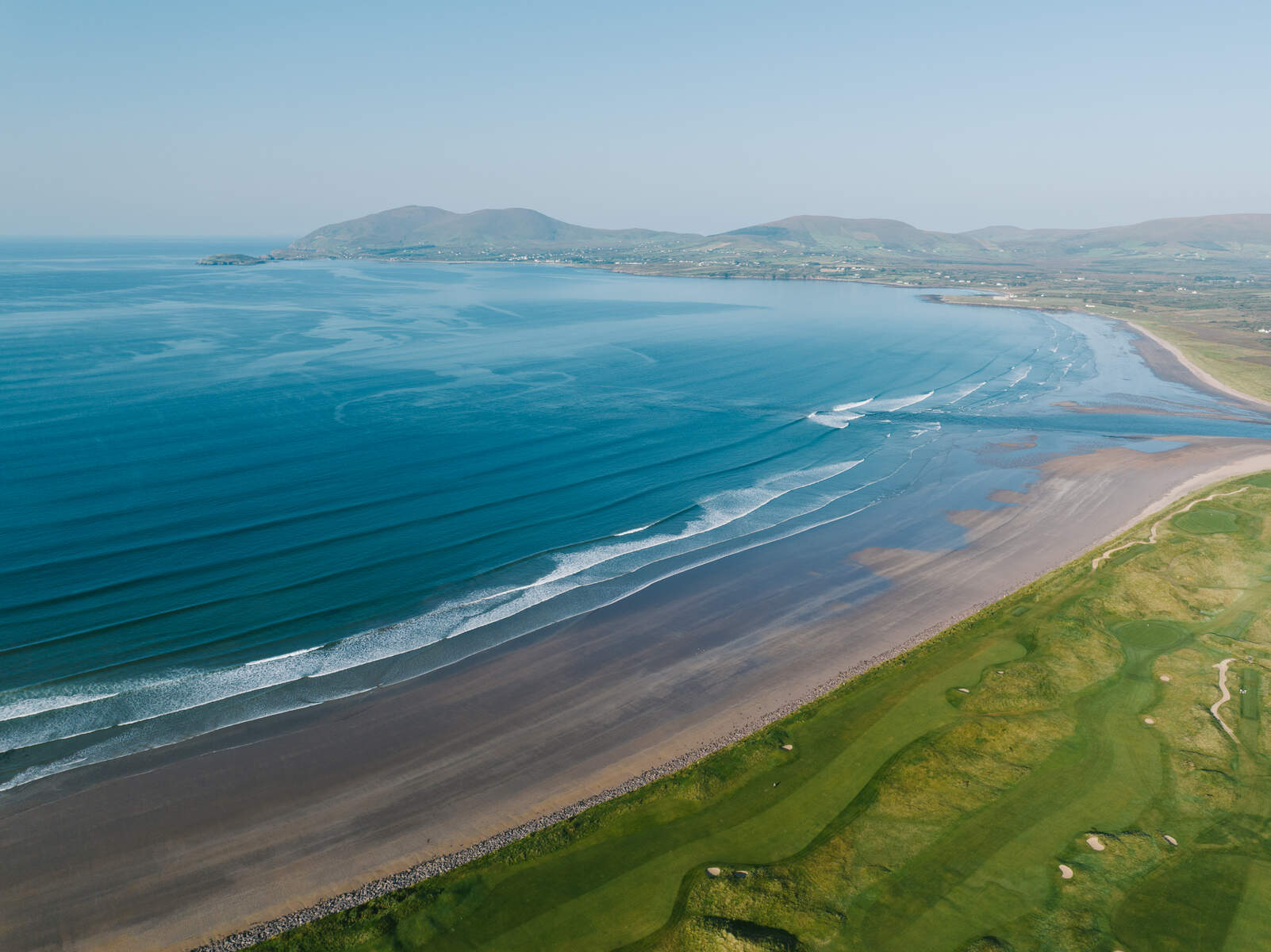
- Tramore, County Waterford – A 4.9 km coastal loop that starts on Church Road, skirts the three‑mile Tramore Strand, passes the historic Metal Man lighthouse pillar and the 1816 Sea Horse tragedy memorial. The route also offers views of high sand dunes, an ancient cannon and a haunted well at The Cove.
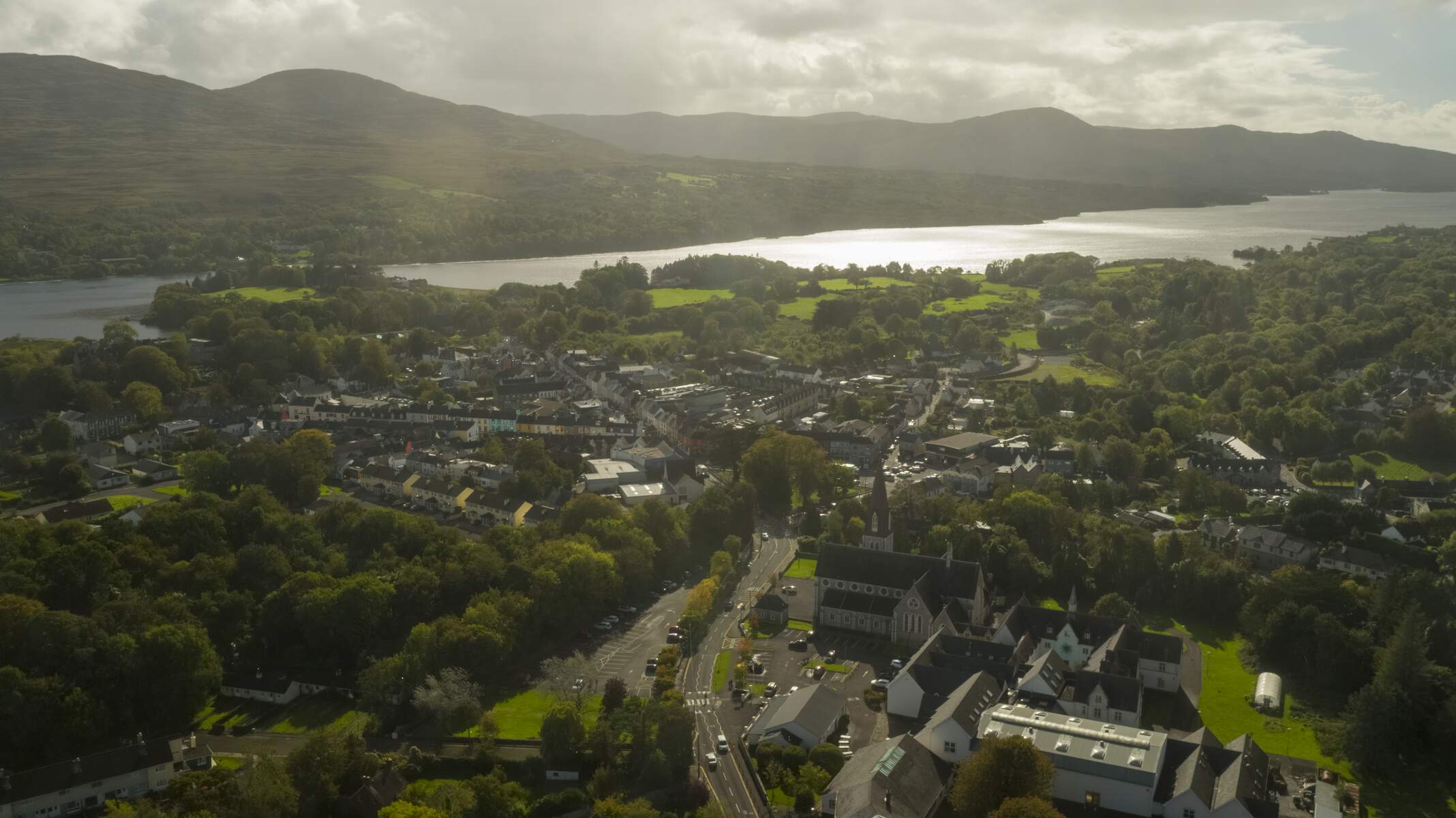
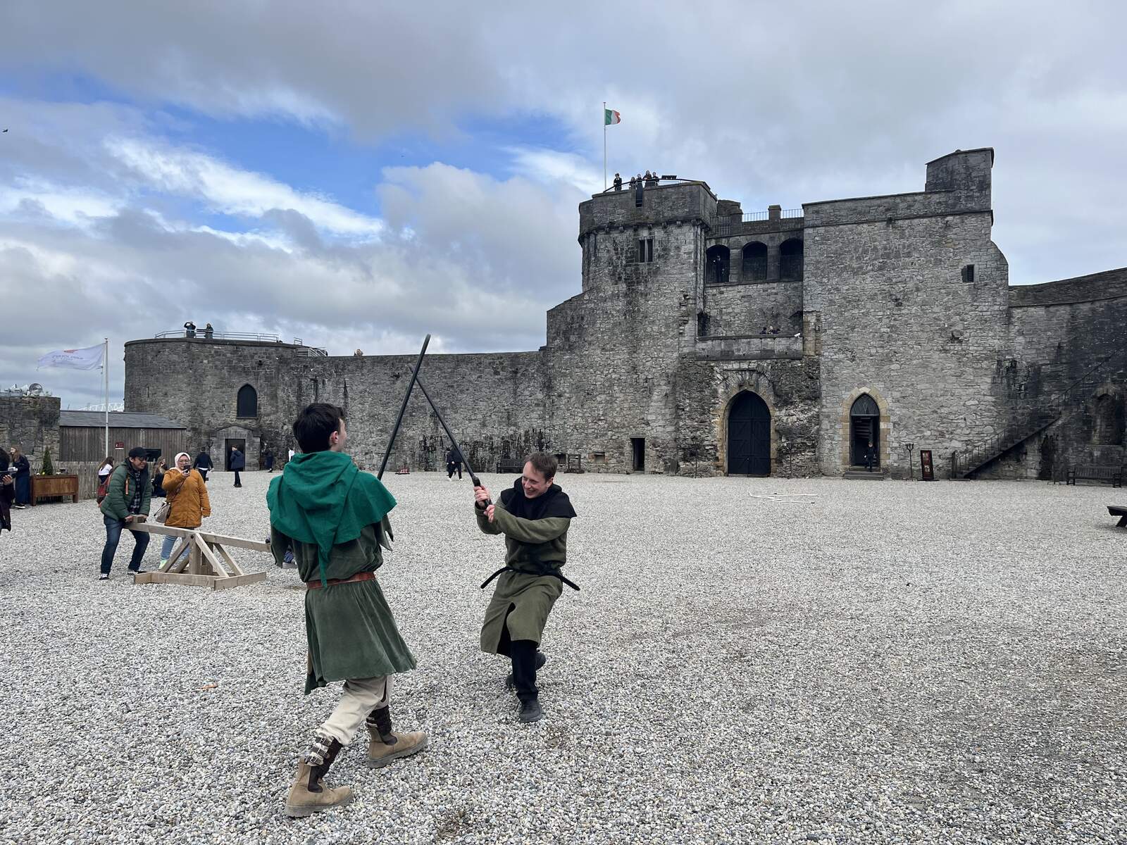
- King’s Island, Limerick City – A 3.3 km easy walk beginning at King John’s Castle, winding past the restored Bishop’s Palace, St Munchin’s Church, the ESB salmon weir and a Special Area of Conservation wetland. The trail finishes where it began, providing a traffic‑free riverside experience.
- Bruff, County Limerick – A 3.5 km newly‑opened path north of town, supported by local sports partnerships. The route is deliberately flat and well‑signposted, encouraging families and seniors to get active together.
- Clane, County Kildare – The main 4.1 km loop starts on Ballinagappa Road and includes an accessible 2 km Abbeylands variant, making it a good choice for wheelchair users or those needing a shorter stroll.
- Mallow, County Cork – An easy 4 km loop that weaves through town streets and green spaces, ideal for a quick health break.
- Portlaoise, County Laois – Three routes ranging from 3 to 5 km, all on flat terrain and clearly marked, perfect for a family outing.
Regional Highlights
County Mayo
Mayo hosts four Sli na Sláinte routes, all marked with the characteristic yellow‑on‑blue posts but without numbers. They are:
- Ballina – 3.2 km loop through riverside paths and town parkland.
- Belmullet – 3.1 km coastal walk offering sea views and a chance to spot seabirds.
- Ceathrú Tháidh – 3 km rural circuit passing fields and a small lake.
- Castlebar – 4.5 km route linking the town centre with the historic market square and surrounding greenways.
PDF maps for each route are available from the Irish Heart Foundation website.
County Westmeath
Two routes have been installed in Westmeath:
- Athlone – A 3.4 km riverside walk along the River Shannon, passing the historic Athlone Castle.
- Mullingar – A 2.9 km loop through the town’s lakeside park and the historic St. Mary’s Church grounds.
Both routes are fully sign‑posted and suitable for families.
Recent Additions – Shannon, County Clare
In April 2024 the Shannon Community Partnership unveiled a 2 km Sli na Sláinte route in the heart of the town. The walk starts beside the fire station, loops around Shannon Town Park and the shopping centre, and finishes at the same point. It is well‑lit, allowing use day or night, and the footpath is public, so walkers can repeat the circuit – five laps equal a 10 km walk. The route links to other local fitness initiatives such as the Couch to 5K programme, the weekly parkrun, and a parkwalk at Illaummanagh. Parking is available at the town centre car park and the route is wheelchair‑friendly.
Move More Walking Challenge
The Irish Heart Foundation runs a national Move More Walking Challenge. Participants log kilometres walked on any Sli na Sláinte route using the free ActiveME app or a paper log. Reaching milestones (e.g., 50 km, 100 km) earns digital badges and can be celebrated in schools, workplaces or community groups.
How to Find a Sli na Sláinte Route
The Irish Heart Foundation website hosts a searchable national route finder where you can enter a town or county to view available routes and download PDF maps. The ActiveME app (iOS & Android) overlays the kilometre markers on a live GPS map, records distance, time and calories, and lets you share results with friends.
Walking Leader Training
The Irish Heart Foundation offers Walking Leader Training courses (nominal fee) up to six times a year. Trained leaders can organise regular group walks, run the Slí Challenge in workplaces or schools, and help maintain the signage. Details and registration are available on the foundation’s site.
Health Benefits & the Slí Challenge
Walking a kilometre‑post route provides a measurable goal that helps people meet the recommended 30 minutes of moderate activity most days. Regular walking improves blood pressure, cholesterol, mood and overall cardiovascular risk. Many towns host a Slí Challenge where participants collect stamps or digital badges after completing a set number of routes, turning a simple walk into a community‑wide health initiative.
Seasonal Tips & Practical Advice
- Weather – Irish weather can change quickly. Bring a waterproof jacket and sturdy shoes, especially on coastal routes where wind and spray are common.
- Dog‑friendly – The majority of routes allow dogs on a lead. Some routes that pass through protected wildlife areas (e.g., certain Special Areas of Conservation) may have seasonal restrictions, so check local signage before you set off.
- Wheelchair access – In addition to the Clane Abbeylands variant, the King’s Island walk is classified as “Easy” with smooth pavement. Some rural loops have uneven surfaces; consult the local council’s accessibility guide before setting out.
- Facilities – Parking is generally available at the designated start points – for example, the Tramore route begins near the Church Road car park, and the King’s Island walk is adjacent to the Castle car park. Public toilets can be found in nearby towns or at heritage sites such as Christ Church in Tramore.
- Public transport – Tramore is served by Bus Éireann from Waterford city, while Limerick’s King John’s Castle is a short walk from city‑centre bus stops. Rural routes like Bruff may require a short drive or local taxi.
Nearby Attractions
If you have extra time, consider pairing your walk with a visit to a local attraction:
- King John’s Castle – Explore the medieval fortress at the start of the King’s Island route.
- Metal Man Lighthouse – A short detour from the Tramore loop offers a glimpse of this iconic coastal beacon.
- Ballymacran Coastal Walk – For a longer coastal experience, the Ballymacran walk on Lough Foyle provides stunning sea views. See the dedicated page for details: Ballymacran Coastal Walk.
Practical Information
Sli na Sláinte routes are free entry and do not require advance booking. The yellow‑on‑blue signposts are maintained by the relevant local authority, and the Irish Heart Foundation provides a national map and downloadable PDFs for many routes. For the King’s Island walk, a detailed PDF can be downloaded here.
Navigation & Apps
Many walkers use the ActiveME iPhone and Android apps, which overlay the kilometre markers on a live GPS map. The apps also allow users to record distance, time and calories burned – useful for those attempting the “Slí Challenge” awards offered by some community groups.
Accessibility
While most routes are on flat, public‑road surfaces, a few have specific accessible variants. The Clane Abbeylands Slí is a 2 km wheelchair‑friendly path, and the King’s Island walk is classified as “Easy” with smooth pavement throughout. Always check local council information for any temporary obstacles.
Facilities
Parking is generally available at the designated start points – for example, the Tramore route begins near the Church Road car park, and the King’s Island walk is adjacent to the Castle car park. Public toilets can be found in nearby towns or at heritage sites such as Christ Church in Tramore.
Getting There
Most routes are reachable by public transport. Tramore is served by Bus Éireann services from Waterford city, while Limerick’s King John’s Castle is a short walk from the city centre bus stops. For rural routes like Bruff, a short drive or local taxi is usually required.
Example Route Summary
| Location | County | Distance | Difficulty |
|---|---|---|---|
| Tramore Loop | Waterford | 4.9 km | Easy (coastal) |
| King’s Island | Limerick | 3.3 km | Easy (urban) |
| Bruff | Limerick | 3.5 km | Easy (flat) |
| Clane Main Loop | Kildare | 4.1 km | Easy |
| Clane Abbeylands (accessible) | Kildare | 2.0 km | Easy |
| Mallow Loop | Cork | 4.0 km | Easy |
| Portlaoise Route 1 | Laois | 3.0 km | Easy |
| Ballina | Mayo | 3.2 km | Easy |
| Belmullet | Mayo | 3.1 km | Easy |
| Castlebar | Mayo | 4.5 km | Easy |
| Athlone | Westmeath | 3.4 km | Easy |
| Mullingar | Westmeath | 2.9 km | Easy |
Further Resources
The Irish Heart Foundation website hosts a searchable map of all routes and provides printable guides: www.irishheart.ie. Local tourism boards often feature the walks on their own sites – for instance, Visit Bruff and Limerick City Council list the routes with downloadable PDFs.
Enjoy the health benefits, the sense of achievement as you pass each kilometre post, and the chance to discover Ireland’s varied landscapes, one step at a time.