Overview
Slieve Daean (sometimes written Slieve Daeane) is a modest but striking hill that crowns the southern edge of Lough Gill in County Sligo. It sits on the popular Yeats County Scenic Loop Drive – a 185 km (115 mile) Wild Atlantic Way route that strings together literary sites, ancient monuments and coastal scenery. From its summit you can see the long, narrow lake stretching eight kilometres, the patchwork of woodlands that hug its banks, and the distant silhouettes of the Dartry Mountains. The hill forms part of the Lough Gill Special Area of Conservation (SAC), a protected landscape celebrated for its orchid‑rich calcareous grassland, alluvial wooded areas and a micro‑climate that nurtures a host of scarce plant and animal species. While the elevation is gentle enough for families and casual walkers, the views are dramatic enough to satisfy seasoned photographers and nature enthusiasts.
History & Background

The hills surrounding Lough Gill have long inspired poets, most famously W. B. Yeats, whose verses echo the lake’s tranquil beauty. Slieve Daean, together with its neighbour Slieve Killery, frames the southern shore and has historically acted as a natural barrier that helped preserve the lake’s unique ecology. The area was designated an EU SAC under the Habitats Directive because of its rare habitats – particularly the orchid‑rich calcareous grassland that carpets the hill’s slopes in spring. This designation ensures that any development or land‑use change is carefully managed to protect the delicate balance of flora and fauna.
What to See & Do
Panoramic Views
A short, well‑marked trail leads from the Lough Gill car park up to the summit of Slieve Daean. Along the way, interpretive panels describe the geological formation of the hill and the significance of the SAC. At the top, a viewing platform offers a 360° panorama: to the west, the shimmering surface of Lough Gill; to the north, the wooded hills of Slieve Killery; and to the east, the distant peaks of the Dartry range. On clear days, the reflection of the lake creates a mirror‑like tableau that is a favourite subject for landscape painters.
Birdwatching
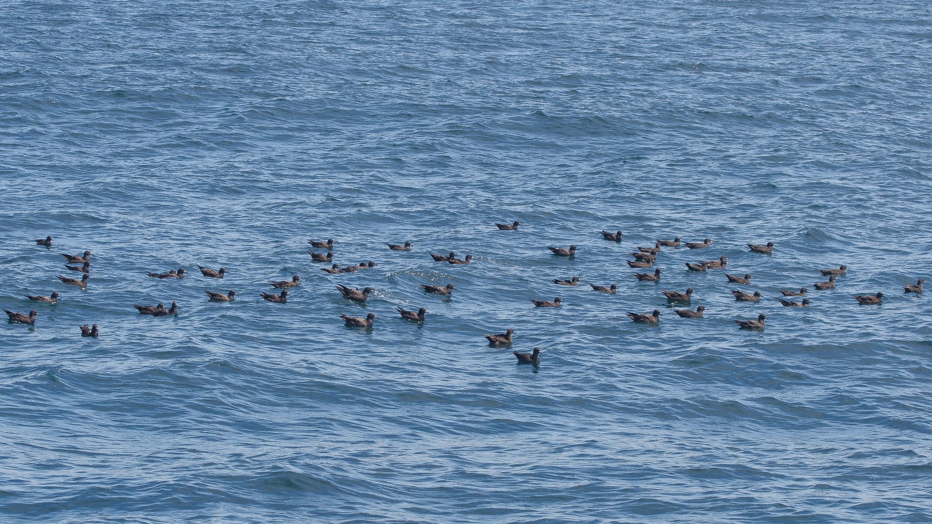
The hill’s varied habitats attract a rich assemblage of birds, making it a hotspot for birdwatchers. Species such as the peregrine falcon, red‑throated diver and the elusive corncrake have been recorded here. Early‑morning walks are especially rewarding when the lake’s mist lifts and the birds become active. The SAC status means that the area is monitored by the National Parks and Wildlife Service, ensuring that bird populations are protected. For those keen to explore more avian sites, the nearby Ballygilgan Nature Reserve offers additional wet‑grassland habitats.
Flora Exploration
In late spring, the slopes of Slieve Daean burst into colour with a carpet of wild orchids, including the early‑purple orchid (Orchis mascula) and the rarer bee orchid (Ophrys apifera). The calcareous grassland also supports species such as the spring gentian and the mountain avens. A self‑guided flora walk, marked on the trail map available at the visitor centre in Sligo, helps you identify these botanical gems. The surrounding woodlands are home to the world’s northernmost specimens of the Mediterranean strawberry tree (Arbutus unedo), a small evergreen that adds a splash of red‑berry colour in autumn.
Linking to Lough Gill Attractions
Slieve Daean is a natural gateway to several other attractions that line the lake’s perimeter:
| Attraction | Approx. distance from Slieve Daean | Highlights |
|---|---|---|
| Dooney Rock | 2 km (south‑west) | Scenic rock formation with views over the lake |
| Dromahair village | 3 km (south‑west) | Traditional Irish village with historic pubs |
| Creevelea Friary (ruins) | 4 km (south‑west) | 17th‑century Franciscan friary ruins |
| Parkes Castle | 5 km (south‑west) | 17th‑century tower house, water‑bus departure point |
| Isle of Innisfree | 6 km (across the lake) | Island made famous by Yeats, reachable by water‑bus |
The water‑bus that departs from near Parkes Castle provides a pleasant crossing to Innisfree, allowing you to combine a hill walk with a short boat ride for a full‑day adventure.
Nearby Historical Sites
Just a short walk north of the summit lies Cashelore stone fort (also known as Bawnboy). This early‑Christian ringfort, roughly 23 m across, dates from the 5th–11th centuries and offers a glimpse into the area’s ancient settlement pattern. The partially blocked entrance on the north‑east side and the remaining walls are visible from the trail, making it an interesting side‑trip for history enthusiasts.
Practical Information
Slieve Daean is freely accessible to the public; there is no admission fee. The most common access point is the Lough Gill car park on the N16, just a few minutes’ drive from Sligo town. Parking at the car park is free and typically ample during the off‑peak season. The walking route to the summit is way‑marked and suitable for most fitness levels, though some sections are uneven and may be challenging for those with limited mobility. No special permits are required, but visitors are asked to stay on the marked paths to protect the sensitive habitats.
The hill is best explored on foot; there are no dedicated visitor facilities on the summit itself. However, the nearby Lough Gill Visitor Centre in Sligo offers maps, information leaflets and a small café. For those interested in guided walks, local tour operators in Sligo run seasonal bird‑watching and flora‑focused tours that include Slieve Daean as a key stop.
Because the area is part of an EU SAC, dogs must be kept on a leash to minimise disturbance to wildlife, especially during the breeding season (March–July). Litter bins are provided at the car park, and visitors are encouraged to take any waste with them.
Getting There
- By Car: From Sligo town, follow the N16 eastward for about 5 km; turn left onto the Lough Gill access road and follow signs to the car park.
- By Public Transport: Bus services from Sligo to the Lough Gill area run several times daily; alight at the “Lough Gill” stop and walk the short distance to the car park.
- By Bike: The scenic loop that includes Slieve Daean is popular with cyclists; the route is largely traffic‑free and offers stunning lakeside views. It forms part of the Lough Gill walking/cycling route (11.8 mi / 19 km) that links Dromahair, Cullentra Forest and Slish Wood.
Seasonal Highlights
- Spring (March–May): Orchid carpet blooms, especially early‑purple and bee orchids; bird activity peaks with migratory species passing through.
- Summer (June–August): Longer daylight hours make the summit walk pleasant; water‑bus services to Innisfree run at their most frequent.
- Autumn (September–November): Golden foliage colours the surrounding woodlands; the strawberry tree adds bright red berries.
- Winter (December–February): Mist often shrouds the lake, creating a mystical atmosphere; the path remains safe for walkers with appropriate footwear.
Slieve Daean may not be the highest peak in Connacht, but its combination of natural beauty, ecological importance and cultural resonance makes it a rewarding stop for anyone exploring the Lough Gill region. Whether you are tracing Yeats’ poetic footsteps, hunting for rare orchids, or simply seeking a peaceful spot to gaze over the water, the hill delivers a memorable slice of Ireland’s wild west.