Overview
Slieve League, known in Irish as Sliabh Liag, rises on the south‑west coast of County Donegal to a height of 1,972 ft (601 m). The sheer drop of over 600 m into the Atlantic makes these cliffs the second‑highest sea cliffs in Ireland and one of the highest in Europe – almost three times the height of the Cliffs of Moher and nearly twice the height of the Eiffel Tower. The viewpoint at Bunglass Point, perched beside the upper car park, offers a panoramic sweep across Donegal Bay, the Sligo Mountains and the wild Atlantic beyond.
History & Background
The cliffs have long been a place of pilgrimage. Robert Lloyd Praeger recorded in 1939 that the mountain’s northern precipice, dropping 1,500 ft into a coomb, supports the most varied alpine flora in Donegal. Early Christian monks are thought to have used the summit as a hermitage, leaving behind beehive huts and a small chapel that still echo the area’s spiritual heritage. During the Second World War a stone Éire sign was erected on the headland as a navigation aid for Allied aircraft flying the Donegal Corridor, and a Napoleonic‑era signal tower still stands at Carrigan Head.
What to See & Do
The Bunglass viewing platform
The main platform is a short walk from the upper car park. From here you can see the white‑sand beach that is only reachable by boat, a sea‑cave frequented by seals, and the distant silhouette of Sligo’s mountains. The iconic Éire sign sits just beside the car park, a reminder of the cliffs’ wartime role.
Walks and trails
- Short walk – The most popular route starts at either car park and leads to the Bunglass viewpoint. The ascent from the lower car park is moderate; the wind can be strong, so keep a safe distance from the edge.
- Pilgrim’s Path – A 6 km, roughly three‑hour trek that is graded strenuous. The trail climbs past the mountain’s interior before emerging above Donegal Bay. It should not be attempted in poor visibility.
- One Man’s Pass – An exposed knife‑edge ridge that links the Pilgrim’s Path to the summit. It is only for experienced hikers with a head for heights and should be avoided in bad weather.
Boat tours
A two‑hour cruise departs from Killybegs (≈30 min drive) and costs €33 per person. The boat weaves between the cliffs, past lighthouses and hidden coves, and offers chances to spot dolphins, basking sharks and seals.

Visitor centre & cultural experiences
The family‑run Slieve League Visitor Centre in Teelin showcases local crafts, knitwear and occasional traditional music sessions. Guided walking tours by Teresa’s Tours start here and last about two hours, weaving together folklore, early‑Christian history and the natural landscape.
Nearby attractions
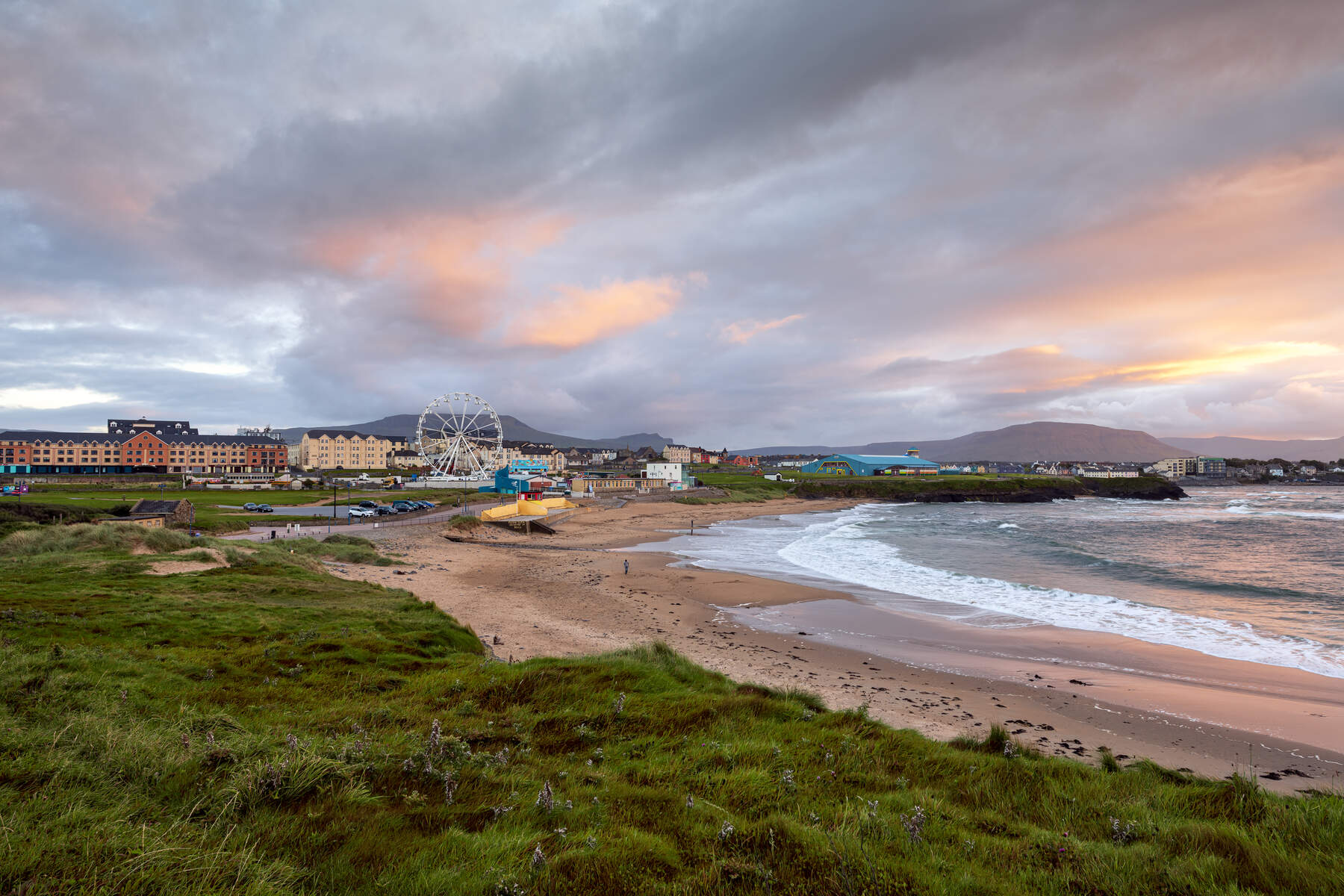
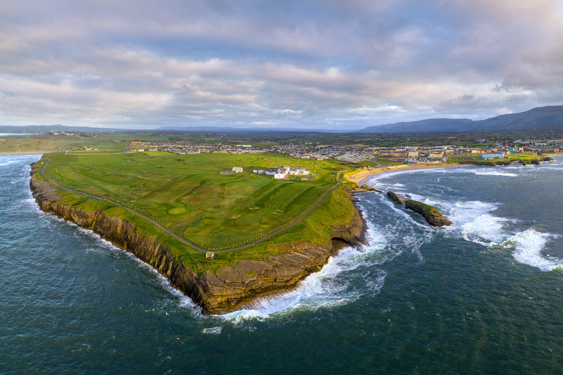
The peninsula is a hub of natural wonders: the secret Largy Waterfall (accessible only at low tide), the horseshoe‑shaped Malin Beg Beach, the dramatic Muckross Head viewpoint, Maghera Beach and its sea caves, and the easily reachable Assaranca Waterfall. Glencolmcille Folk Village offers a glimpse of historic Donegal life, while the Wild Atlantic Way road‑trip map links all these sites in a single day.
Practical Information
Getting there
The cliffs are a 15‑minute drive from Carrick, 20 min from Glencolmcille, 30 min from Killybegs and about 55 min from Donegal Town. A narrow road climbs from Teelin, hugging the precipice for the final kilometres.
Parking & fees
| Parking area | Fee | Access notes |
|---|---|---|
| Lower car park | €5 for 3 hours, €15 for the day | Requires a 30‑minute+ walk to the viewing platform |
| Upper car park | Free (season‑dependent) | Drive‑up is allowed off‑season; during peak summer only visitors with limited mobility may use it |
| Visitor centre car park (summer) | €6 shuttle fee | Shuttle bus runs from the centre to the upper platform; tickets purchased on site |
Shuttle service
During the summer months a shuttle departs from the Slieve League Visitor Centre (approx. €6 per passenger) and takes visitors directly to the Bunglass platform. The service operates on a regular schedule; exact times are posted at the centre.
Bus tours
Discover Ireland runs a dedicated coach service from Carrick (5 mi from the bar and restaurant) to the viewing points. The coach transfers to a smaller bus for the final 20‑minute leg up the narrow road and can wait for an hour or more before returning.
Accessibility
The upper car park provides limited‑mobility access to the platform in peak season. The lower car park and the short walk to the viewpoint involve uneven terrain and steep sections, making them unsuitable for wheelchairs.
Contact & online resources
- Website: https://www.slieveleague.com/
- Visitor centre location: Slieve League Ave, Cappagh, Teelin, Co. Donegal (Google Maps link available in source material)
- Guided tours: Teresa’s Tours – meeting point at the Visitor Centre, contact via the Discover Ireland page.
Coordinates
Latitude: 54.62771 N Longitude: –8.68396 W
Whether you are chasing the dramatic sweep of the Atlantic from a cliff‑top platform, tracing ancient pilgrimage routes, or gliding past the sheer rock faces on a boat, Slieve League delivers a sense of standing on the edge of the world.