Overview
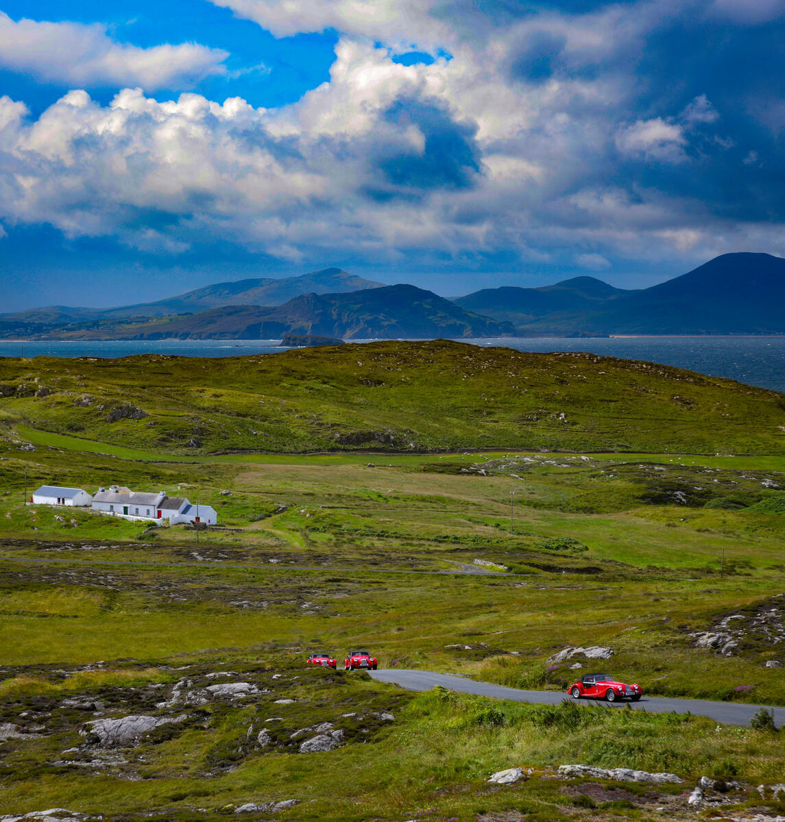
Rising to 615 metres (2,018 ft), Slieve Snaran – known in Irish as Sliabh Sneachta or “snow mountain” – is the highest point on the Inishowen Peninsula and one of the most northerly summits in the Republic of Ireland. Its name is literal: snow often lingers on the summit until late May, giving the peak a striking white crown that can be seen from the surrounding lowlands. From the top you can glimpse the rugged Urris Hills, the Atlantic coastline to the north, and on exceptionally clear days the distant Scottish islands across the sea.
The mountain forms part of a small range that includes the subsidiary tops of Slieve Main (514 m), Crocknamaddy and Damph (422 m). The landscape is a mix of heather‑covered slopes, boggy plateaux and occasional conifer plantations, providing a dramatic backdrop for the moderate hill‑walking routes that criss‑cross the area.
Naming and Confusion
Slieve Snaran is sometimes listed as Slieve Snaght (Sliabh Sneacht). It should not be confused with another Slieve Snaght in the Derryveagh Mountains further south; the Inishowen peak is the one described here.
History
Slieve Snaran is woven into Irish myth and early scientific endeavour. In the ancient tale Cath Maige Tuired (The Battle of Moytura) the mountain is listed among the “twelve chief mountains” of Ireland, underscoring its cultural prominence. A long‑standing tradition of pilgrimage to the summit occurs at Lughnasa, when locals ascend to the holy well known as Tobar na Súl – the “well of the eyes” – reputed to cure blindness.
In 1825 the summit played a pivotal role in the Ordnance Survey’s Principal Triangulation of Ireland. Surveyors, including Thomas Drummond, set up a temporary camp on the peak and erected a wall for shelter. From Slieve Snaran they beamed a limelight to a team on Divis, marking the first use of limelight in surveying and cementing the mountain’s place in the history of Irish cartography. The summit is now a trig point and is classified as a Hewitt (Hill over 2,000 ft with a prominence of at least 30 m).
What to See & Do
Walking the Slieve Snaran Loop
The most popular route is a 9 km moderate loop that takes 3–4 hours to complete. The walk begins on a quiet rural road near a conifer plantation, where a gentle ascent leads to the Damph summit. After a brief descent you climb to Slieve Main, then make the final push to Slieve Snaran’s trig point. Along the way the terrain shifts from grassy slopes to boggy ground, offering varied scenery and ample opportunities for wildlife spotting.
| Segment | Distance | Elevation Gain |
|---|---|---|
| Start → Damph | 2.5 km | 200 m |
| Damph → Slieve Main | 2.0 km | 120 m |
| Slieve Main → Slieve Snaran | 2.5 km | 260 m |
| Return to start | 2.0 km | 0 m |
A shorter 4.5 km option skips the Damph leg and goes directly from the trailhead to Slieve Main before the final ascent – useful for families with younger children or those short on time.
At the summit you are rewarded with a “boggy‑footed” panorama that stretches from the rugged Urris Hills to the Atlantic, with the distant outline of Scotland visible on clear days. The holy well Tobar na Súl sits just below the trig point; a short detour allows visitors to pause at this historic site and, if they wish, partake in the age‑old tradition of drinking its water.
Cultural Highlights
- Mythic Significance – Part of the twelve chief mountains in Irish legend.
- Pilgrimage Well – Tobar na Súl near the summit, linked to cures for blindness.
- Survey History – Site of the first limelight‑aided triangulation in 1825.
- Hewitt Status – Recognised as a hill over 2,000 ft with notable prominence.
Practical Information
- Access: The trailhead is reached via the R238 road that loops around the centre of the peninsula. The nearest town with services is Buncrana (about 12 km north‑east), which offers cafés, B&Bs and a bus stop.
- Parking: A small free gravel lay‑by sits beside the trailhead. No toilet facilities are available, so bring supplies.
- Public transport: Bus Éireann route 242 serves Buncrana; from there a local taxi can reach the trailhead.
- Difficulty: Moderate – suitable for families with older children who are comfortable on uneven ground. The path is well‑marked but not wheelchair accessible.
- Dogs: Allowed on a lead where livestock are present.
- Navigation: OS Discovery Series map sheet 9, grid reference C42444 39017. The route is listed on Komoot, MountainViews and Trek.zone.
- Season: Late spring and early autumn give the most reliable clear views. Snow often remains on the summit until May, creating a striking white crown.
- Safety: The summit is exposed; weather can change quickly. Carry waterproof clothing, sturdy shoes and a map.
- Permissions: No permits required, but respect the private land that surrounds much of the lower slopes and stay on the established path.
Overall, Slieve Snaran offers a blend of natural beauty, mythic resonance and modest physical challenge, making it a standout destination for anyone exploring the wild north of Donegal.