Overview
Strule Valley stretches north‑west through the heart of County Tyrone, following the River Strule from its birth at the confluence of the Drumragh and Camowen rivers in Omagh to its meeting with the Derg near Newtownstewart. The valley’s landscape is a patchwork of gentle pastures, dense woodlands and river‑side meadows, punctuated by historic stone bridges and the occasional hill‑top vista. It is renowned for its salmon and trout fisheries, its well‑marked cycling loop, and a series of autumn talks and walks that delve into the valley’s rich cultural heritage.
History
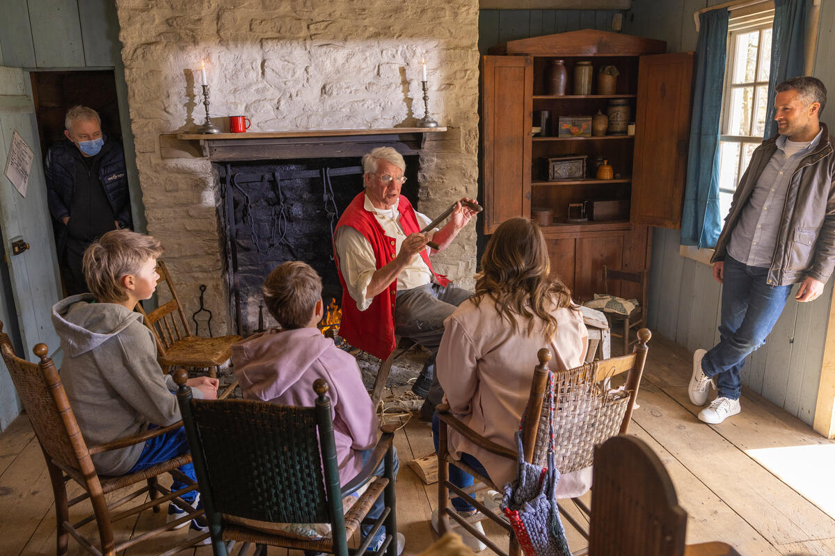
The River Strule has long been a lifeline for the communities that line its banks. In the early 19th century, families such as the Mellons lived on farms like Camp Hill Cottage near Cappaigh Bridge, describing the river as a “nice little place on the bank” where the waters widened to about 200 feet. Over the centuries the valley witnessed the ebb and flow of migration, agriculture, and industry, leaving a layered narrative that scholars now unpack in a four‑part lecture series titled “A River Valley in Co Tyrone.”
The series is presented by three experts – Dr Liam Campbell (director of the Mellon Centre for Migration Studies), Dr William Roulston (researcher on landscape interaction), and Dr Paddy Fitzgerald (historian of early‑modern Irish poverty). Their talks, held at the Ulster American Folk Park’s Mellon Centre, weave together archival records, oral histories and personal memoirs to illustrate how the river shaped settlement patterns, trade routes and cultural identity across four centuries.
What to See & Do
Walks and Talks
The autumn lecture series runs on four Saturdays: 1 October, 22 October, 5 November and 12 November (9:30 am–1:00 pm). Each session costs £20, payable on arrival, and requires advance registration via email (mcms@librariesni.org.uk) or phone. Participants enjoy guided walks that trace historic sites such as Cappaigh Bridge, the old mill at Lower Castletown, and the confluence where the Strule meets the Owenkillew. The talks provide context for the scenery, turning a simple stroll into an immersive history lesson.
Cycling the 37.6‑mile Loop
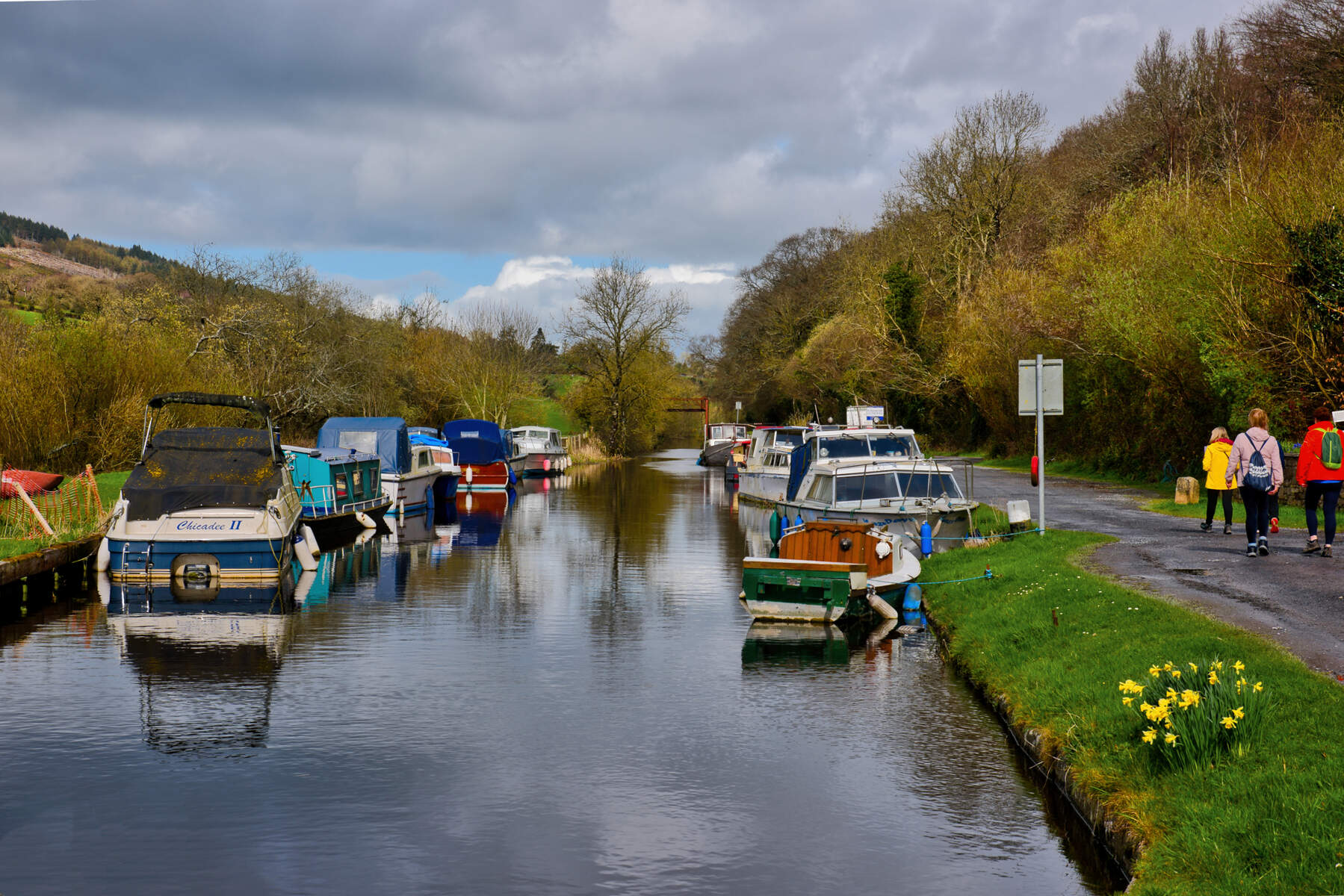
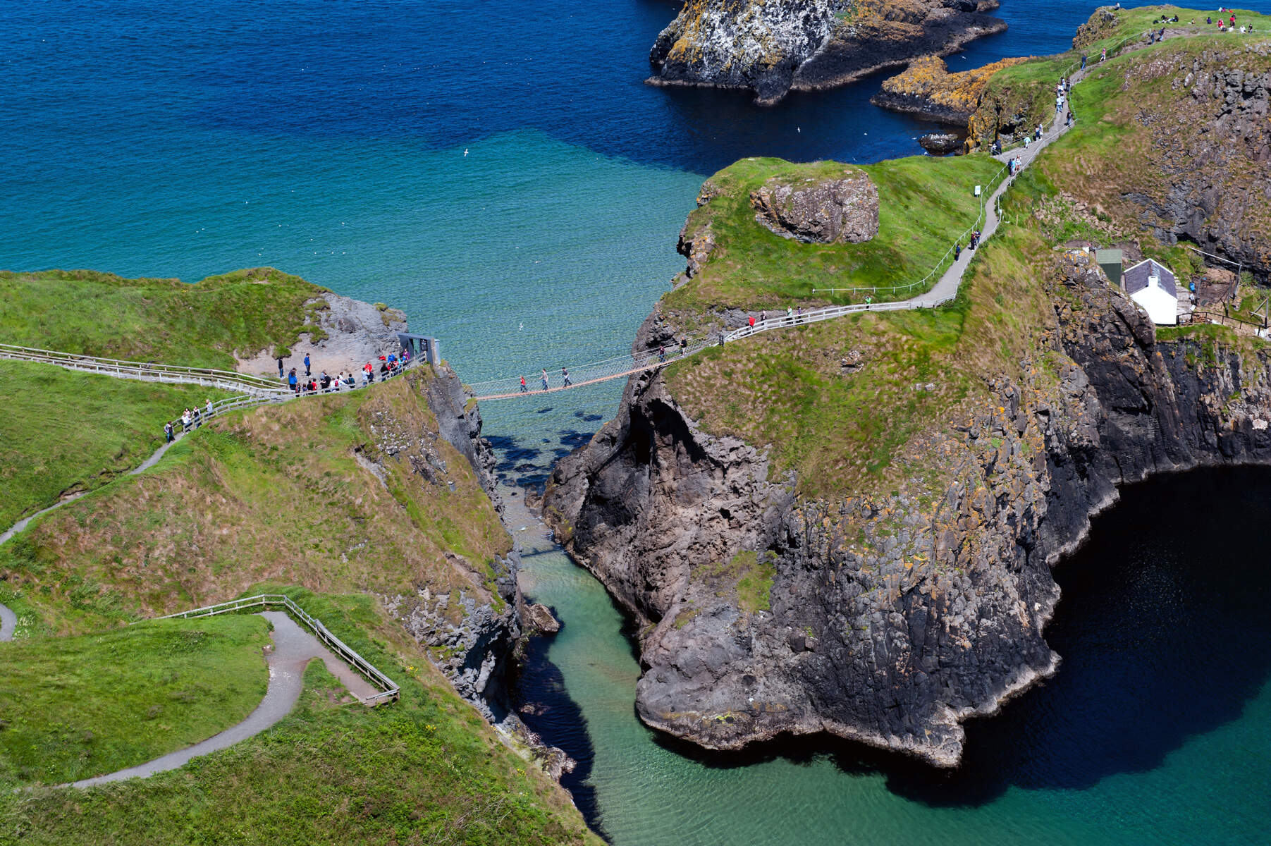
For cyclists, the Strule Valley Cycle Route offers a 37.6‑mile (60 km) loop that follows the river and its tributary, the Owenkillew. Starting in Newtownstewart, the route heads west under the town bypass, then south through Carrigans, Gortin Forest, and the lakes surrounding Gortin Village. It continues to Plumbridge, skirts the hills via Shannony Bridge, passes through the scenic Skinboy Wood, and crosses the iconic Swinging Bridge before reaching Sion Mills. The final leg follows the eastern bank of the Strule back to Newtownstewart, largely on public roads marked with NCN 92 and local cycle signs.
Angling
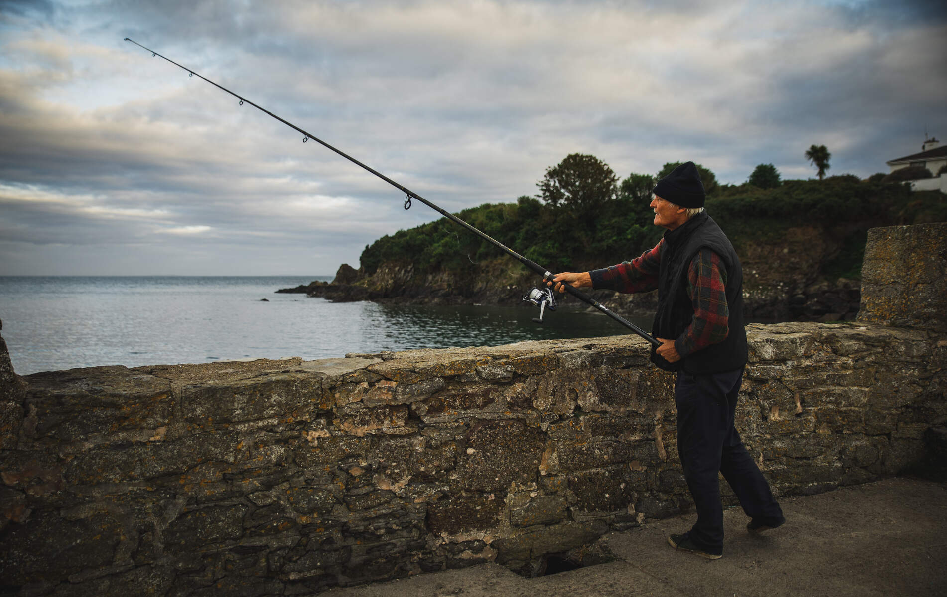
The River Strule is part of one of Europe’s premier salmon and trout fisheries. From 1 April to 20 October, anglers can target Atlantic salmon, brown trout and sea trout (the latter downstream of the Owenkillew confluence). The upper reaches are relatively easy to wade, while the lower stretches demand sturdy chest waders and a wading stick due to rocky beds and deep holes. Popular fly patterns include Currys Red, Bann Special, Hairy Mary, and Hares Ear. Anglers should confirm club boundaries before casting, as limits can vary.
Wildlife & Landscape
The river corridor supports a range of wildlife typical of the north‑west Irish river system. Salmon and sea trout dominate the fishery, while brown trout are common in the quieter upper reaches. Otters are frequently sighted along the banks, and the river’s riparian zones attract kingfishers, grey herons and a variety of songbirds. In spring the valley’s woodlands burst with bluebells and wild garlic, offering a colourful backdrop for walkers and cyclists alike.
Nearby Attractions
If you have time to explore beyond the valley, consider these nearby points of interest:
- The Camowen River joins the Strule at Omagh and offers additional short walks and angling spots.
- The Drumragh River runs parallel to the Strule for several kilometres, with well‑marked trails near the village of Drumragh.
- The historic market town of Gortin provides access to the Gortin Forest Park and several cafés for a rest stop.
- The Ulster American Folk Park itself is a living museum of Irish emigration, with reconstructed buildings and interactive exhibits.
Practical Information
Talks & Walks – Sessions start at 9:30 am and finish around 1:00 pm. The venue, the Mellon Centre for Migration Studies, is located within the Ulster American Folk Park, Omagh. Parking is free on‑site, and the centre is wheelchair‑accessible. Booking is essential; contact the centre via email or phone.
Cycling – The loop is sign‑posted and suitable for intermediate riders comfortable with mixed terrain and on‑road sections. The route is entirely on public roads, so cyclists should obey traffic rules. There are several lay‑by spots for refreshments, notably in Gortin Village and Sion Mills. The nearest town, Newtownstewart, offers cafés, B&Bs and a bus stop for onward travel.
Getting There – By car, take the M1 west to the Ballygawley round‑about, then north on the A5 toward Omagh and continue to Newtownstewart. Ulsterbus services connect Belfast to Omagh and onward to Newtownstewart; timetables are available at Translink. For cyclists arriving by train, the nearest station is Coleraine, with local bus links to the valley.
Accommodation – Newtownstewart and the nearby villages of Gortin and Sion Mills provide a range of guesthouses and self‑catering cottages, many of which market themselves as “river‑side retreats.”
Safety – While the river is generally safe for wading in its upper reaches, the lower sections can be treacherous. Anglers should use a wading stick and be aware of deep pools. Cyclists should carry a basic repair kit and wear helmets.
Further Information – For the lecture series, email mcms@librariesni.org.uk or call 028 8225 6315. Detailed cycling maps (OS Maps 12 & 13) and the grid reference H405854 are available from local tourist offices. Angling regulations and club contacts are listed on the Foyle Catchment – River Strule page.