Overview

Tullynakill (Irish: Tulaigh na Cille) is a modest civil parish and townland covering 317 acres in the historic barony of Castlereagh Lower, County Down. The settlement sits on the western shore of Strangford Lough, hemmed in by a chain of islands – Castle Espie, Mahee Island and Long Island – that give the area a distinct maritime flavour while the inland fields retain a quiet, rural character.
History
The name appears in early 17th‑century documents: the 1615 Terrier of church property, the Raven maps of c.1625 and an inquisition of 1617 that records the townland as Tullomkill. By 1659 it was listed as Tollenekill. Archaeological finds suggest a Christian presence from the 9th century, and the site later became the focal point of the local parish.
The surviving stone church dates from 1639, a period of relative peace before the upheavals of the 1640s. In 1825 a new Georgian‑style church was erected with funding from the Board of First Fruits; it served the community until its demolition in 1970. The old 1639 structure is now in state care.
Parliamentary Gazetteer extracts (1846) describe Tullynakill as a parish on the eastern edge of the barony, 3¼ mi south‑east of Comber, with a surface of prime land, extensive limestone quarries and a strand of Strangford Lough that varies from half a mile to almost two miles wide. The lough’s islands – Wood Island, Gull Rock, Bird Island, Long Island, Reagh Island and others – were noted for their wildlife and occasional smuggling activity; local folklore even mentions a 19th‑century smuggler known as “Daft Eddy” whose headstone once stood in the graveyard.
Landscape & Nature
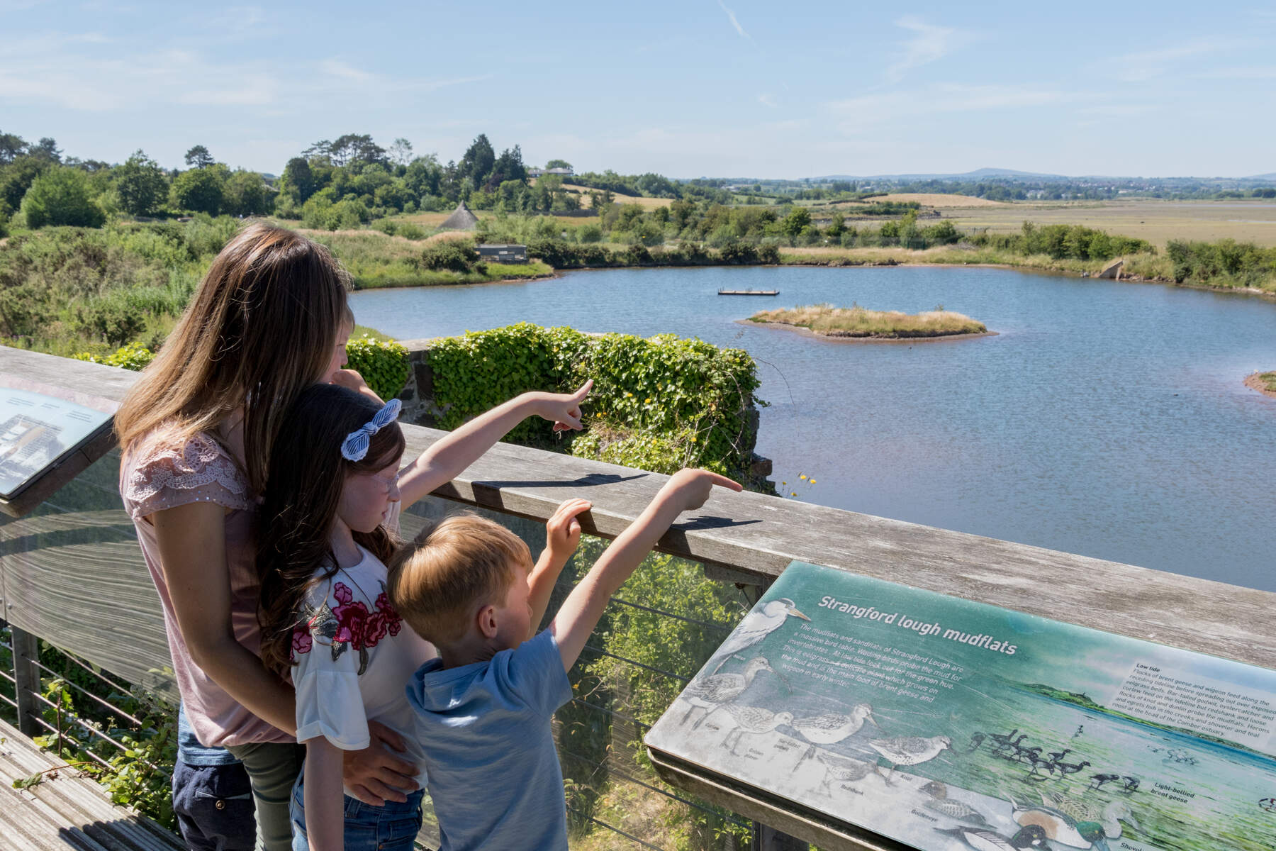
The parish’s shoreline is a mix of shallow bays and tidal flats that reveal sand and shells at low tide, making it a rewarding spot for bird‑watchers. Species such as oystercatchers, curlews and wintering geese are common, especially around the islands that can be sighted from the shore. Inland, the limestone quarries expose fossil‑rich rock that has been historically extracted for building material; the exposed faces are of interest to geology enthusiasts.
What to See & Do
- Ruins of the 1639 Church – The stone walls stand amid an ivy‑clad graveyard. The site is free to explore at any hour.
- Tullynakill Burial Ground – Walk among 18th‑century headstones, including the grave of John McWilliams (killed at the Battle of Ballynahinch) and the family plots of the Jellies and Carlisles.
- Geological Quarry Views – Follow the minor lane north of the church to see the old limestone workings; the exposed strata are a quick outdoor lesson in local geology.
- Annual Open‑Air Service – Held on the last Sunday of August, beginning at 10 am, this community service brings the ruins back to life with music and prayer.
- Bird‑watching from the Shore – Low‑tide walks reveal feeding waders; binoculars are recommended for spotting gulls and terns on the nearby islands.
- Nearby Heritage Sites – A short cycle ride takes you to the WWT Castle Espie Wetland Centre, while a short boat trip from the lough’s mouth can reach Sketrick Castle on Sketrick Island or the early‑Christian Nendrum Monastery on the southern shore (both worth a mention for history buffs).
Cycling & Walking Routes
The former Belfast‑Comber railway line, now a tarmacked foot‑ and cycle‑path, provides a traffic‑free 3‑mile stretch from Comber to Tullynakill. The route passes former stations, the village of Ballydrain and the wildlife‑rich wetlands of Castle Espie. For longer treks, the Comber Greenway links Belfast city centre to the lough’s edge, offering a pleasant, mostly flat ride suitable for families.
Practical Information
Tullynakill Parish Church is closed for regular worship, but the ruins and graveyard are open 24 hours and free of charge.
- Getting there – By car, travel the Moss Road from Ballygowan to Kilmood, then turn onto Kilmood Church Road and follow signs to the lay‑by on Tullynakill Road. Cyclists can use the former railway path which joins the same road.
- Parking – A small lay‑by opposite the ruins provides limited space; early arrival is advisable in summer.
- Accessibility – The ground is uneven, with grass and occasional stone steps; it is suitable for visitors with moderate mobility but does not have wheelchair‑specific facilities.
- Facilities – No toilet or café on site. Bring water, a packed lunch and, if you plan to walk along the lough, check tide times.
- Dog policy – Dogs are welcome on the surrounding fields and paths but should be kept on a leash within the burial ground out of respect for the graves.
- Coordinates – 54.489933, ‑5.731786 (Google Maps).