Overview
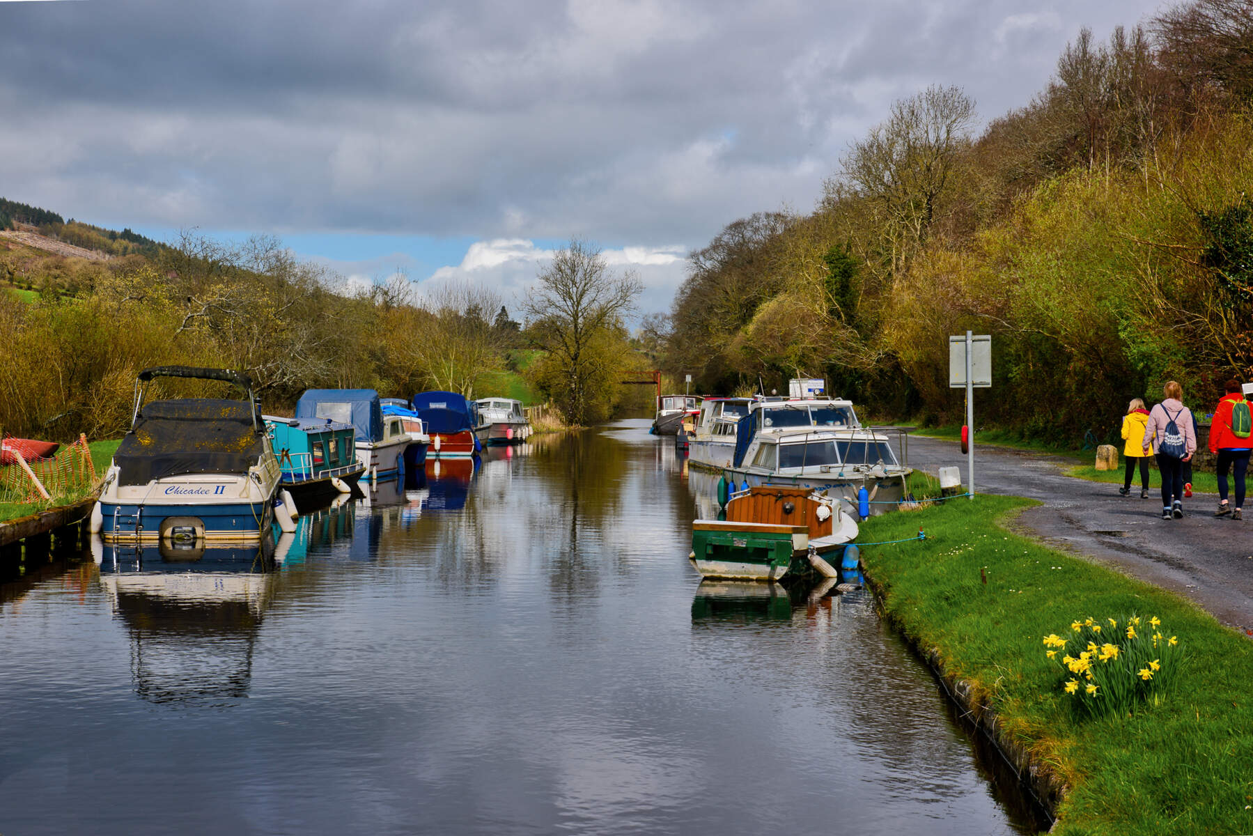
The Ward River (Irish: An Abhainn Bheara) is a modest but charismatic watercourse that begins near Killester in County Meath and flows eastward for roughly 18 km before joining the Broad Meadow River just north of Swords. Along its lower reaches the river threads the Ward River Valley Regional Park, a 89‑ha (220‑acre) linear green corridor that stretches from Swords town centre to Knocksedan Bridge. The park feels like a miniature wilderness tucked into the Dublin suburbs – a mix of limestone‑fed streams, native woodlands, open meadows, wetlands and a series of historic mill sites.
History & Landscape
Historically known as the “Swords River” and possibly derived from the Norman word Le Warde (guard), the river has guarded settlements for centuries. Archaeological work has uncovered Bronze‑Age activity, early‑medieval middens and burials dating from the 11th–13th centuries. A Norman motte‑and‑bailey once dominated the valley, while the 18th‑century estate of Robert Molesworth added ornamental water gardens, cascades and formal canals. The 19th‑century industrial boom left a legacy of mills – Brackenstown Mill, a police station and other civic structures – many of whose foundations are still visible along the riverbank.
The modern Ward River Regional Park is the product of a long‑term revitalisation programme led by Fingal County Council. A 2026 tree‑planting strategy, guided by a Woodland Management Plan, aims to protect a ten‑metre buffer on each bank, thin existing woodlands, and sow native meadow grassland. These ecological upgrades complement the river’s natural bounty: brown trout, minnows, eels, stickleback and stone loach are recorded in recent fish‑ecology surveys.
Conservation & Access Improvements
Fingal County Council continues to invest in the park’s habitat and visitor infrastructure. In early 2021 the council began essential vegetation removal in the central section of the park to create a new access route to Ushers Lake – a small, historic lake surrounded by wetland flora. The work protects and restores sensitive architectural features around the lake and will form part of the long‑term Masterplan for the Ward River Valley Regional Park.
The council also commissioned Wildlife Surveys Ireland to produce a Ward River Nature Trail biodiversity plan and to install bat‑friendly lighting along key sections of the trail. Signage now highlights the presence of common pipistrelle and noctule bats, encouraging visitors to keep lights low after dusk.
What to See & Do
| Feature | Highlights |
|---|---|
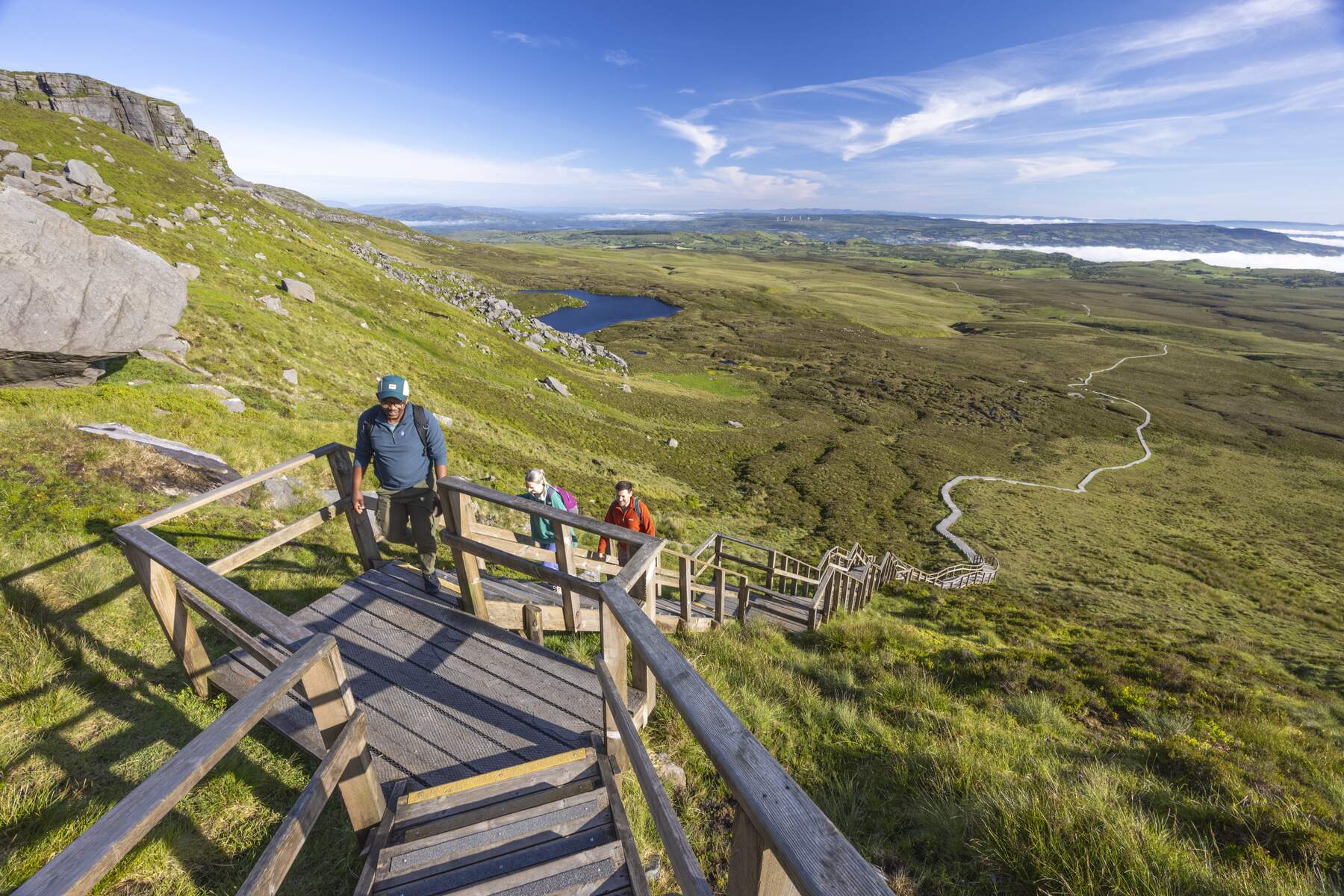
| Trails | Well‑maintained walking and cycling routes wind through woodlands, meadows and wetlands. Routes vary from gentle riverside strolls to more demanding loops that climb the park’s higher ground. |
| Wildlife | Rabbits, foxes, a chorus of songbirds and seasonal butterflies are common. Anglers can try limited brown‑trout fishing (catch‑and‑release encouraged). Recent surveys record pipistrelle bats and a variety of fish species. |
| Historic Remnants | Visible mill foundations, old sluices and the stonework of former industrial sites provide a tangible link to the valley’s past. |
| Family Facilities | A large playground, sports pitches, tennis courts and several picnic sites make the park ideal for children and groups. |
| Scenic Views | Viewing points at Knocksedan Bridge, Scotchstone Bridge and along the river’s meanders offer photo‑worthy vistas, especially in autumn when the foliage turns gold. |
During spring the meadows burst with wildflowers; summer brings butterflies and shade‑providing canopy; autumn paints the trees in amber and russet; winter can turn the riverbank into a frosty tableau, perfect for quiet contemplation.
Practical Information
Getting There
- By Car: The park is sign‑posted from Swords town centre. Parking is available at the Swords Town Park car park, the Knocksedan Bridge car park and a small lay‑by near the southern entrance. Spaces fill quickly on sunny weekends, so early arrival is advisable.
- By Train: The nearest DART station is Swords; from there it is a pleasant 20‑minute walk along local streets to the park’s southern entrance.
- By Bus: Dublin Bus routes 33, 41, 41b and 41c stop near Swords Main Street and provide a short walk to the park.
- By Bike: Dedicated cycle lanes approach the park from the east and west, linking to the Dublin‑Meath Greenway network.
Facilities
- Playground – modern equipment suitable for children aged 3‑12.
- Sports – open‑air pitches and tennis courts within the Swords Town Park section.
- Picnic Areas – scattered along the riverbank, equipped with benches and waste bins.
- Restrooms – basic facilities are located near the main playground and at the Knocksedan Bridge car park.
- Dog Access – dogs are welcome on leashes throughout the park.
- Accessibility – several sections of the main riverside trail are paved and suitable for wheelchair users.
Access & Fees
The park is free to enter and open year‑round. No formal opening hours are imposed; visitors are welcome from dawn to dusk. Parking is free but limited, so early arrival is advisable during peak summer weekends.
Environmental Guidance
The council’s Biodiversity Management Plan encourages visitors to stay on marked paths, respect the ten‑metre river‑bank buffer and carry out any litter. The park’s recent tree‑planting scheme means some areas are left unmown to foster native flora – tread lightly to protect emerging seedlings.
Nearby Amenities & Attractions
Swords town offers cafés, restaurants and a small shopping centre a short walk from the park’s southern gateway. For anglers, the Swords Angling Centre (tel +353 1 840 9387) provides tackle and local licence information.
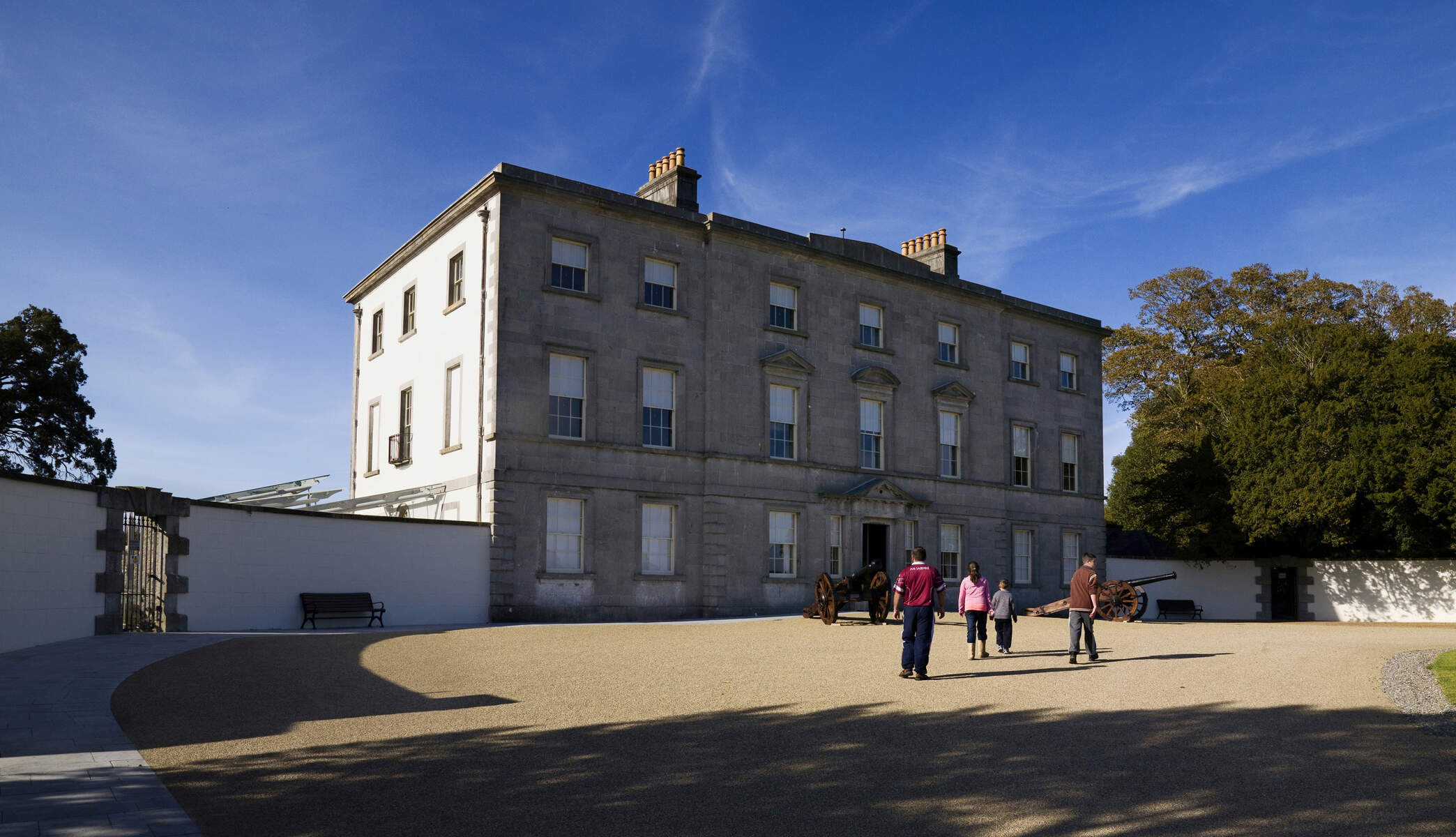
A short drive north brings you to the Battle of the Boyne Visitor Centre – Oldbridge House (battle-of-the-boyne), while the Athboy Heritage Trail (athboy-heritage-trail) showcases the historic Hill of Ward and its annual Púca Festival (see image in the catalogue). The park also meets the Broad Meadow River (broad-meadow-river) just downstream, offering an extended riverside walk for those who wish to continue exploring.