Overview
The Allow River (Irish: Abhainn an Álú), a modest yet ecologically vital waterway, rises on the eastern slopes of the Mullaghareirk Mountains. From its source it flows eastward for roughly twelve kilometres before turning south at the village of Freemount. Along its 30‑kilometre journey the river forms part of the Limerick‑Cork border, passes under the R579 and R578, and threads through the market town of Kanturk where it meets the Dalua River. Continuing south, it crosses the N72 at Leader’s Bridge and finally empties into the Munster Blackwater near Ballymaquirk/Dromcummer Beg.
The Allow is designated as part of the Blackwater River Special Area of Conservation (SAC) (Site Code 002170), reflecting its importance for a suite of EU‑protected species and habitats. Its waters feed the larger Blackwater system, which ultimately reaches the Celtic Sea at Youghal Harbour.
History
The river’s banks have witnessed centuries of Irish history. In 1602, after the tragic Dursey Massacre, the famed chieftain Donal Cam O’Sullivan Beare led his followers on a desperate march northward. At the Ford of Bellaghan—identified with the present‑day John’s Bridge at Ballybahallagh—the Irish forces encountered a detachment of English soldiers under John Barry and Captain Cuffe. Although many of O’Sullivan Beare’s men were wounded, the encounter allowed the group to continue toward the Ballyhoura Mountains and eventually to Lough Neagh. This dramatic episode underscores the Allow’s role as a natural barrier and a conduit for movement in early modern Ireland.
Wildlife & Conservation
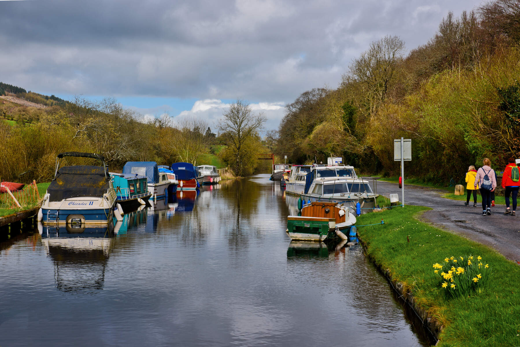
The Allow is celebrated as a salmon fishery, supporting runs of Atlantic salmon (Salmo salar) that attract anglers from across the island. Beyond salmon, the river sustains a diverse assemblage of fauna:
- European otter (Lutra lutra): recorded at more than half of surveyed sites between 2011‑2015.
- Kingfisher (Alcedo atthis): six distinct territories were documented in the same period, a notable increase from a 2010 study that found none.
- Irish dipper (Cinclus cinclus hibernicus): observed throughout the catchment, though a 2‑km stretch suffered a temporary absence after an aluminium flocculate leak in 2014.
- Freshwater pearl mussel (Margaritifera margaritifera): a protected species under the EU Habitats Directive, confirmed present in the Allow’s substrate.
Conservation initiatives have been intensive. The IRD Duhallow LIFE programme (2015‑2023) targeted four flagship species—Hen Harrier, Merlin, Atlantic salmon and Brook lamprey—while also improving river habitats. The Duhallow Farming for Blue Dot Catchments project, a €1.4 million European Innovation Partnership scheme (2018‑2023), rewarded local farmers for actions that enhance water quality and wetland habitat. Both programmes are co‑funded by the EU and the Irish exchequer and are coordinated from the James O’Keeffe Institute in Newmarket, Co Cork.
A tragic episode occurred on 10 June 2024 when a burst pipe at the Uisce Éireann water‑treatment plant in Freemount released roughly 2,500 litres of polyaluminium chloride. The spill caused the death of thousands of fish, including juvenile salmon, brown trout, lamprey and eel. Subsequent legal action resulted in a fine for the utility and a substantial clean‑up effort, with new double‑bunded storage now in place. The incident highlights the river’s vulnerability and the importance of ongoing monitoring.
Conservation & Community Projects
Duhallow LIFE (SAMOK) Programme
The SAMOK (Salmon, Atlantic salmon, Mud‑snail, Otter, Kingfisher) component of the IRD Duhallow LIFE project carried out in‑stream habitat restoration, riparian planting and predator‑control work along the Allow and its tributaries. Funding of €1.9 million was provided by the EU LIFE programme and the Irish Government, with Inland Fisheries Ireland as a key partner.
Blue Dot Catchments – Farming for the Allow
Launched in 2018, the €1.4 million Blue Dot Catchments scheme works with up to 100 farms in the Allow‑Dalua catchment. Participants receive results‑based payments for actions such as nutrient‑management plans, fencing off riverbanks, and creating buffer strips. The aim is to improve water quality, protect the freshwater pearl mussel and sustain the salmon run.
Both projects hold regular community meetings (usually every six weeks) at the James O’Keeffe Institute, Newmarket. Visitors interested in volunteering or learning more can contact the Duhallow LIFE office (phone: (029) 60633) or visit the IRD Duhallow website.
Seasonal Highlights & Activities
- Salmon run – The peak of the Atlantic salmon run occurs from late July through September. Anglers often report the best catches in the lower reaches near Kanturk during this period.
- Kingfisher & Dipper spotting – Early mornings in May and June, especially along the willow‑lined banks near Freemount, provide excellent viewing opportunities.
- Otter surveys – Otter holts are most active in winter; a quiet walk at dusk can reveal signs such as spraints or tracks.
- Family picnics – The confluence of the Allow and Dalua in Kanturk offers a flat, grassy riverside ideal for a relaxed break.
Fishing & Angling Details
The Allow is a recognised salmon fishery. Angling is managed by Inland Fisheries Ireland (IFI). To fish legally you must:
- Hold a valid National Angling Permit (available from IFI offices or online).
- Obtain any local permits required by landowners – the Kanturk and District Trout Anglers club can advise on access points.
- Follow the catch‑and‑release guidelines for salmon during the protected season (usually 1 July – 31 October).
No entry fee is charged for the river itself, but parking at the lay‑bys may be limited during peak angling weekends.
Getting There & Practical Tips
- Driving – The R579 bridge (upper reaches) and the R578 crossing near Freemount both have small roadside car parks. Leader’s Bridge on the N72 provides a larger lay‑by with public toilets.
- Public transport – Bus routes 274 (Kanturk–Mallow) and 275 (Kanturk–Newmarket) stop within walking distance of the river’s lower banks. The nearest railway station is Mallow, about 20 km north.
- Facilities – Kanturk town offers cafés, a post office, and public restrooms. For more extensive services (accommodation, shops) visit Newmarket.
- Safety – The river can be swift after heavy rain; always wear appropriate footwear and keep a safe distance from the water’s edge. Swimming is not recommended due to variable depths and strong currents.
- Regulations – As part of an SAC, littering, off‑trail vehicle use and unpermitted fishing are prohibited. The Irish Wildlife Act and EU Habitats Directive are actively enforced, especially after the 2024 chemical spill.
Nearby Attractions
- Kanturk Castle – A short walk from the river’s confluence with the Dalua, offering historic tours.
- Newmarket – Home to the James O’Keeffe Institute and the Duhallow LIFE office; a good base for exploring the catchment.
- Mullaghareirk Mountains – Ideal for hill walking; the river’s source lies on their eastern slopes.
Contact for Conservation Queries
| Organisation | Phone |
|---|---|
| IRD Duhallow LIFE Office (James O’Keeffe Institute) | (029) 60633 |
Visitors seeking the latest information on fishing regulations, bird‑watching hotspots, or volunteer opportunities are encouraged to reach out directly.