Overview
Benwee Head, often called the “Yellow Cliffs”, rises more than 250 m (255 m according to the Mayo tourism board) above the Atlantic on the remote north‑west tip of County Mayo. It is the most northerly summit in the county and, at 255 m, is higher than the famous Cliffs of Moher. Part of the Dun Chaochain range, its striking yellow limestone contrasts with the surrounding green bogland, creating one of the most photogenic sections of the Wild Atlantic Way. From the summit you can see the four Stags of Broadhaven – a quartet of sea‑stack islands that rise almost 100 m from the water – as well as distant views of Slieve League on clear days.
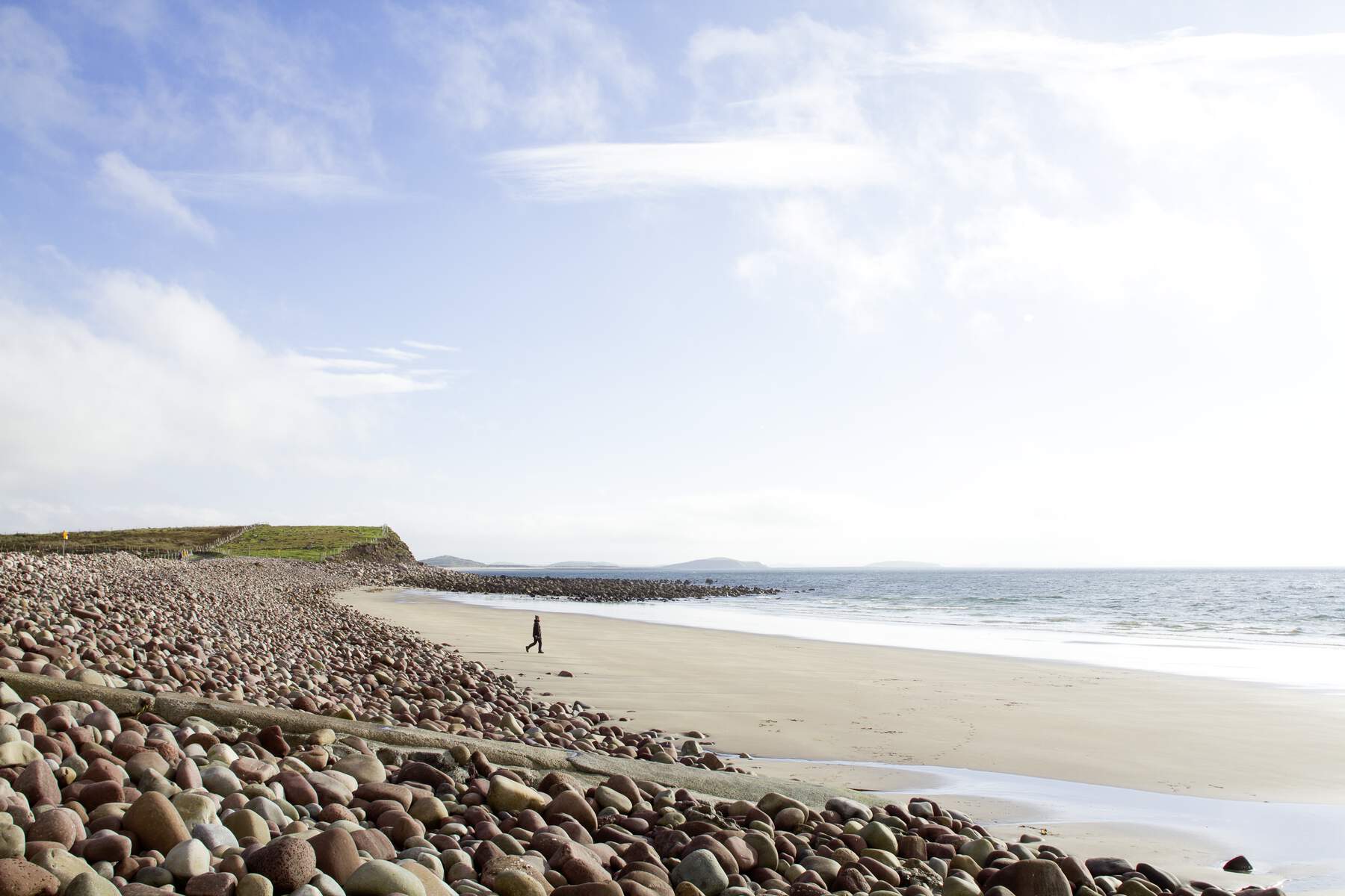
The headland is accessed via the Benwee Loop Walk, a 12 km (approximately 11.3 km on official maps) circuit that starts and finishes in the Gaeltacht village of Carrowteige (Ceathrú Thaidhg). The trail weaves through open bog, sheep paths and dramatic cliff‑top sections, offering a blend of coastal grandeur and cultural landmarks.
Benwee Head is listed as a Discovery Point on the Wild Atlantic Way, highlighting its importance for both scenery and heritage.
History
Benwee Head has long been a point of navigation and observation. During the Second World War an army observation hut was erected on the headland, and a large “EIRE” neutrality sign was painted on the rocks – a reminder of Ireland’s neutral stance. Writer‑naturalist Robert Lloyd Praeger famously described Benwee Head as “the finest piece of cliff scenery in the country”.
The surrounding Gaeltacht community preserves Irish language and traditions, and the name An Bhinn Bhuí translates to “the yellow peak”.
Cultural Highlights
- Children of Lir sculpture – A modern stone sculpture inspired by the Irish legend, located near the post‑office car park in Carrowteige.
- The Black Ditch – A dry stone ditch that runs alongside the coastal path, thought to mark historic land boundaries.
- Organised summer walks – Local community group Comhar Dún Chaocháin Teo runs guided walks during the summer months, providing extra insight into the landscape and folklore.
Wildlife & Water Sports
The offshore Stags of Broadhaven are a nesting site for seabirds such as guillemots, razorbills and kittiwakes, making the area popular with bird‑watchers. The headland’s cliffs and coves also attract water‑sports enthusiasts; kayaking and scuba‑diving trips are regularly launched from nearby Portacloy Beach, offering a different perspective of the sea‑stacks and underwater life.
What to See & Do
- Cliff‑top panoramas – From the highest point you can gaze down the sheer north face that drops vertically into the Atlantic, spotting sea arches, rock chimneys and the iconic Stags of Broadhaven.
- Kid Island & sea stacks – A short detour along the low sheep‑fence on the headland brings you close to Kid Island and, on clear days, the distant silhouettes of Slieve League.
- Historical markers – Spot the WWII‑era army hut and the large “EIRE” sign, both well‑signposted along the route.
- Multiple loop options – In addition to the full Benwee Loop, walkers can choose shorter sections such as the Portacloy Loop (starting from Portacloy Beach) or the Carrowteige Loop, each offering varied perspectives of the coastline.
- Wildlife – The Stags of Broadhaven host nesting seabirds; keen observers may also hear gulls and terns.
- Water‑sports – Kayakers and scuba divers can launch from Portacloy Beach to explore the sea‑stacks from the water.
The walk is classified as strenuous: the ascent totals 383 m and the terrain includes boggy sections, especially after rain. The trail is clearly marked with purple arrows on a white background, and red/green/blue arrows indicate alternative routes for less‑experienced walkers.
Practical Information
Start & finish – The loop begins and ends in Carrowteige Village. A small car park is available beside the post office (Children of Lir sculpture area). An alternative parking spot exists at Portacloy Beach, which is convenient for those who prefer to start the cliff section directly.
Parking & dogs – The Carrowteige car park often displays “no dogs allowed” signs; the Portacloy Beach car park is generally dog‑friendly. Check the signage before setting off.
Nearest town – Belmullet is the closest town (≈30 min drive) offering additional services, shops and accommodation.
Distance & time – The official loop is 11.30 km and typically takes 3–5 hours, depending on pace and the time spent at viewpoints.
Difficulty – The trail is strenuous and un‑guarded; walkers should stay well back from cliff edges and be prepared for occasional boggy ground. Navigation is straightforward thanks to way‑marking, but a map or GPS is advisable. Trail maps are available at the Carrowteige community centre.
Dogs – Dogs are permitted on the trail, but some car parks have “no dogs” signs (see above).
Opening hours & fees – The site is open every day and free of charge.
Facilities – No permanent facilities are provided on the headland. The village of Carrowteige offers a post office, a small shop and a café where you can refill supplies. There are no public toilets on the walk, so bring water and plan accordingly.
Safety – The cliffs are unguarded; keep a safe distance from the edge, especially in windy conditions. The walk is best attempted in dry weather; the boggy sections become treacherous when saturated.
Best time to visit – Late spring to early autumn offers milder weather and longer daylight. Summer months see the most organised guided walks and water‑sport activities.
Nearby attractions – After the walk, consider visiting the ancient Ceide Fields (≈30 min drive), the historic Downpatrick Head (≈45 min), or the stunning Keem Bay on Achill Island (≈1 hour).
Useful links
- Official trail page: Discover Ireland – Benwee Head Loop Walk
- Detailed guide with map: The Irish Road Trip – Benwee Head Walk
- Wild Atlantic Way overview: The Wild Atlantic Way – Benwee Head
Trail details
| Feature | Detail |
|---|---|
| Length | 11.30 km (≈12 km loop) |
| Ascent | 383 m |
| Estimated time | 3–5 hours |
| Grade | Strenuous |
| Dogs allowed | Yes (check car‑park signs) |
| Waymarking | Purple arrow on white background |
| Start/Finish | Carrowteige Village |
| Nearest town | Belmullet (30 min) |
Coordinates: 54.3368 N, 9.8189 W.
Plan your visit, pack a sturdy pair of boots, bring water and a map or GPS, and let the wild beauty of Benwee Head reward your effort with some of Ireland’s most dramatic coastal scenery.