Overview
Portacloy (Irish: Port an Chlóidh) is a Gaeltacht village and townland perched on the north‑west tip of County Mayo. With a 2011 population of just 28, the settlement feels more like a timeless outpost than a modern tourist hub. The hamlet sits on a horseshoe‑shaped bay that cradles two small piers, a stretch of golden sand that earned a Green Coast Award in 2017, and a network of cliff walks that frame the Atlantic in dramatic fashion. The landscape is a patchwork of blanket bog, rugged headlands and the occasional flock of sheep that wander the narrow roadways. As a Gaeltacht area, Irish is the everyday language of many residents, adding a cultural layer to the visit.
History
The recorded history of Portacloy stretches back to the early 19th century when the eastern side of the bay, once known as “Clayport”, supplied clay for earthenware (1812). An 1838 Ordnance Survey map already shows a mill, a coastguard station and a boathouse, hinting at a modest maritime economy. During the Great Famine, relief works built the roads linking Portacloy to Curraunboy and Glenamoy (1847), providing vital employment.
In the 1880s the Society of Friends highlighted the difficulty of fishing in the exposed harbour, and attempts to construct a more secure pier met with resistance due to limited resources. The Congested Districts Board later added a boat slip, breakwater, landing place and an approach road, while the 1960s saw the erection of a modern pier and bridge. Telephone lines arrived during World War II for defence purposes, later re‑activated after the war.
A more dramatic wartime legacy is the coastal look‑out post LOP 63, one of 83 stations that formed Ireland’s Coast Watching Service. The post, together with the stone ground sign ‘ÉIRE 63’, guided Allied pilots over neutral Ireland and tracked several Atlantic incursions. Destroyed by a storm in October 2014, the post was subsequently restored by local volunteers, preserving a tangible link to the Battle of the Atlantic.
What to See & Do
Portacloy Beach
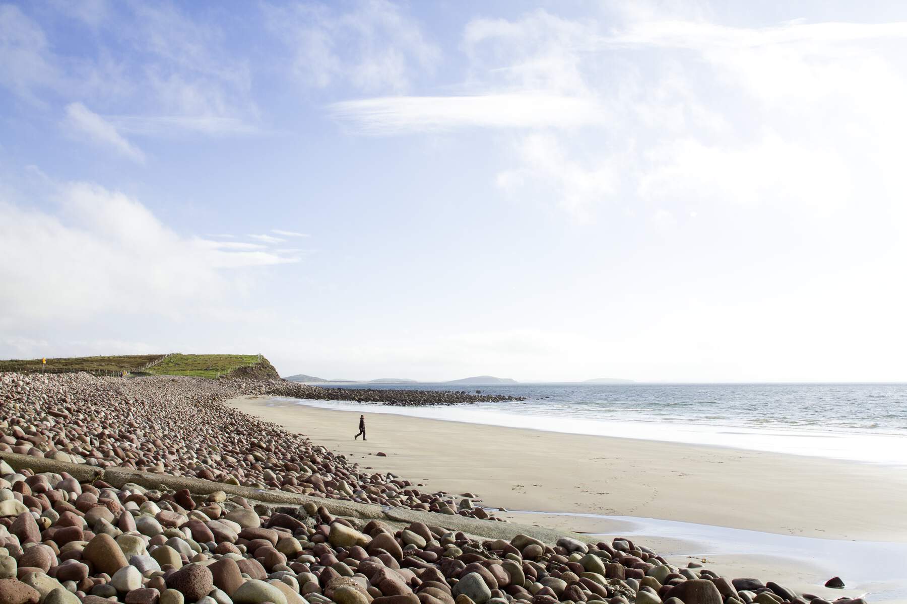
The beach is a secluded haven of golden sand and turquoise water, framed by sheer cliffs and the rolling hills of the Dún Chaocháin peninsula. It is a favourite spot for peaceful walks, swimming, kayaking and photography. The beach’s Green Coast Award status confirms its high environmental standards and unspoiled character.
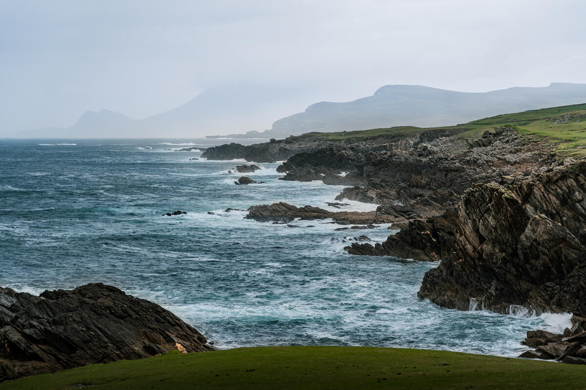
The 18 km Portacloy Loop Walk
The loop begins and ends at the harbour, winding along the coastline through the Benwee Head headland. Hikers are treated to panoramic views of the Stags of Broadhaven, the Mullet Peninsula, Achill Island and the distant hills of Donegal. The full circuit takes roughly four hours, but the route can be shortened at either end for a more leisurely stroll. The walk is part of the Wild Atlantic Way and is listed on AllTrails as the Benwee Head Trail.
Historic Landmarks
- LOP 63 & ÉIRE 63 – The restored World War II look‑out post and stone sign sit on a headland near the bay, offering a glimpse into Ireland’s neutral wartime stance.
- Old Harbour – A simple, unmodernised harbour that still supports a modest fishing fleet. Anglers can try for turbot, pollack and mackerel.
- Traditional Cottages – Clustered on the northern headland, these stone cottages retain their original architecture, providing a picture‑perfect backdrop for a quiet afternoon.
Natural Highlights
- Benwee Head – The headland that marks the entrance to the harbour, offering sweeping sea‑stack vistas and a chance to spot seabirds.
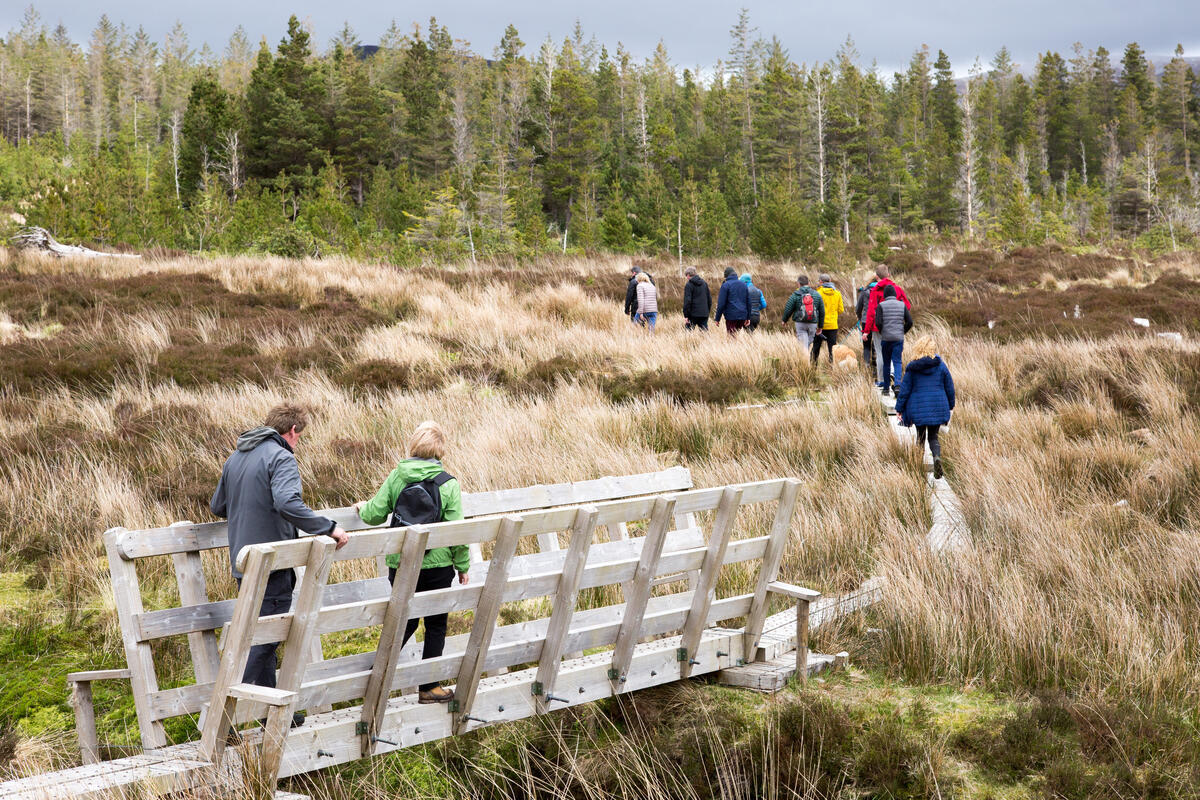
- Blanket Bog – The surrounding bogland is a living example of the rugged terrain described by Charles Browne in 1893, with deep, evenly spaced drainage lines that cut through the landscape.
Wildlife & Birdwatching
The cliffs and headlands around Portacloy provide excellent opportunities for birdwatchers. Guillemots, razorbills and kittiwakes are commonly seen nesting on the sea stacks, while peregrine falcons patrol the higher crags. The surrounding waters are frequented by seals, and the sandy beach is a good spot for spotting dab and flounder during low tide.
Practical Information
Portacloy is accessible only by private transport; there are no scheduled bus services. From Ballina, follow the R314 westward, then take local signage toward the village. The drive from Glenamoy follows narrow, scenic country roads. Parking is free at the beach and at the start of the Benwee Head trail, with a small lay‑by for cars.
The beach has no lifeguard service, but the water is calm enough for confident swimmers. There are no public toilets or shops in the hamlet, so visitors should come prepared with water, food and any required facilities. The nearest public toilets are in Belmullet (≈15 km). The old harbour is open year‑round and fishing is permitted, though anglers should respect local practices and avoid disturbing the small fleet.
The 18 km loop is best tackled in dry weather; sections of the trail can become slippery after heavy rain. The path is well‑marked with purple arrows and occasional stone gates, but a basic level of fitness is advisable. For those who prefer a shorter walk, the loop can be broken at the Éire 63 sign, allowing a 3‑4 km return to the beach.
For navigation, the coordinates 54.33152 N, 9.7838 W can be entered into any GPS device or Google Maps. Detailed maps and trail information are available on the Discover Ireland page and the regional tourism authority site.
Getting Around
- By Car – The most reliable option; the R314 provides the main access.
- By Bicycle – The quiet country lanes are popular with cyclists, though the terrain can be demanding in places.
- On Foot – The village itself is compact; most attractions are within walking distance of the harbour.
Facilities
- Parking – Free, on‑site at the beach and trailhead.
- Accommodation – While Portacloy has no hotels or B&Bs, a range of self‑catering cottages, guesthouses and hotels are available in nearby Ballina, Belmullet and other coastal towns. Booking in advance during the summer months is advisable.
- Dining – No restaurants in the hamlet; the nearest eateries are in Ballina (≈30 km) and Belmullet (≈15 km).
When to Visit
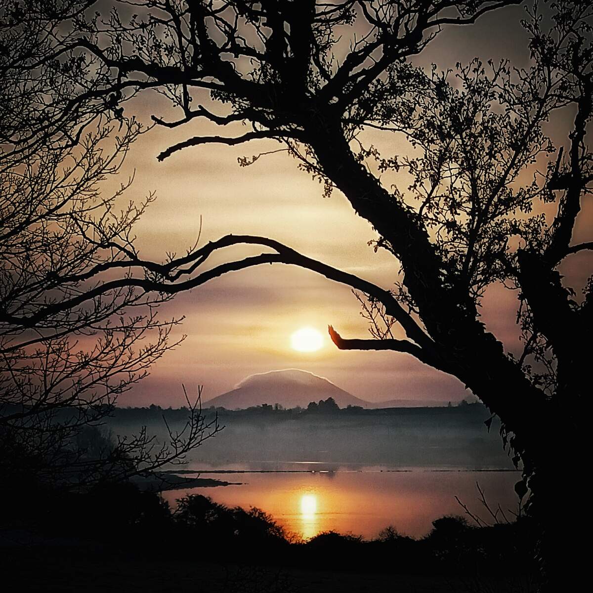
The beach and cliff walks are spectacular in summer when the sun illuminates the sea stacks, but the dramatic winter light over the Atlantic also offers a hauntingly beautiful experience. The restored LOP 63 is particularly evocative after a storm, when the sea is rough and the sky broods over the cliffs.
Nearby Attractions
- Ballycroy National Park – Just a short drive north, the park offers extensive walking routes, wildlife hides and the famous Bangor Trail, a rugged 29 km trek across the bogland.
- Bangor Trail – For experienced hikers, this trail starts near Bangor Erris and traverses some of the wildest scenery in north Mayo.
- Achill Island – Accessible via the nearby bridge, the island provides additional beaches, cliffs and cultural sites such as the Achill Archaeological Field School.
Portacloy may be small, but its blend of natural grandeur, quiet heritage and unspoiled coastline makes it a rewarding stop on any Wild Atlantic Way itinerary.