Overview
Nestled on the eastern shore of the Mullet Peninsula, Binghamstown (Irish: an Geata Mhór, also historically known as Saleen) is a quiet village that offers a glimpse into County Mayo’s landlord‑era past. With a population of just 106 people according to the 2011 census, the settlement feels more like a living museum than a typical tourist stop. Its single, gently winding street runs parallel to the R313 regional road, affording visitors uninterrupted views of Saleen Bay and the rugged Atlantic coastline beyond.
Name and Early Settlement
The place was originally recorded as Ballymacshedon, an anglicisation of an older Irish name. In the late 18th century the Bingham family arrived from England, built a castellated manor (Binghamstown House) and deliberately renamed the settlement after themselves. The Irish name an Geata Mhór – “the Big Gate” – refers to the toll gate that once stood at the road’s entrance, where travellers and livestock paid a levy before heading to the Belmullet fair.
History
The Bingham family’s influence began in 1796 when Major Denis Bingham commissioned the construction of Binghamstown House on the northern edge of Elly Bay. Although the house was demolished long ago, its low, grass‑covered foundations remain a subtle reminder of the estate’s former grandeur.
The same year the village was laid out as a landlord village – a straight, single‑street settlement designed to serve estate workers and tenants. By 1817 a main road linked Castlebar to Erris, and in 1824 that road passed directly through Binghamstown, cementing its role as a local hub.
Lewis’s 1837 Topographical Dictionary records that Binghamstown (also called Saleen) had a market‑house, a court‑house where petty sessions were held each Thursday, a constabulary police station, a parish church (a neat plain edifice) and a Roman‑Catholic chapel. The village also hosted a fair on the first day of every month, drawing traders from across Erris. The fair, together with the market‑house, gave the settlement a bustling commercial character that faded in the late 19th century.
A landing pier, erected by the late Fishery Board in the 1820s to designs by engineer Alexander Nimmo, facilitated the export of corn and potatoes to Westport and the import of assorted goods. The stone foundations of the pier are still visible and provide a picturesque backdrop for walkers.
What to See & Do
- Stroll the Village Street – Traditional stone cottages, a modest shop and historic plaques line the road. Look for the information board marking the former “Big Gate” location.
- Explore the Foundations of Binghamstown House – A short walk off the main road leads to the grass‑covered footings of the 1796 manor.
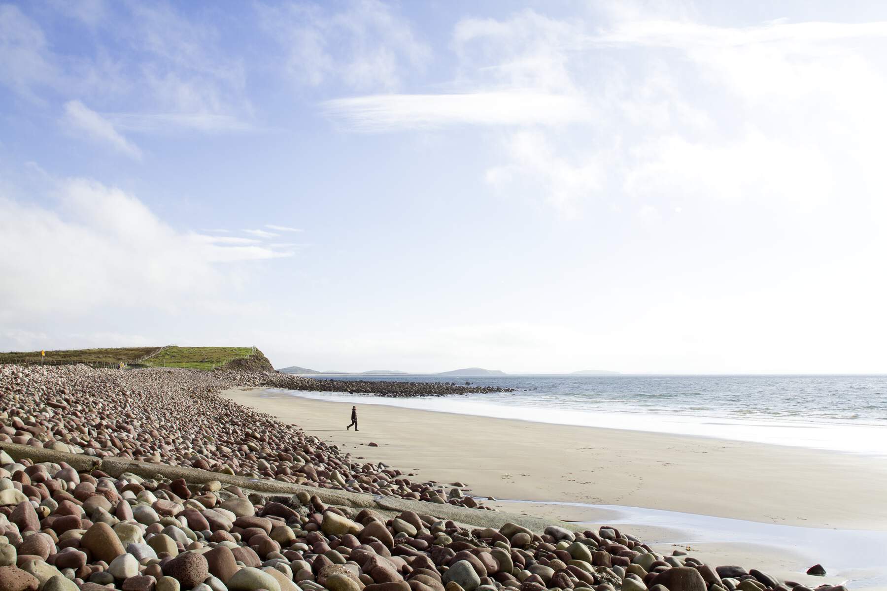
- Visit Saleen Bay and the Old Nimmo Pier – The pier offers sweeping views of the bay, Claggan Island and the Achill mountains on clear days.
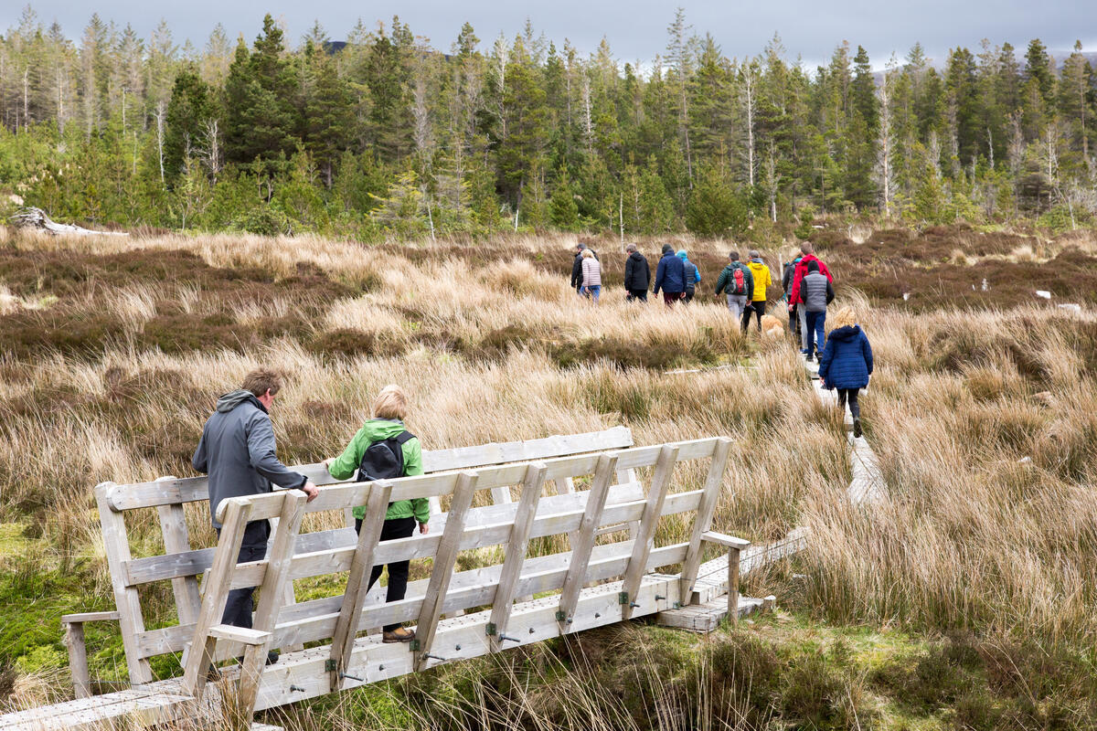
- Coastal Walks & Bird‑watching – The R313 provides access to several marked trails heading east toward the cliffs and west toward the wild Atlantic way. The peninsula is a noted bird‑watching area, especially during spring and autumn migration.
- Local History Walk – Follow the “Big Gate” board, locate the old market‑house site and imagine the monthly fair that once filled the street.
- Photography – The combination of historic stonework, open sea, and distant island silhouettes makes for striking photos, particularly at sunrise or sunset.
Walking, Wildlife & Photography
The village is an excellent base for the Mullet Peninsula coastal loop, a 10‑km walk that traverses sandy beaches, rugged cliffs and heathland. Wild Nephin National Park lies a short drive to the south, offering additional hill‑walking and wildlife spotting opportunities. Keep an eye out for sea‑eagles, oystercatchers and red‑breasted mergansers along the shoreline during migration periods.
Accommodation
Binghamstown has no dedicated hotel, but a range of self‑catering cottages and holiday homes are available through local rental platforms (e.g., Airbnb). These properties often provide sea views, private parking and easy walking access to the village and surrounding beaches.
Practical Information
Getting There – Binghamstown lies on the R313, a well‑maintained regional road that connects the village to Belmullet (≈ 3 mi north‑west) and other coastal settlements. The drive from Belmullet takes about ten minutes; signage for Binghamstown is clear from the main road.
Parking – Free roadside parking is available along the R313 and in small lay‑bys near the village centre. Some spaces are unpaved, so a vehicle with reasonable ground clearance is advisable.
Accessibility – The village street is largely level, but historic cobbles and uneven surfaces may challenge wheelchair users or those with limited mobility. The pier approach is a short, unpaved path that can be slippery when wet.
Facilities – No visitor centre exists, but a modest shop offers basic refreshments and local crafts. Public restrooms are not available in the village; the nearest facilities are in Belmullet.
Dog‑friendly – The coastal walks and village streets are generally dog‑friendly, provided pets are kept on a lead near traffic.
Seasonal Considerations – The monthly fair no longer operates, but late summer brings abundant wild‑flower displays along the coastal paths. Early autumn is prime for bird‑watching.
Public Transport
Binghamstown is served by Bus Éireann route 446, which runs between Ballina and Blacksod and stops in the village. Timetables are available on the Bus Times website. This service provides a convenient link for visitors without a car.
Local Services
The Drum/Binghamstown Group Water Scheme Co‑Operative supplies water to the area. While not a visitor attraction, the scheme’s office is located in the village and can be useful for anyone planning a longer stay or needing local contact details.
Nearby Attractions
- Belmullet Heritage Centre (≈ 5 km) – exhibits on local history and culture.
- Ballycroy National Park (≈ 15 km) – wild landscapes, boardwalks and the visitor centre at Ballycroy Village.
- Carne Golf Links (≈ 6 km) – a championship‑standard course with sea views.
- Achill Island – reachable via the R313 and a short ferry or bridge crossing for day‑trips.
Population & Statistics – According to the 2011 census, Binghamstown’s population stood at 106 residents. The village forms part of the electoral division of An Geata Mór Thuaidh.
| Statistic | Value |
|---|---|
| Population (2011) | 106 |
| County | Mayo |
| Road access | R313 regional road |
Further Reading – For deeper historical insight, see Memoirs of the Binghams by Rose Elizabeth McCalmont (1995) and James Fraser’s Handbook for Travellers in Ireland (1844). Lewis’s 1837 Topographical Dictionary also provides a contemporary snapshot of the village’s market‑house, court‑house and monthly fair.