Overview
The Bluestack Mountains – also called the Croaghgorms – dominate the southern horizon of County Donegal. Their granite peaks, sculpted by the last Ice Age, reach a maximum height of 674 m at Croaghgorm, while the rounded Silver Hill (600 m) holds the title of the smallest Irish mountain to meet the Simms classification. The range forms a natural barrier between Donegal Town and Ballyshannon in the south and the Gaeltacht towns of Dungloe and Letterkenny to the north, with the Barnesmore Gap providing the historic low‑lying pass.
History & Background
The name Croaghgorm translates from Irish as “the blue mountain”, a nod to the violet‑tinged mist that often enshrouds the hills at sunrise and sunset. Geologically, the Bluestacks are the product of a violent clash between massive ice sheets and ancient granite bedrock about 12,000 years ago, leaving sheer boulders, scraped pavements and deep corries – the landscape’s “fresh wounds”.
Human history is equally rich. The area was once home to a thriving Gaeltacht community, and scattered across the moorland are relics such as the mountain graveyard at Disert, an early‑Christian burial site perched on a remote plateau. Folklore speaks of wandering spirits and hidden fairy forts, adding a layer of mystique to the rugged scenery.
What to See & Do
Summit Highlights
- Croaghgorm (674 m) – a demanding summit that rewards walkers with panoramic vistas across six Irish counties on a clear day.
- Silver Hill (600 m) – a modest climb offering excellent photo opportunities of the surrounding valleys.
Lakes & Waterways
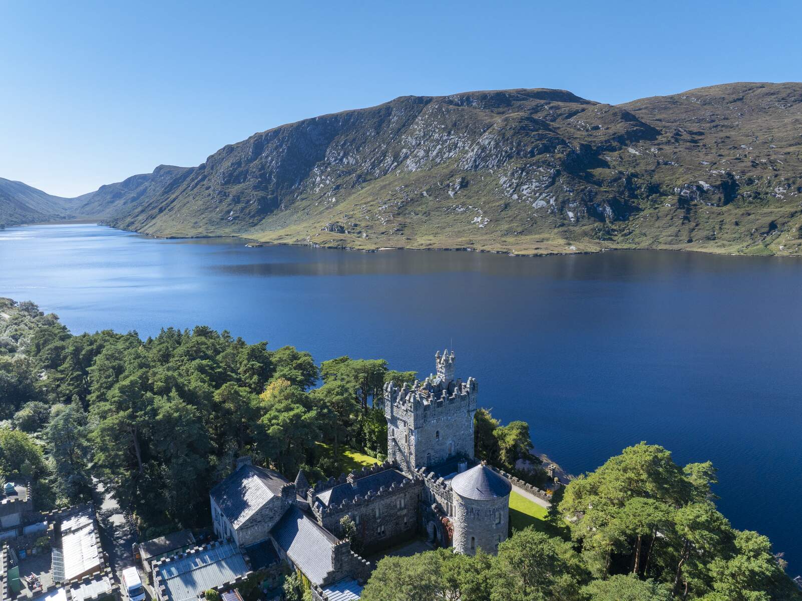
- Lough Belshade – a remote, mirror‑like lake on the western flank of Croaghgorm, often described as the jewel of the Bluestacks.
- Lough Eske – a deep, calm lake at the foot of the range, famed for fishing and a scenic road that hugs its shoreline.
Wildlife & Wilderness
The Bluestacks support a surprising array of fauna: golden eagles patrol the ridges, red‑deer stags rut on the autumn bogs, otters play in the rivers, and red squirrels dart through hazel thickets.
The Bluestack Way
The Bluestack Way is a 65 km (officially 64.1 km) National Waymarked Trail that cuts a line through the heart of the mountains. Graded moderate and typically completed in three days, the trail is marked by a yellow arrow on a black background.
- Start/Finish – The Diamond in Donegal Town (east) to The Diamond in Ardara (west).
- Key sections:
Section Highlights Donegal Town → Lough Eske Lakeside walk, salmon run, freshwater pearl mussel, petrifying springs, oak‑fern woodland Lough Eske → Disert Foothills, ancient mountain graveyard at Disert Disert → Croaghgorm Ascents to the highest summit, views over Barnesmore Gap Croaghgorm → Ardara Descent through rugged moorland, arrival at historic Ardara - Practical notes – Dogs are not permitted on private‑land sections (the first private stretch begins at Owenboy north of Donegal Town). The trail opened in 2000, funded by the EU Peace and Reconciliation Fund and built by workers on a FÁS Community Employment Scheme. A 2010 review upgraded it to the National Long Distance Trail standard, and it is slated for inclusion in the Irish leg of the International Appalachian Trail.
Events & Festivals
The Bluestack Way passes close to Ardara, a town that hosts a number of cultural events each year. From 1 – 4 May 2026 the Cup of Tae Festival will take place in Ardara, offering live music, craft stalls and local food – a pleasant way to celebrate the end of a walking day. The festival is a good opportunity to experience Donegal’s community spirit and to rest before the next stage of the trail.
Nearby Attractions
- Ardara Heritage Centre – a small museum showcasing the town’s history, traditional crafts and the famous Ardara lace. It lies just a short walk from the western trailhead and makes a worthwhile cultural stop.
- Barnesmore Gap – the historic mountain pass that the Bluestacks flank. The road through the gap offers dramatic views and is a popular photo spot for cyclists and motorists.
- Glenties – a charming village with several B&Bs and a lively pub scene, ideal for an overnight stay on the central section of the Way.
Practical Information
- Best time to walk: Late spring to early autumn, when daylight is long and the mountain streams are full.
- Accommodation: Bed‑and‑breakfasts and guesthouses are available in Donegal Town, Ardara and the villages of Glenties and Letterkenny for staging the three‑day trek.
- Transport: Donegal Town is reachable by bus from Dublin and Belfast; Ardara has limited local bus links. Both start and finish points have secure parking for cars (please confirm exact facilities before arrival).
- Maps: The route is covered by OS Discovery Series map sheets 9 (Donegal Town) and 10 (Ardara). Waymarks are frequent, but a detailed guidebook is recommended for the more remote sections.
- Safety: Weather can change rapidly; walkers should carry waterproof clothing, a map, compass and sufficient food and water. Mobile signal is intermittent in the higher reaches.
- Leave No Trace: The Bluestacks are a protected landscape; visitors are asked to stay on marked paths, take litter home and avoid disturbing wildlife.
- Dog policy: Dogs are prohibited on private‑land sections of the trail, beginning at Owenboy north of Donegal Town. Check local signage for any updates.