Overview
Corranabinnia Lough is a small, high‑altitude lake set on the western flank of Corranabinnia, one of County Mayo’s most striking mountains. The lake sits within the Nephin Beg Range, a remote and largely unspoiled part of north‑Mayo that is prized by walkers for its dramatic scenery and sense of isolation. The lough is surrounded by a series of corries – steep, bowl‑shaped valleys – and glens that cascade down from the mountain’s summit, creating a mosaic of water, rock and verdant pasture.
The Irish name Coire na Binne translates roughly to “hollow of the peak”, a fitting description for the basin that cradles the lake. While the mountain itself reaches 716 m (2,346 ft) and is the second‑highest summit in the Nephin Begs, the lough lies at a lower elevation, collecting runoff from the surrounding slopes and feeding the network of streams that eventually join the larger river systems of Mayo.
History & Background
The lake’s history is intertwined with the cultural landscape of the region. The Nephin Beg Range has long been a place of Gaelic folklore and pastoral farming, and the corries and glens that surround Corranabinnia Lough have been used for seasonal grazing for centuries. The mountain and its environs appear in early Irish place‑name records, with the alternative English name “Cushcamcarragh” also recorded for the peak. Although there are no major historic structures directly on the lough’s shore, the area bears the imprint of traditional hill‑driving routes that linked remote townlands across the rugged terrain.
Flora & Bryology
Corranabinnia Lough is notable to botanists for supporting rare bryophyte species. A 2015 field‑bryology report records the lough as a site for the liverwort Radula voluta, a species of conservation interest in Ireland. The presence of this liverwort indicates clean, oligotrophic water and well‑preserved upland habitats. Walkers with an eye for lichens and mosses may also encounter a variety of common mountain species such as Racomitrium lanuginosum and Sphagnum spp., especially in the wetter corries surrounding the lake.
What to See & Do
Scenic Walks
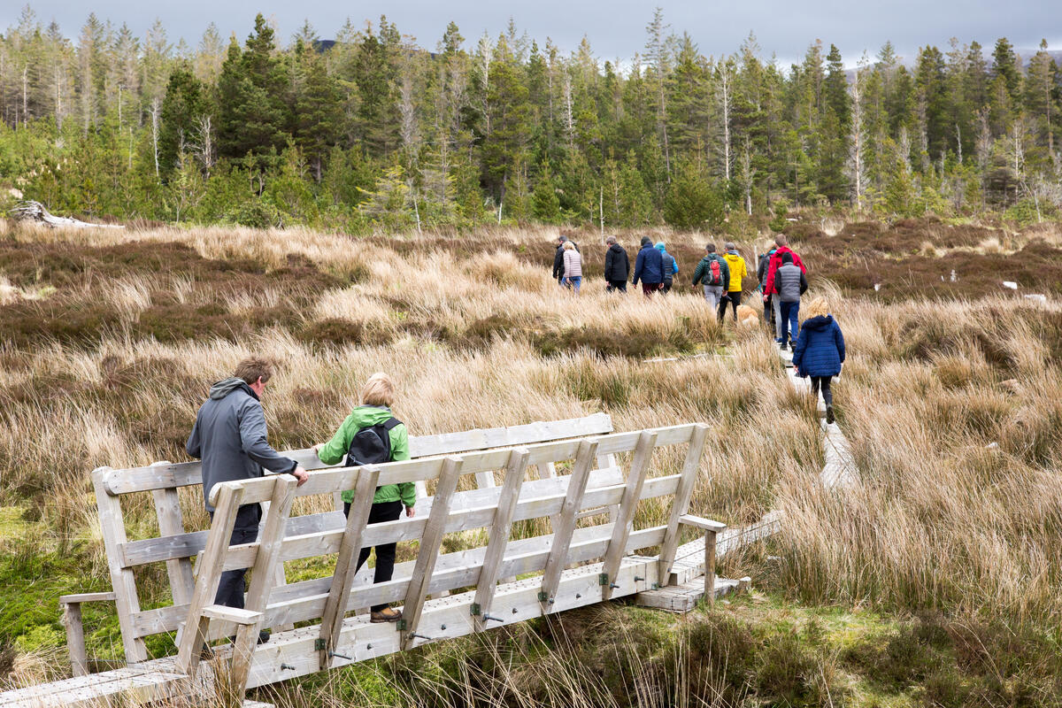
The lough is most often visited as part of a longer hill‑walking itinerary that includes the summit of Corranabinnia. The popular ridge walk that leads to the SW Top of Corranabinnia (also known as Corranabinnia W Top) is described by walkers as an “Excellent Ridge Walk with Scrambling”. From the ridge, hikers are rewarded with sweeping views of the lake below, its surface mirroring the sky and the surrounding peaks. The route traverses a series of spurs, including Bengorm to the east, and passes close to other notable corries such as Corryloughaphuill, Glennamong, Glendahurk and Glenthomas.
Wildlife & Angling
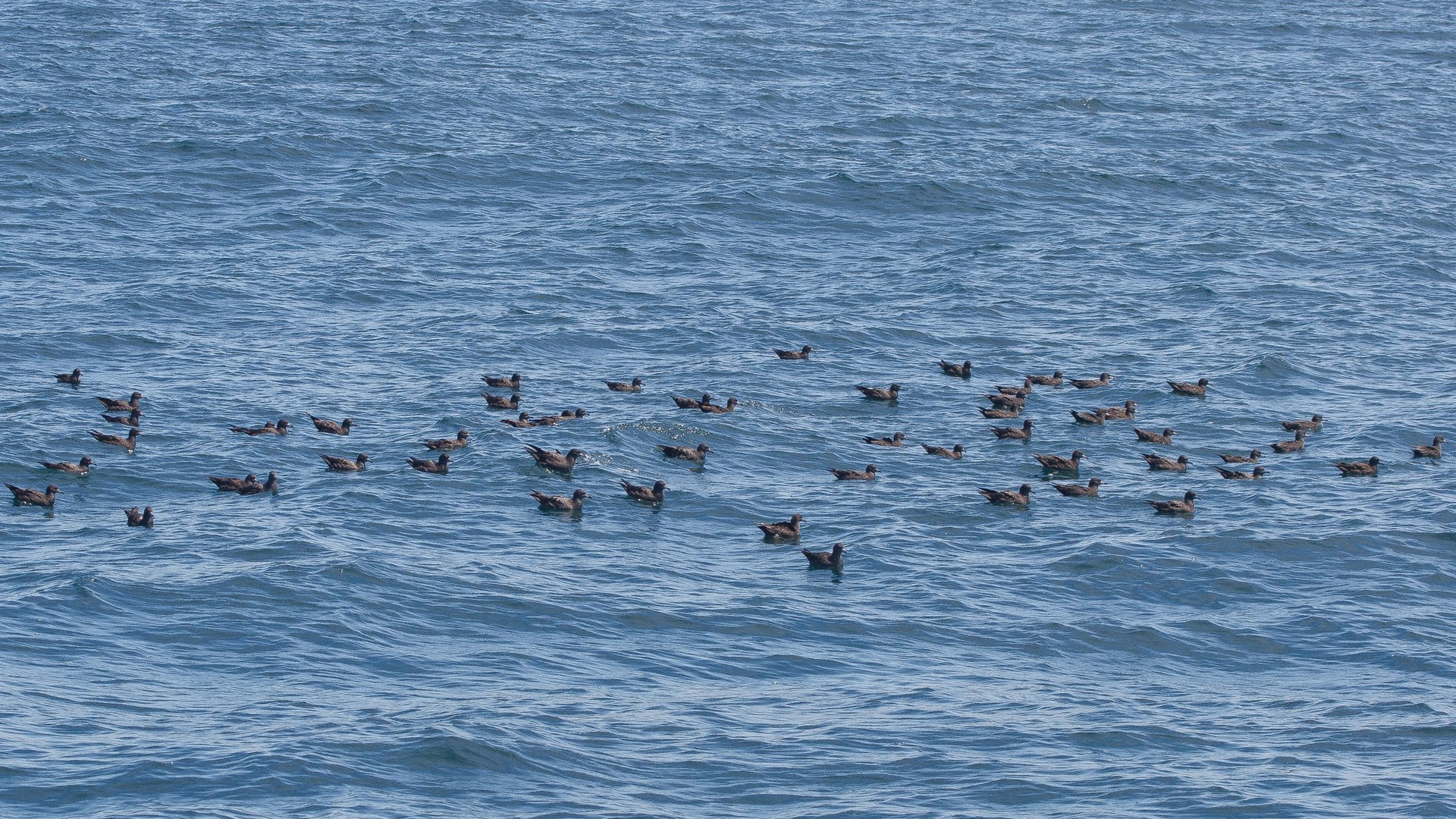
The lake’s clear waters and the surrounding upland habitats support a modest array of wildlife. Birdwatchers may spot meadow pipits, skylarks and, on occasion, the golden‑eyed wren that favours the heather‑covered slopes. The water can host small trout; anglers are welcome but should adhere to the local fishing regulations administered by Mayo County Council and practice catch‑and‑release where required.
Photography
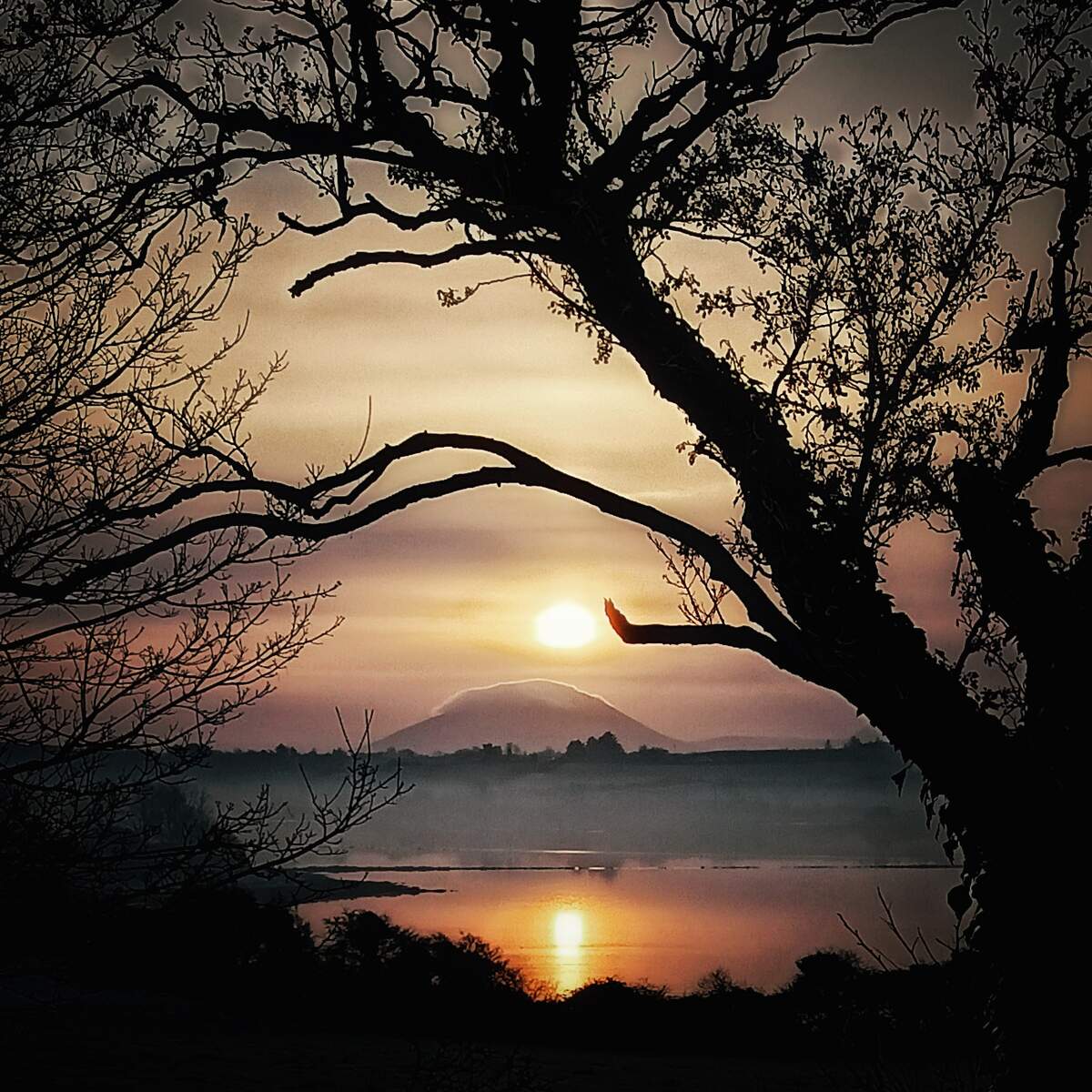
Photographers are drawn to the lake’s reflective surface, especially during the golden hours of sunrise and sunset when the light paints the surrounding mountains in warm hues. The juxtaposition of still water against the rugged backdrop creates a classic Irish landscape composition that is frequently featured in travel magazines.
Dogs
Open country access means dogs are permitted, but they should be kept on a lead in the more sensitive corrie areas to protect nesting birds and delicate bryophyte colonies.
Practical Information
Corranabinnia Lough is situated in a remote part of County Mayo, and there are no formal visitor facilities such as parking lots, toilets or cafés on site. Access is therefore achieved on foot via established hill‑walking routes that start from nearby townlands such as Glencar or the village of Newport, which lies roughly 15 km to the south‑west. The nearest marked trailhead is on the R311 regional road, where a small lay‑by provides space for a few cars.
Because the area is open country, there is no admission fee and the lake is free to visit. The terrain can be boggy in places, and the paths are often un‑metalled, so sturdy walking boots with good ankle support are advisable. The ridge walk to Corranabinnia’s SW Top involves sections of scrambling, so less‑experienced walkers may wish to hire a local guide or join a walking group.
The weather in north‑Mayo can change rapidly, and fog is common in the higher corries, so a reliable map (OSi50 sheet 030) and a compass are essential. Mobile phone reception is limited, so it is prudent to let someone know your intended route and expected return time. Dogs should be kept under control, and anglers must carry a valid fishing licence.
For those interested in further details on the mountain routes, the MountainViews website provides user‑generated GPS tracks and recent trip reports that can be downloaded for free. The site also lists the grid reference for Corranabinnia (F90307 03167) and the SW Top (F89768 02620), which can be useful for navigation.
Nearby Points of Interest
- Corranabinnia Mountain – 716 m, second highest in the Nephin Begs.
- Bengorm Spur – offers additional ridge walking opportunities to the east.
- Glennamong, Glendahurk, Glenthomas – picturesque glens that descend from the mountain’s slopes.
- Ballycroy (Wild Nephin) National Park – the wider protected area that includes the Nephin Beg Range and offers further walking, wildlife and cultural experiences.
Navigation Tips: use OS map 030, bring a compass, consider a guide for scrambling sections.
Safety Note: Hill‑walking in this area is classified as a risk sport. Walkers are responsible for their own safety and must respect any access restrictions that may apply.