Overview
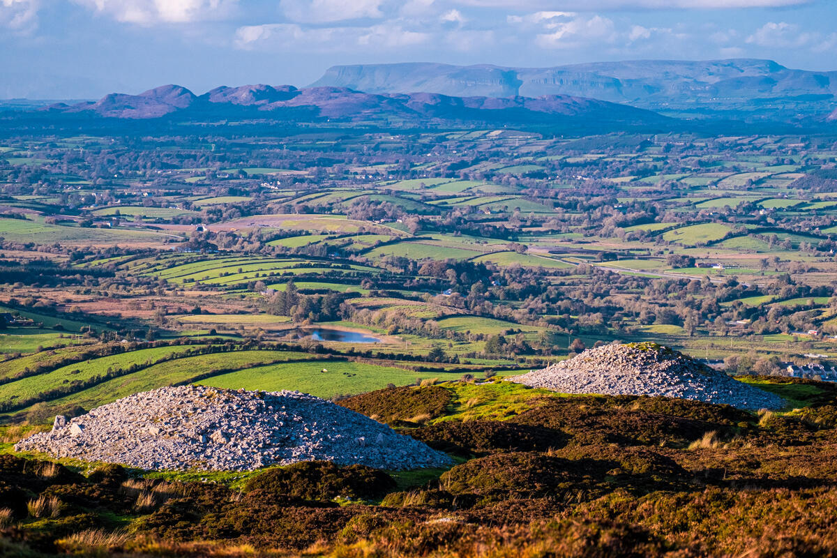
The Curlew Mountains (Irish: An Corrshliabh – “the steep‑sided pointed mountains”) form a low‑lying ridge of Devonian sandstone and conglomerate that separates Boyle in County Roscommon from Castlebaldwin in County Sligo. At 259 m (850 ft) high with a prominence of 197 m, they are the third‑highest point in Roscommon and the most southerly summit of the Arigna‑Bricklieve‑Curlew area. The range commands dramatic 360° panoramas over Lough Key, the River Shannon valley and, on clear days, the distant Slieve Bloom range.
Beyond the scenery, the hills support a rich mosaic of heath, bog‑grassland and open moor that attracts the Eurasian Curlew (Numenius arquata) – Ireland’s largest wader – whose mournful call can be heard echoing across the ridge in winter.
History / Background
Name and geology
An Corrshliabh predates the English name “Curlew”. The Irish term describes the terrain’s steep sides rather than any avian connection. The hills’ hard Devonian sandstone resists the surrounding Carboniferous limestone, giving the range its distinctive, rugged silhouette.
Battle of Curlew Pass (1599)
On 15 August 1599, Red Hugh O’Donnell’s forces ambushed an English army of about 2,000 men in the narrow Curlew Pass, securing a decisive Irish victory. The battlefield is still marked by the natural bottleneck of the pass and lives on in local folklore.
Cultural routes
The Curlews lie on two long‑distance walking networks:
- Miner’s Way and Historical Trail – a 118 km route that follows old Arigna coal‑field tracks, linking the Curlew, Bricklieve and Arigna Mountains and passing sites such as the Carrowkeel megalithic tombs, Labby Rock, modern wind farms and a stand of Sequoia trees on the Bricklieve slopes.
- Beara Breifne Way – another marked trail that weaves through the Curlews, offering connections to neighbouring Corry and Bricklieve Mountains.
What to See & Do
| Feature | Highlights |
|---|---|
| Summit (259 m) | 360° views of Lough Key, the Shannon, and distant mountain ranges. |
| Bird‑watching | Prime habitat for the endangered Eurasian Curlew, Common Snipe, Red Grouse and other waders. |
| Historical exploration | Walk the narrow pass of the 1599 battle; follow the Miner’s Way past ancient tombs and industrial relics. |
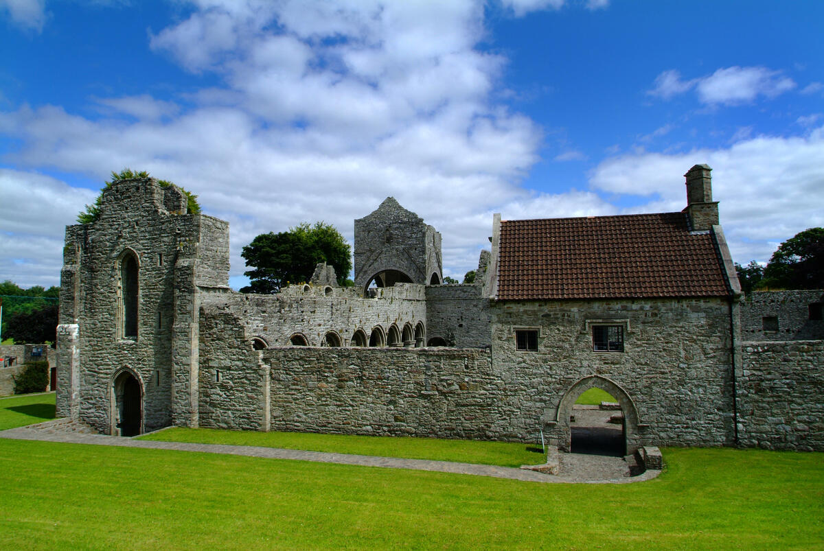
| Heritage sites nearby | Carrowkeel Megalithic Cemetery, McDermott’s Castle, Lough Arrow, King House. |
| Lough Key Forest & Activity Park | Family‑friendly trails, treetop adventure course, 19th‑century parkland. |
| Wind farms & modern landscape | Visible from the ridge, illustrating the blend of heritage and contemporary energy. |
Walking the Curlews
The most popular ascent begins at a lay‑by on the R368 just outside Boyle. A well‑trodden path climbs the gentle southern slope, crossing open heath and stone walls. The climb is moderately strenuous – about 200 m of ascent over 2 km – and typically takes 45 minutes to the summit. From the top, walkers can spot the line of wind turbines that crown the ridge and enjoy sweeping vistas across the surrounding lowlands.
Longer walkers can link the summit with the Miner’s Way or Beara Breifne Way for multi‑day treks, incorporating nearby heritage and natural attractions.
Practical Information
- Coordinates: 54°01′00″ N, 8°18′00″ W
- Access: Small car park on the R368 near Boyle (free parking, limited spaces). The same site serves as a trailhead for both the Miner’s Way and Beara Breifne Way.
- Difficulty: Moderate – steady climb, well‑marked paths, suitable for most walkers with reasonable fitness.
- Time to summit: ~45 minutes; full loop including heritage sites 2–3 hours.
- Best season: Late spring to early autumn for clear views and active birdlife; winter offers the curlew’s song but weather can be brisk.
- Facilities: No permanent facilities on the hill itself; nearby Lough Key Forest & Activity Park provides restrooms, café and picnic areas.
- Navigation: Trails are marked with orange‑white way‑marks (Beara Breifne Way) and brown Miner’s Way signs. A detailed OS map (Series 44) covers the area.
- Safety tips: Weather can change rapidly; carry waterproof clothing, a map, and a fully charged phone. Keep to the paths to protect fragile heath and nesting bird habitats.
The Curlew Mountains offer a compact yet richly layered experience – from ancient stone tombs and battlefield echoes to thriving wildlife and modern wind‑farm vistas. Whether on a short summit hike or a longer heritage trek, visitors leave with a vivid sense of Connacht’s natural and cultural heart.