Overview
The name Englishtown appears on Irish maps in seven counties: Antrim, Galway, Limerick, Londonderry, Tipperary, Waterford and Wicklow. In each case it designates a modest townland – a traditional land‑division that can be as small as a few farms or as large as a scattered hamlet. While none of the Englishtowns boasts a large visitor centre, the shared name hints at a historic English‑settled enclave within a predominantly Irish landscape. For the curious traveller, visiting an Englishtown is an invitation to wander through quiet lanes, discover field‑stone walls, and soak up the ambience of a place that has quietly persisted for centuries.
Historical Context
The Irish townland is a uniquely local land‑division system that predates the Norman invasion. When English administration took hold after the Tudor conquest, many townlands were given Anglicised names, often describing the language spoken by the inhabitants or the function of the area. Englishtown most likely originated as a practical descriptor for a settlement where English‑speaking families lived, distinguishing it from surrounding Gaelic‑named lands.
These names survived the Plantation era and were recorded on the Ordnance Survey maps of the 19th century. Today they remain official entries on the List of townlands for each county, preserving a subtle reminder of the complex social history of the island.
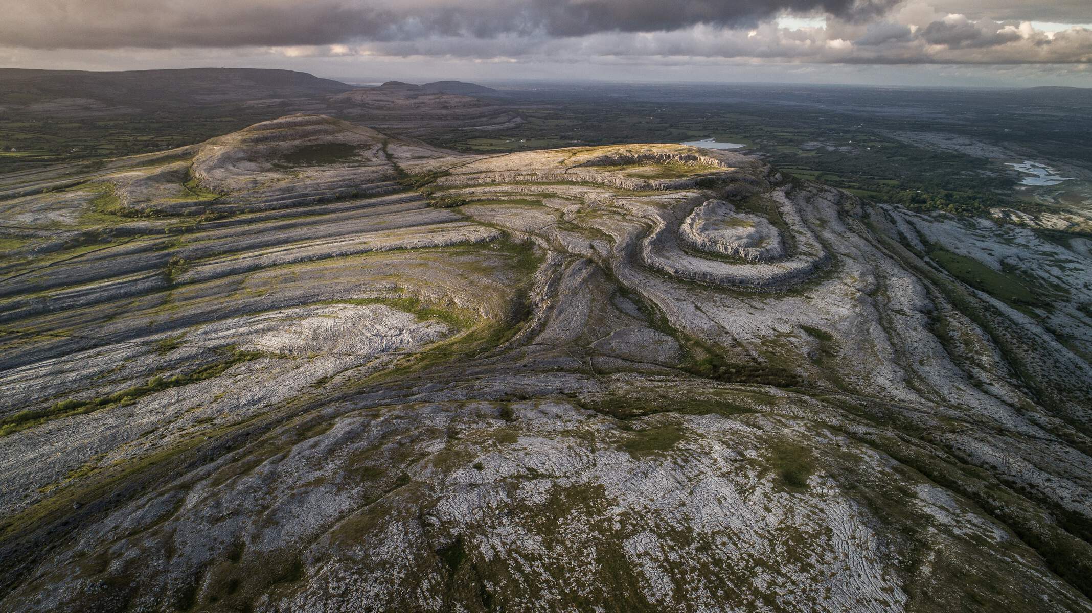
Location Details – Englishtown (County Galway)
Englishtown lies in the civil parish of Killoran, within the barony of Longford in north‑west Galway. It covers 91.48 ha (0.35 sq mi) and is positioned at 53° 14’ 04” N, 8° 20’ 09” W. The townland borders Ardberreen (south), Cloonlahan (Eyre) (east), Derreenboy (east), Killoran (north), Springfield (west) and Walshtown (south). A detailed map is available on Townlands.ie.
Digital Heritage Resources
In 2025 Galway County Council, the University of Galway and local heritage groups launched a digital “StoryMap” project that brings the history of county townlands online. While the flagship StoryMaps focus on six historic parishes, the underlying research covers thousands of townlands, including Englishtown. Visitors can explore interactive maps, historic census records and old Ordnance Survey letters at the Galway County Heritage Trails website (see the StoryMap at tinyurl.com/StoryMapGalway and the townland database at tinyurl.com/townland). These resources provide a deeper understanding of the landscape patterns, family names and land‑use changes that have shaped Englishtown over the centuries.
County Highlights – What to See Near Each Englishtown
| County | Nearest Englishtown | Nearby Attraction(s) |
|---|---|---|
| Antrim | Glenarm Lower barony | Coastal cliffs of the Antrim Coast (Giant’s Causeway is a half‑day’s drive away) |
| Galway | Fringe of Connemara | Access to the lower slopes of Connemara National Park and the Atlantic‑kissed hills around Clifden |
| Limerick | Golden Vale | Historic market town of Mitchelstown with its 19th‑century castle |
| Londonderry | River Foyle plains | The UNESCO‑listed walled city of Derry, with its historic walls |
| Tipperary | Shadow of the Galtees | The Galtee Mountains – home to Ireland’s highest inland peak, Galtymore, and the popular Galtymore Loop hike |
| Waterford | Foothills of the Comeragh range | Mahon Falls in the Comeragh Mountains, a favourite photography spot |
| Wicklow | Glencree Valley | The historic Glencree Centre for Peace and Reconciliation and gentle riverside walks |
These highlights give a quick reference for travellers who wish to combine a brief visit to an Englishtown with a nearby point of interest.
Heritage Touchpoints
While the townlands themselves lack dedicated museums, each county’s heritage infrastructure provides context. In Antrim, the nearby Ballymena Museum showcases local agricultural tools that would have been used in Englishtown farms. Galway’s Connemara Heritage & History Centre offers exhibitions on the English plantations that gave rise to names like Englishtown. Limerick’s Hunt Museum displays artifacts from the Golden Vale’s farming past.
In Londonderry, the Museum of Free Derry tells the story of the city’s 20th‑century struggles, echoing the broader Anglo‑Irish history reflected in the townland’s name. Tipperary’s Tipperary Museum of Hidden History includes sections on the Galtee region’s medieval settlements. Waterford’s Waterford Treasures complex houses a collection of Anglo‑Norman artifacts, while Wicklow’s Wicklow County Museum presents the county’s monastic and plantation heritage.
Community Events
Many Englishtowns participate in county‑wide festivals. In Antrim, the County Antrim Agricultural Show showcases livestock and crafts that echo the townland’s farming roots. Galway’s Connemara Summer Festival features traditional music sessions held in village halls near the Englishtown area. Limerick’s Golden Vale Food Festival celebrates local produce, offering a taste of the region’s dairy heritage.
Practical Tips for Visiting Rural Townlands
Getting There
Englishtown townlands are accessible by car via the main regional roads that thread through each county. In Antrim, the A2 coastal road provides a scenic approach. Galway’s Englishtown is reached via the N59, while Limerick’s version lies off the N24. Londonderry’s Englishtown is near the A2 (Belfast‑Derry) route. Tipperary’s Englishtown can be accessed from the N74, Waterford’s from the N25, and Wicklow’s from the N11.
Public transport options are limited, reflecting the rural nature of the sites. The nearest train stations are Belfast Central (Antrim), Galway Ceannt (Galway), Limerick Junction (Limerick), Derry/Londonderry (Londonderry), Clonmel (Tipperary), Waterford Plunkett (Waterford) and Wicklow (Wicklow). From these stations, local bus services or taxis can complete the final leg.
Parking & Accessibility
Most Englishtown townlands have free roadside parking on minor roads. The terrain is generally flat to gently undulating, making the area suitable for walkers of moderate ability. Formal wheelchair‑friendly paths are not documented; visitors requiring specific accommodations should plan routes that stay on well‑maintained public rights‑of‑way.
Visitor Facilities
There are no dedicated visitor centres within the Englishtown townlands. Amenities such as public toilets, cafés and shops are typically found in the nearest larger villages or towns – for example, Ballymena (Antrim), Clifden (Galway), Mitchelstown (Limerick), Derry City (Londonderry), Cahir (Tipperary), Dungarvan (Waterford) and Glendalough (Wicklow). Seasonal farmers’ markets in these towns often sell locally produced foods, crafts and textiles, providing a pleasant stop after a countryside walk.
Best Time to Visit
The rural character of Englishtown shines year‑round. Spring brings blooming wildflowers across the fields, while summer offers long daylight hours for extended hikes. Autumn colours are especially striking in the Wicklow and Galway townlands, where oak and birch forests turn gold and amber. Winter is quiet, with fewer tourists, allowing a peaceful experience of the landscape.
Suggested Itinerary
A one‑day itinerary might include:
- Arrive in the nearest town (e.g., Ballymena, Clifden, Mitchelstown).
- Pick up a local map or use a GPS app to locate the Englishtown townland.
- Walk a loop of 3‑5 km through fields, hedgerows and any nearby woodland.
- Stop at a local café for a traditional Irish tea or a hearty stew.
- Visit a nearby heritage site or museum to contextualise the English‑settlement name.
For a longer stay, consider basing yourself in the nearest village and using the Englishtown as a base for multiple day‑trips across the county’s attractions.
Englishtown may not have the grand monuments of a city, but its scattered presence across Ireland offers a subtle, authentic slice of rural life. Whether you are tracing the legacy of English plantations, seeking quiet walks, or simply enjoying the patchwork of fields that define the Irish countryside, a visit to any of the Englishtown townlands adds depth to a journey through the Emerald Isle.