Overview
Magho Viewpoint sits on a striking 300‑metre‑high limestone escarpment in the heart of the Cuilcagh Lakelands UNESCO Global Geopark. The cliff line stretches roughly 1.4 km (about 5.5 miles) and is designated an Area of Special Scientific Interest, supporting a diverse array of butterflies, birds and native flora. From the main viewpoint you can see Lower Lough Erne spilling across the landscape, with the horizon opening to the counties of Fermanagh, Sligo, Tyrone and Donegal, and even the distant Wild Atlantic Way.
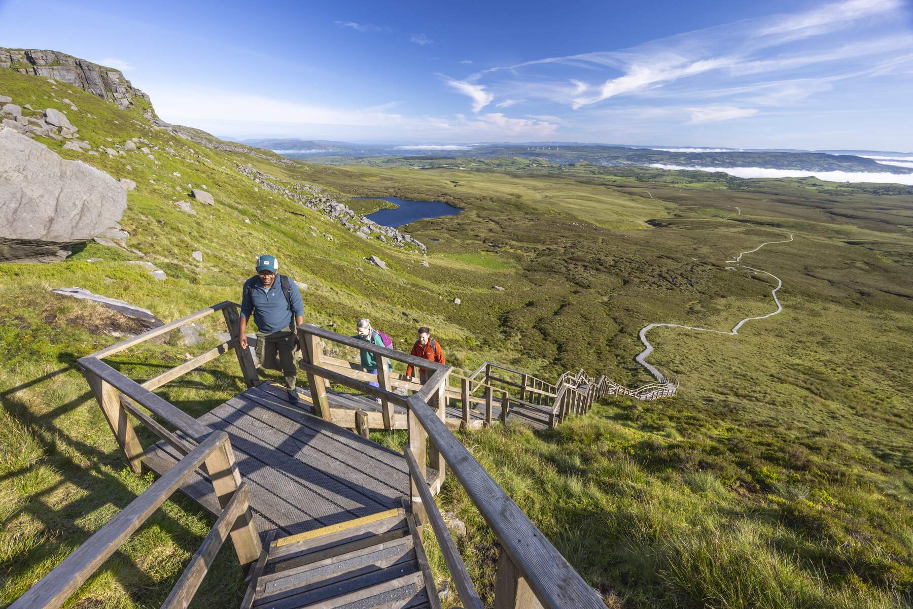
The walk is classified as Difficult and is best tackled by confident hikers who enjoy a mix of forest track and open cliff‑edge sections. The trail is linear, taking roughly 20 minutes to cover the 1.5‑mile (2.5 km) distance, though most visitors spend longer admiring the scenery.
History & Background
While the cliffs themselves are ancient limestone formations, their modern significance stems from conservation and tourism. The area was incorporated into the Cuilcagh Lakelands UNESCO Global Geopark, highlighting its geological importance and its role in preserving the unique habitats that thrive on the limestone substrate. The designation has helped protect the site’s butterfly and bird populations, making it a key spot for nature enthusiasts.
What to See & Do
- Panoramic Viewpoint – At the summit, the viewpoint offers a bird‑eye perspective across Lower Lough Erne and the surrounding lowlands. On clear days the vista stretches to the Atlantic coastline.
- Wildlife Watching – The cliffs host a variety of indigenous butterflies and birds. Keep an eye out for peregrine falcons, skylarks and the colourful meadow brown butterfly.
- Two Starting Options – Hikers can begin at the Magho Cliffs Viewpoint carpark on Loughshore Road (which includes toilet facilities) and ascend the cliff, or start from the top in Lough Navar Forest and descend along the marked black route.
- Connecting Trails – The black‑route markers guide walkers back down the cliff’s contours, weaving through woodland and open patches that provide intermittent glimpses of the escarpment below.
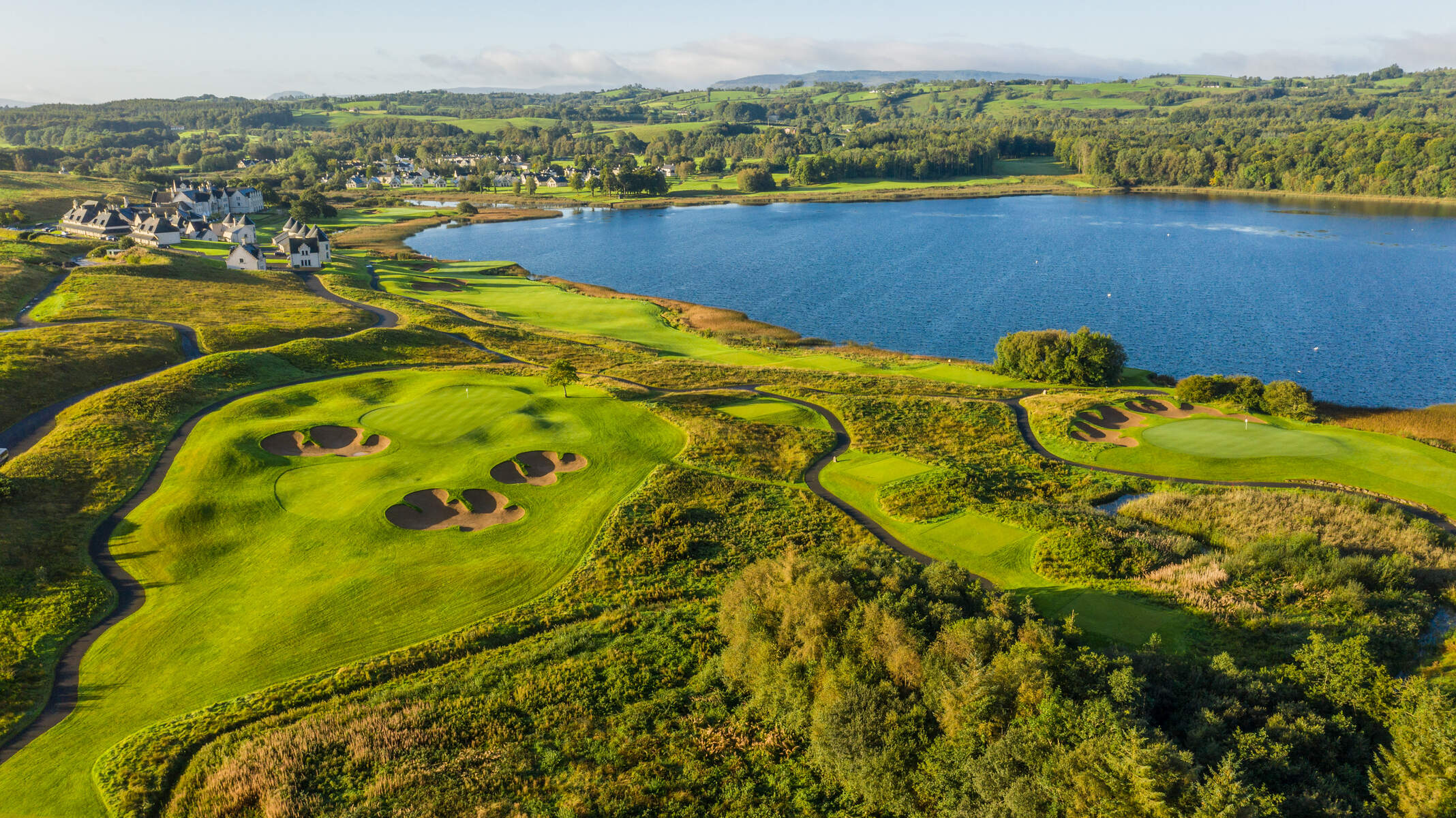
- Geopark Exploration – As part of the larger Cuilcagh Lakelands Geopark, the viewpoint serves as a gateway to nearby attractions such as Castle Archdale Country Park, Tully Castle and the Blackslee Waterfall Walk.
Practical Information
Magho Viewpoint is accessed via a dedicated carpark on Loughshore Road (postcode BT93 6AH). Basic toilet facilities are available at the carpark. The trail is not wheelchair accessible and features steep, uneven sections that require sure‑footedness. Dogs are permitted but must be kept under control and owners are required to dispose of waste responsibly.
Key Details
| Feature | Information |
|---|---|
| Distance | 1.5 mi / 2.5 km |
| Grade | Difficult |
| Terrain | Mostly forest track |
| Route | Linear |
| Wheelchair accessible | No |
| Dogs | Must be kept under control; waste must be disposed of |
| Starting point | Magho Cliffs Viewpoint carpark |
| Phone | +353 71 985 3692 |
| Website | Fermanagh Lakelands – Magho Cliffs Walk |
| Map | View on Google Maps |
The carpark is free of charge and provides easy access for those arriving by private vehicle. Public transport options are limited; most visitors drive from nearby towns such as Enniskillen (approximately 5 miles away). For additional route details, a downloadable PDF map is available on the Waterways Ireland page: Magho Cliffs Walk Map (PDF).
Nearby Attractions – Within a short drive you can explore Tully Castle (2.9 mi), Monea Castle (3.2 mi) and Castle Archdale Country Park (5.5 mi), all offering complementary historical and natural experiences.
Contact – For any enquiries, call the local information line at +353 71 985 3692.
Enjoy the raw beauty of Magho Viewpoint, where the limestone cliffs meet the sky and the landscape unfolds in a tapestry of water, bog and forest.