Overview
Leath Mogha (sometimes rendered Leath Moga) is the legendary southern half of ancient Gaelic Ireland. The name translates to “Mug’s Half”, referring to the mythic king Éogan Mór Mug Nuadat. The dividing line is the Esker Riada, a glacial ridge that runs east‑west from Dublin Bay to Galway Bay. In Celtic lore the ridge was called An Slí Mór – “The Great Highway” – and it formed the natural backbone of the island, separating the north (Leath Cuinn) from the south (Leath Mogha).
The Esker Riada is a system of gravel and rock ridges deposited about 10,000 years ago as the last ice‑age glaciers retreated. Today the ridge is visible as a series of low, undulating hills flanked by bogland, especially in County Galway where it cuts through villages such as New Inn. While there is no physical gate or visitor centre, the line can be followed on foot or by car, offering a tangible way to experience a myth that shaped Ireland’s political geography for centuries.
History
The story of Leath Mogha begins with the Battle of Mag Lena in 123 AD. According to the annals, the forces of Conn Cétchathach (Conn of the Hundred Battles), High King of Ireland, were defeated by the army of Mug Nuadat, king of Munster. As part of the peace settlement, Conn ceded the southern half of the island to Mug, creating the two halves that would dominate Irish legend: Leath Cuinn (Conn’s Half – the north) and Leath Mogha (Mug’s Half – the south).
The division was more than a story; it underpinned medieval power structures. The southern half comprised the provinces of Munster (including the ancient kingdom of Osraighe) and Leinster. Over the centuries the Eóganachta dynasty, descended from Mug’s line, reinforced the claim to these lands, while the northern Uí Néill families contested them. Ecclesiastically, the 1111 Synod of Ráth Breasail split the island into two provinces that mirrored the legendary halves, a pattern later altered by the 1152 Synod of Kells.
Medieval Latin texts refer to the Esker Riada as Via Magna – the “Great Road”. The ridge was the most important land‑based thoroughfare for early settlers, linking the Shannon River (which cuts a natural gap in the ridge) with the rest of the island. Mythology also paints the ridge as a battlefield for Celtic sun gods, whose daily struggles were said to colour the sky along the line.
What to See & Do
While Leath Mogha is a conceptual region, the physical imprint of the Esker Riada offers plenty of on‑the‑ground experiences:
- Walk the Great Highway – Several long‑distance walking routes trace sections of the Esker, especially in County Galway. The stretch through New Inn showcases the ridge’s characteristic gravel mounds and offers panoramic views of the surrounding bogland.
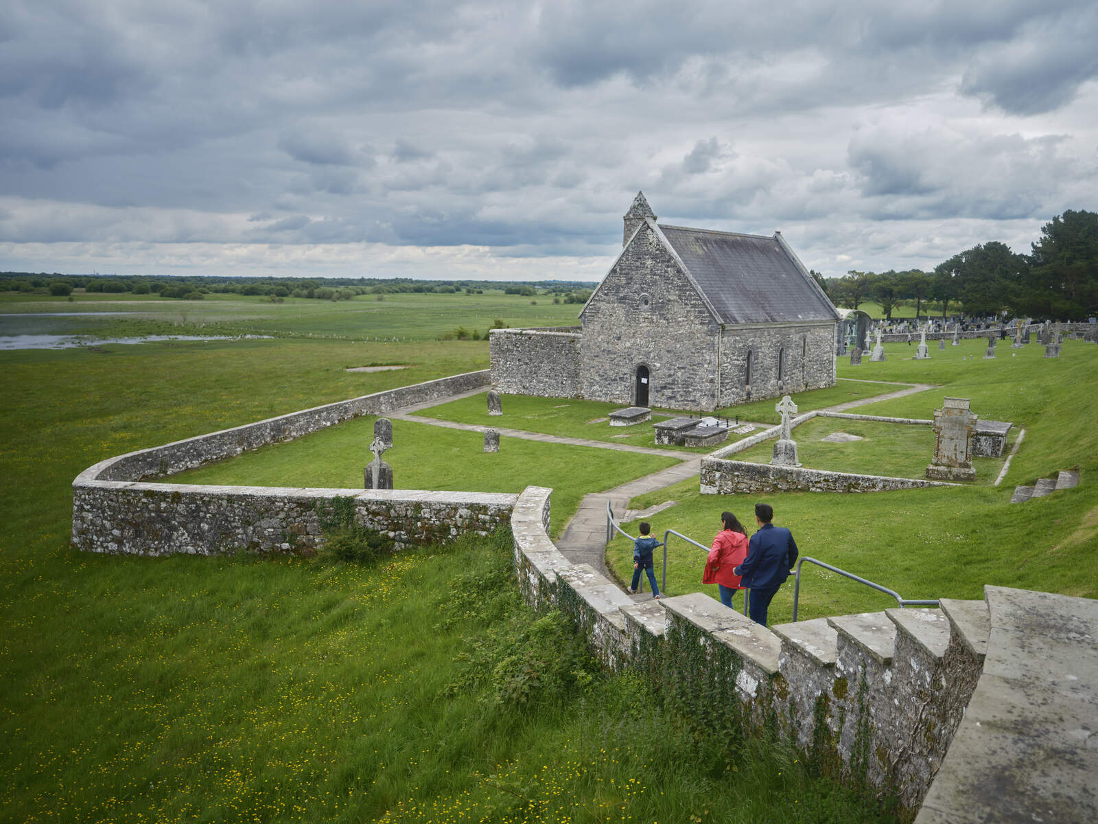
- Visit Clonmacnoise – Situated just south of the ridge where the Shannon and the Esker intersect, the monastic site founded by St Ciarán in 548 AD is a UNESCO‑recognised treasure. Its high crosses, round tower and ancient graves provide a tangible link to the spiritual life that flourished along the divide.
- Explore the Cairn at Alloon – Only a few miles north of New Inn, this 7,000‑year‑old cairn is one of the oldest man‑made monuments in Ireland. Its remote setting on the ridge makes it a rewarding detour for history enthusiasts.
- Discover the Turoe Stone and Rath of Feerwore – Though technically in the north, these iconic archaeological sites are reachable via the same east‑west corridor and illustrate the broader cultural landscape that the ridge connected.
- Scenic drives – The modern road network follows the ancient line in many places. Driving from Dublin to Galway along the M50 and M6 lets you glimpse the subtle rise of the Esker, especially near Kilcock and Mullingar.
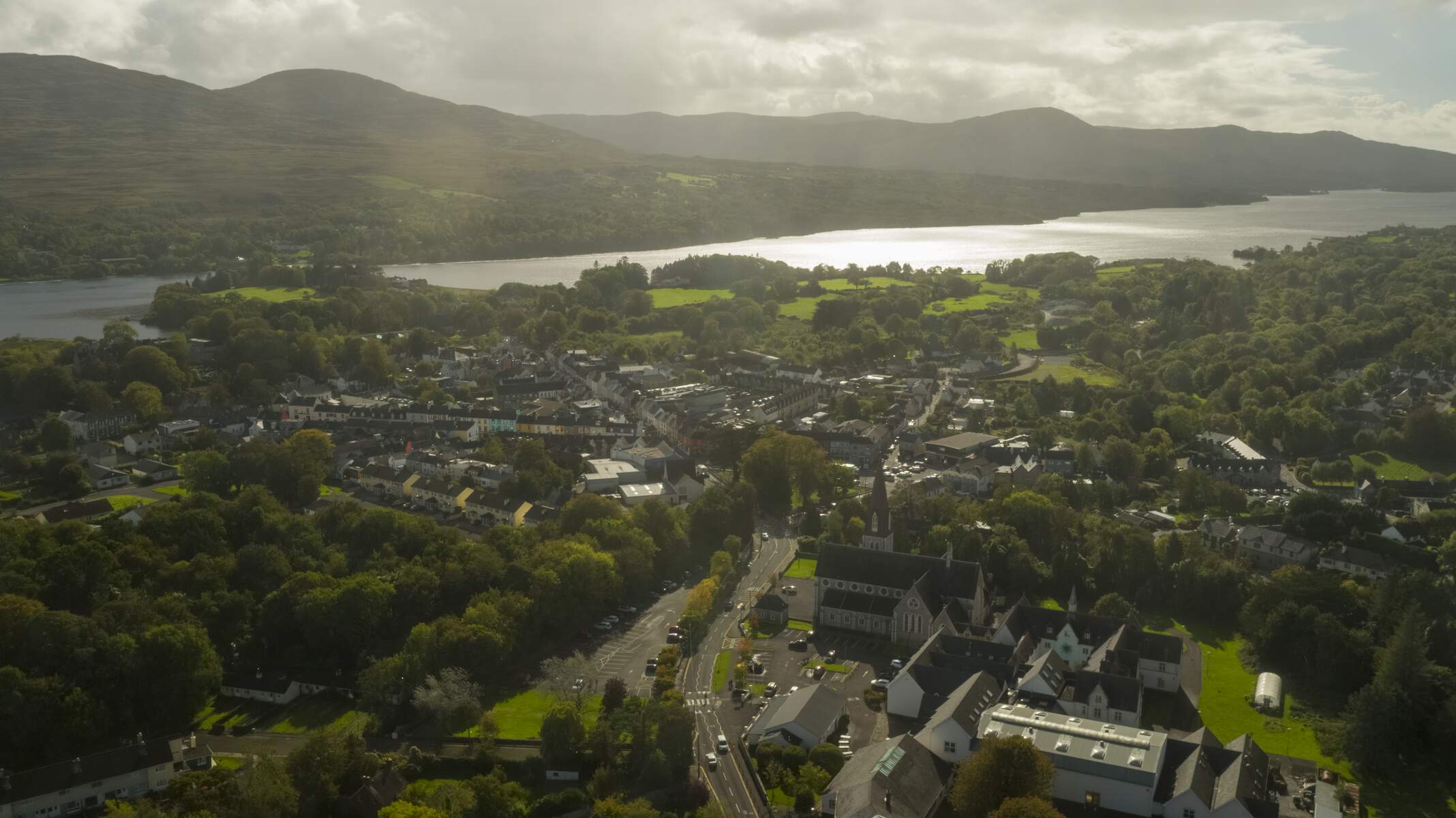
- Local heritage towns – Stop in Athlone, Portumna, or Ahascragh to see how the ridge influenced settlement patterns, place‑names (e.g., Áth Eascrach meaning “ford of the ridge”), and local folklore.
Geology and Landscape
An esker is a ridge of sand and gravel deposited by sub‑glacial melt‑water streams beneath an ice sheet. The Esker Riada formed around 10 000 years ago as the last Irish Ice Age retreated, leaving a sinuous backbone that stretches roughly 300 km from Dublin Bay to Galway Bay. The ridge’s porous material creates well‑drained soils, which contrast sharply with the surrounding peat‑filled bogs. This geological contrast is why the Esker has long served as a natural travel corridor and a convenient line for ancient roads.
Walking and Cycling Routes
The Esker Riada can be enjoyed on foot or by bike. Popular entry points include:
- New Inn Trailhead (County Galway) – a marked 5 km loop that follows the ridge’s highest points and offers interpretive signs about glacial formation.
- Athlone to Portumna – a family‑friendly 12 km cycling segment that runs alongside the Shannon, with gentle gradients suitable for all ages.
- Kilcock to Mullingar – a series of short walks linking village car parks; sections are dog‑friendly and stroller‑accessible.
All routes are free to use, but walkers should wear sturdy boots as the gravel can be uneven, especially after rain.
Seasonal Tips
- Spring and early autumn provide the most comfortable weather and the richest colours of the surrounding bogland.
- Winter can make the ridge boggy and the paths slippery; a waterproof jacket and good traction are essential.
- Mid‑summer may bring higher visitor numbers at popular sites such as Clonmacnoise, so consider an early start.
Related Linear Earthworks
Leath Mogha’s Esker Riada is one of several ancient linear features that criss‑cross Ireland. For a broader perspective on Ireland’s prehistoric boundaries, see the Black Pig’s Dyke, a series of earthworks that once marked a defensive frontier in the north‑west.
Practical Information
Leath Mogha is not a ticketed attraction; there is no admission fee and no formal opening hours. The “site” is the landscape itself, so visitors can explore at their own pace.
- Access – The ridge is intersected by major roads (M50, M6, N6) and regional routes. Parking is generally available in the villages along the way (e.g., New Inn, Ahascragh). Some walking sections start from designated trailheads with basic signage.
- Best way to experience – Combine a scenic drive with short walks. For a full‑day itinerary, start in Athlone, cross the Shannon, follow the Esker eastward to New Inn, then head south to Clonmacnoise.
- Nearby amenities – Towns such as Athlone, Portumna, and Galway provide restaurants, cafés, and accommodation ranging from B&Bs to hotels.
- Interpretive resources – While there is no dedicated visitor centre, the Galway‑Ireland website offers historical background on the Esker Riada and its role in dividing Leath Cuinn and Leath Mogha. Local museums in Athlone and Galway often feature exhibits on the ridge’s geology and mythology.
Provinces in Each Half (for quick reference)
| Half | Provinces Included |
|---|---|
| Leath Cuinn (North) | Connacht, Ulster, Meath |
| Leath Mogha (South) | Munster (including Osraighe), Leinster |
Because the division is legendary rather than administrative, modern travellers will find that the cultural imprint of Leath Mogha is visible in place‑names, historic sites, and the very shape of the land. Whether you are a history buff, a geology enthusiast, or simply love wandering off the beaten path, tracing the Esker Riada offers a unique window into Ireland’s ancient past.