Overview
The Tarsaghaun River is one of two principal rivers that drain the expansive Wild Nephin National Park in north‑west Mayo. Flowing from the foothills of the Nephin Beg range to the Atlantic, the river cuts through a landscape of active Atlantic blanket bog, craggy ridges and open heath. It is celebrated among anglers for its healthy runs of Atlantic salmon and sea trout, and among naturalists for the rare plant communities that cling to its riparian zones, notably the ivy‑leaved bellflower that blooms along its banks in midsummer.
History & Background
Human interaction with the Tarsaghaun catchment stretches back centuries. Archaeological surveys along the Bangor Trail – which skirts the river – have uncovered stone building foundations and traditional cultivation ridges, evidence of mid‑19th‑century habitation before the Great Famine depopulated the area. Historical records from the 1830s list townlands such as Glass (green) Island and Illan Rory near the river, while Griffith’s Valuation notes a handful of households scattered across the floodplain.
In the early 20th century the small settlement of Tarsaghaun supported a school, a post‑office and a handful of farms owned by landlords such as William Wilks. The school closed in the 1940s as the population fell below a thousand, a trend that continues today. The river itself has been a lifeline for fishing and modest subsistence hunting, a tradition that persists in the form of sport angling.
A more recent chapter in the river’s story involves the Tarsaghaun Bridge on the Bangor Trail. Floodwaters swept the bridge away several years ago, forcing walkers to wade across the river. County Mayo plans to replace the bridge by the end of the current year, a development that will restore a historic crossing point for the trail.
Seasonal Highlights
- Salmon & Sea‑trout – The river’s clean, oxygen‑rich waters support strong runs from May through September, with peak activity in July and August.
- Floral displays – Ivy‑leaved bellflower (Campanula rotundifolia) carpets sunny banks in June‑July, while marsh saxifrage appears later in the summer.
What to See & Do
| Activity | Highlights |
|---|---|
| Angling | Salmon and sea‑trout runs peak from late spring to early autumn. The river’s clean, oxygen‑rich waters provide ideal conditions for fly fishing. Permits are issued by the Ballycroy Visitor Centre; catch‑and‑release is required during spawning. |
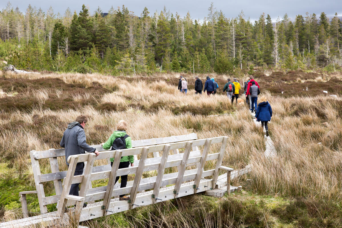
| Walking & Hiking | The Bangor Trail, a 40 km ancient drover path, follows the river for a stretch near the former bridge. The trail offers dramatic bogland vistas, stone walls and occasional glimpses of historic field systems. |
| Flora Spotting | Ivy‑leaved bellflower, marsh saxifrage and other rare bog‑edge plants are documented by the National Parks & Wildlife Service. |
| Wildlife Watching | Otters, red deer, dippers, sandpipers and occasional kingfishers frequent the river corridor. Early mornings often reveal otter tracks along the banks. |
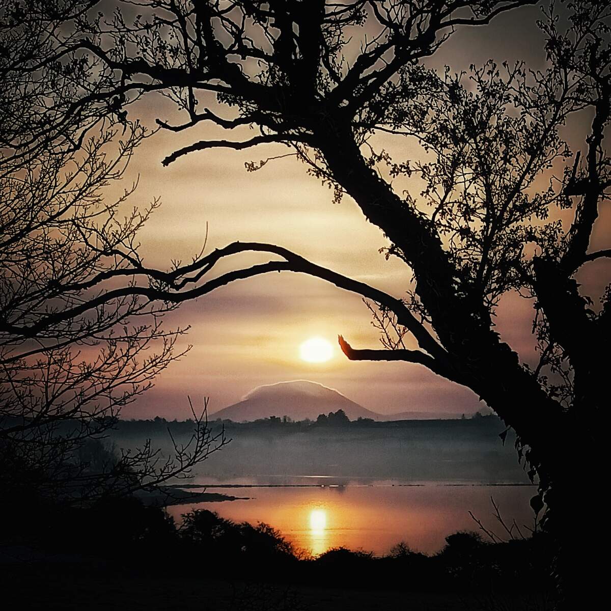
| Photography | Mist‑shrouded bends, reflective pools and the backdrop of Nephin Beg create striking compositions, especially at sunrise. |
Getting There & Parking
- Road access – The river is reached via the R314 road, turning onto the Bangor Trail turn‑off at the Letterkenny trailhead (about 8 km from the Ballycroy Visitor Centre). Signage is clear and the route is suitable for standard cars.
- Parking – A free car park at the Letterkenny trailhead provides space for up to 30 vehicles, a picnic bench and interpretive panels.
- Shuttle service – From June to August a free shuttle runs between the Ballycroy Visitor Centre, Letterkenny trailhead and the Claggan Mountain Coastal Trail. Timetables are posted at the Visitor Centre.
- Dog‑friendly – Dogs are allowed on the trail but must be kept on a lead near wildlife nesting sites.
Practical Information
The former Tarsaghaun Bridge site is currently a shallow ford; water depth can vary from ankle‑deep after dry weather to knee‑high following rain. The County Council’s bridge replacement project is scheduled for completion by year‑end, so walkers should check the latest status with the Visitor Centre before setting out.
There is no admission fee to walk along the river or to explore the surrounding bogland. Parking at the Letterkenny trailhead is free and includes a small picnic area and interpretive panels that explain the river’s ecology and history.
For up‑to‑date information on river conditions, fishing permits, and the bridge replacement schedule, contact the Ballycroy Visitor Centre:
| Contact | Details |
|---|---|
| Phone | 098 49888 |
| ballycroyvisitorcentre@ahg.gov.ie | |
| Website | Wild Nephin National Park |
The river is part of the Owenduff/Nephin Complex Special Area of Conservation, meaning its water quality and surrounding habitats are monitored closely. Visitors are encouraged to stay on marked paths to protect the delicate bog vegetation and to avoid disturbing nesting birds.
Nearby Attractions
- Aasleagh Falls – A short 5 km drive north along the R314 brings you to the dramatic Aasleagh Falls, a popular spot for picnics and photography. (Aasleagh Falls)
- Ballycroy National Park – The wider park offers additional walking routes, a visitor centre and a wildlife garden. (Ballycroy National Park)