Overview
Stumpa an tSaimh Ridge – popularly called Hag’s Tooth – is a jagged, airy ridge that forms part of the iconic MacGillycuddy’s Reeks in County Kerry. At 662 m (2,172 ft) it sits below the two 1,000‑metre giants Beenkeragh (1,010 m) and Carrauntoohil (1,040 m). The ridge is famed for its exposed scrambling, dramatic rock formations and the unique perspective it offers of the Reeks’ highest summits. The route is typically tackled as part of a longer ascent to Carrauntoohil, making it a favourite for experienced hill‑walkers seeking a “hairy” but rewarding adventure.
History
The Irish name Stumpa an tSáimh translates to “stump of the sorrel”, a nod to the low‑lying vegetation that clings to the rocky outcrop. Older maps also record the name Stumpeenadaff (“little pinnacle of the ox”) and Stumpa Bharr na hAbhann. Historically the ridge was a waypoint for local shepherds moving livestock between summer pastures. In the early 20th century it became a benchmark for Irish hill‑walking, appearing in the first Vandeleur‑Lynam lists and later in guidebooks such as the ActiveME route description.
Route Details
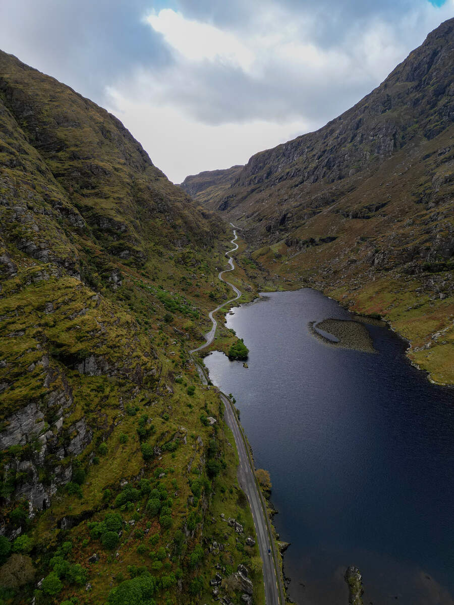
The classic traverse begins at Cronins Yard, a free car‑park just west of Killarney (about 5 km from the town centre via the N72). An alternative start point is the Lisleibane A car‑park (grid V82600 87450) which gives a slightly longer but quieter approach.
- Hag’s Tooth (Stumpa an tSáimh) – From the trailhead follow the well‑marked path up the Hag’s Glen, crossing a small stream before the ridge appears. The first major feature is the Tooth itself; a short, exposed scramble brings you onto the summit plateau.
- The Bones – Continuing north‑east the ridge narrows into a series of airy scrambles locally called The Bones. This section includes the unnamed Bones Peak (956 m) and demands confidence on steep drops.
- Beenkeragh – The ridge then climbs to the summit of Beenkeragh (1,010 m). A brief rest here offers sweeping views of the Black Valley and the Atlantic coastline.
- Carrauntoohil Summit – The final push follows the narrow connecting ridge to Ireland’s highest point, Carrauntoohil. The iconic summit stone provides a 360° panorama that stretches from the Dingle Peninsula to the Mourne Mountains.
- Descent – Heavenly Gates / O’Shea’s Gully – Most walkers return via the Heavenly Gates (also known as O’Shea’s Gully). This less‑trodden path winds down the western flank of Carrauntoohil and rejoins Cronins Yard after a total walking time of 5–7 hours.
| Feature | Details |
|---|---|
| Starting point | Cronins Yard (V83600 87300) or Lisleibane A (V82600 87450) |
| Total distance | ~11 km (round‑trip) |
| Estimated time | 5 h ascent, 2 h descent (7 h total) |
| Elevation gain | ~941 m |
| Difficulty | Strenuous – exposed scrambling, head for heights required |
| Key summits | Hag’s Tooth (662 m), Beenkeragh (1,010 m), Carrauntoohil (1,040 m) |
| Notable features | The Bones, The Bones Peak (956 m), Heavenly Gates/O’Shea’s Gully |
Geology & Environment
The ridge sits on the Lough Acoose Sandstone Formation, a well‑bedded grey sandstone that forms the backbone of the Reeks. The western slopes are notoriously unstable – loose boulders can tumble without warning, so a firm footing and a “head for heights” are essential. The summit area supports a thin carpet of sorrel and other alpine flora, giving the Irish name its meaning.
Seasonal & Weather Considerations
Weather in the Reeks can change rapidly. The ridge is safest in late spring to early autumn (May – September) when daylight is long and the ground is generally dry. Summer thunderstorms can make the exposed sections treacherous, while winter snow and ice increase the risk of slips. Always check the latest forecast on the ActiveME planning page and carry waterproof clothing, layers and a warm hat.
Guided Walks & Services
For those who prefer a leader, KerryClimbing.ie runs guided ascents of the Stumpa an tSaimh Ridge. The guided version is graded Challenging and costs €90 per person. Guided groups usually start from Cronins Yard and include detailed safety briefings, GPS navigation and a post‑summit coffee at the tear‑room near the car‑park.
Practical Information
- Access – Drive west from Killarney on the N72, follow signs for Cronin’s Yard (or Lisleibane). No public transport serves the trailhead; a private car or taxi is required.
- Parking – Free car‑park at Cronins Yard (capacity for several cars). The Lisleibane car‑park is also free.
- Maps – OSi 50 km sheet 078 (Kerry), Harvey Superwalker 1:30 000, and the ActiveME GPX/KML files.
- Navigation – The route is only lightly sign‑posted beyond the trailhead. Use a GPS device or the ActiveME iPhone/Android app; the app provides live tracking and offline maps.
- Facilities – No toilet facilities at the car‑park; the nearest public toilets are in Killarney town.
- Nearby base – The village of Beaufort is a convenient stop for food, accommodation and gear hire; see the Beaufort page for options.
Getting There
From Killarney, follow the N72 westwards for about 5 km; the signposted turn‑off to Cronin’s Yard appears just before the Gap of Dunloe. The car‑park sits on the left-hand side of the road. If you are travelling from Tralee, take the N21 north to Killarney and then the same N72 route.
Safety Notes
- Classified as a risk sport by MountainViews.ie – walkers assume full responsibility for their safety.
- The ridge includes steep drops, loose scree and sections where a slip could be serious. Carry a map, compass and a fully‑charged GPS device.
- Mobile reception is limited; inform a friend or family member of your intended route and expected return time.
- In poor visibility the Heavenly Gates descent can be hard to locate – aim to complete the loop before dusk.
- Recommended equipment: sturdy hiking boots, a helmet (optional but advised for the exposed sections), waterproof jacket, warm layers, plenty of water and high‑energy snacks.
Further Reading & Resources
- Detailed route description and GPS tracks: ActiveME guide
- MountainViews summit page: Hag’s Tooth (Stumpa an tSaimh)
- Guided ascents and equipment lists: KerryClimbing.ie